Private North Iceland Waterfalls & Laufás Heritage Tour
210.990 ISK
5 godzin i 30 minut

Umiarkowany
249.990 ISK
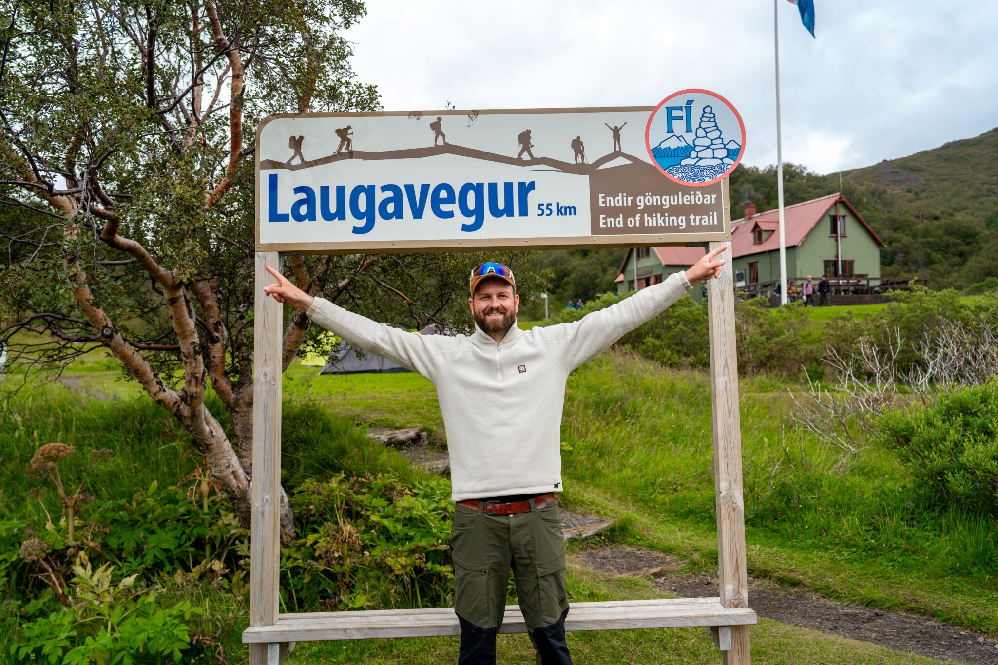
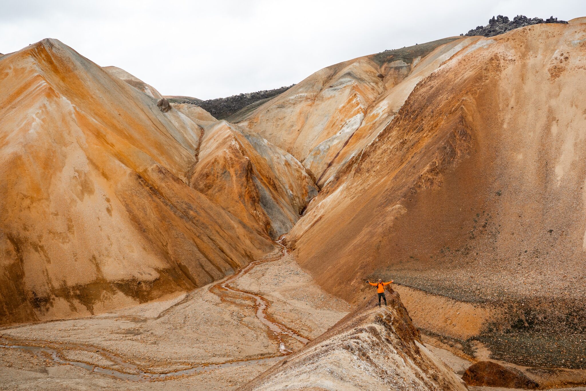
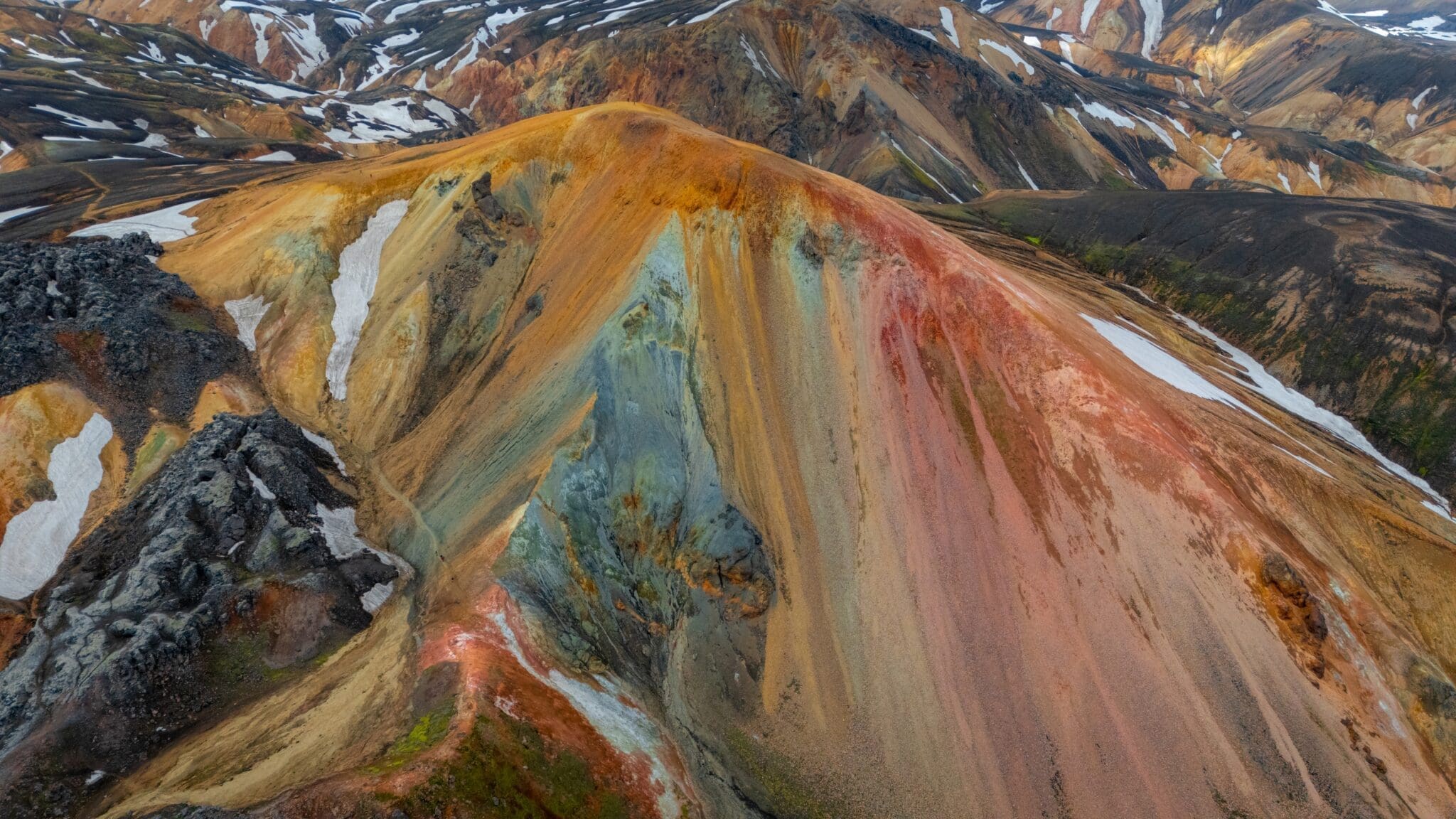
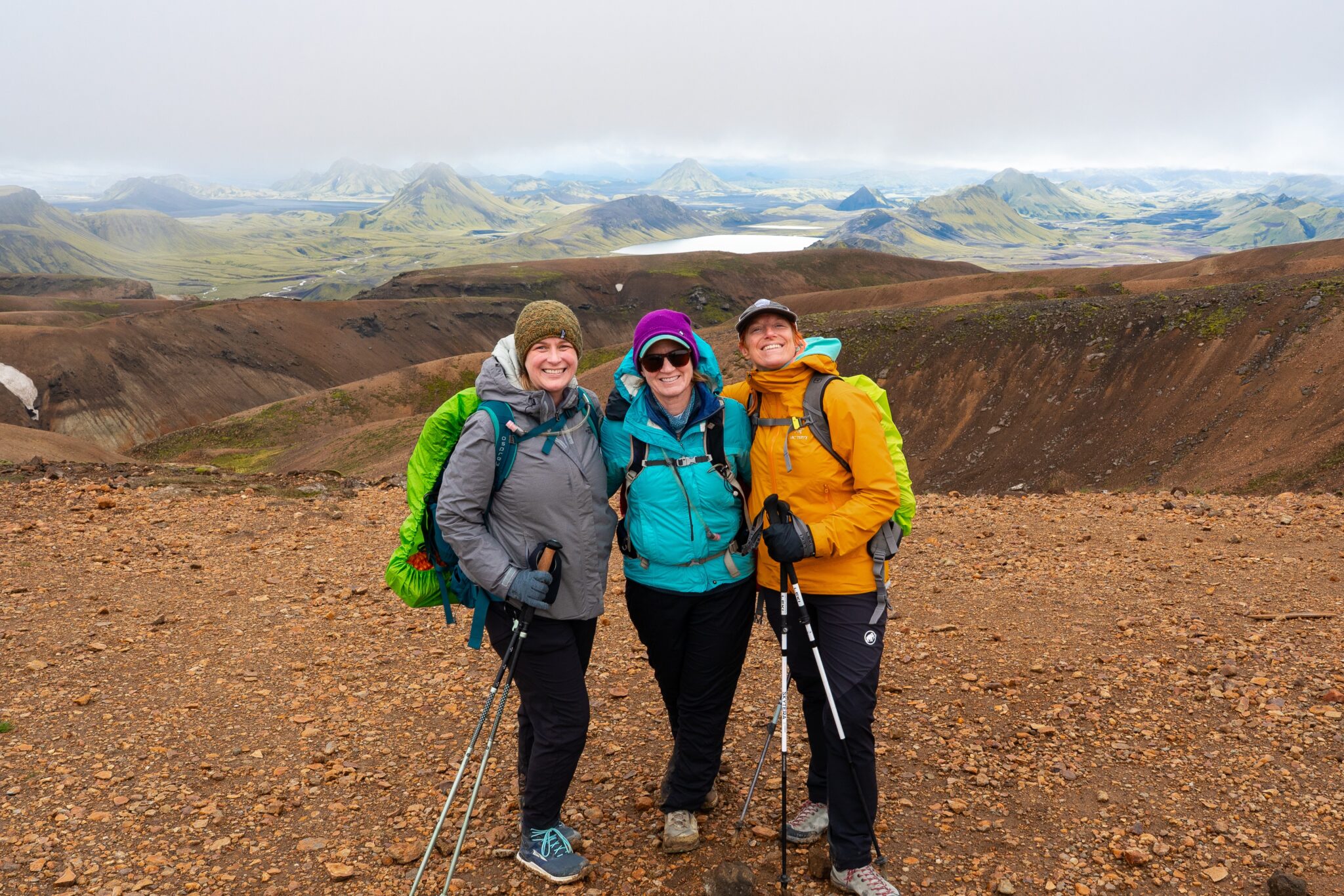
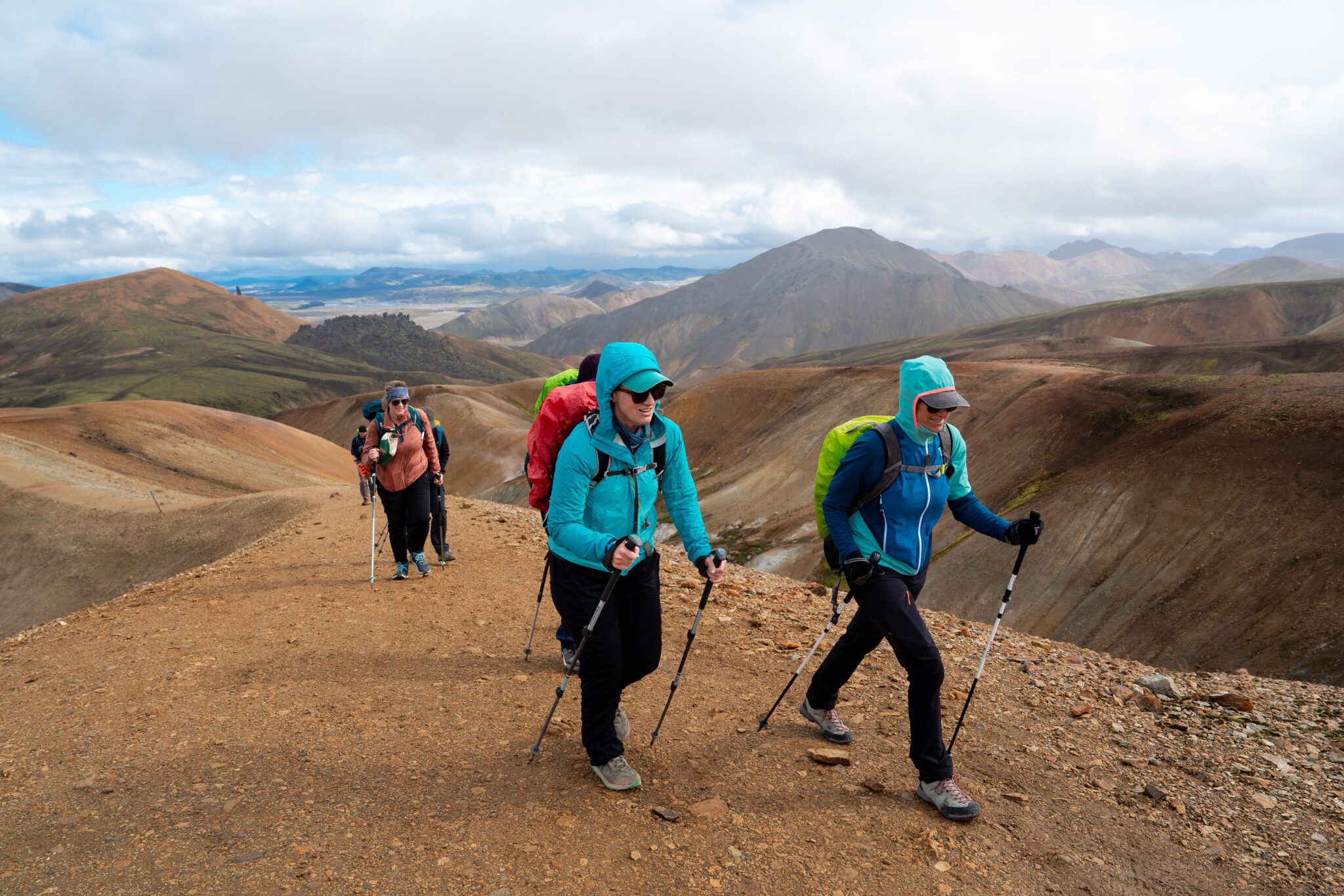
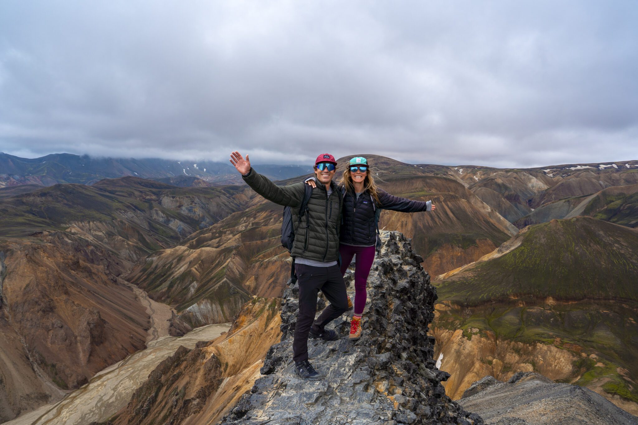
Over four incredible days, complete the iconic 55-km (34-mile) Laugavegur Trail, trekking through colorful rhyolite mountains, black sand deserts, and lush valleys. Camp in tents in Iceland’s pristine wilderness, with your luggage transported for a hassle-free adventure. You start in the geothermal wonderland of Landmannalaugar and end in the lush, glacier‑carved valley of Þórsmörk. Guided by experts, this unforgettable journey combines raw natural beauty, breathtaking contrasts, and the thrill of exploring one of the world’s most celebrated trails!
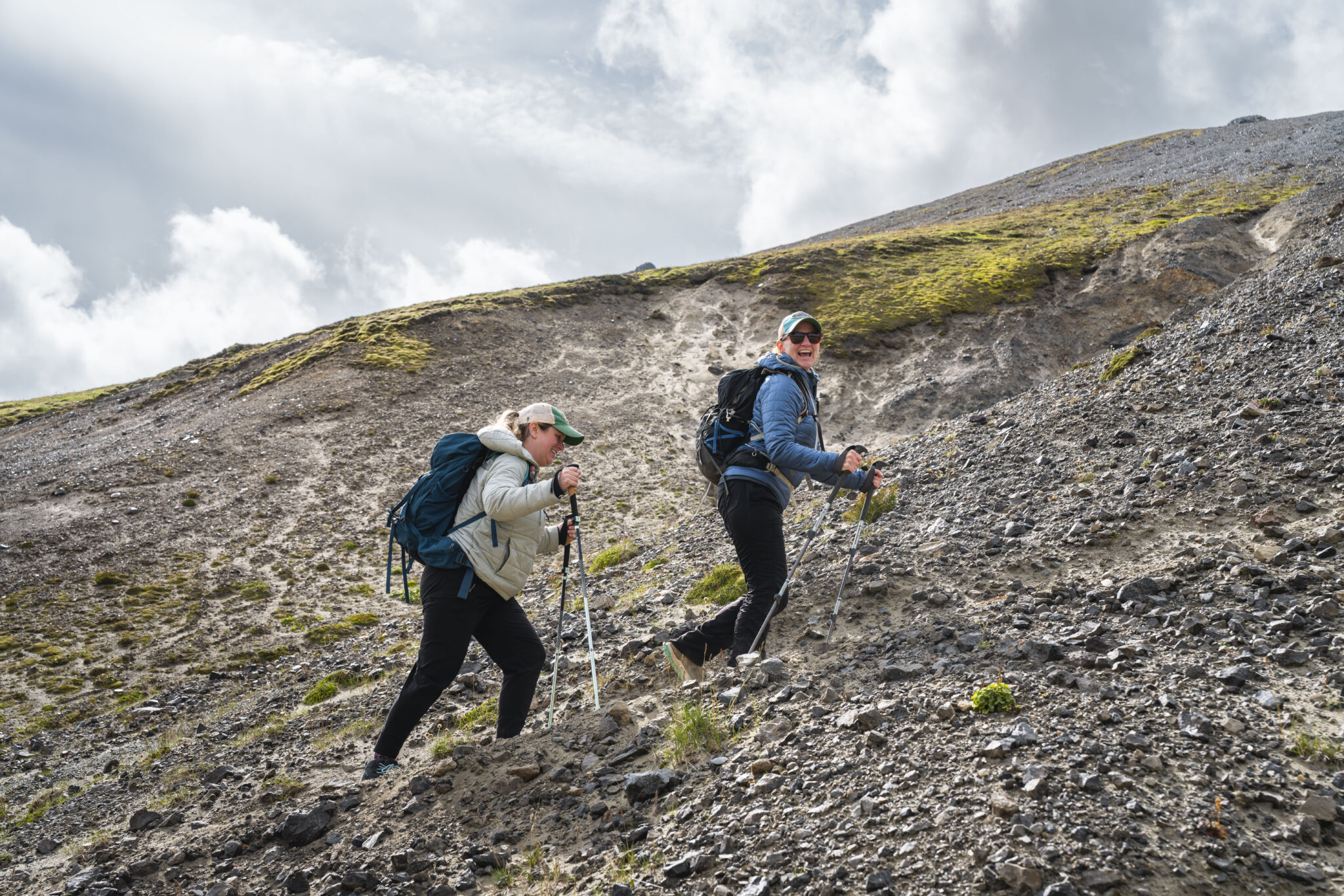
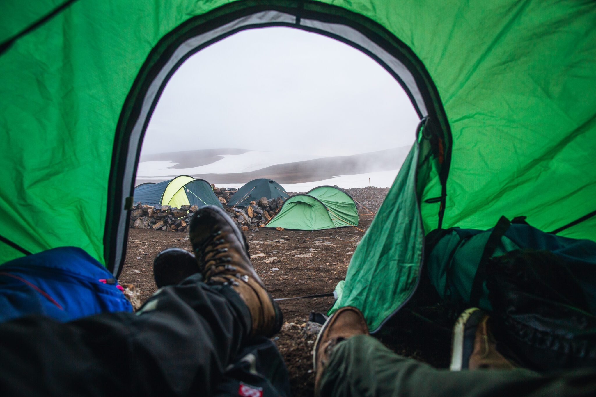
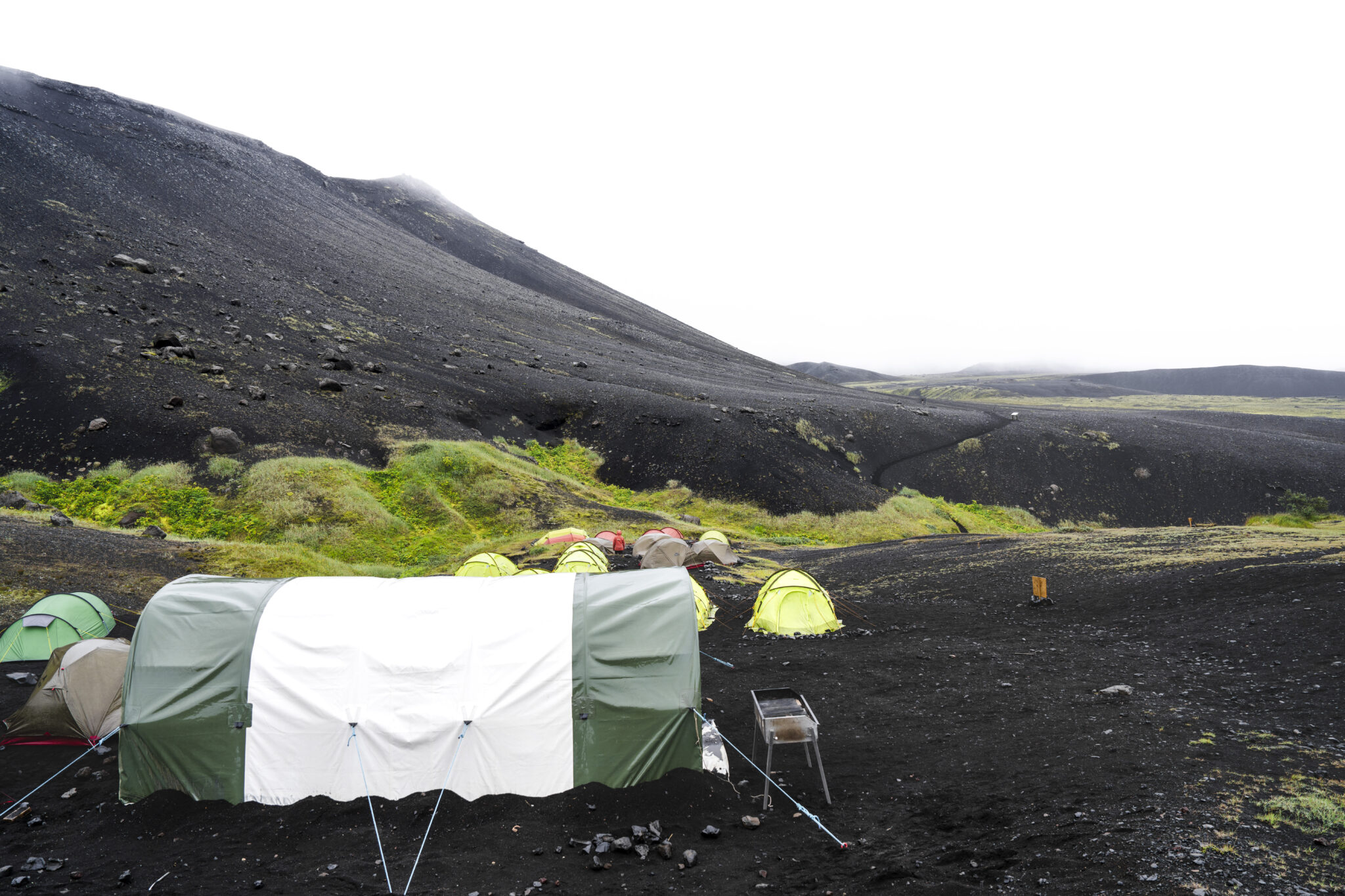
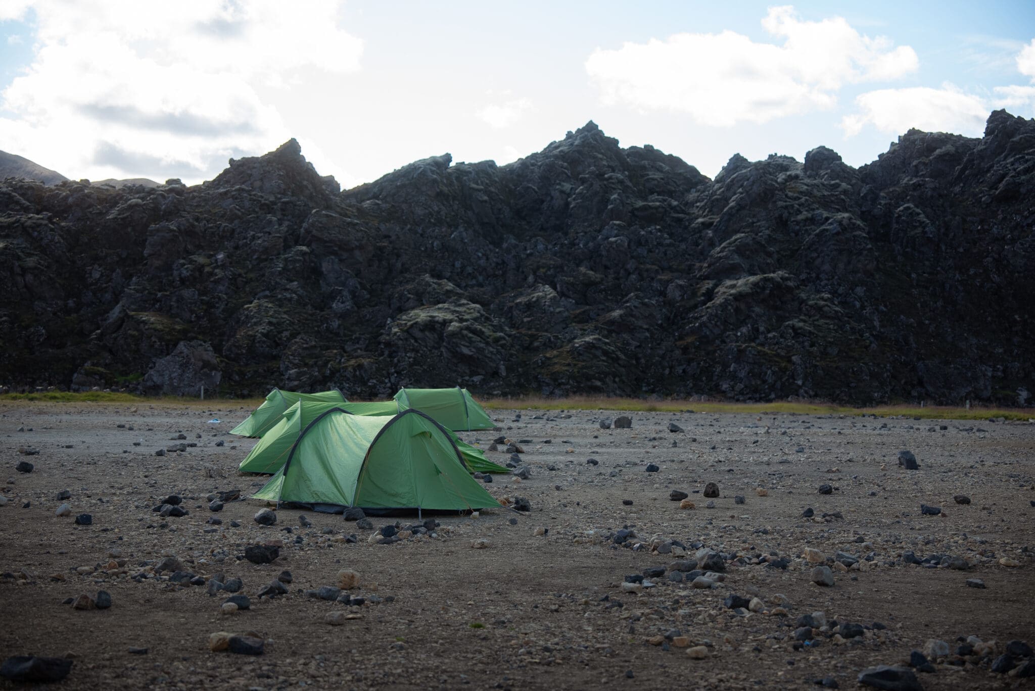
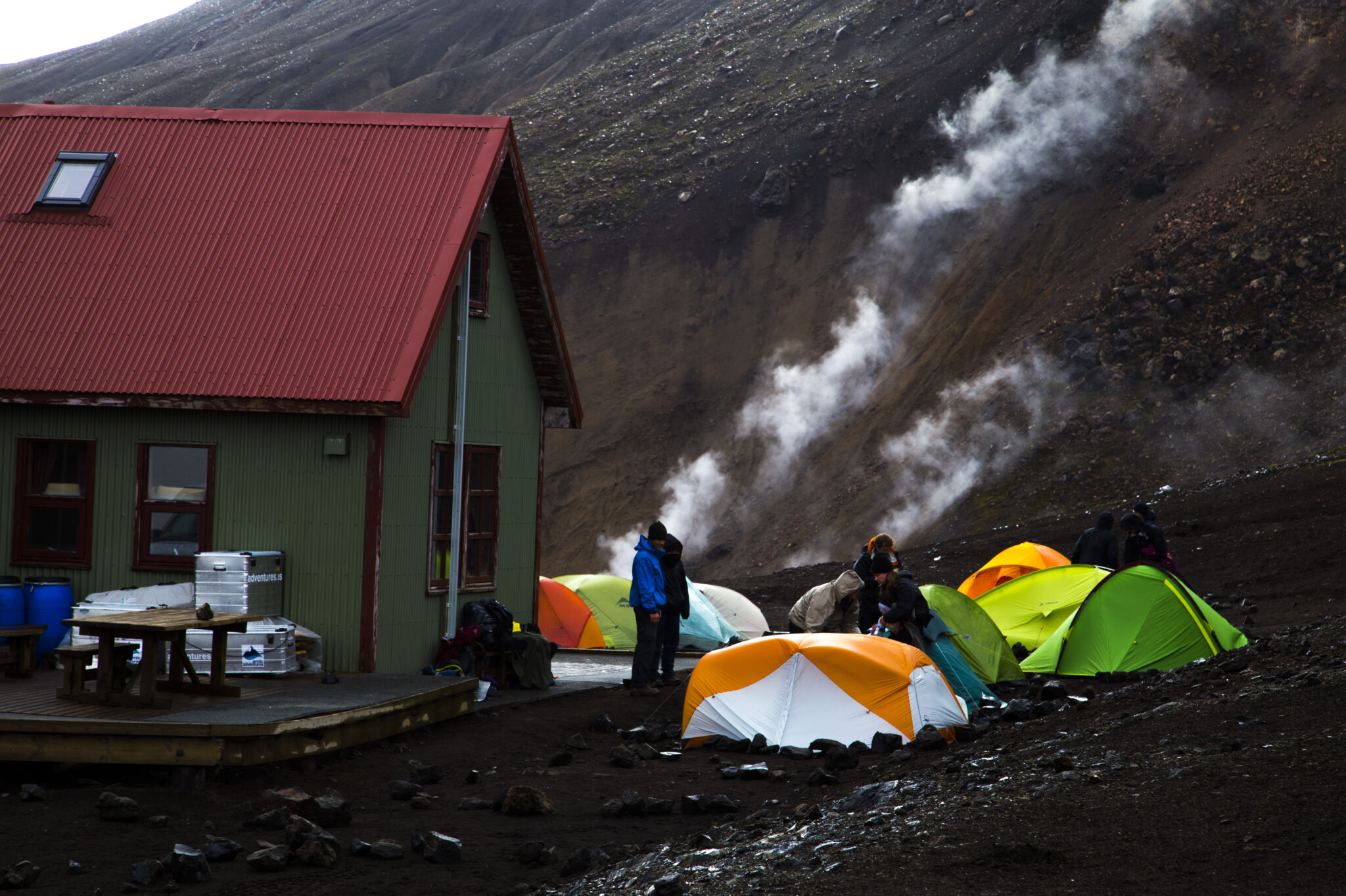
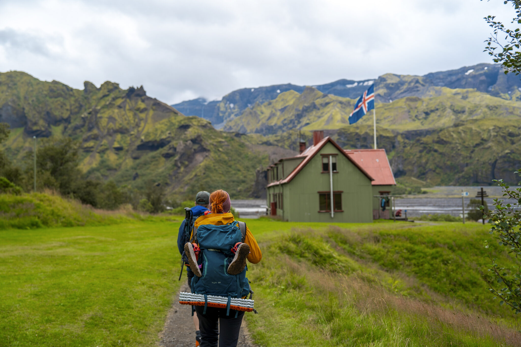
The Laugavegur Trail is well‑maintained and perfectly suited for adventurous hikers. Your expert guide will ensure a safe and enjoyable journey – sharing local insights, pointing out hidden gems, and bringing Iceland’s dramatic geological history to life. You’ll camp each night in designated Highland campsites.
Najważniejsze
For full details on the daily itinerary and camping arrangements click tutaj.
Please note: Arctic Adventures reserves the right to alter itineraries and/or timetables should it be necessary due to adverse weather and or other related conditions.
Aby uzyskać więcej informacji na temat tego, co spakować, zapoznaj się z naszym Trasa Laugavegur pakiet informacyjny.
Your adventure begins with an early morning departure from Reykjavík, followed by a scenic 3–4 hour drive to Landmannalaugar. Along the way, you’ll take in sweeping views of the South Coast before entering the rugged Highlands, passing by the infamous Hekla volcano.
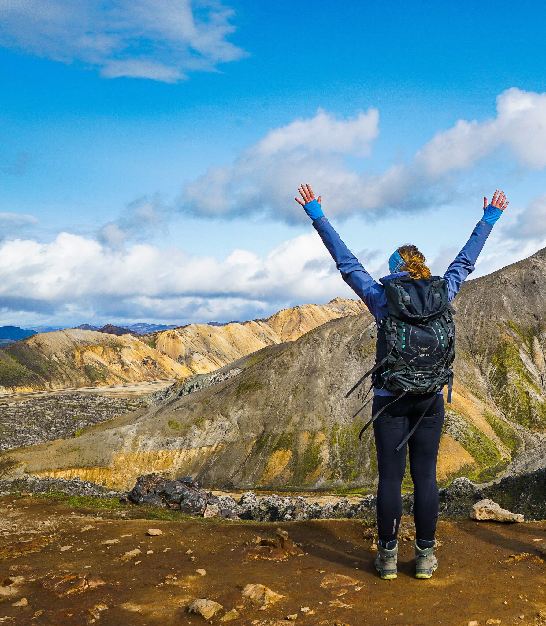
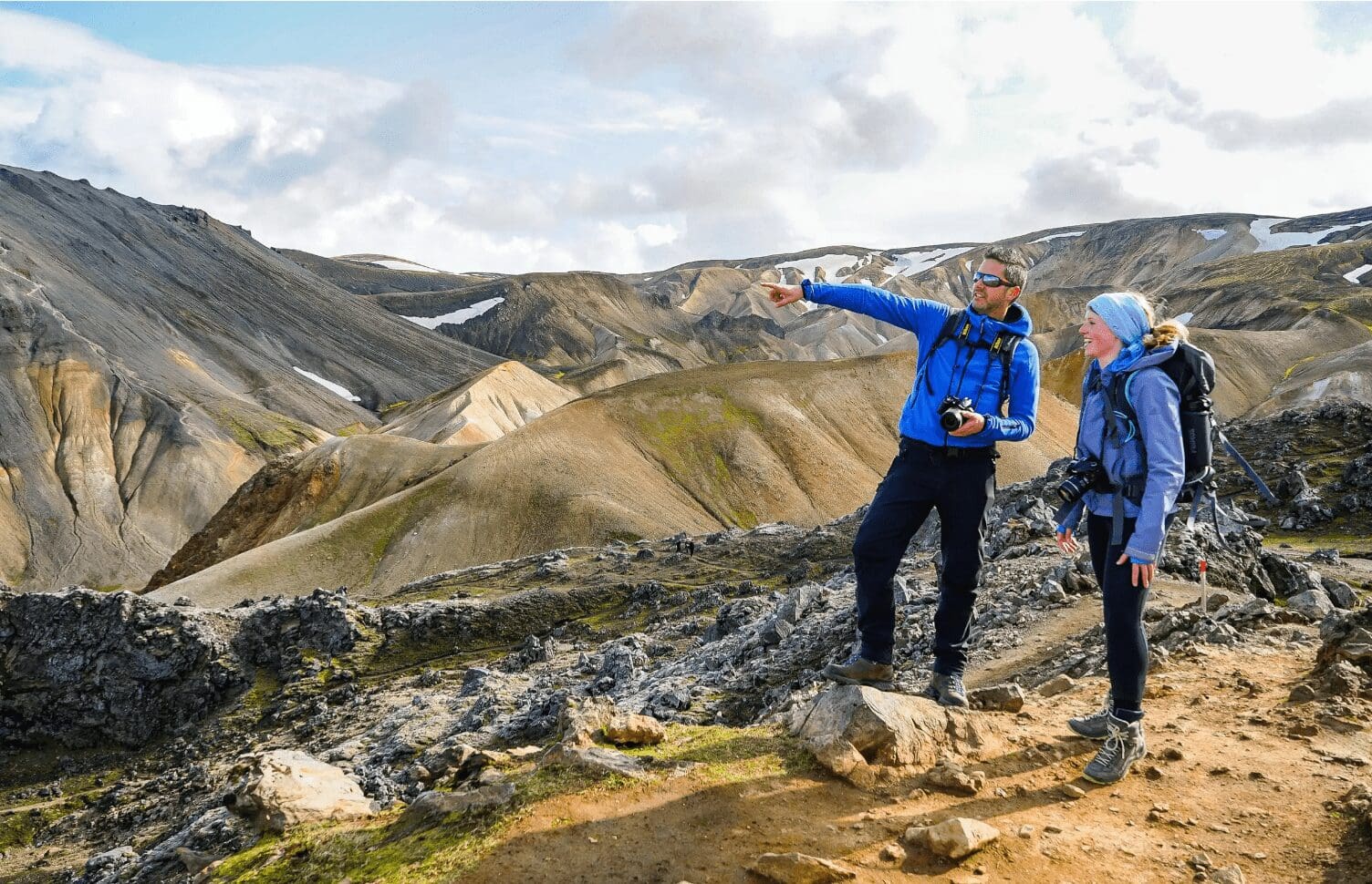
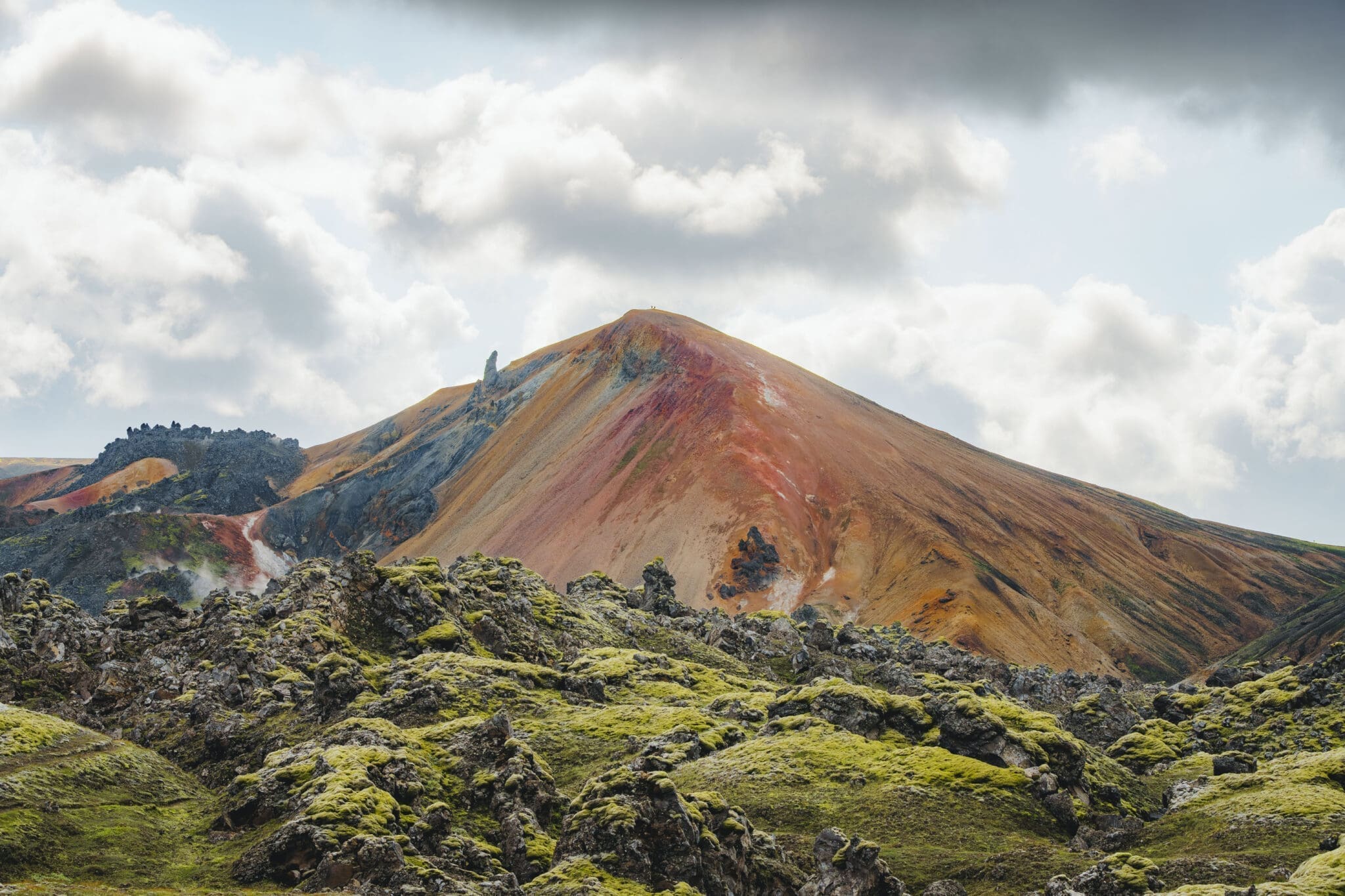
The Laugavegur Trail starts in the vibrant geothermal region of Landmannalaugar. Before jumping into the full trek, you’ll spend the first day on a warm-up hike to get your legs moving and ready for the days ahead. This scenic loop winds through some of the area’s most unforgettable terrain, including the surreal Laugahraun lava field, the colorful Grænagil gorge, and the impressive Bláhnjúkur volcano. It’s the ideal way to settle into the rhythm of the trail while taking in the raw beauty of the landscape.
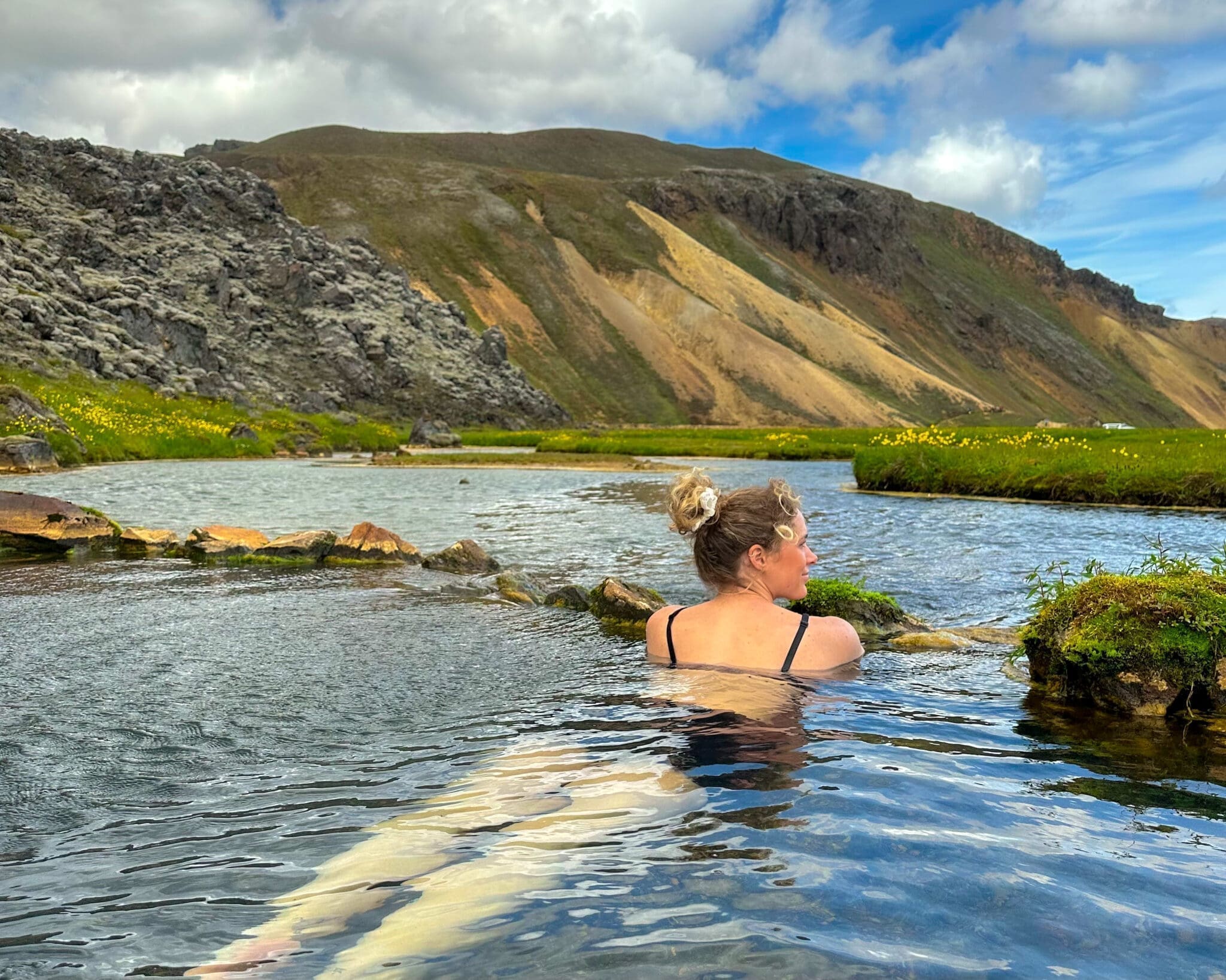
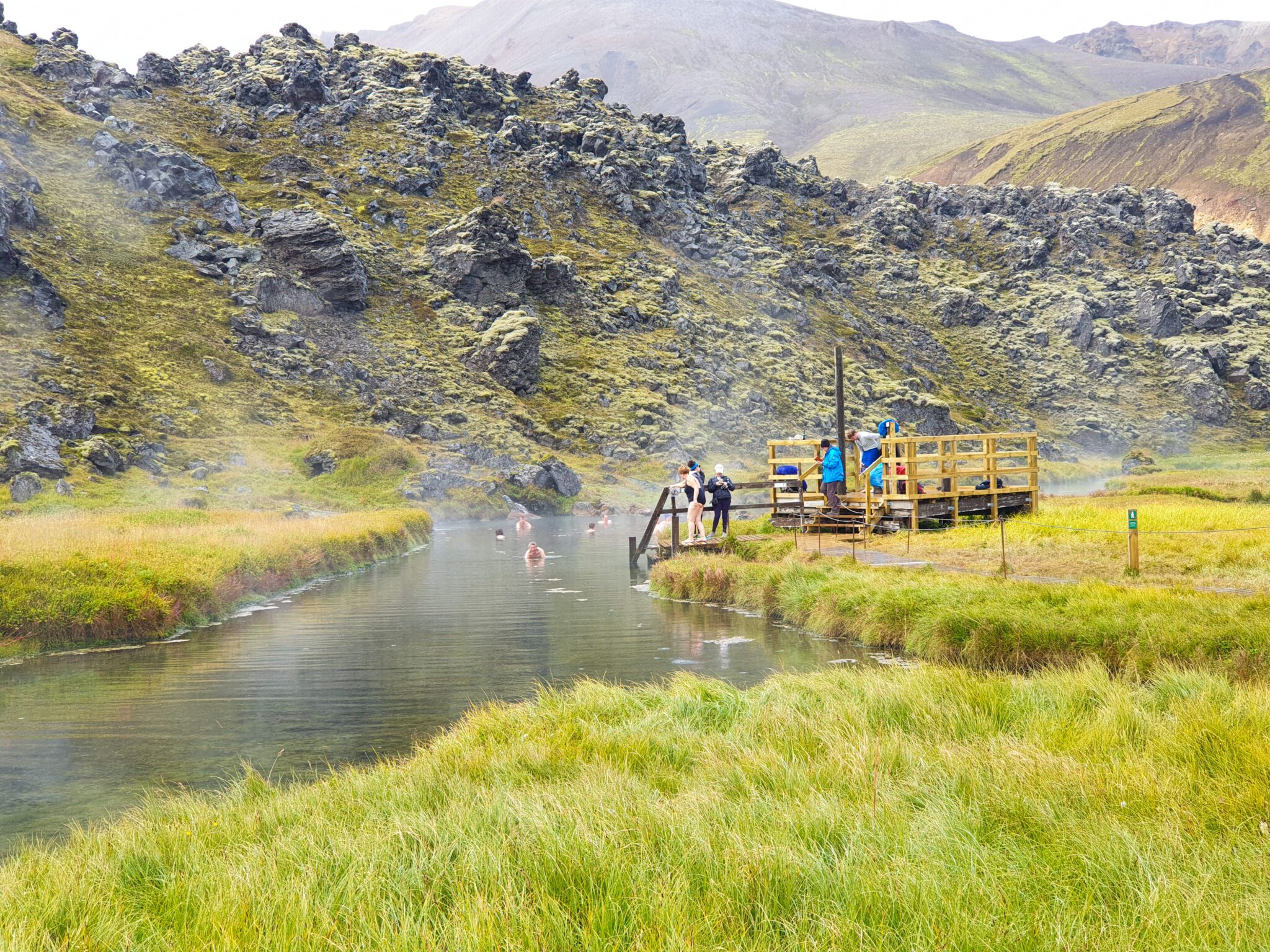
Pierwszą noc spędzimy w Landmannalaugar Wieczorem zjemy pyszną kolację, poznamy się lepiej i zrelaksujemy się w jedynym naturalnym gorącym źródle geotermalnym na szlaku, niezapomnianym przeżyciu w otoczeniu oszałamiającego góralskiego piękna Islandii.
Odległość: ~5.7 km (3.5 mi). Czas chodzenia: 2.5-3.5 hrs. Wspinaczka: 320 m (1,050 ft)
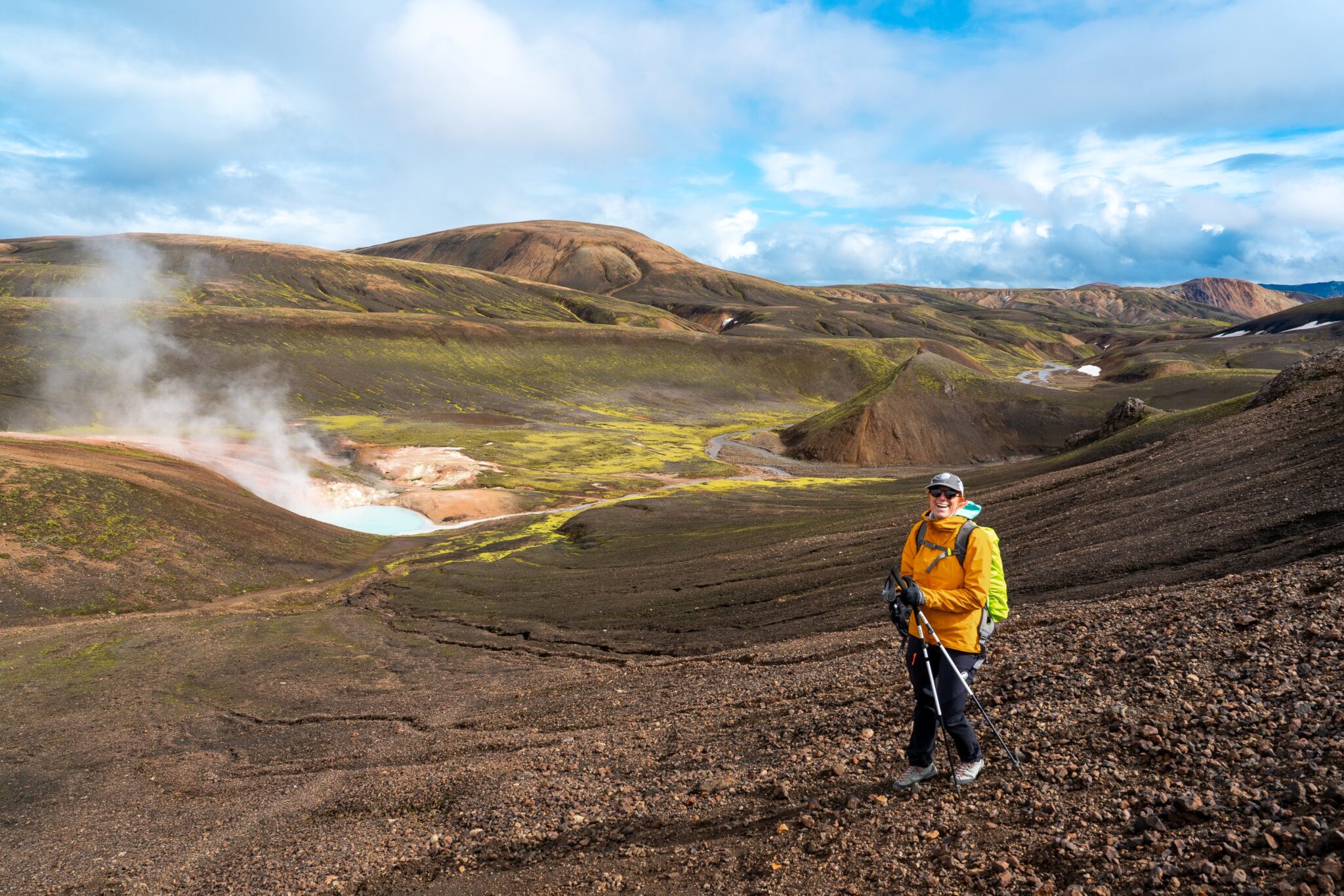
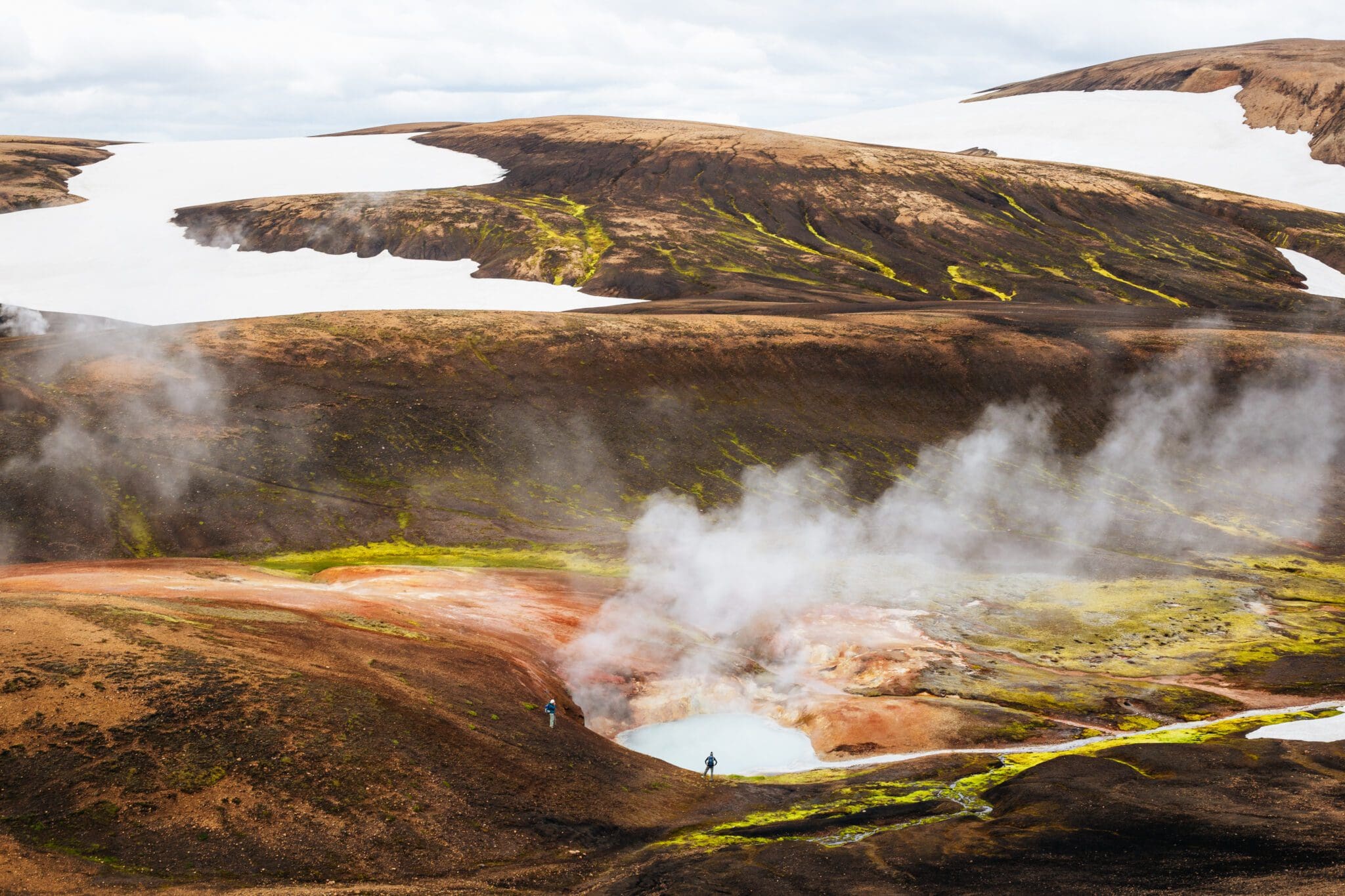
We’ll kick off the day by crossing the Laugahraun lava field, surrounded by rugged terrain and lava formations. Along the way, you’ll pass the vividly colored slopes of Brennisteinsalda, then continue toward the steaming rhyolite mountains of Reykjafjöll. The path climbs through narrow gorges, winds past the hot springs of Stórihver, and follows bold yellow ridgelines. The scenery soon shifts dramatically as you enter the dark, glistening expanse of the Hrafntinnusker obsidian desert. Here, we’ll take a well-earned break and enjoy lunch in this striking and remote landscape.
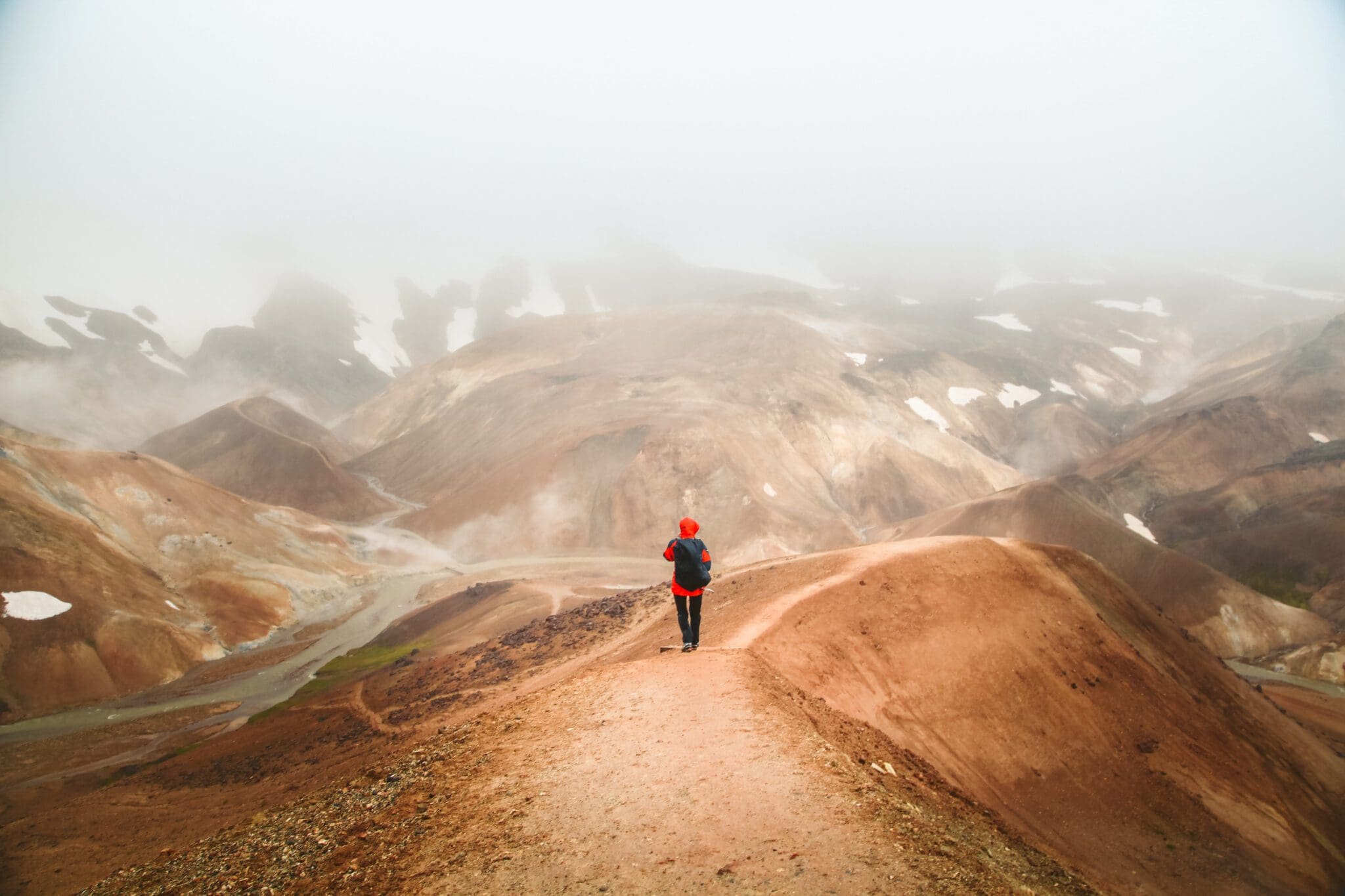
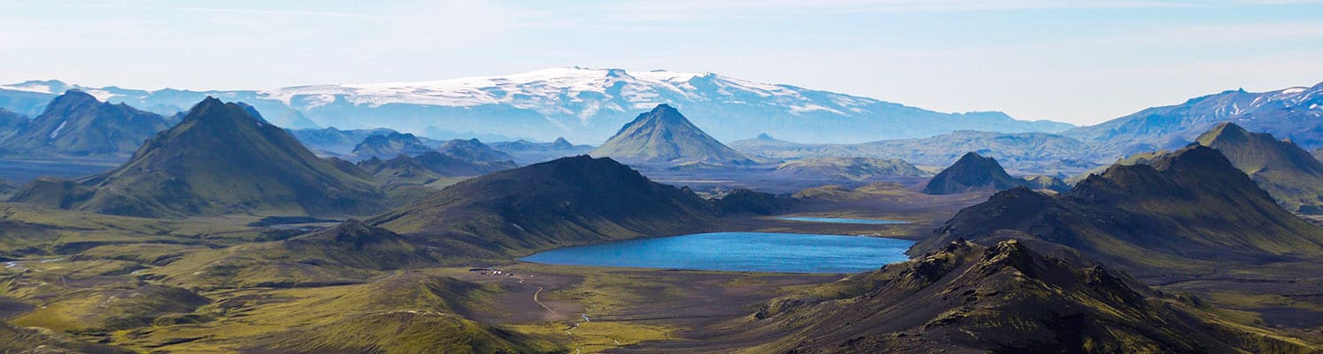
Z Hrafntinnusker schodzimy do wąwozów Jökultungur, geotermalnej krainy czarów wypełnionej parującymi gorącymi źródłami i bulgoczącymi basenami błotnymi Z czasem aktywność geotermalna pomalowała te wąwozy w żywych odcieniach żółci i czerwieni, pięknie kontrastując z otaczającymi je bladymi szczytami w odcieniach piasku Na szczycie Jökultungur podziwiamy zapierające dech w piersiach widoki na region Fjallabak i, jeśli pozwala na to pogoda, łapiemy przebłyski lodowców Mýrdalsjökull, Eyjafjallajökull.
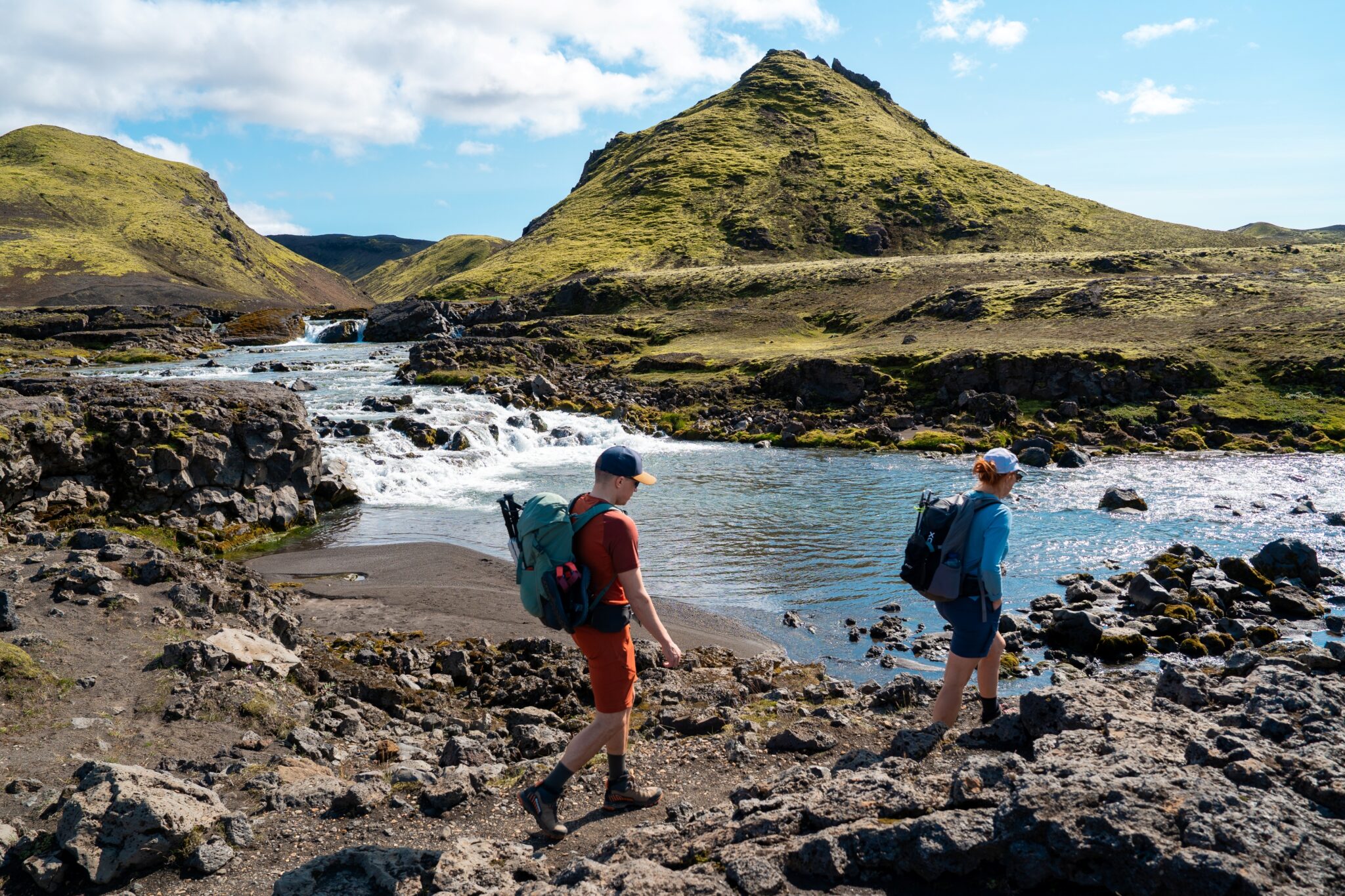
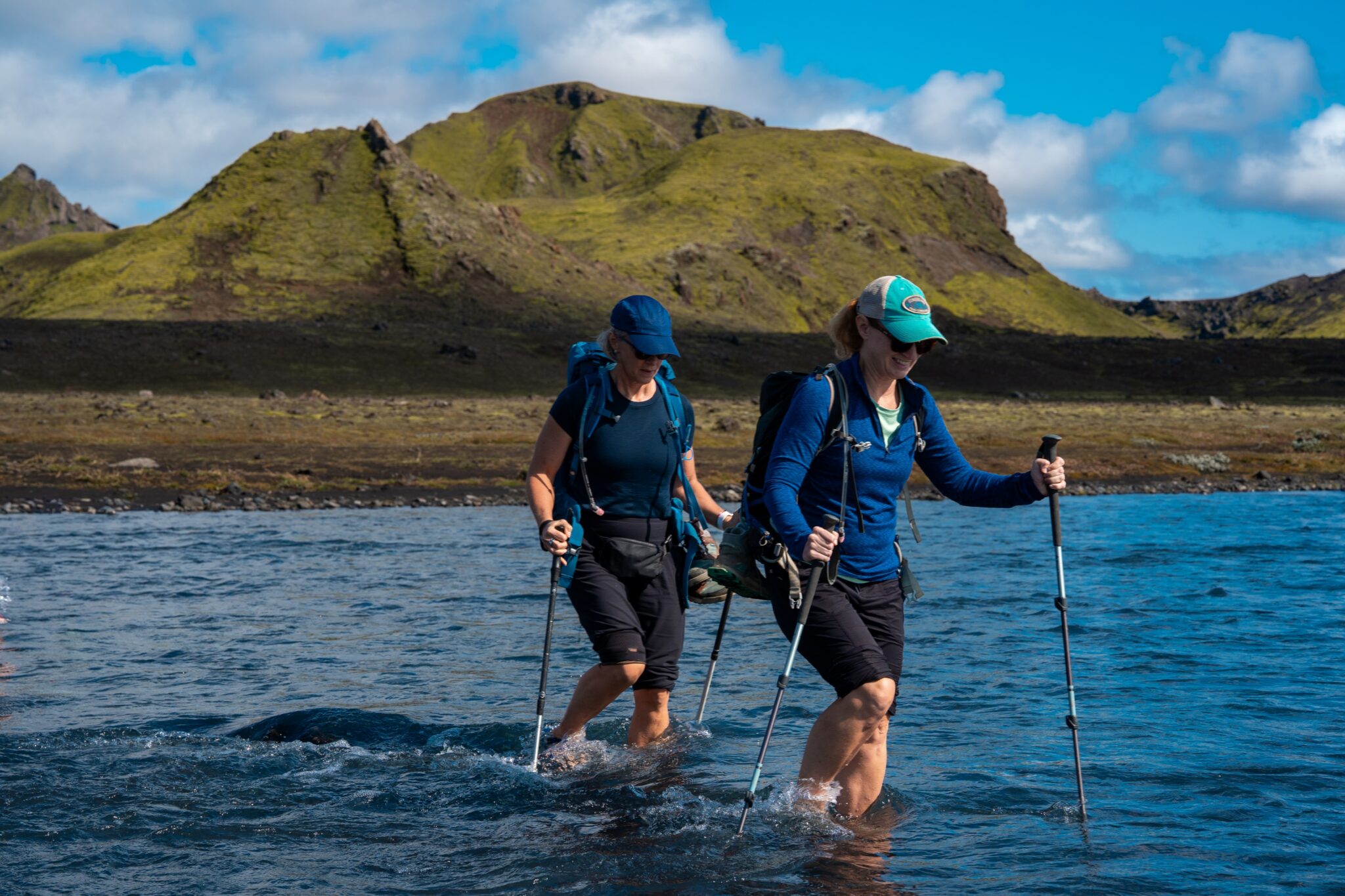
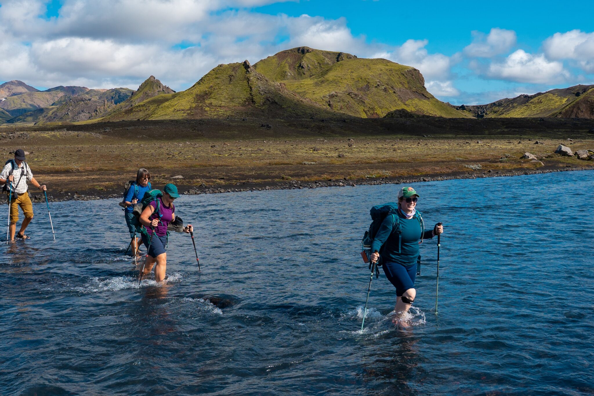
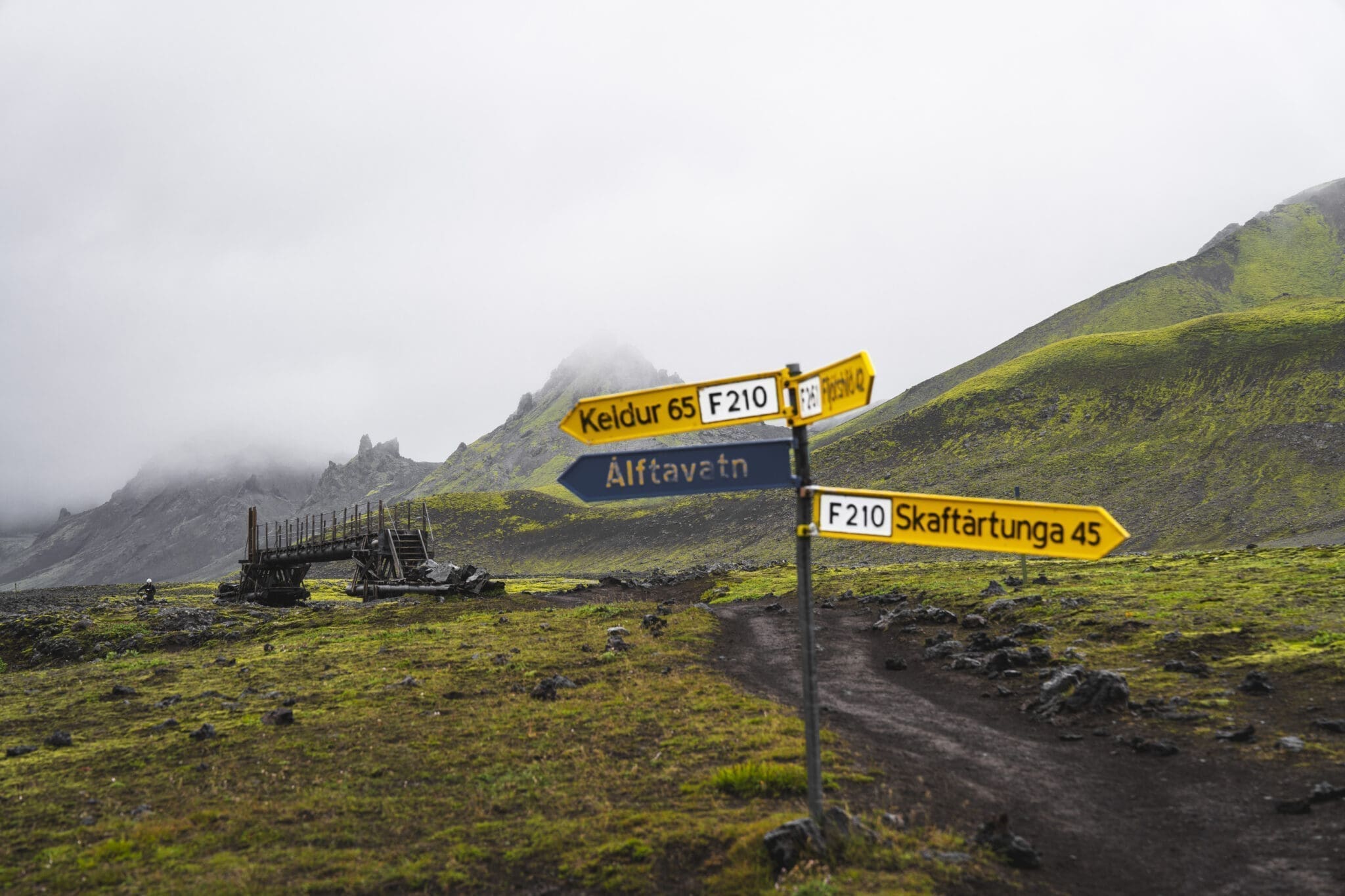
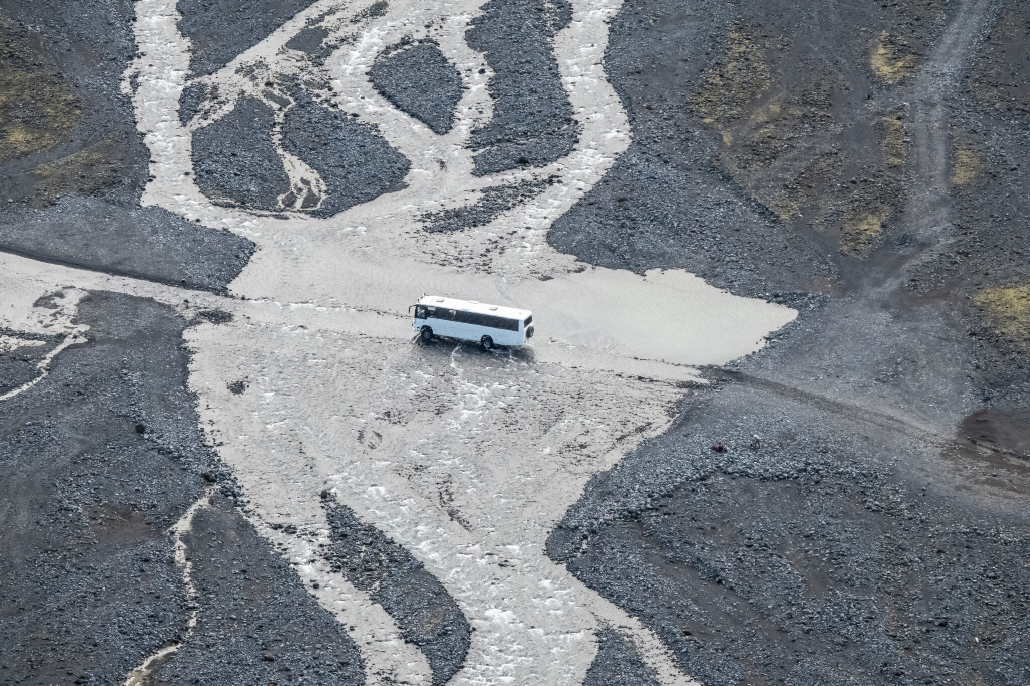
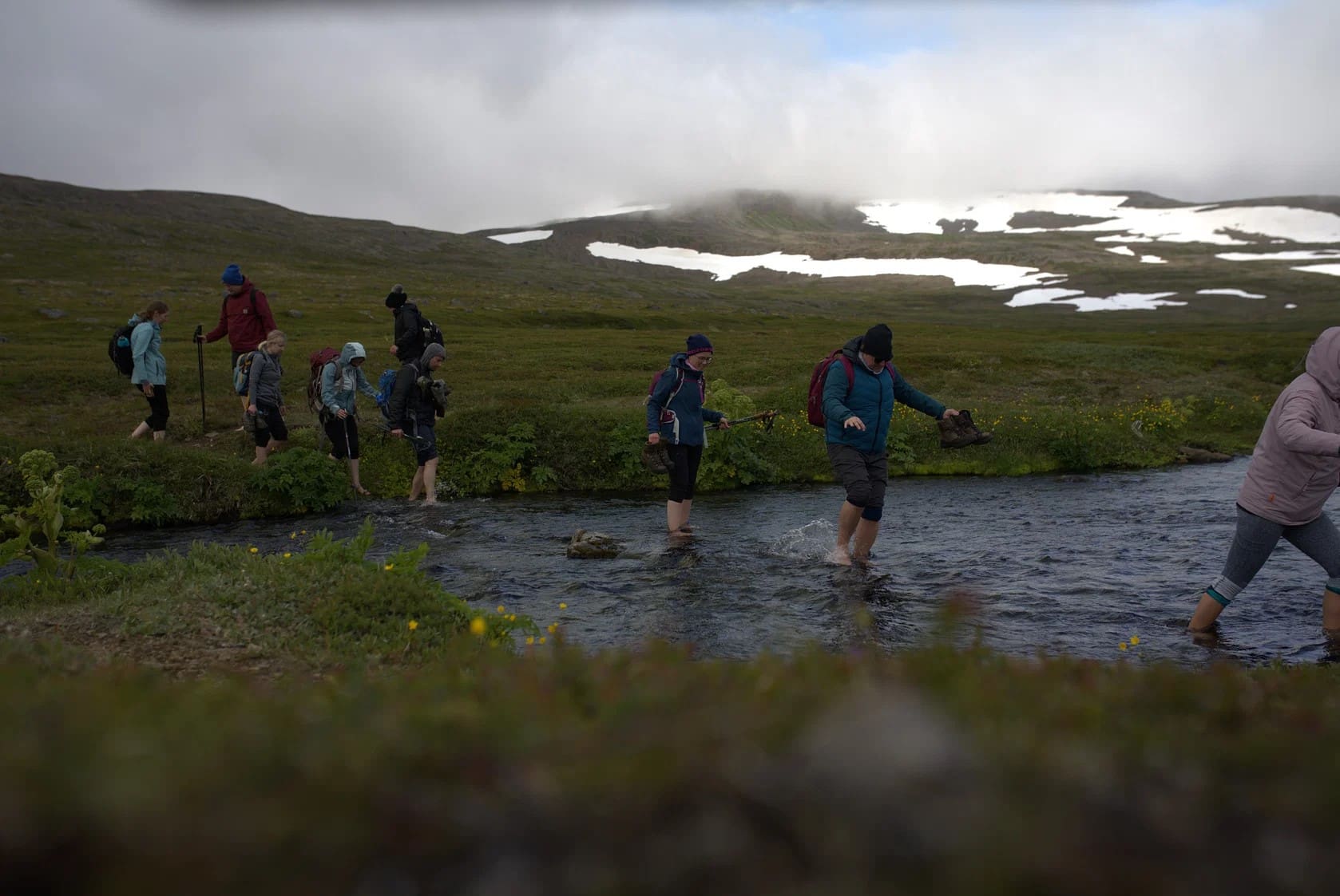
To reach our campsite near Álftavatn lake, we’ll wade across a river—a thrilling yet safe experience. The day concludes with a hearty dinner and a chance to relax, soaking in the tranquil beauty of the lake and its serene surroundings.
Odległość: 24 km (14,9 mil). Czas chodzenia: 8 9 godz. Wspinaczka: 900 m (2952 stóp).
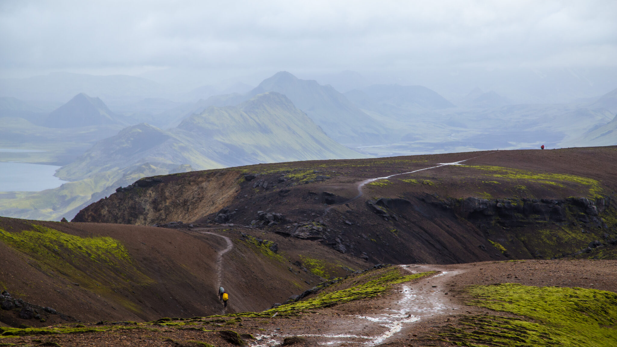
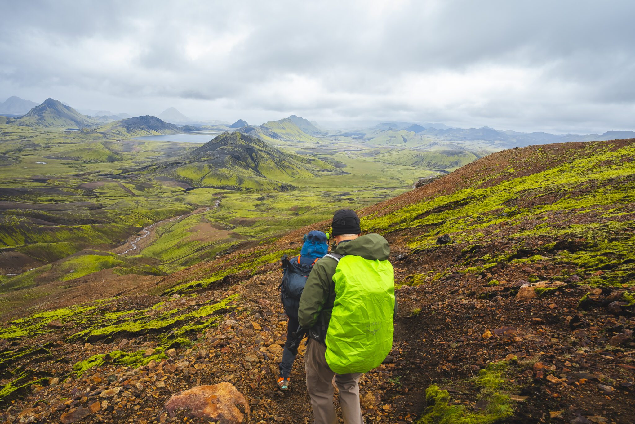
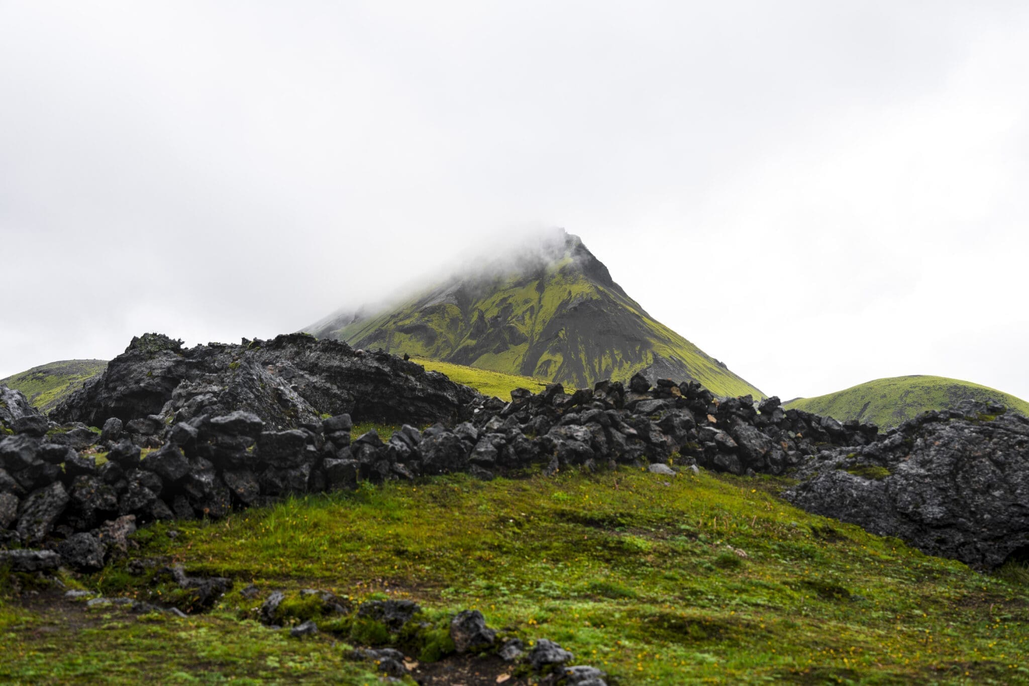
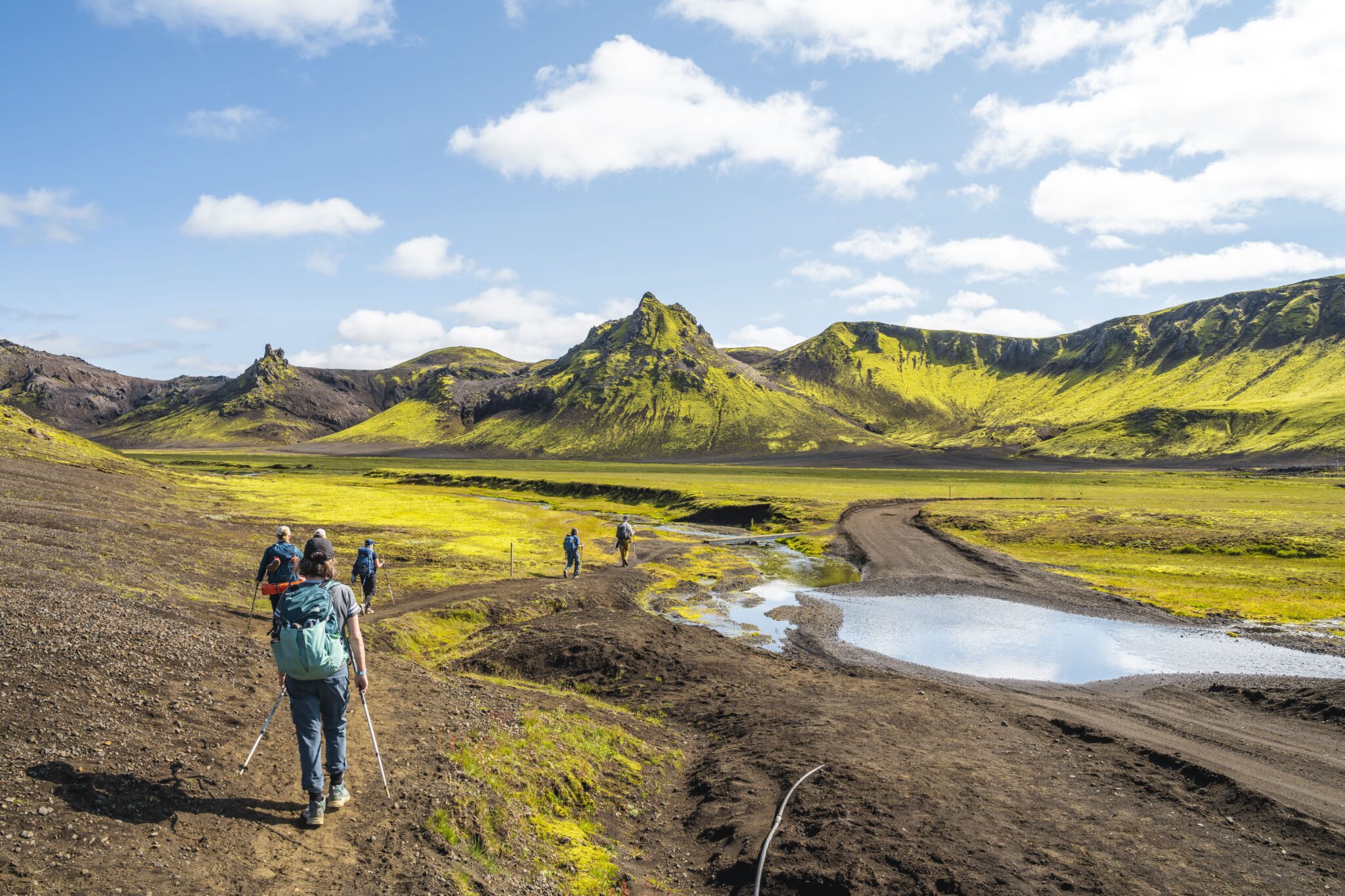
Po obfitym śniadaniu wyruszymy na kolejny ekscytujący dzień trekkingu Podróż zaczyna się od przeprawy przez strumień, teraz znajomy i zabawny element przygody, zanim wyruszymy na rozległą pustynię z czarnym piaskiem, jaką jest Mælifellssandur Po drodze miniemy uderzające wulkany Stórasúla i Hattafell, ich zielone, porośnięte mchem zbocza pięknie wystające na tle ciemnego, skalistego krajobrazu.
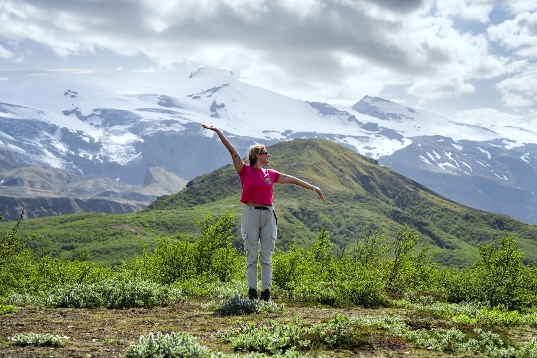
Jeśli pogoda będzie czysta, będziemy mieli niesamowite widoki na lodowce Eyjafjallajökull i Mýrdalsjökull. Te kultowe lodowce wulkaniczne są przesiąknięte historią. Eyjafjallajökull słynnie zakłócił podróż lotniczą w 2010 roku swoją potężną erupcją, a Mýrdalsjökull ukrywa nieprzewidywalny wulkan Katla pod lodem.
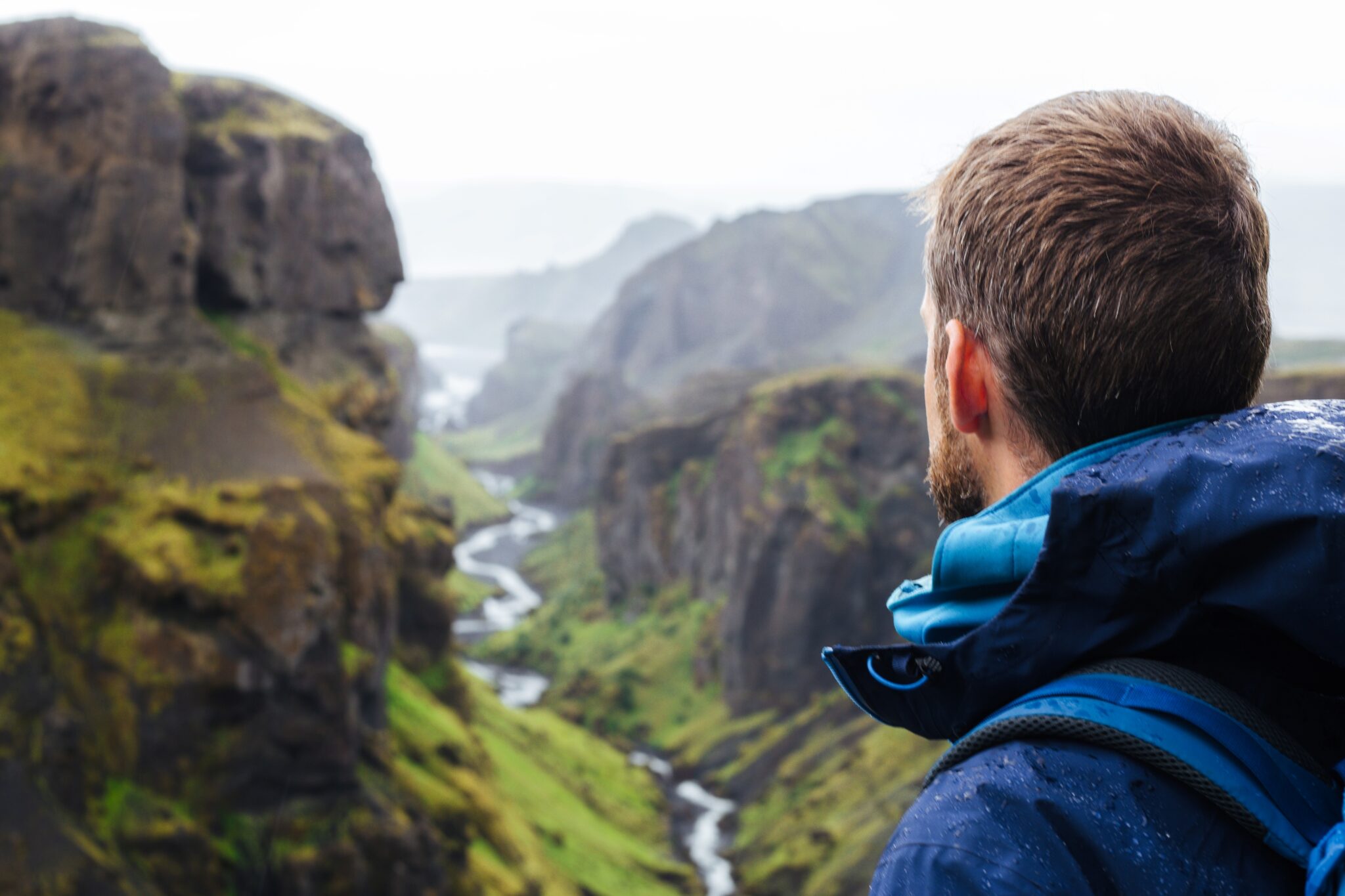
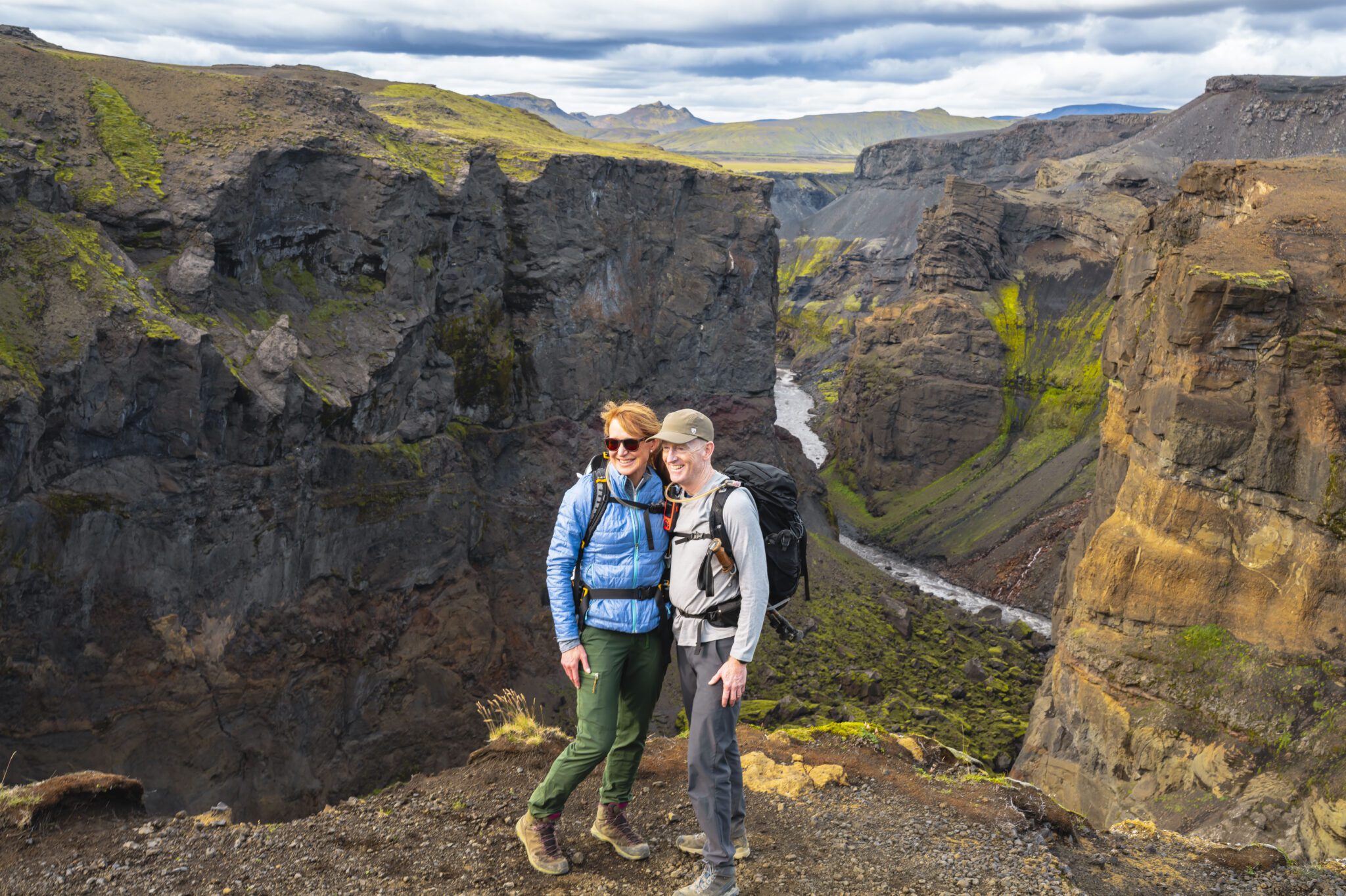
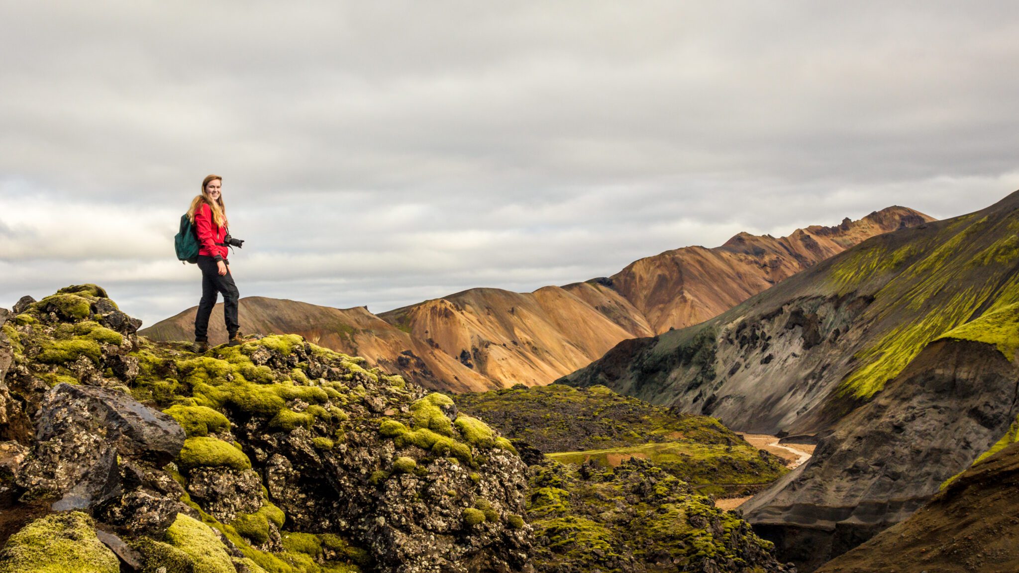
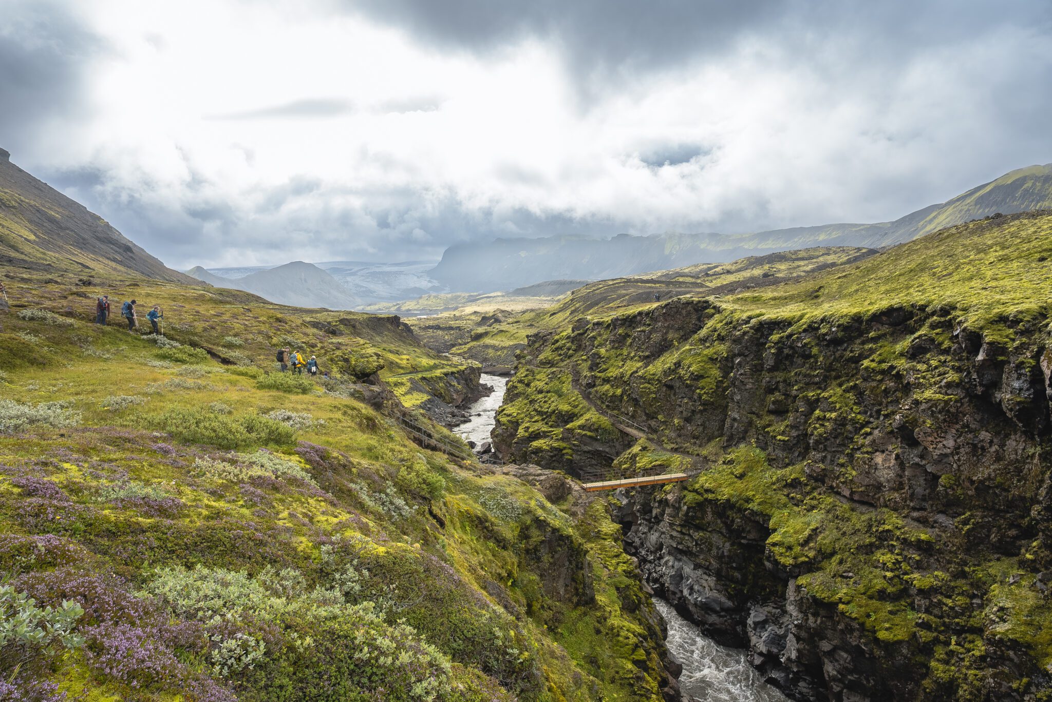
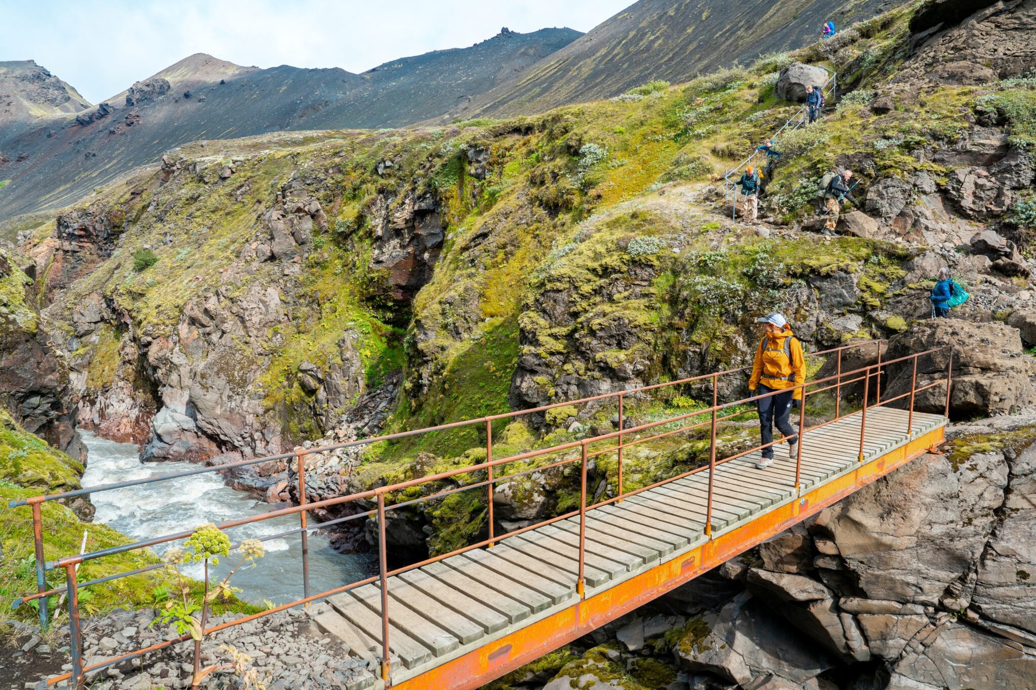
As we continue, the dramatic Markarfljótsgljúfur canyon comes into view. This stunning 200 (656 ft) deep gorge, carved by a glacial river, is a real highlight of the day. We’ll eventually reach Botnar, a green oasis nestled in the middle of the black desert, where we’ll spend the night. After a delicious dinner, you can relax and enjoy the tranquil scenery in the soft evening light.
Odległość: 15 km (9,5 mil). Czas chodzenia: 6 7 godz. Zejście: 40 m (130 ft).
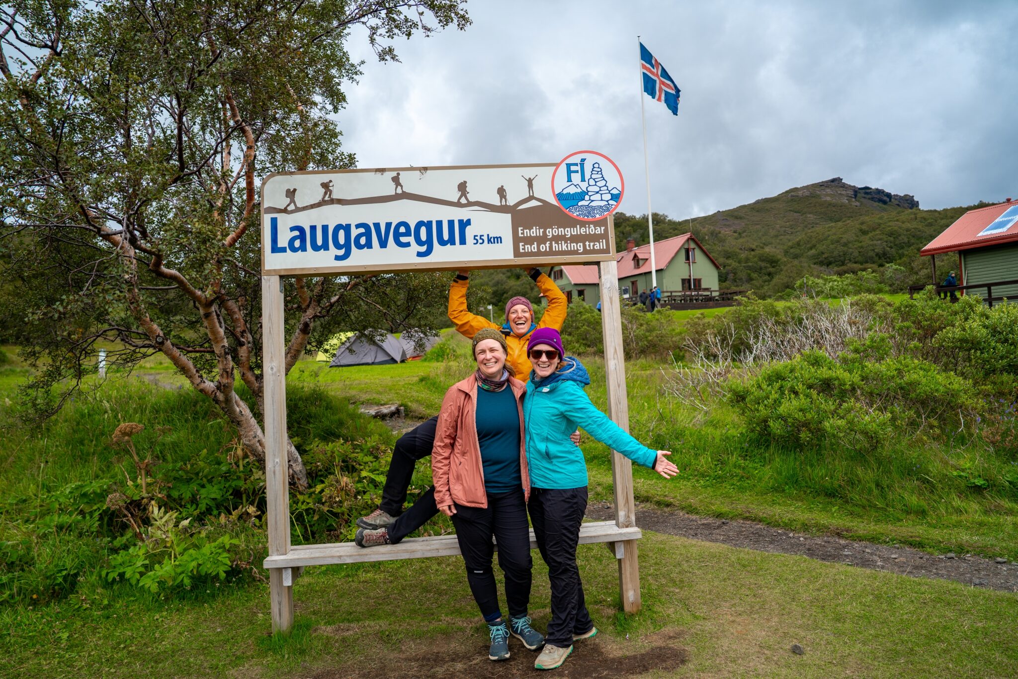
On day 4, we set out on the final stretch of the Laugavegur Trail, leaving the dramatic landscapes of Emstrur behind as we make our way toward Þórsmörk. The trail leads us through the scenic Almenningar gorge, with the striking silhouette of Mount Einhyrningur (Unicorn Mountain) rising against the sky. Along the way, we’re treated to stunning glacier views of Eyjafjallajökull and Mýrdalsjökull.
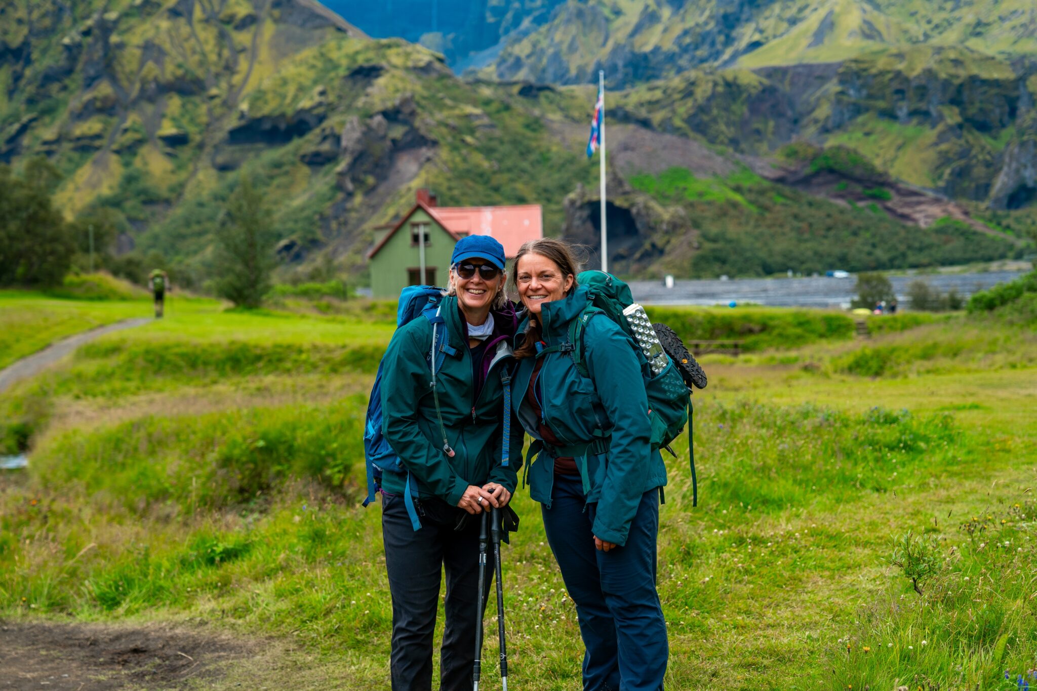
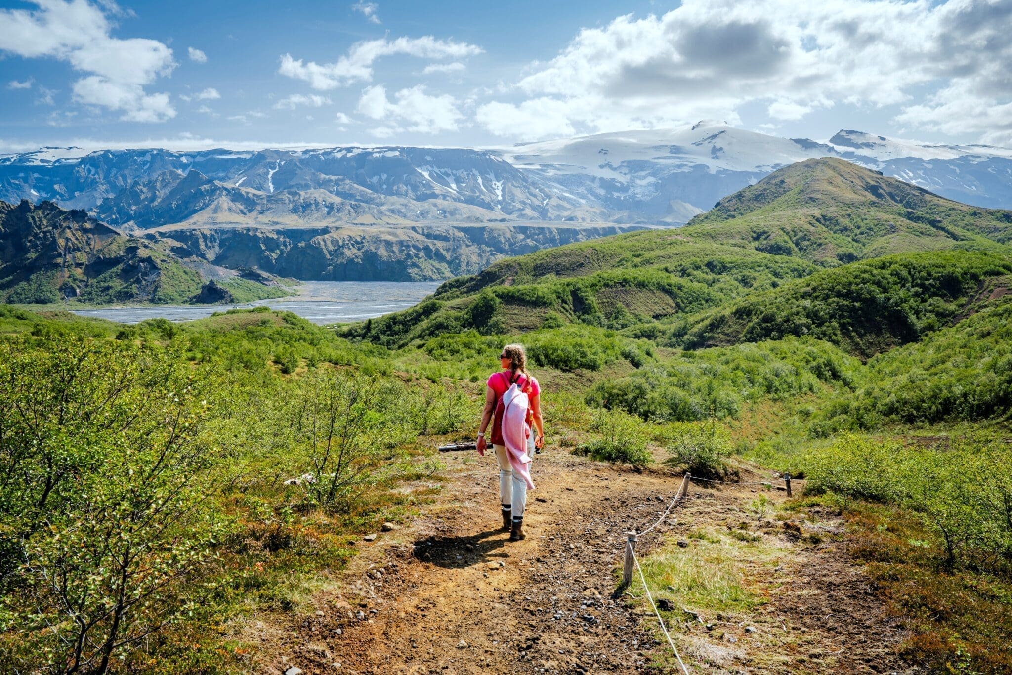
Gdy zbliżamy się do Þórsmörk, krajobraz zaczyna się zmieniać Rzadkie drzewa zaczynają się pojawiać, stopniowo ustępując miejsca gęstym lasom brzozowym, które czynią tę dolinę tak wyjątkową Powietrze staje się świeższe, wypełnione odgłosami ptaków i szeleszczącymi liśćmi Wreszcie docieramy do bujnej oazy Þórsmörk, otoczonej wysokimi górami i lodowcami, idealne miejsce, aby uczcić niesamowite osiągnięcie ukończenia słynnego na całym świecie Szlaku Laugavegur.
Odległość: 15 km (9,5 mil). Czas chodzenia: 6 7 godz. Zejście: 300 m (985 stóp).
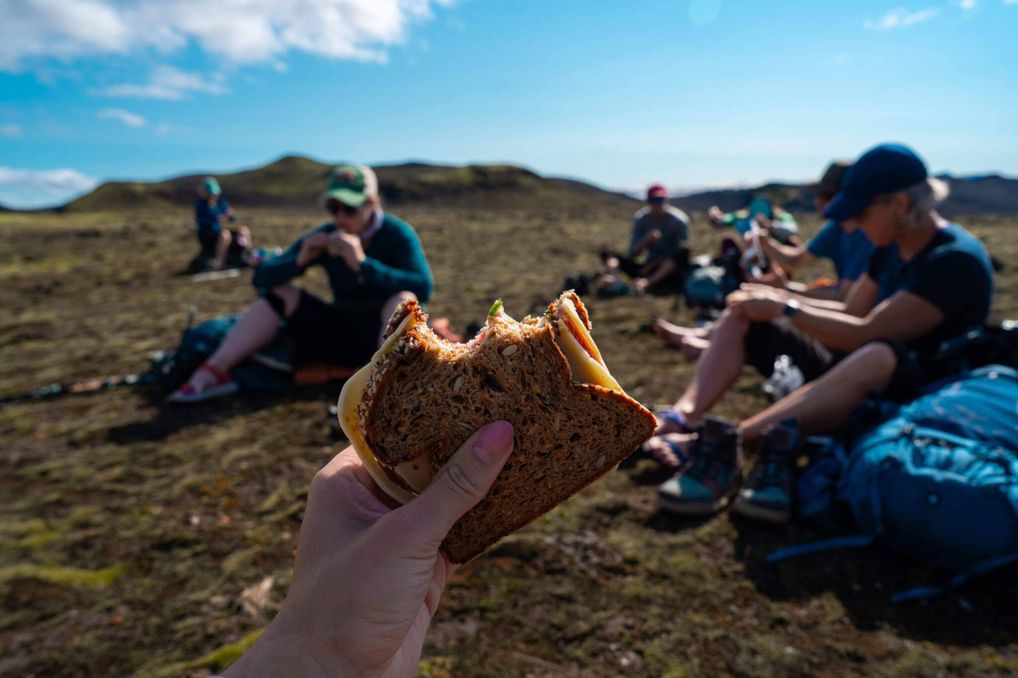
Meals
210.990 ISK
49.360 ISK
39.490 ISK
39.490 ISK
58.740 ISK
58.728 ISK
65.240 ISK
290.000 ISK
309.320 ISK

328.028 ISK
Wskazówki dotyczące podróży, nowe przewodniki i heads-up, gdy prognoza zorzy polarnej wygląda dobrze Brak spamu.