Private North Iceland Waterfalls & Laufás Heritage Tour
210.990 ISK
5 Stunden und 30 Minuten

Mäßig
249.990 ISK
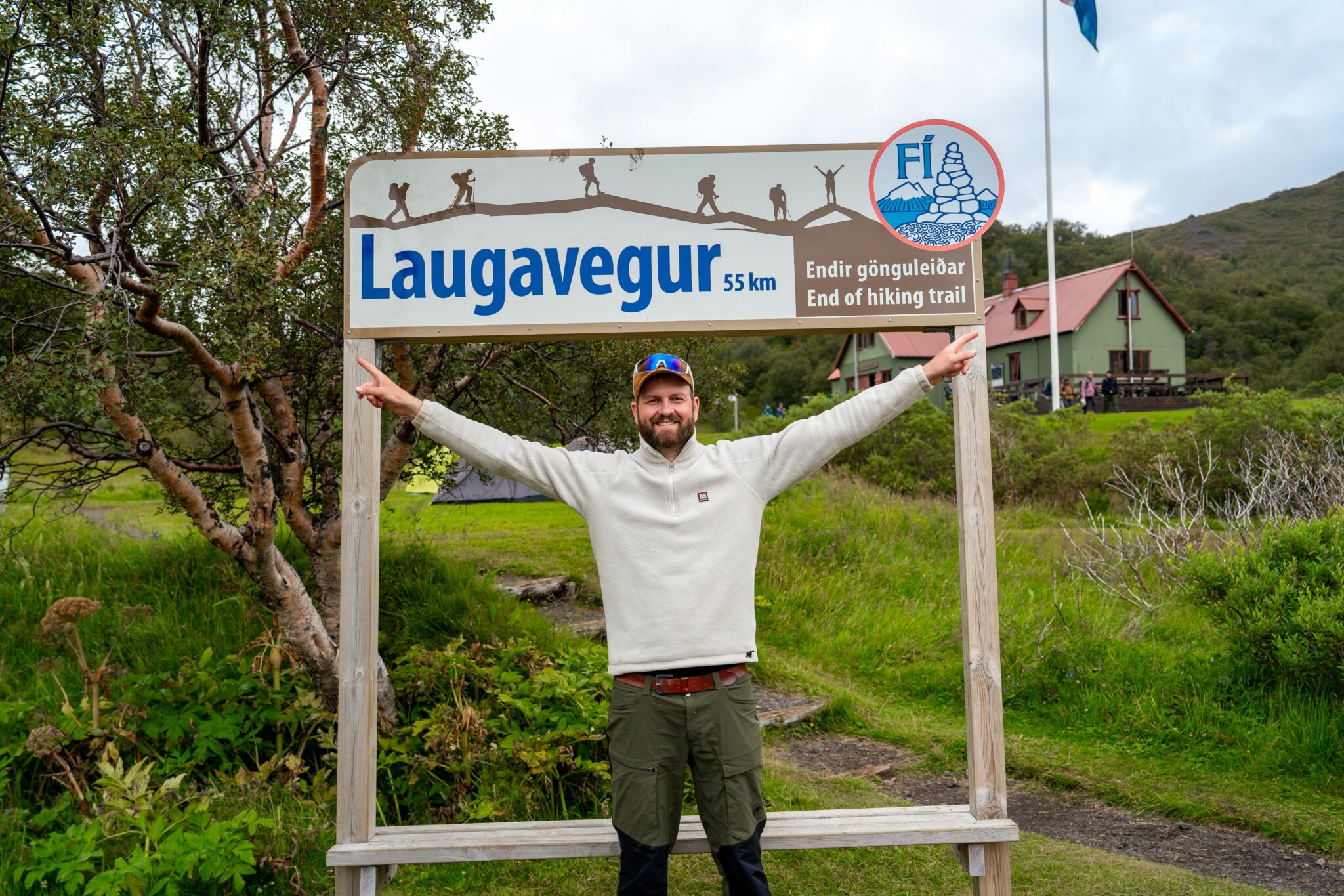
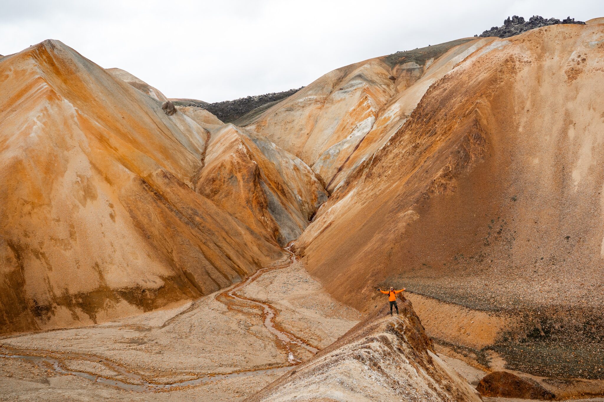
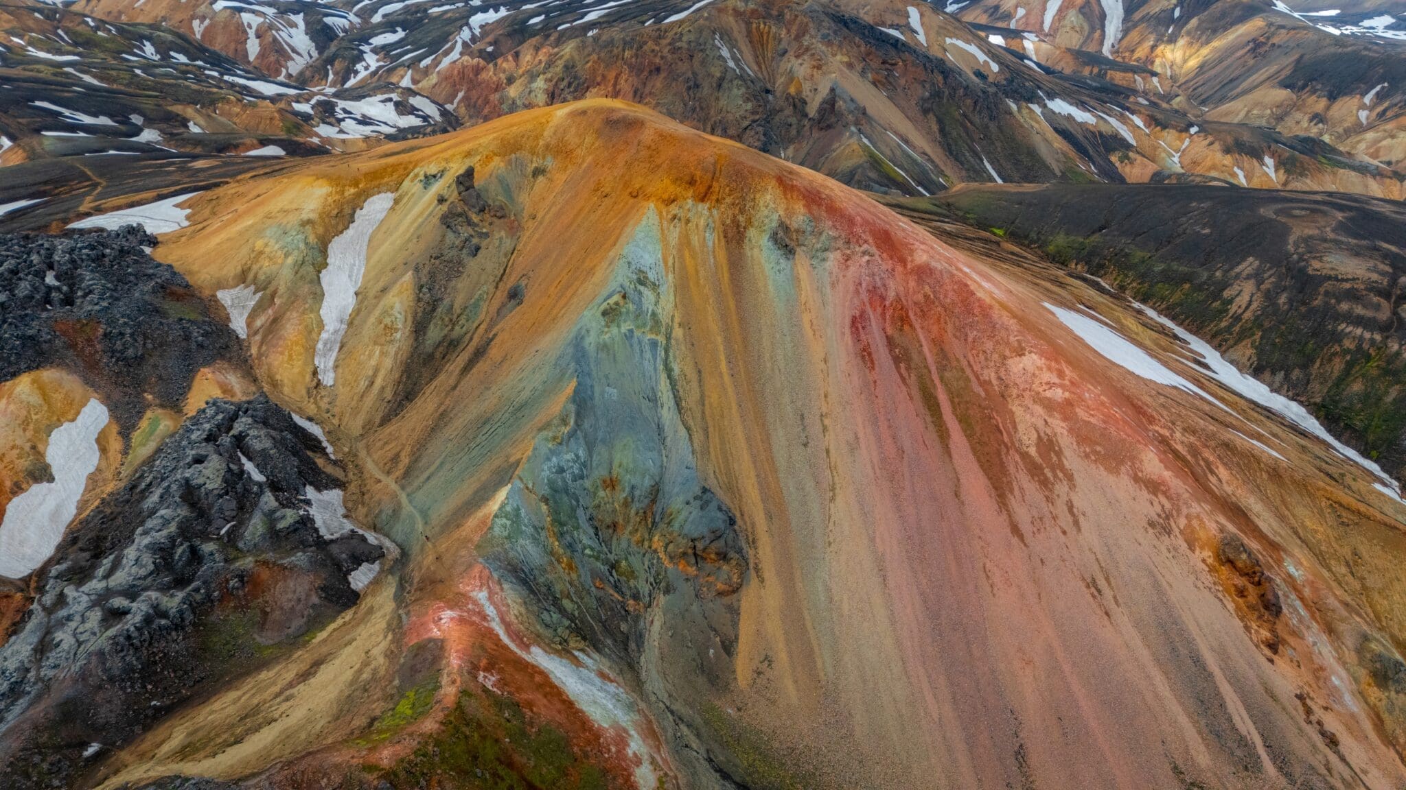
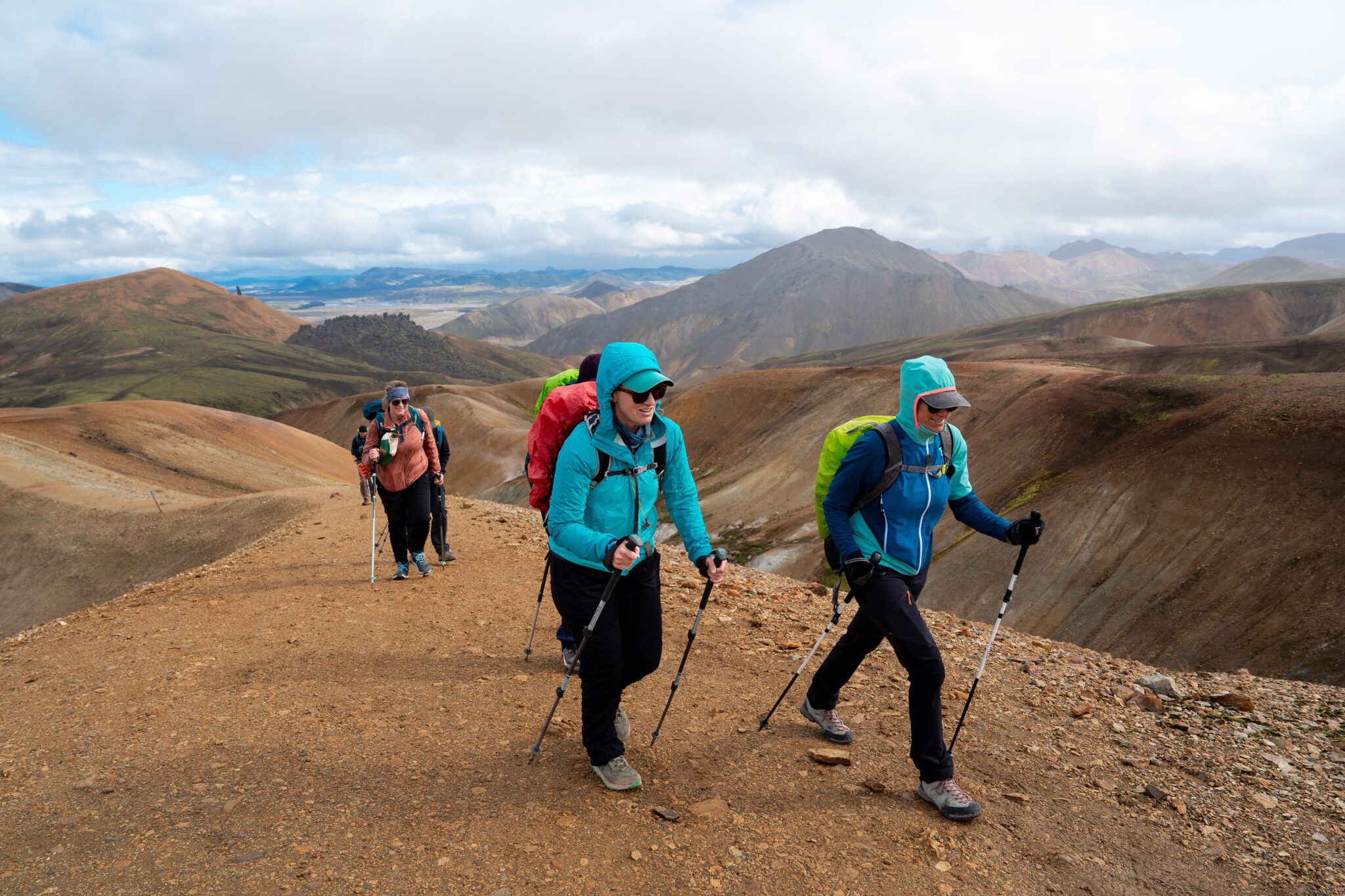
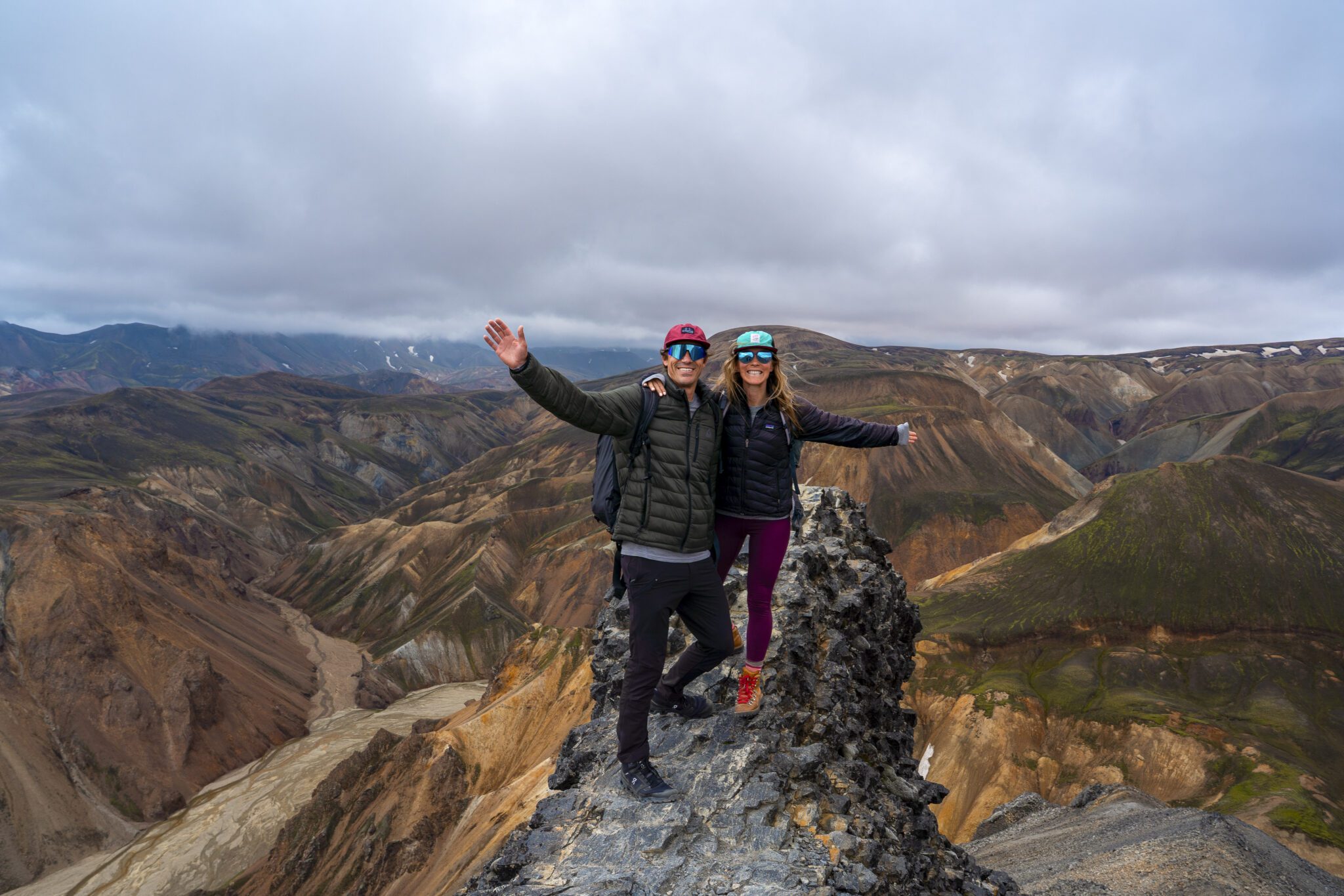
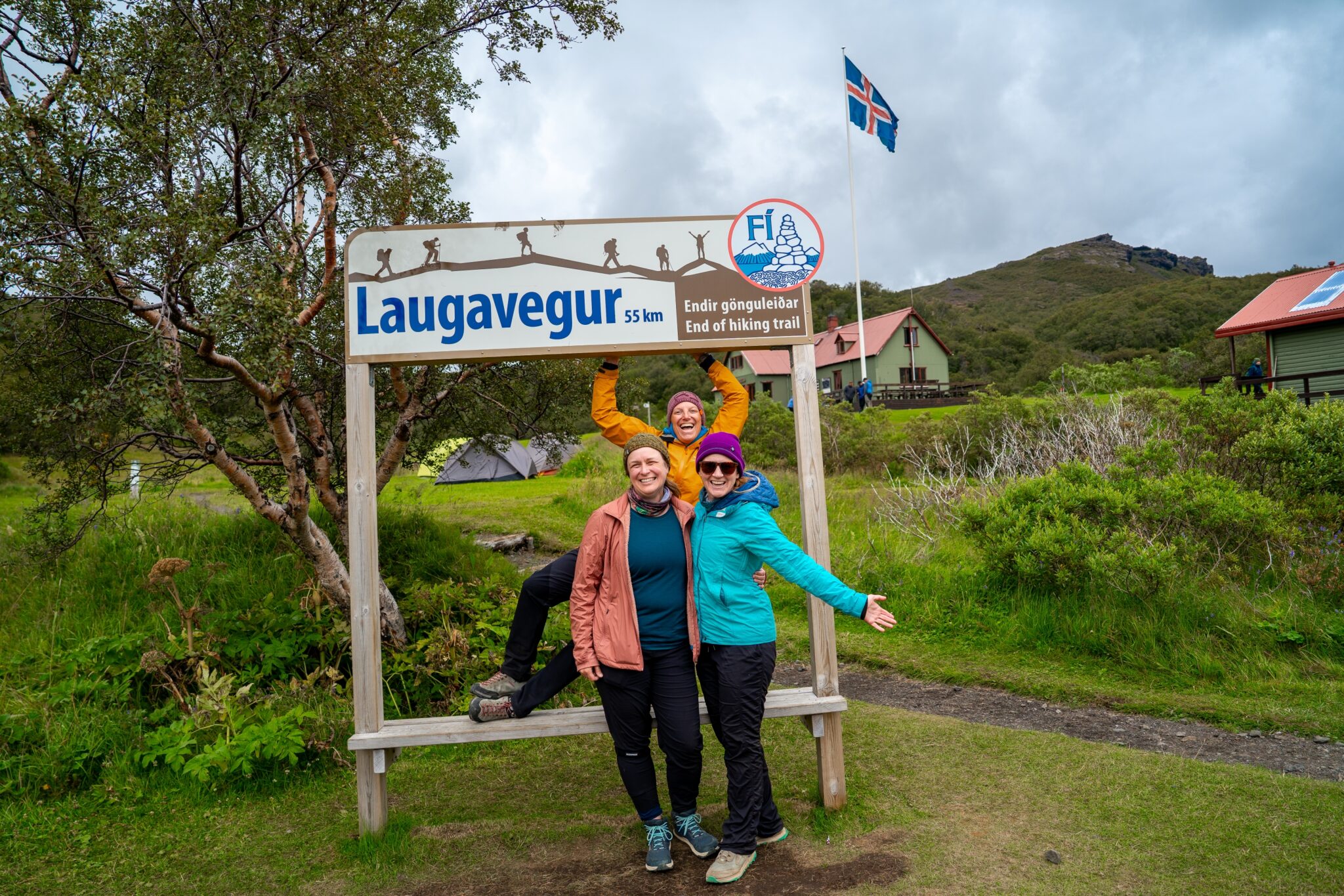
Over four incredible days, complete the iconic 55-km (34-mile) Laugavegur Trail, trekking through colorful rhyolite mountains, black sand deserts, and lush valleys. Camp in tents in Iceland’s pristine wilderness, with your luggage transported for a hassle-free adventure. You start in the geothermal wonderland of Landmannalaugar and end in the lush, glacier‑carved valley of Þórsmörk. Guided by experts, this unforgettable journey combines raw natural beauty, breathtaking contrasts, and the thrill of exploring one of the world’s most celebrated trails!
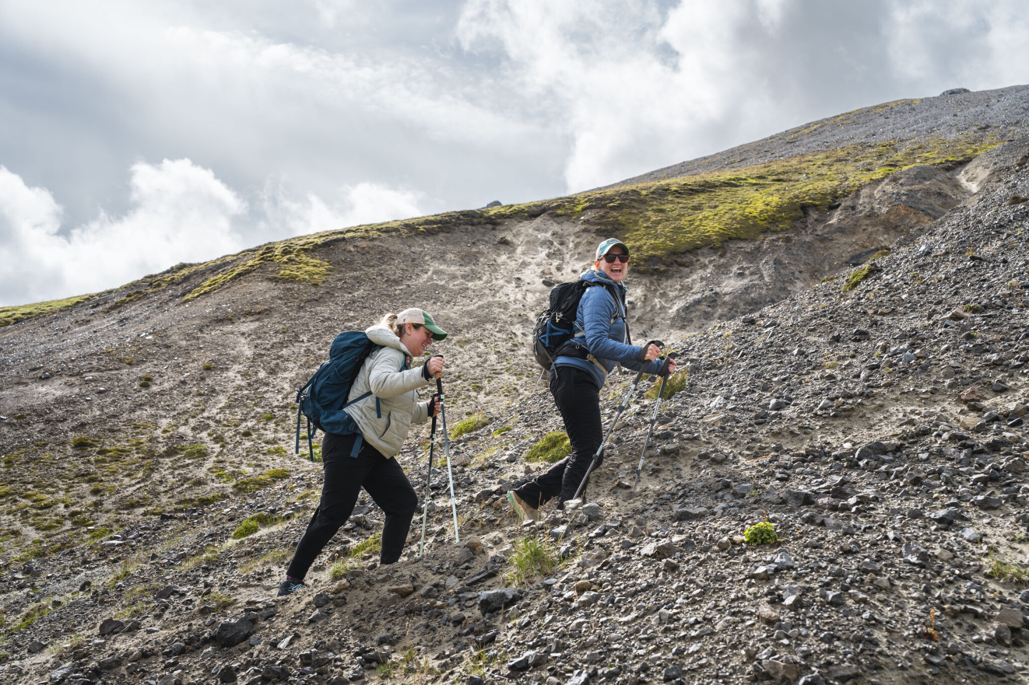
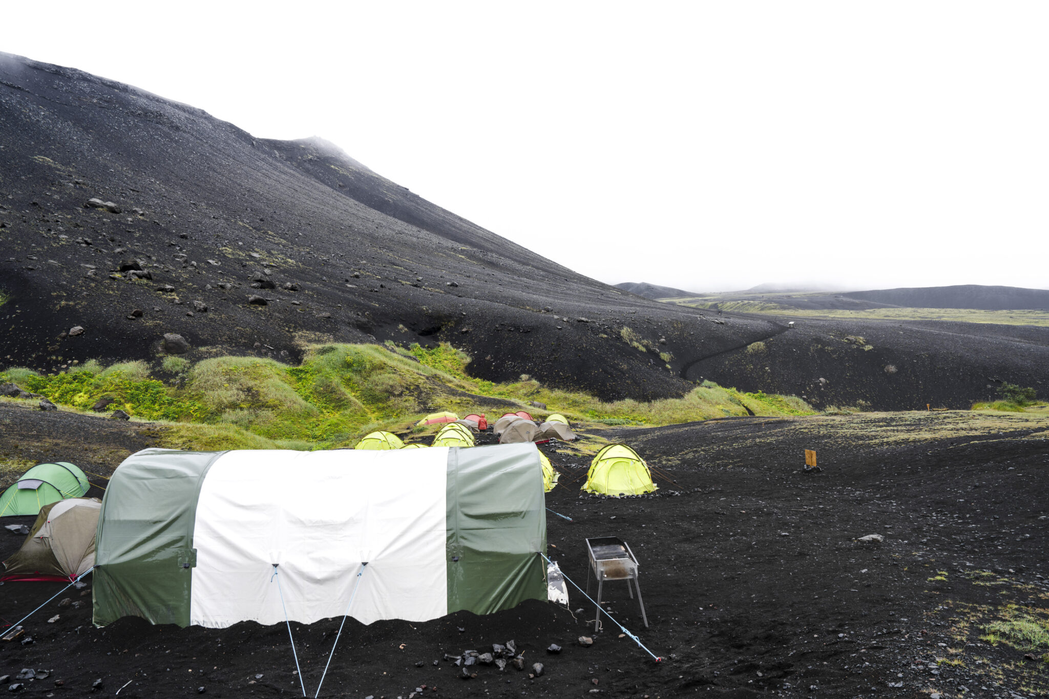
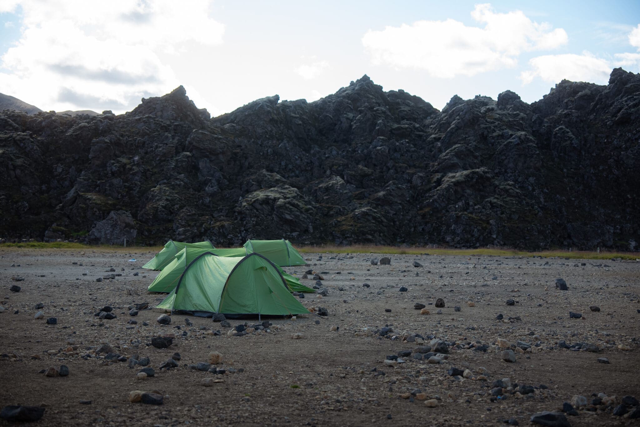
The Laugavegur Trail is well‑maintained and perfectly suited for adventurous hikers. Your expert guide will ensure a safe and enjoyable journey – sharing local insights, pointing out hidden gems, and bringing Iceland’s dramatic geological history to life. You’ll camp each night in designated Highland campsites.
Highlights
For full details on the daily itinerary and camping arrangements click Hier hier.
Please note: Arctic Adventures reserves the right to alter itineraries and/or timetables should it be necessary due to adverse weather and or other related conditions.
Weitere Einzelheiten zum Verpacken finden Sie in unserem Laugavegur Treck Informationspaket.
Your adventure begins with an early morning departure from Reykjavík, followed by a scenic 3–4 hour drive to Landmannalaugar. Along the way, you’ll take in sweeping views of the South Coast before entering the rugged Highlands, passing by the infamous Hekla volcano.
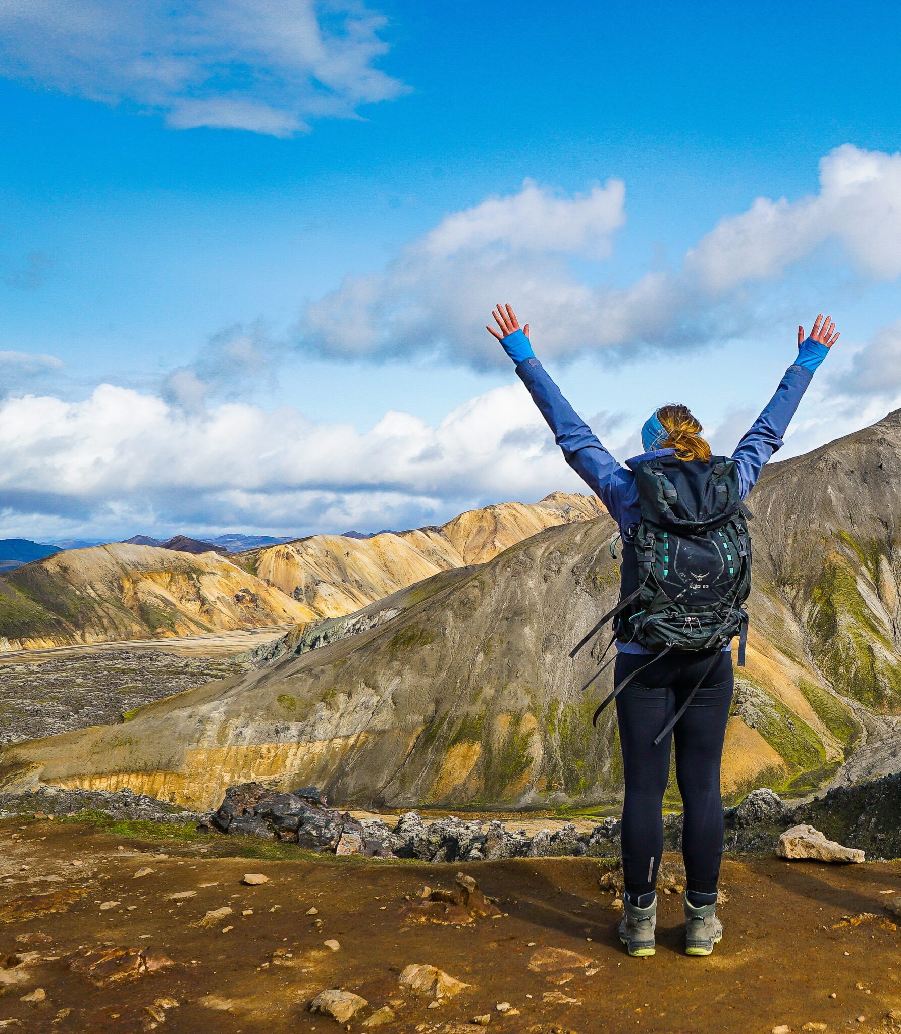
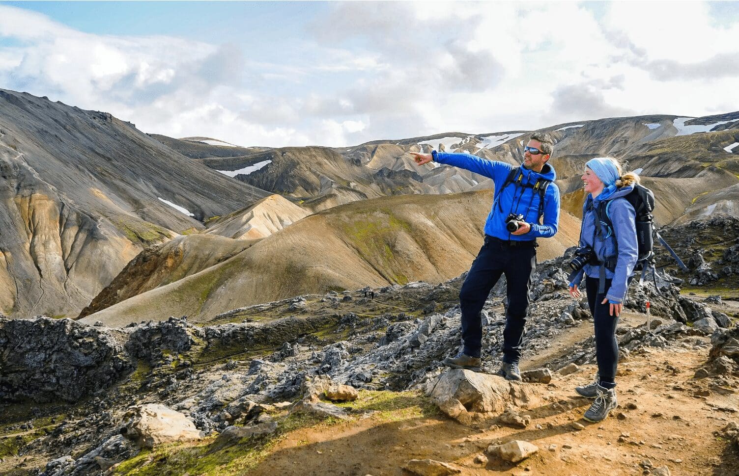
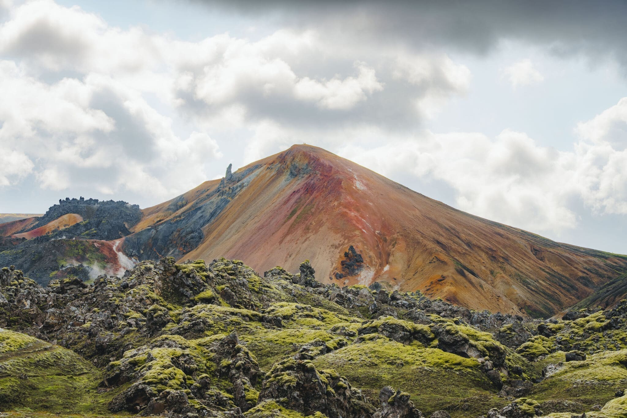
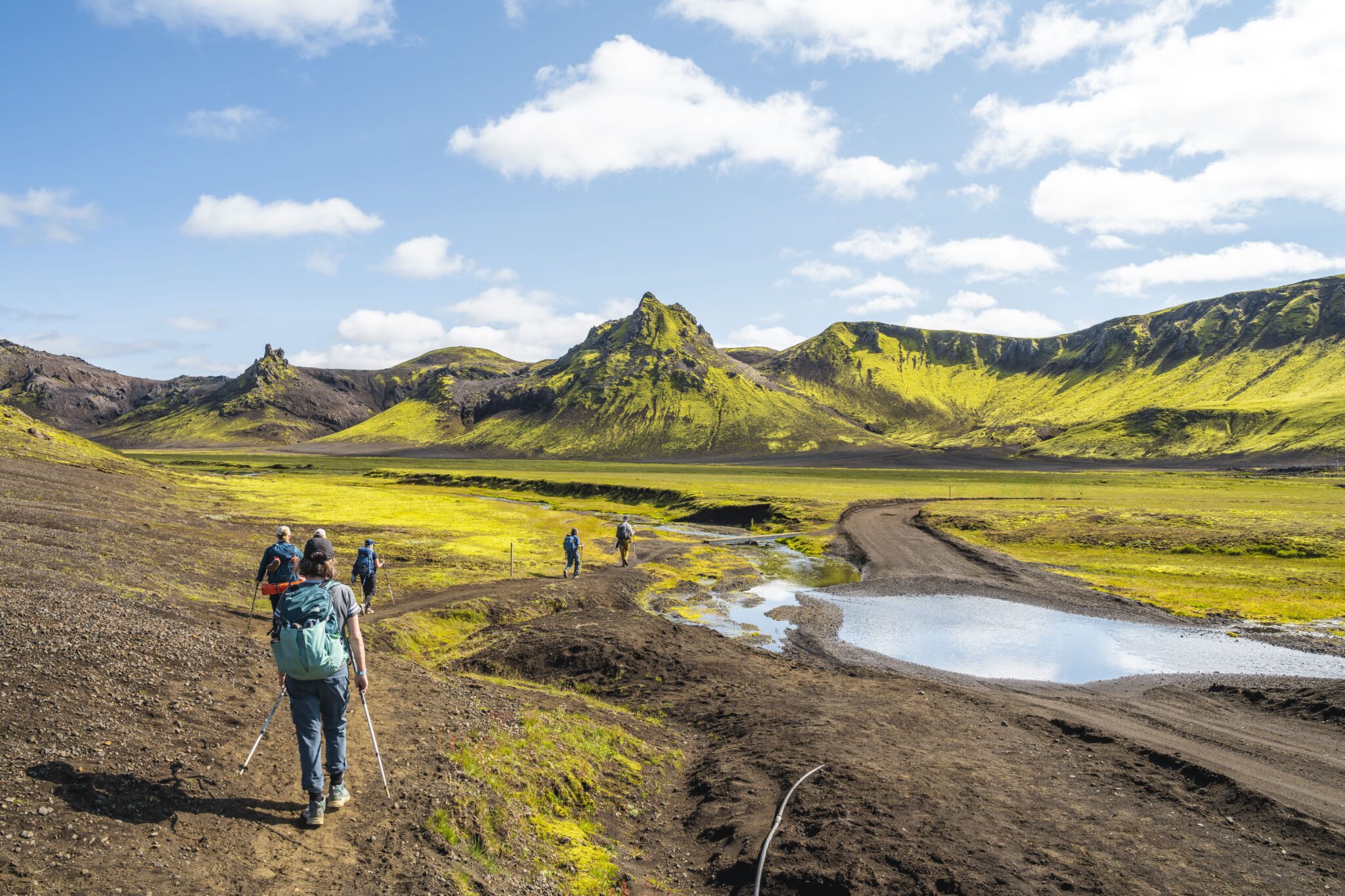
The Laugavegur Trail starts in the vibrant geothermal region of Landmannalaugar. Before jumping into the full trek, you’ll spend the first day on a warm-up hike to get your legs moving and ready for the days ahead. This scenic loop winds through some of the area’s most unforgettable terrain, including the surreal Laugahraun lava field, the colorful Grænagil gorge, and the impressive Bláhnjúkur volcano. It’s the ideal way to settle into the rhythm of the trail while taking in the raw beauty of the landscape.
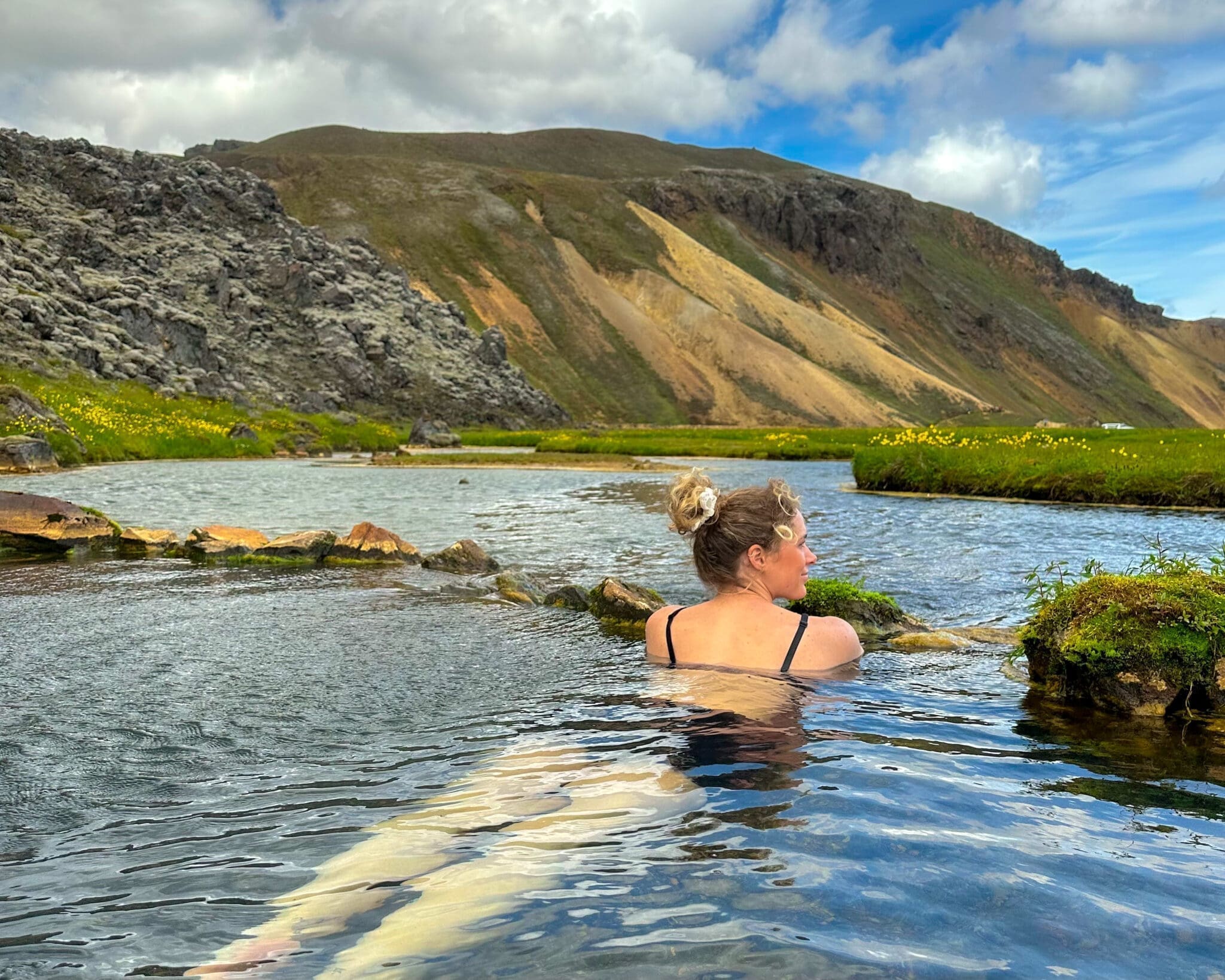
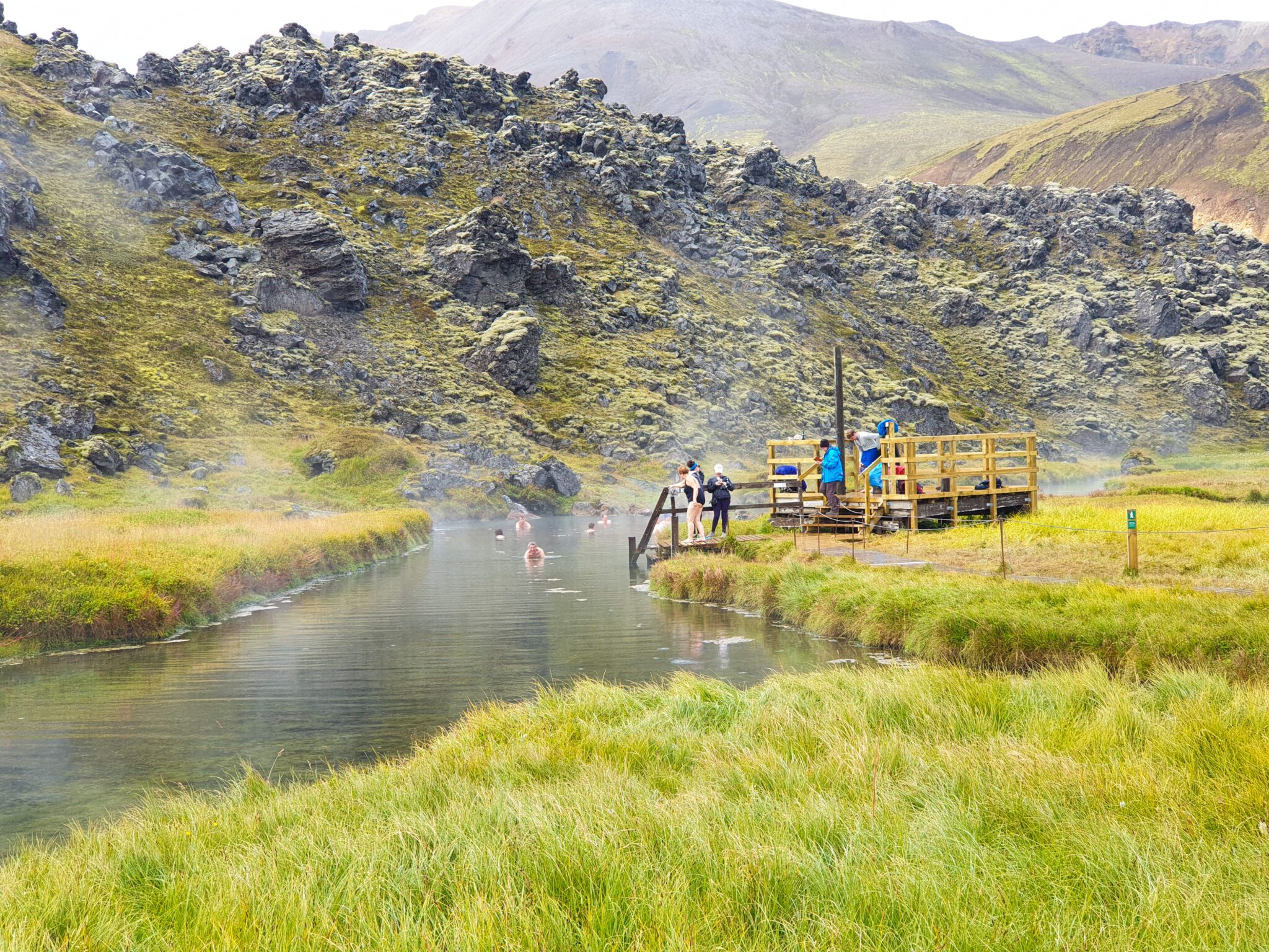
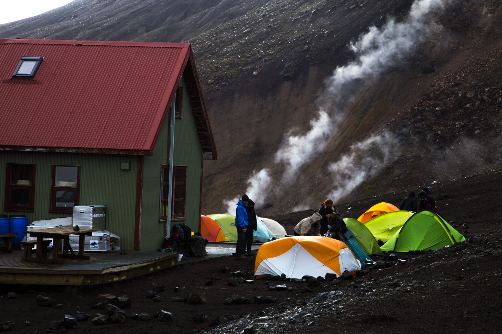
Unsere erste Nacht verbringen wir im Landmannalaugar, am Abend genießen wir ein leckeres Abendessen, lernen uns besser kennen und lassen die Seele in der einzigen natürlichen geothermischen heißen Quelle des Trails baumeln, ein unvergessliches Erlebnis umgeben von Islands atemberaubender Hochlandschönheit.
Entfernung: ~5.7 km (3.5 mi). Gehzeit: 2.5-3.5 hrs. Aufstieg: 320 m (1,050 ft)
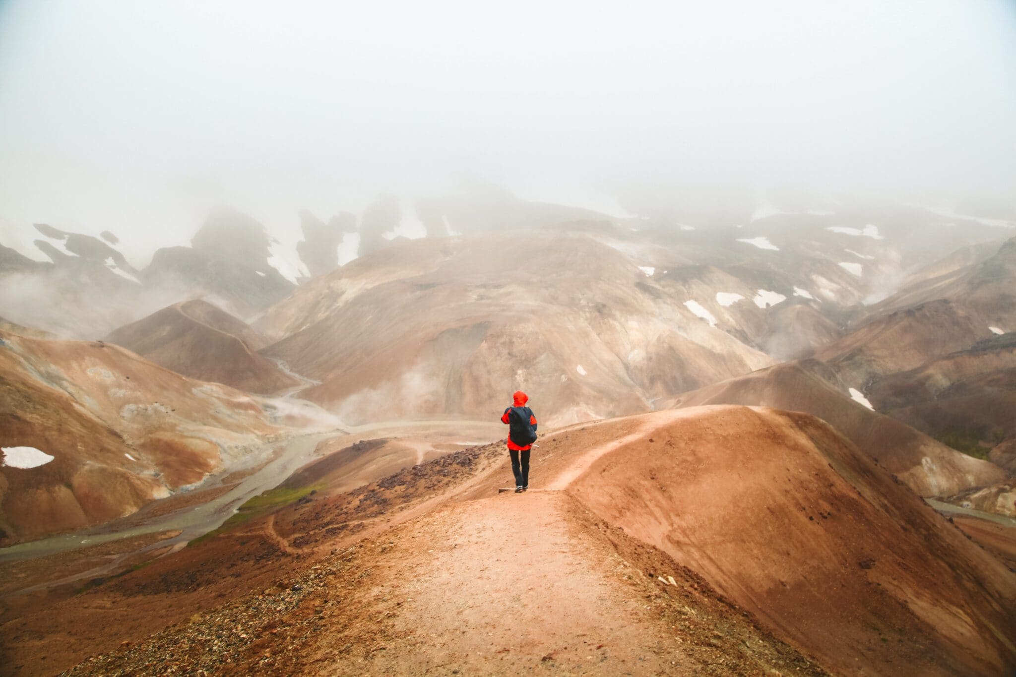
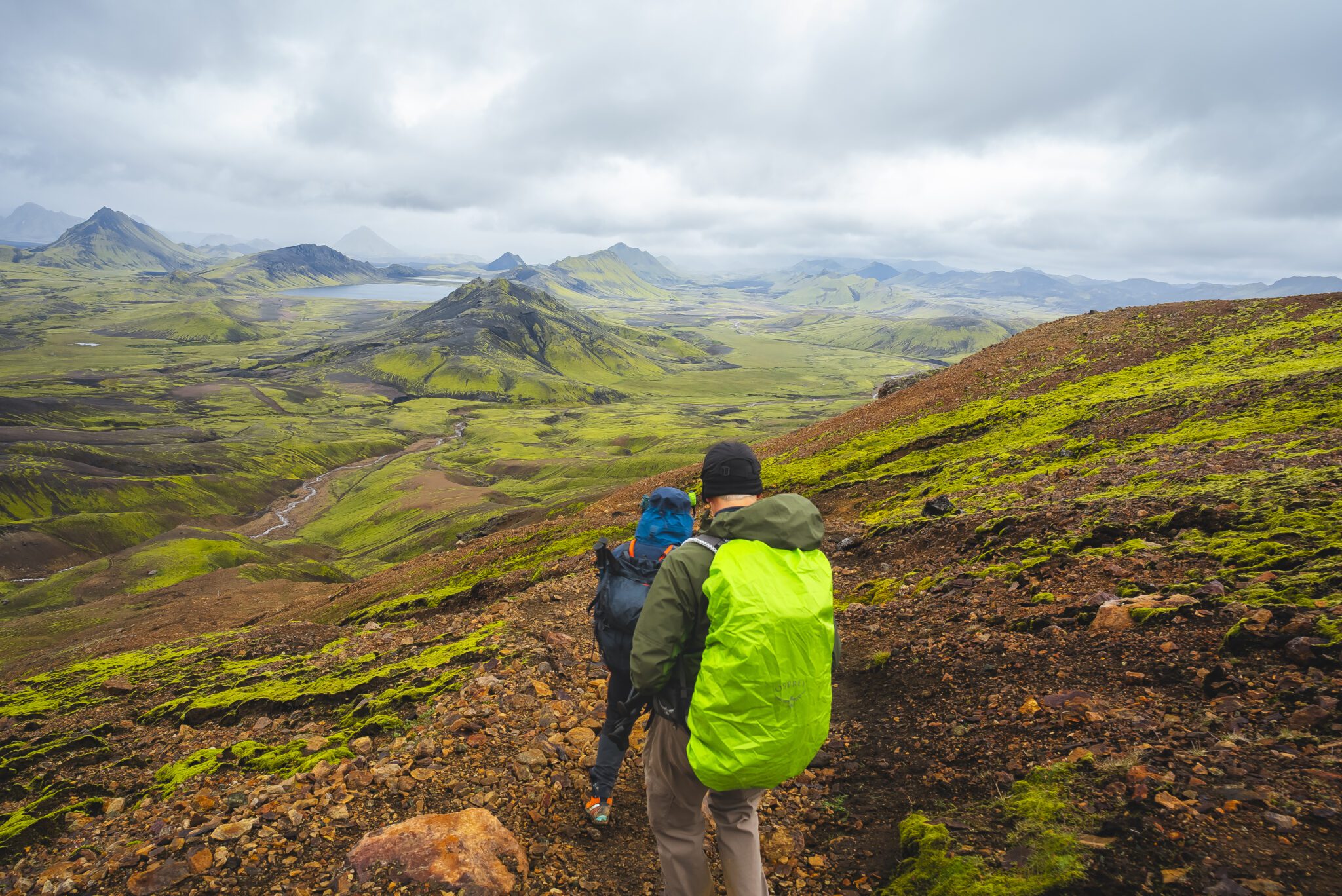
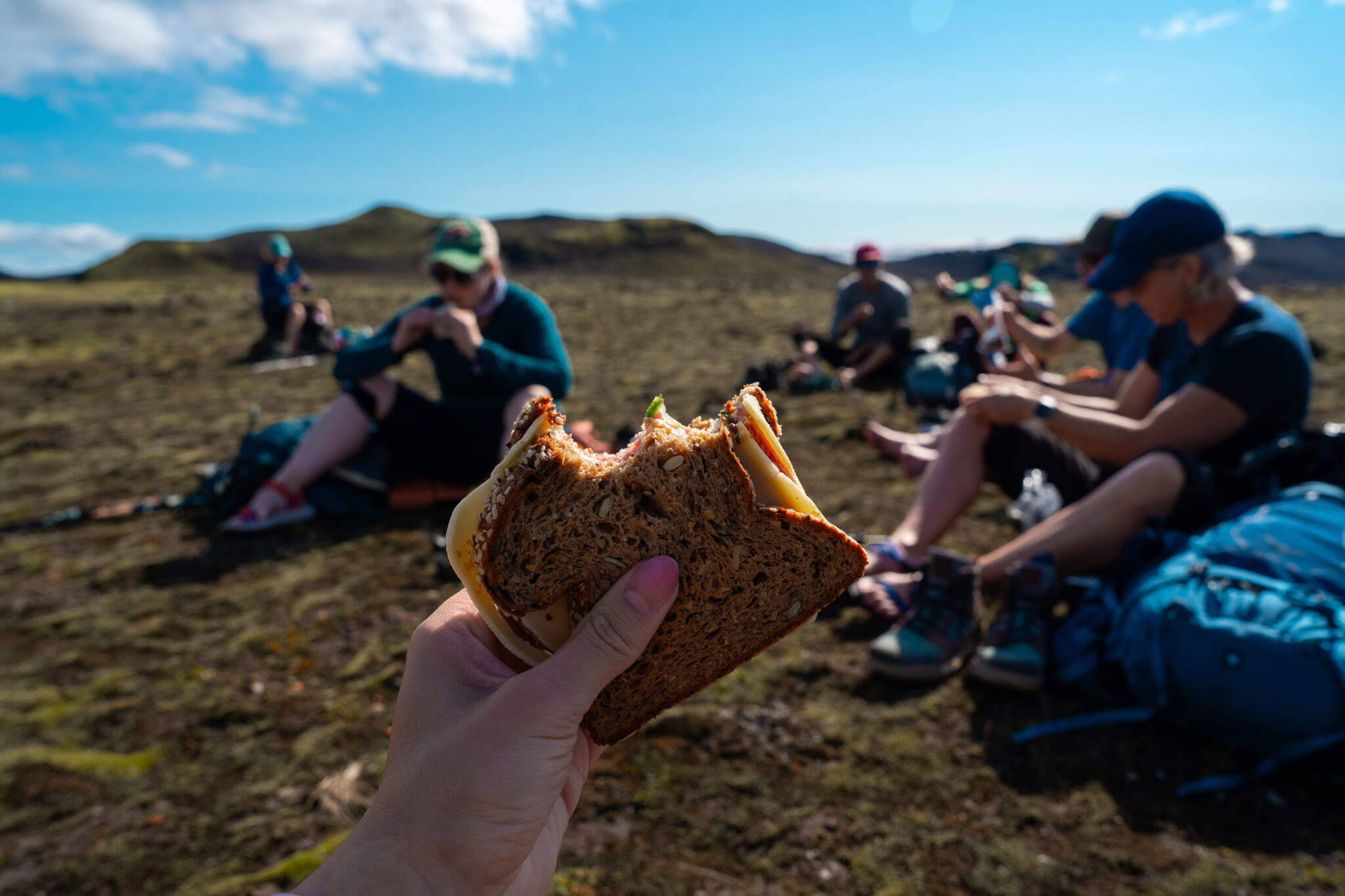
We’ll kick off the day by crossing the Laugahraun lava field, surrounded by rugged terrain and lava formations. Along the way, you’ll pass the vividly colored slopes of Brennisteinsalda, then continue toward the steaming rhyolite mountains of Reykjafjöll. The path climbs through narrow gorges, winds past the hot springs of Stórihver, and follows bold yellow ridgelines. The scenery soon shifts dramatically as you enter the dark, glistening expanse of the Hrafntinnusker obsidian desert. Here, we’ll take a well-earned break and enjoy lunch in this striking and remote landscape.
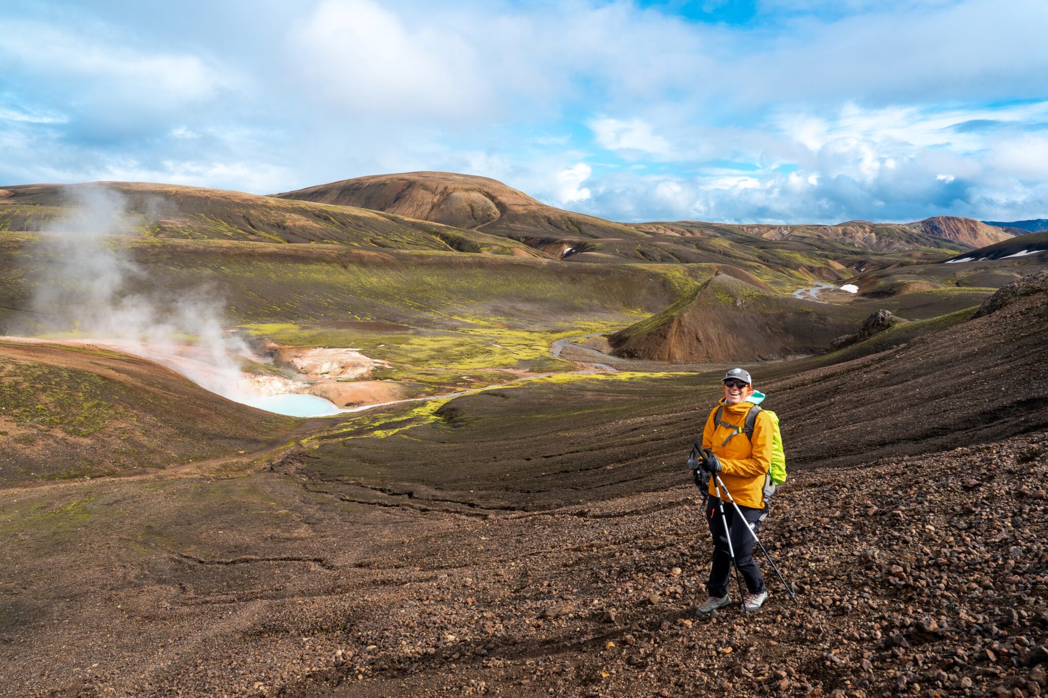
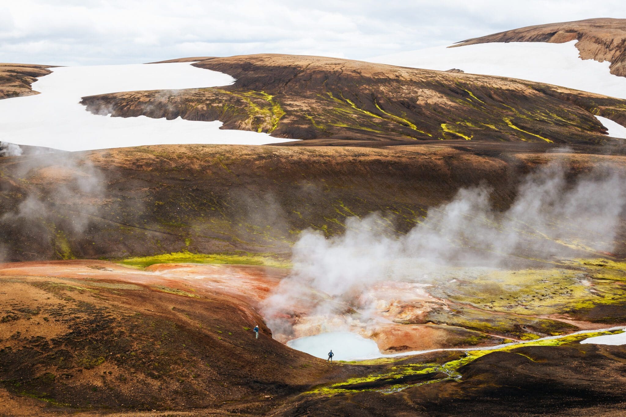
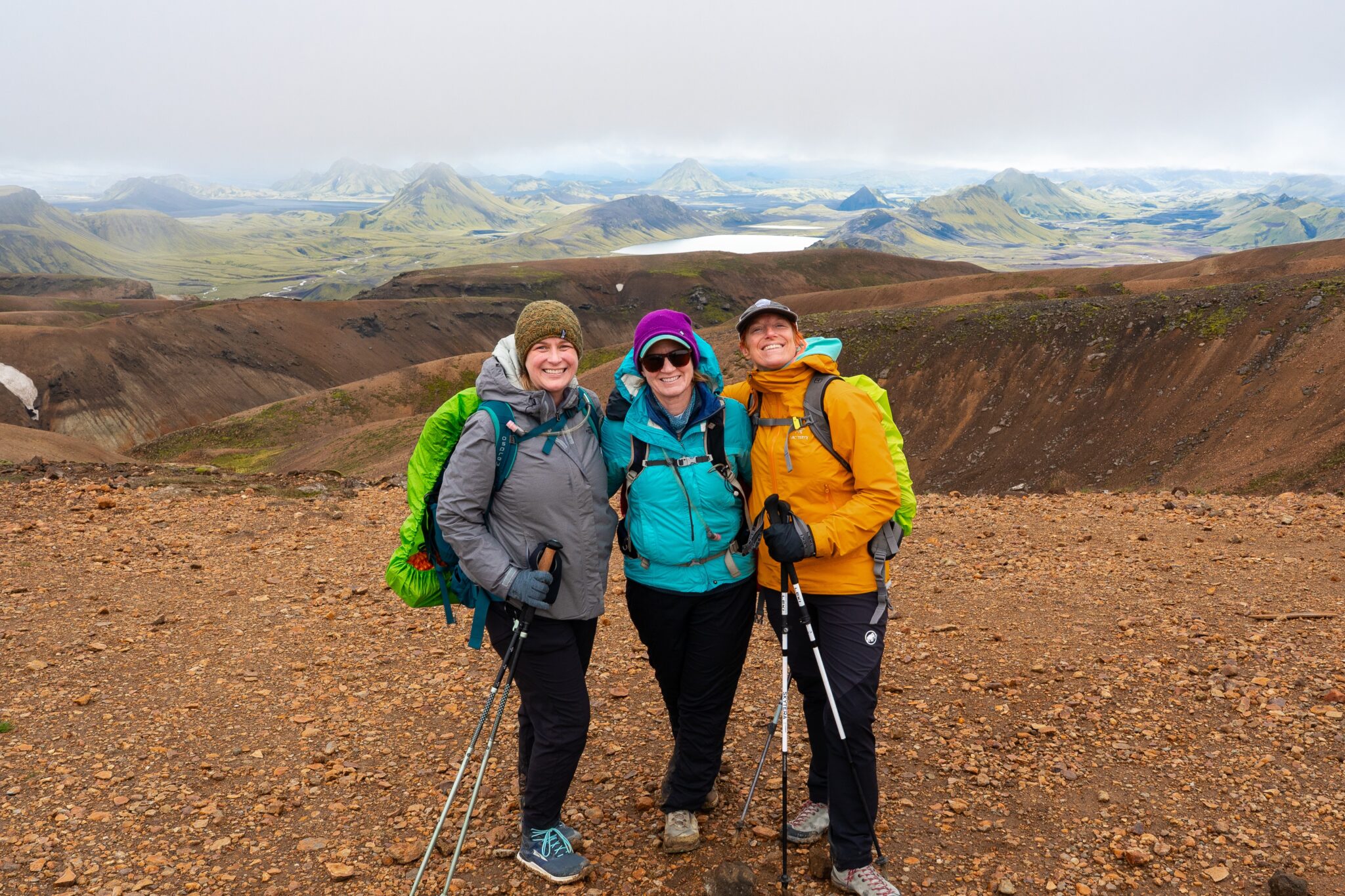
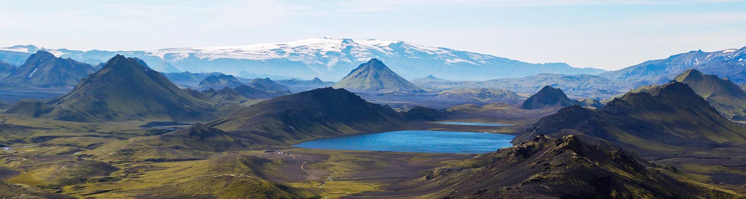
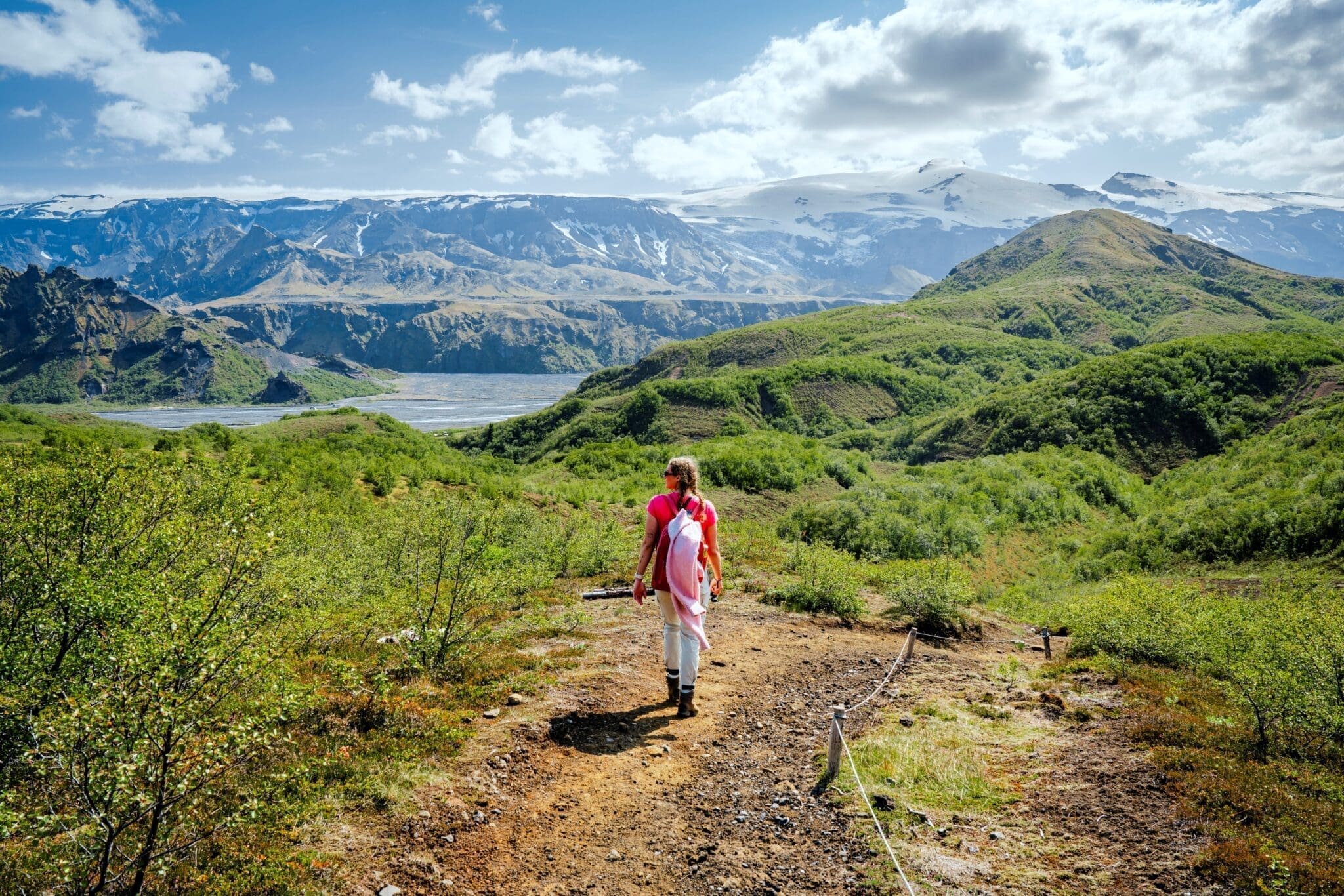
Von Hrafntinnusker steigen wir in die Schluchten von Jökulturur hinab, einem geothermischen Wunderland voller dampfender heißer Quellen und sprudelnder Schlammbecken. Im Laufe der Zeit hat die geothermische Aktivität diese Schluchten in lebhafte Gelb- und Rottöne gemalt, die einen wunderschönen Kontrast zu den blassen, sandfarbenen Gipfeln um sie herum bilden. Auf der Spitze von Jökulturgur werden wir atemberaubende Ausblicke auf die Region Fjallabak genießen und, wenn das Wetter es zulässt, Einblicke in die Gletscher Mauerdalsjökull, Eyjafjallajökull und Tindfallajökull erhaschen.
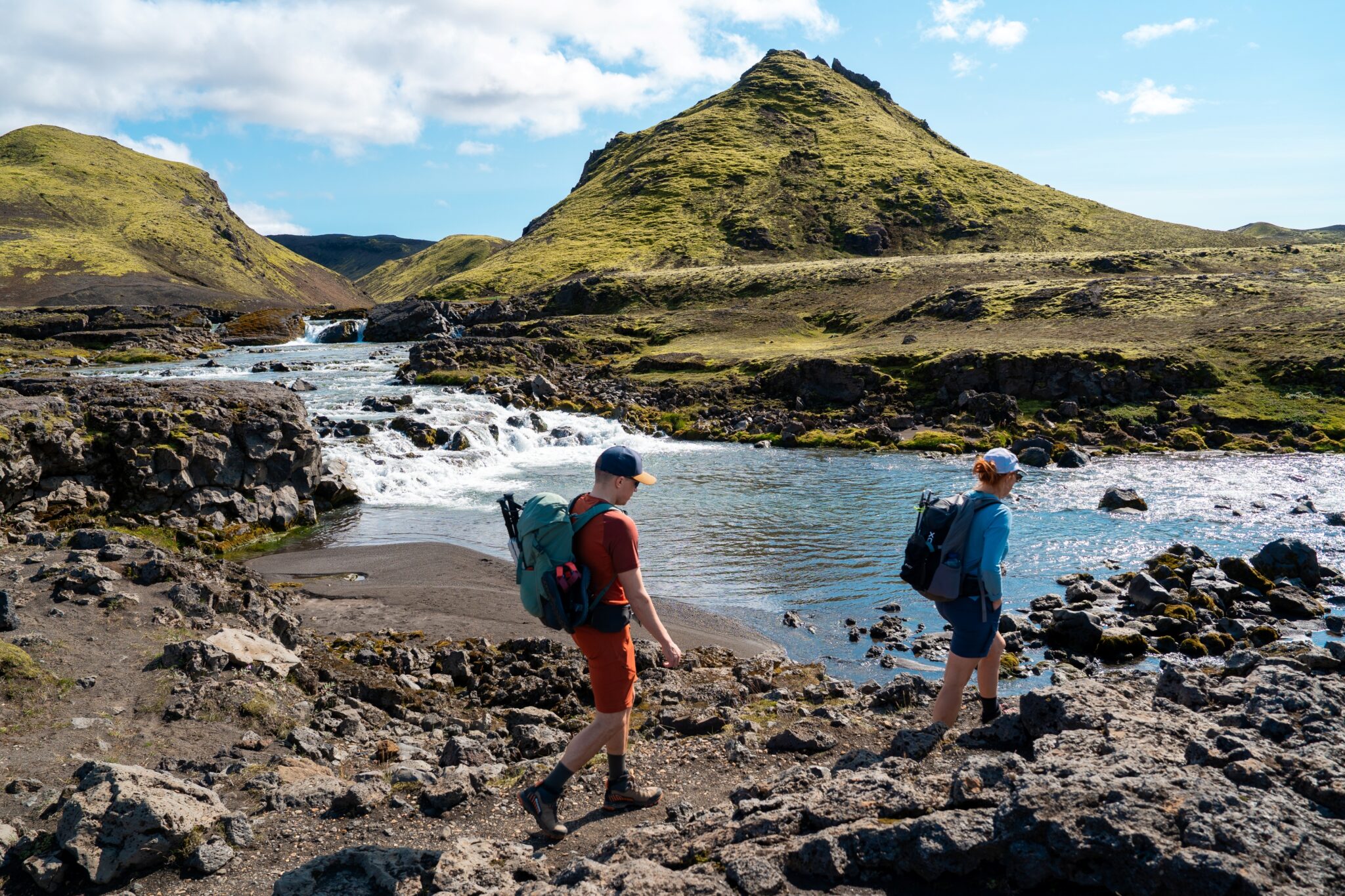
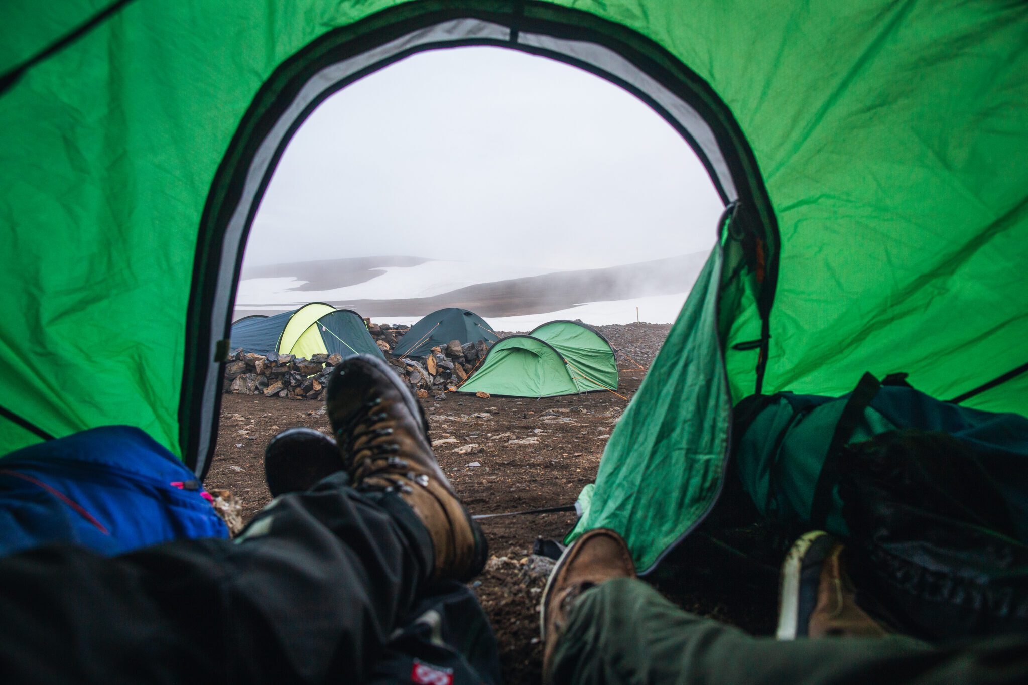
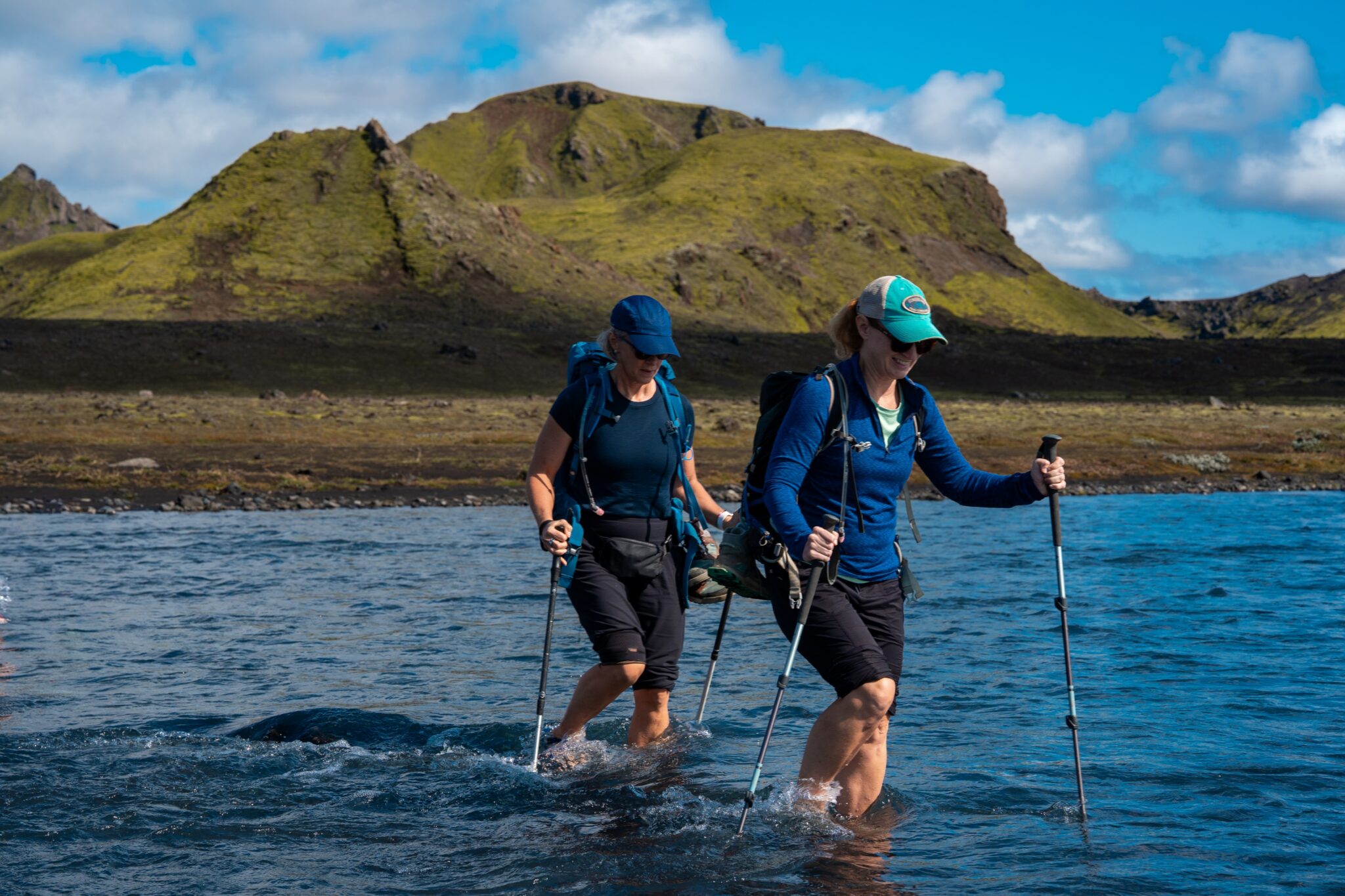
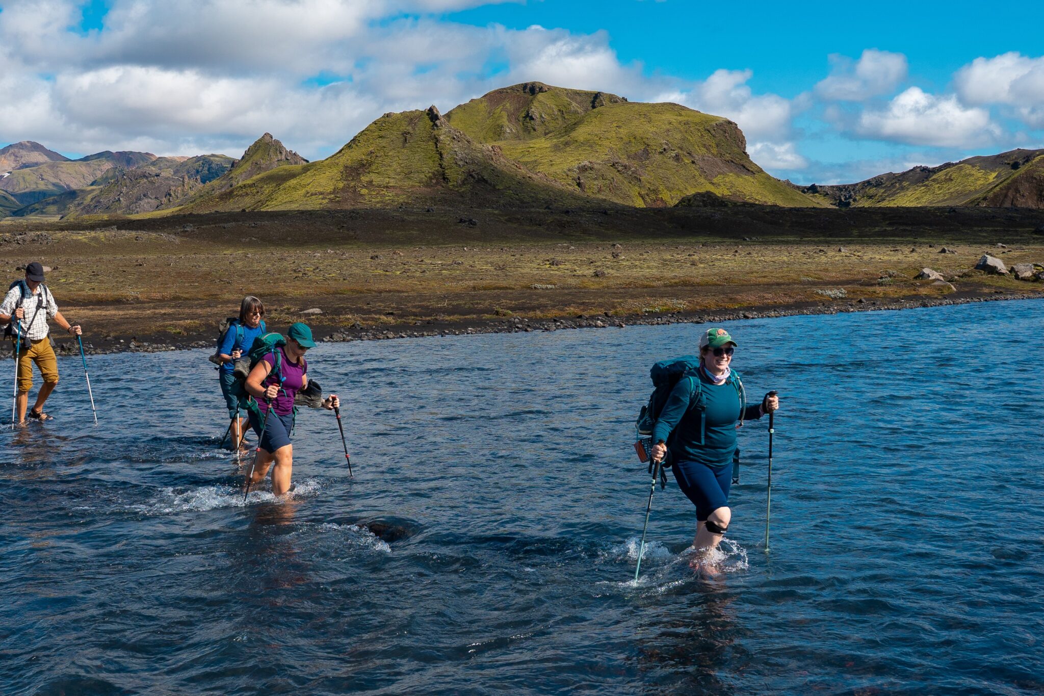
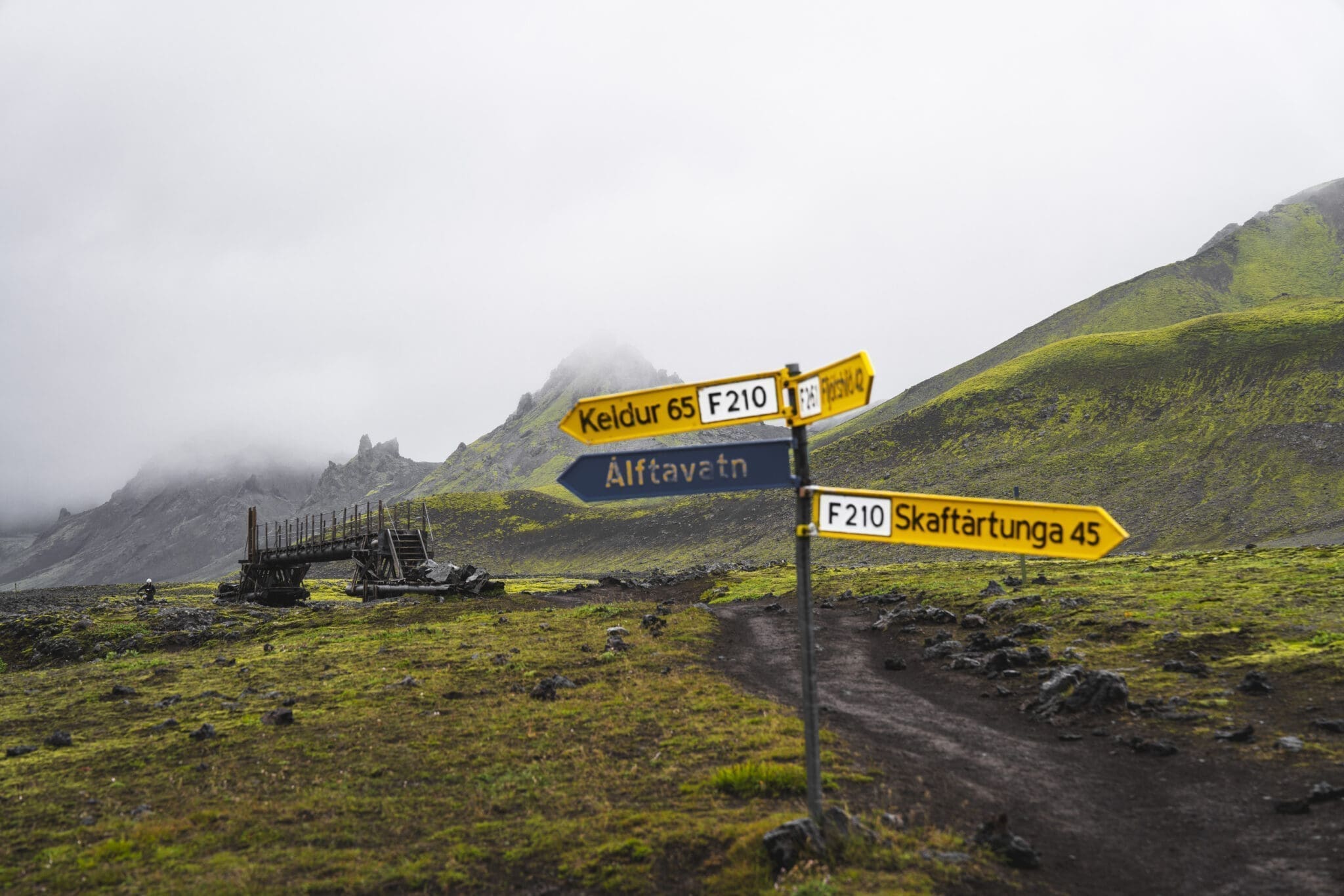
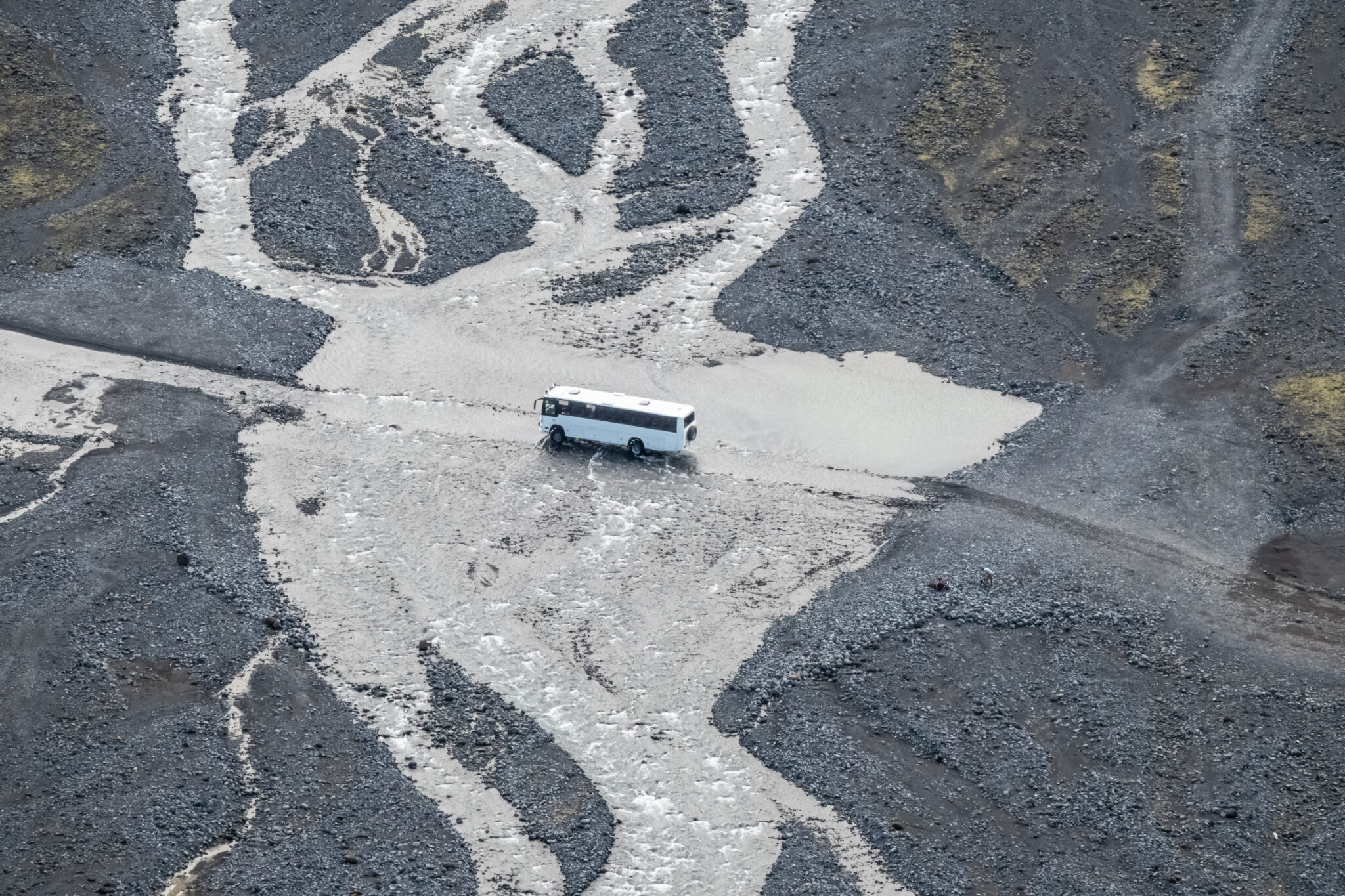
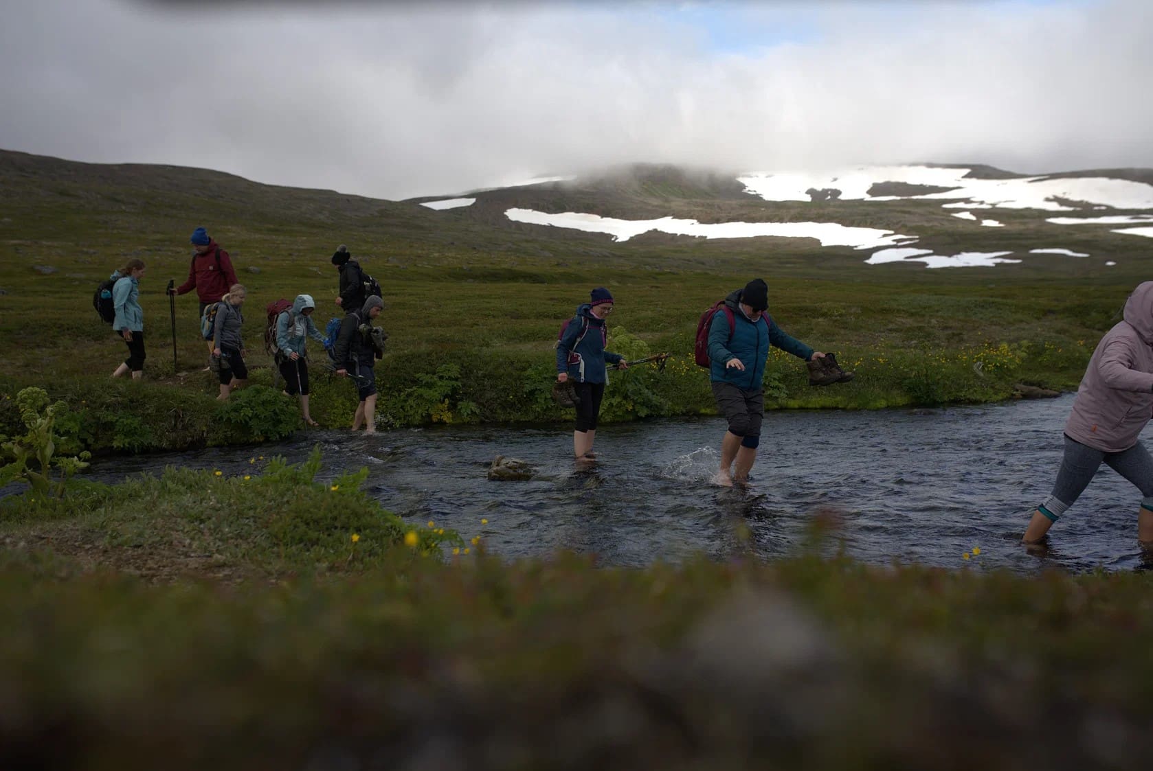
To reach our campsite near Álftavatn lake, we’ll wade across a river—a thrilling yet safe experience. The day concludes with a hearty dinner and a chance to relax, soaking in the tranquil beauty of the lake and its serene surroundings.
Entfernung: 24 km (14,9 Meilen). Gehzeit: 8 9 Stunden. Aufstieg: 900 m (2.952 Fuß).
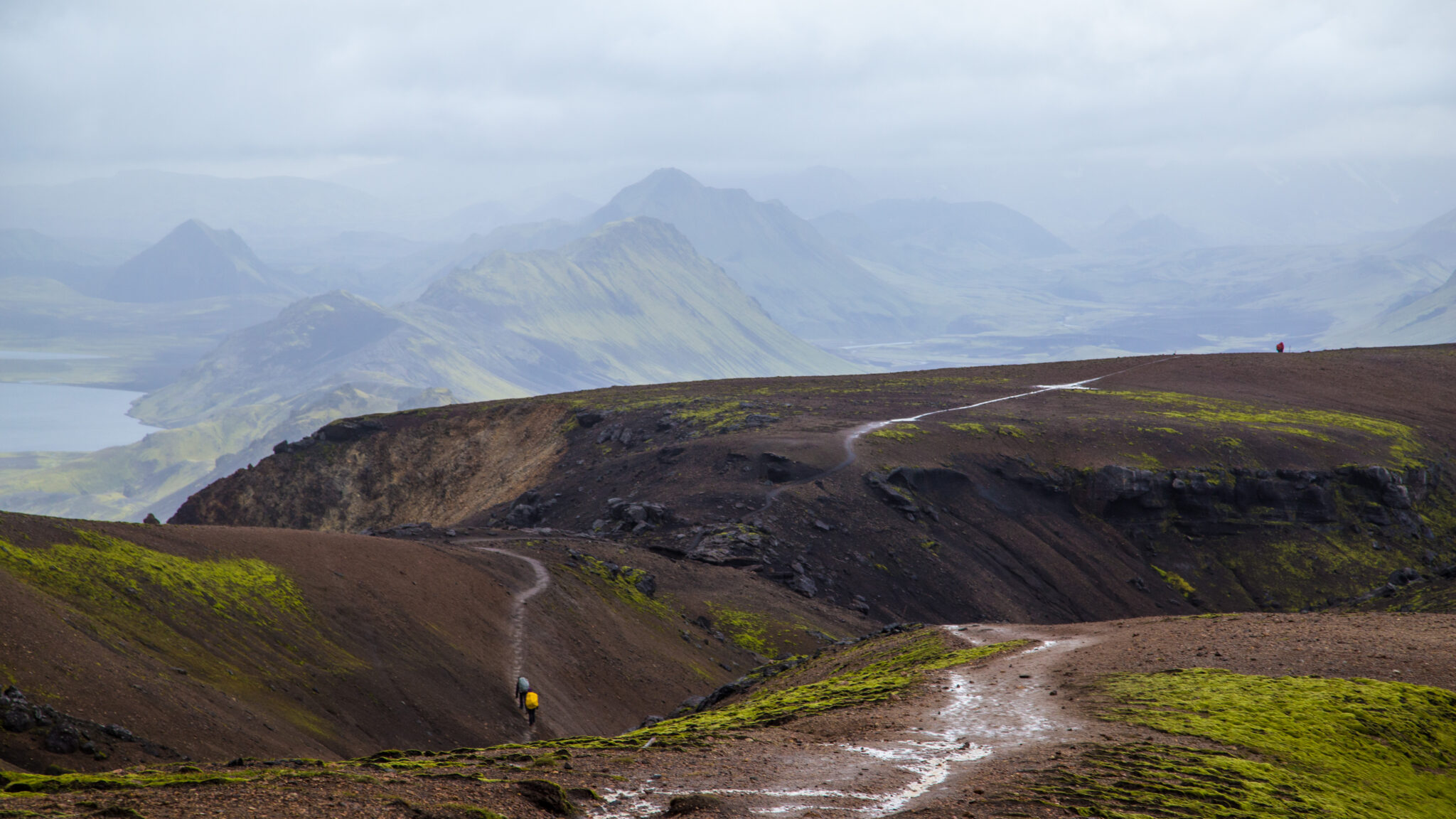
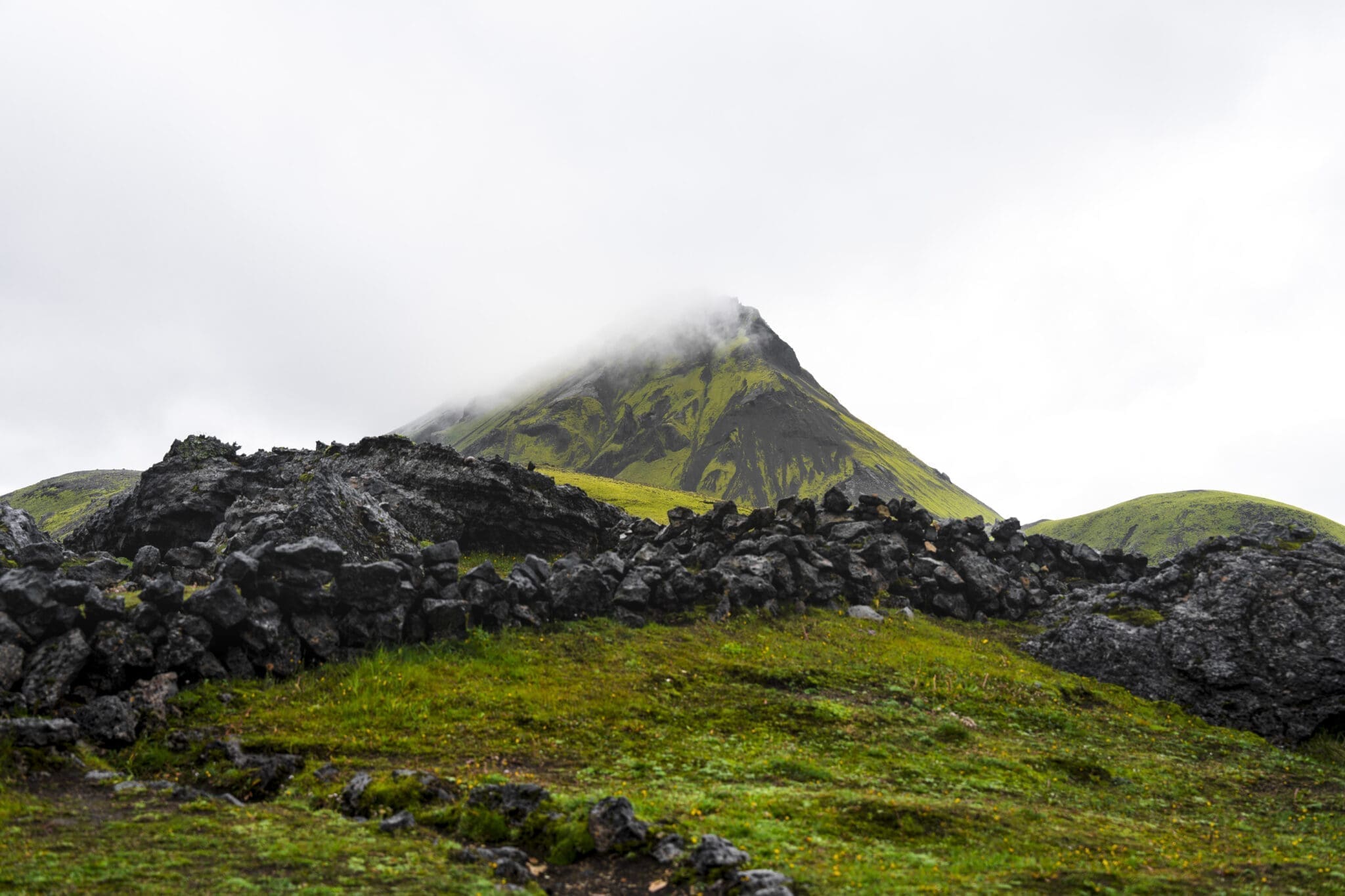
Nach einem ausgiebigen Frühstück machen wir uns auf zu einem weiteren aufregenden Trekkingtag, die Reise beginnt mit einer Bachüberquerung, heute ein vertrauter und lustiger Teil des Abenteuers, bevor es in die weite schwarze Sandwüste von Mælifellssandur geht, unterwegs passieren wir die markanten Vulkane Stórasúla und Hattafell, deren grüne moosbedeckte Hänge sich wunderschön von der dunklen, felsigen Landschaft abheben.
Bei klarem Wetter werden wir mit unglaublichen Ausblicken auf die Gletscher Eyjafjallajökull und Maurdalsjökull verwöhnt Diese ikonischen Vulkan-Glac sind durchdrungen von der Geschichte des Ejafjallajökull, der 2010 mit seinem kraftvollen Ausbruch den Flugverkehr bekanntermaßen unterbrochen hat, und Maurdalsjökull verbirgt den unberechenbaren Vulkan Katla unter seinem Eis.
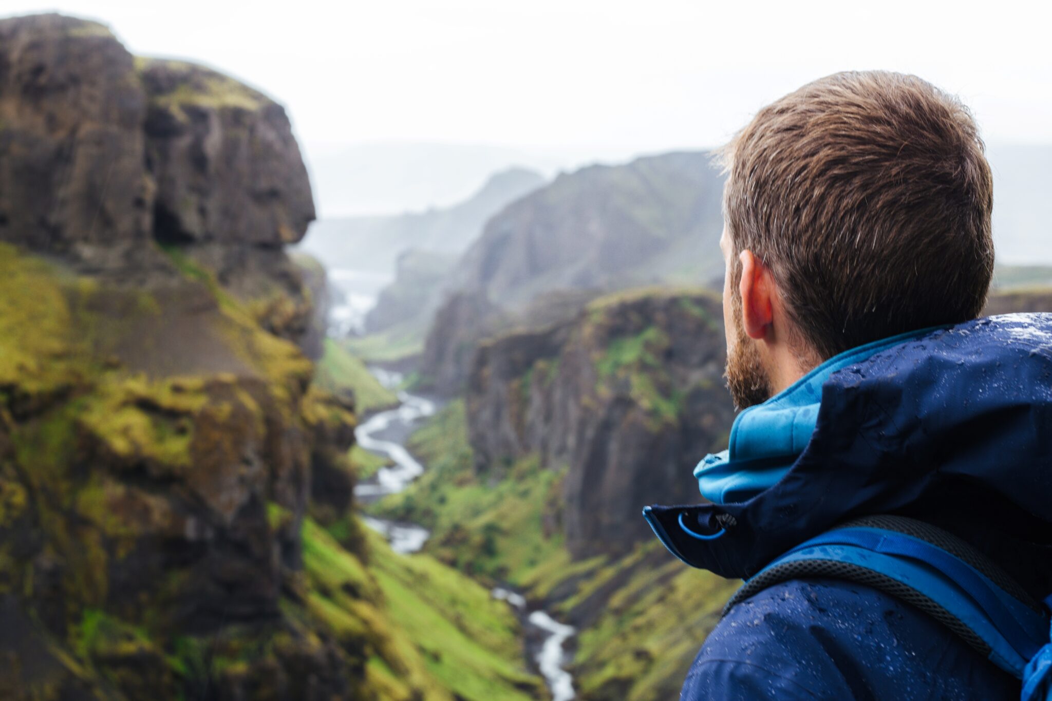
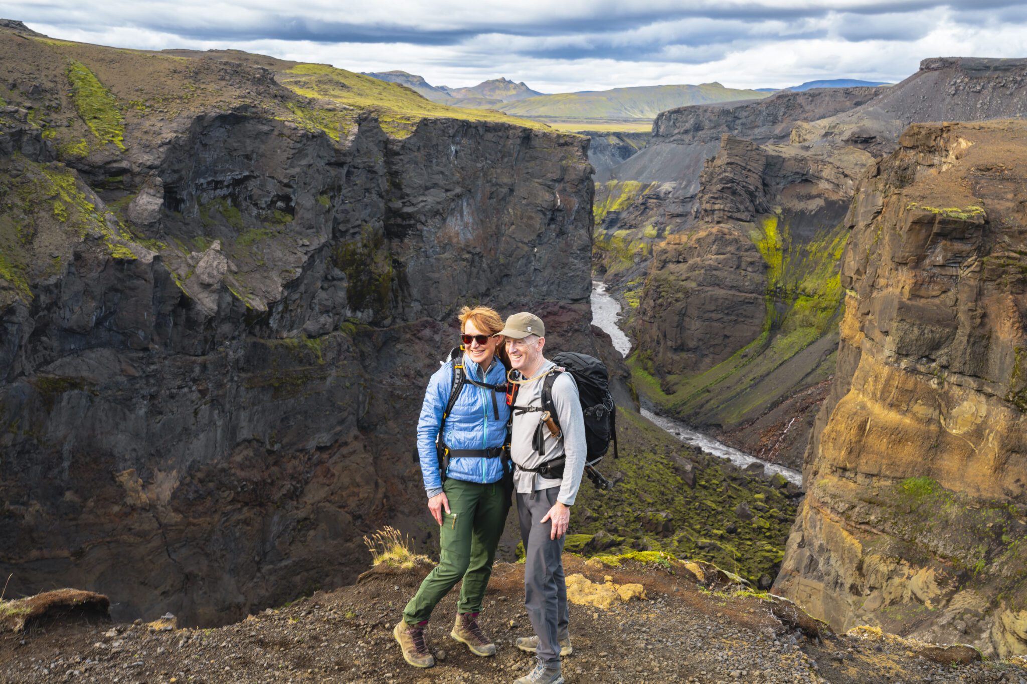
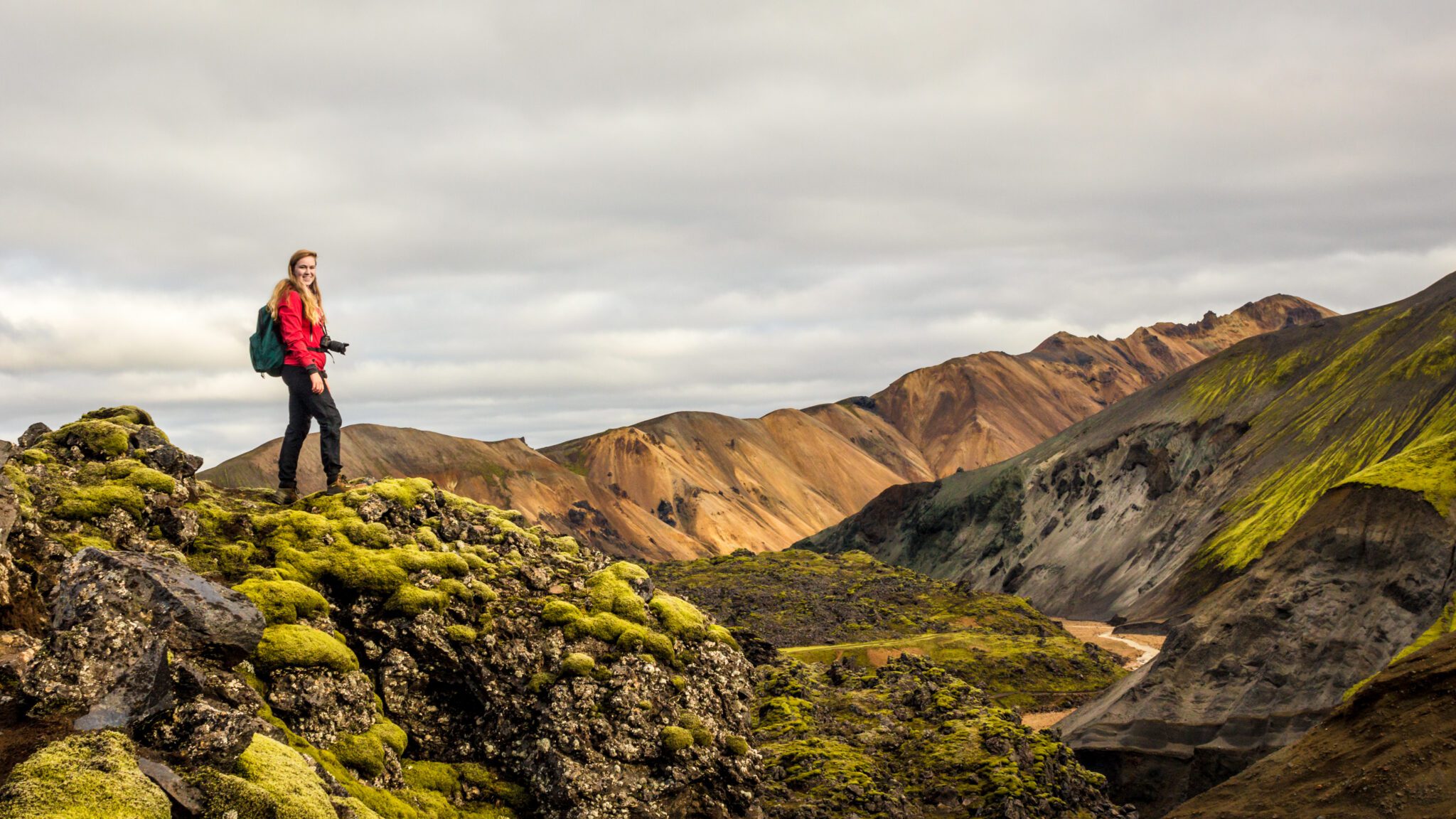
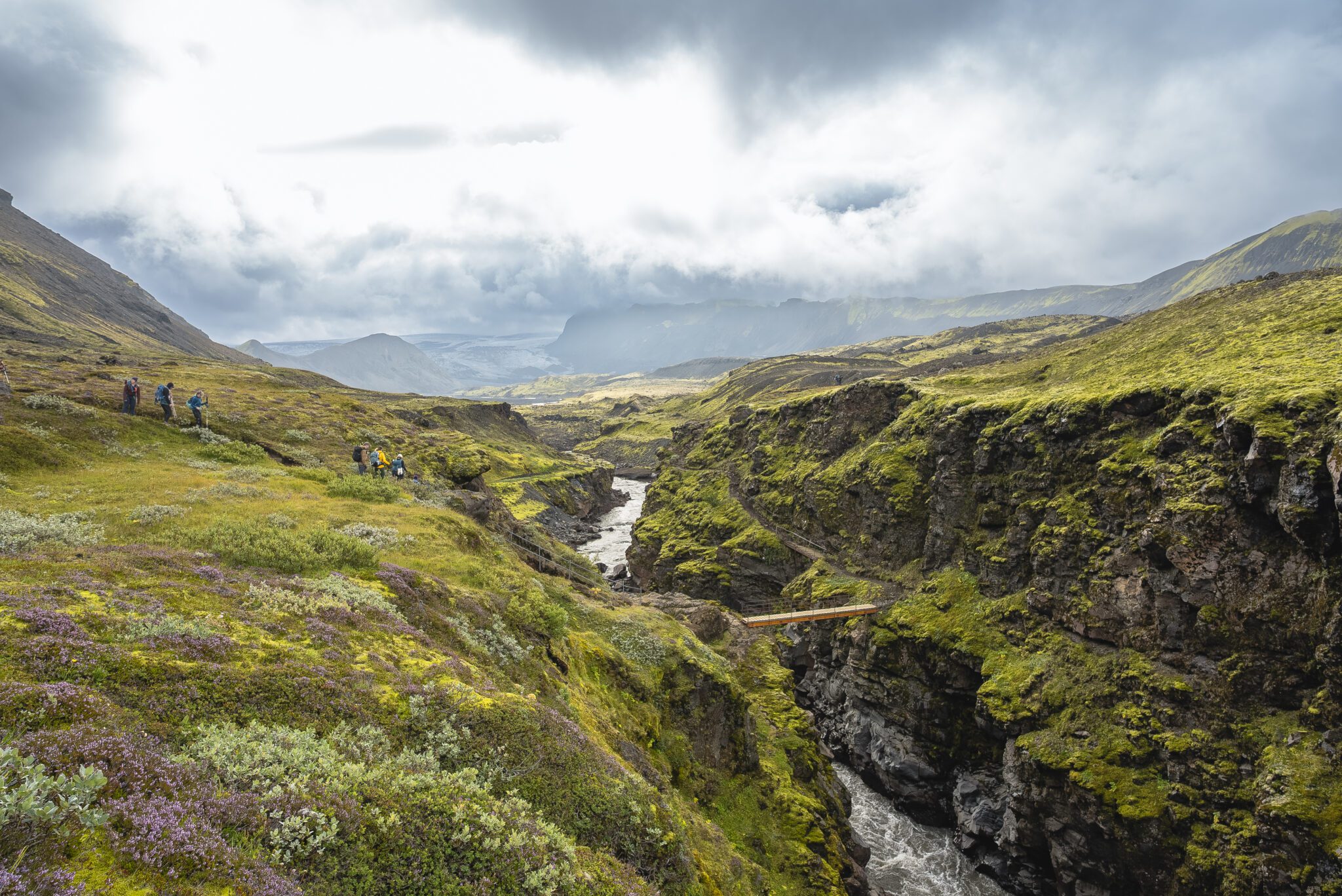
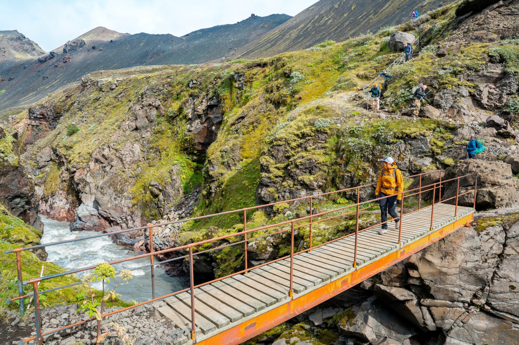
As we continue, the dramatic Markarfljótsgljúfur canyon comes into view. This stunning 200 (656 ft) deep gorge, carved by a glacial river, is a real highlight of the day. We’ll eventually reach Botnar, a green oasis nestled in the middle of the black desert, where we’ll spend the night. After a delicious dinner, you can relax and enjoy the tranquil scenery in the soft evening light.
Entfernung: 15 km (9,5 Meilen). Gehzeit: 6 7 Stunden. Abstieg: 40 m (130 ft).
On day 4, we set out on the final stretch of the Laugavegur Trail, leaving the dramatic landscapes of Emstrur behind as we make our way toward Þórsmörk. The trail leads us through the scenic Almenningar gorge, with the striking silhouette of Mount Einhyrningur (Unicorn Mountain) rising against the sky. Along the way, we’re treated to stunning glacier views of Eyjafjallajökull and Mýrdalsjökull.
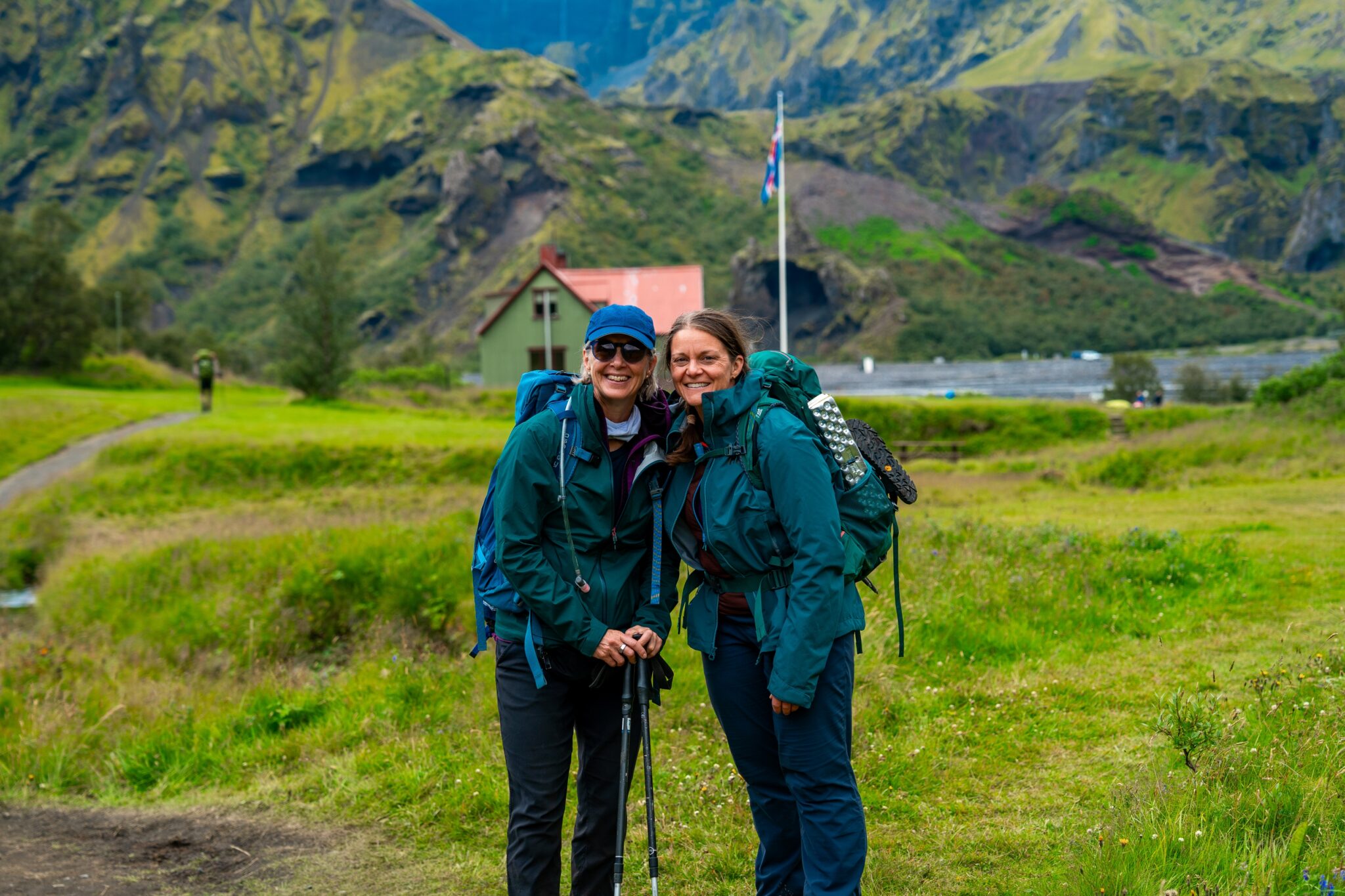
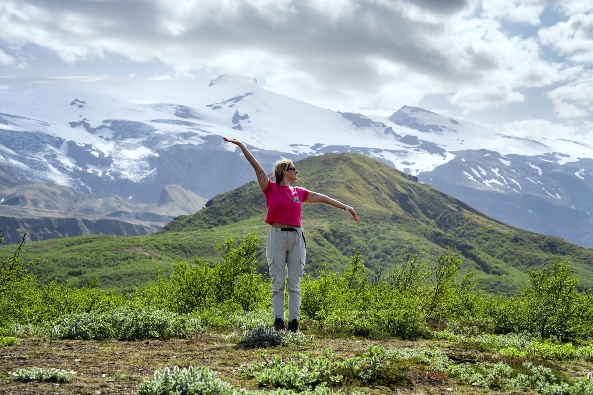
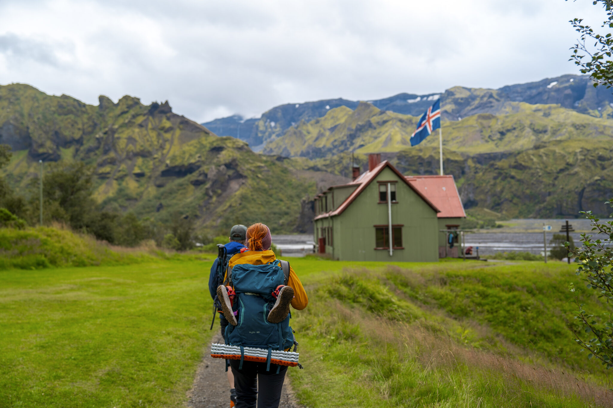
Als wir uns rangehen, beginnt sich die Landschaft zu verändern Spärliche Bäume beginnen zu erscheinen, die allmählich den dichten Birkenwäldern weichen, die dieses Tal so einzigartig machen Die Luft wird frischer, gefüllt mit Vogelgeräuschen und den raschelnden Blättern, schließlich kommen wir in der üppigen Oase von 2förk an, umgeben von hoch aufragenden Bergen und Gletschern, perfekt um die unglaubliche Leistung der Vollendung des weltberühmten Laugavegur-Pfades zu feiern.
Entfernung: 15 km (9,5 Meilen). Gehzeit: 6 7 Stunden. Abstieg: 300 m (985 Fuß).
Mahlzeiten
210.990 ISK
49.360 ISK
39.490 ISK
39.490 ISK
58.740 ISK
58.728 ISK
65.240 ISK
290.000 ISK
309.320 ISK

328.028 ISK
Reisetipps, neue Guides und ein Heads-up, wenn die Polarlichter-Prognose gut aussieht Kein Spam.