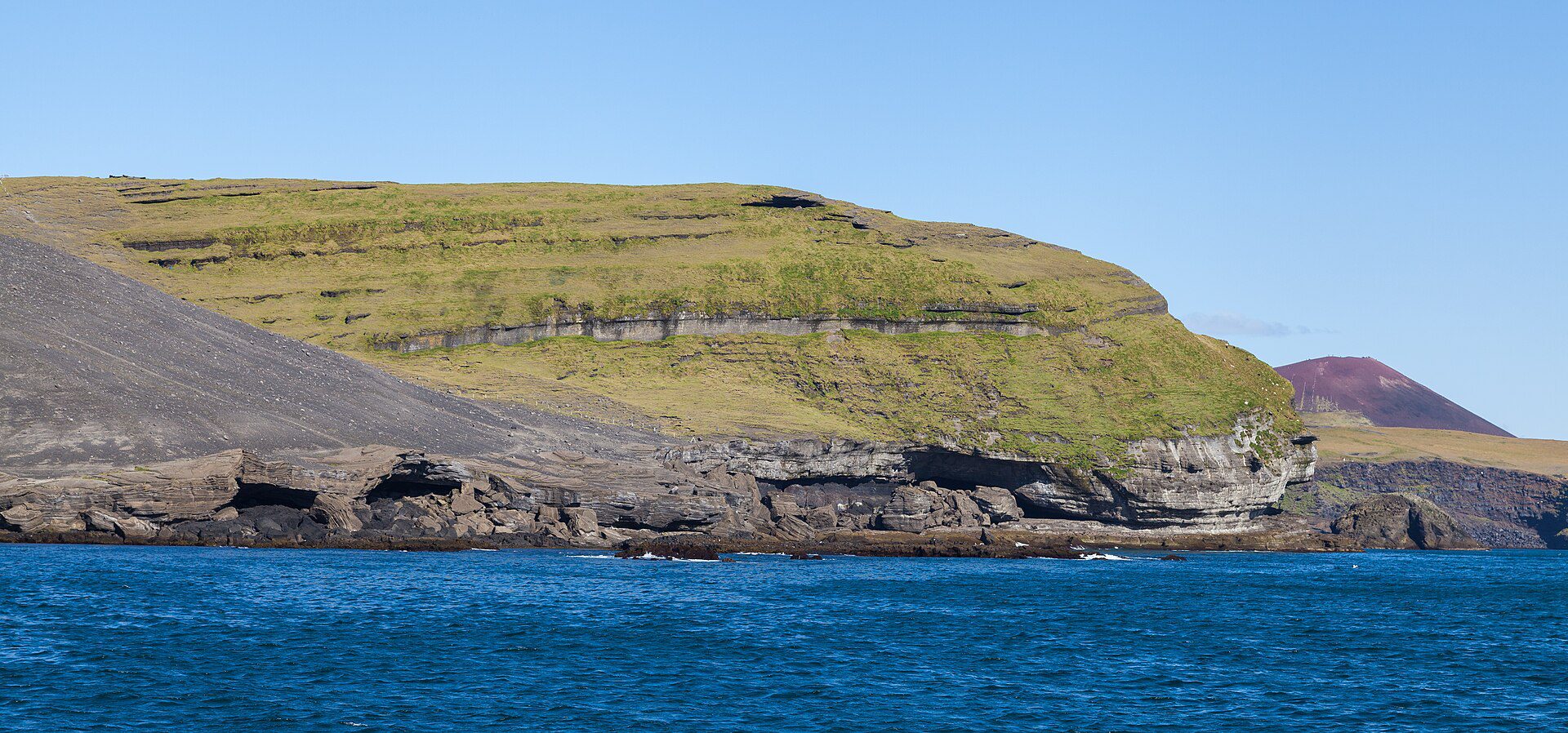
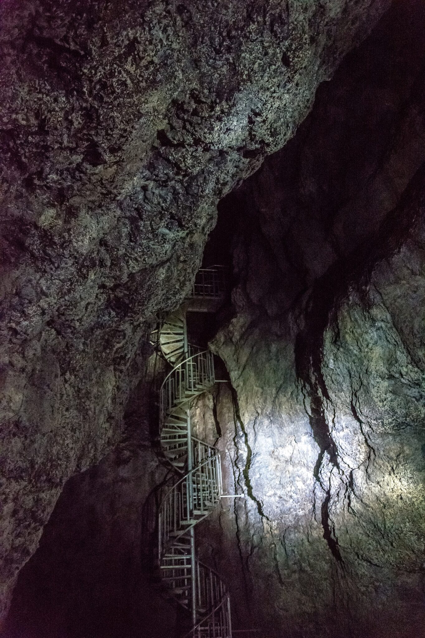
Eldfell
Volcanoes, Hikings, Nature
Eldfell, Heimaey, Vestmannaeyjar

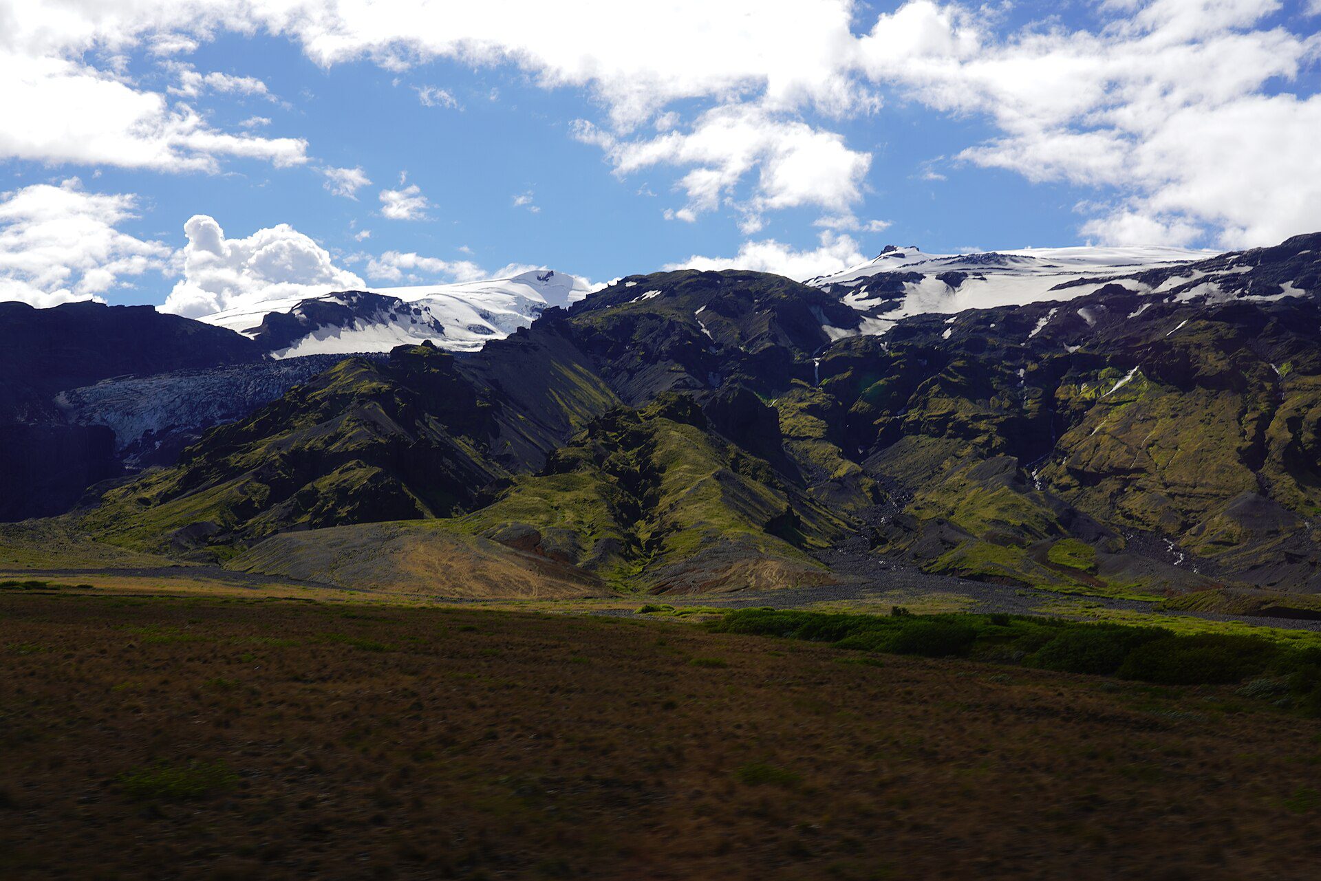
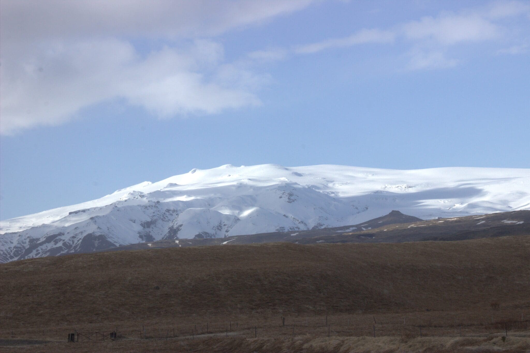
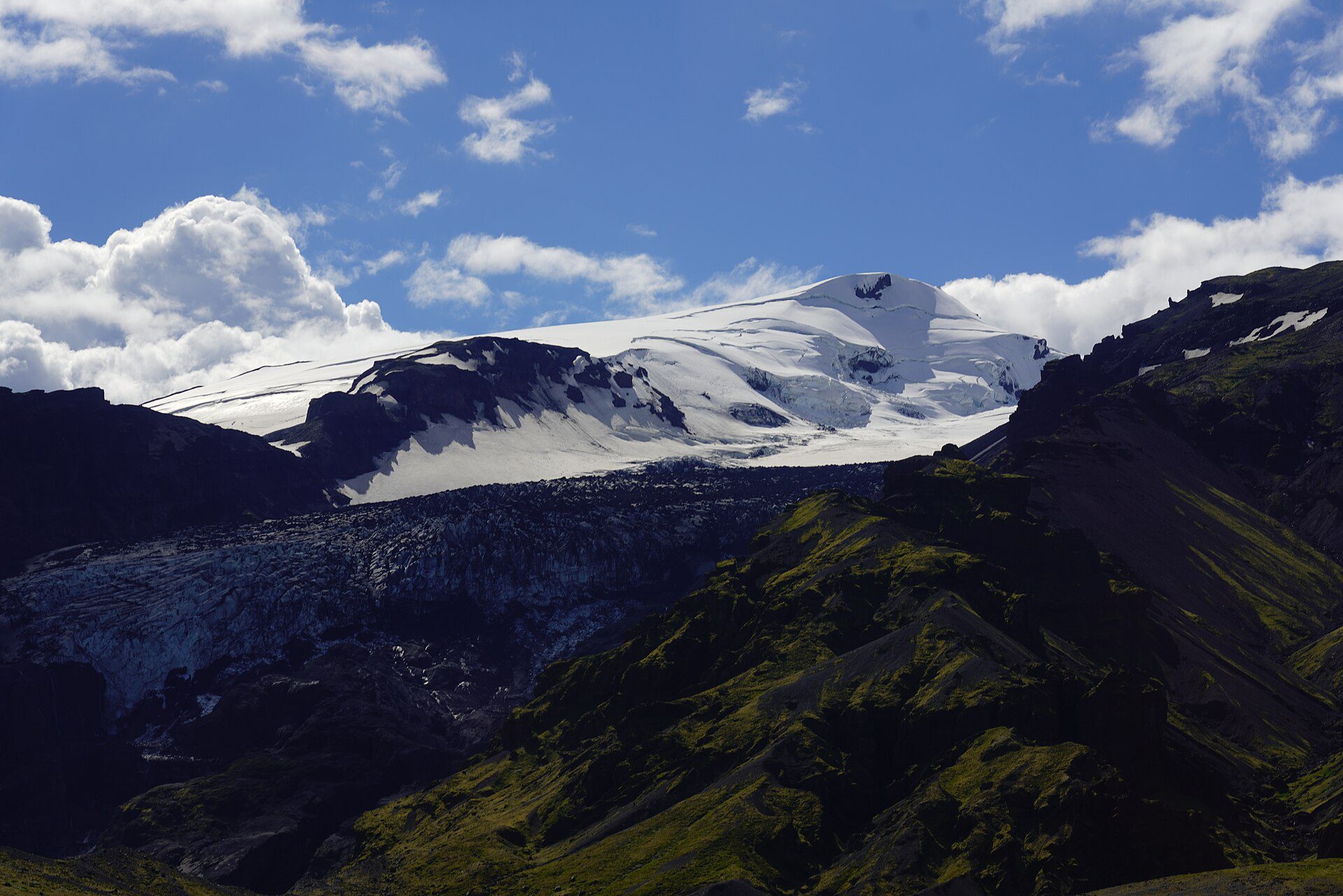
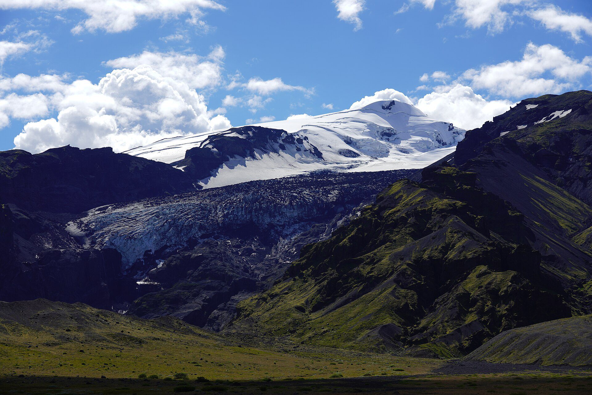
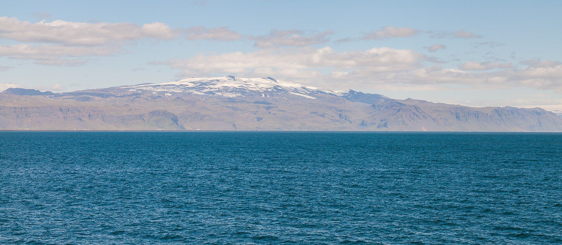
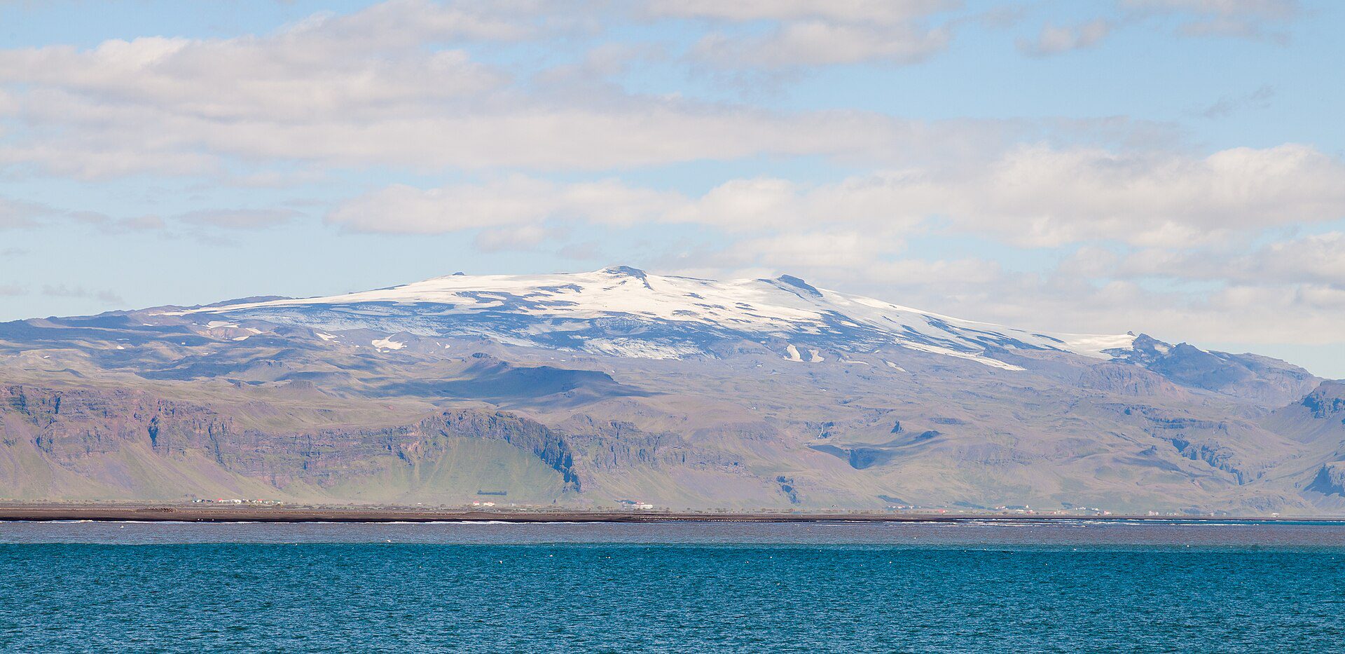
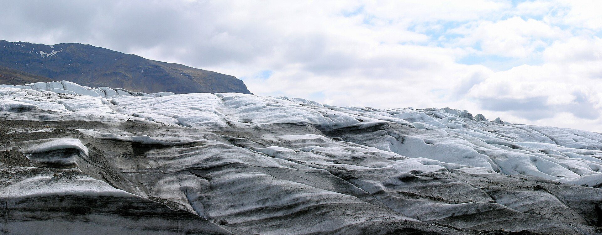
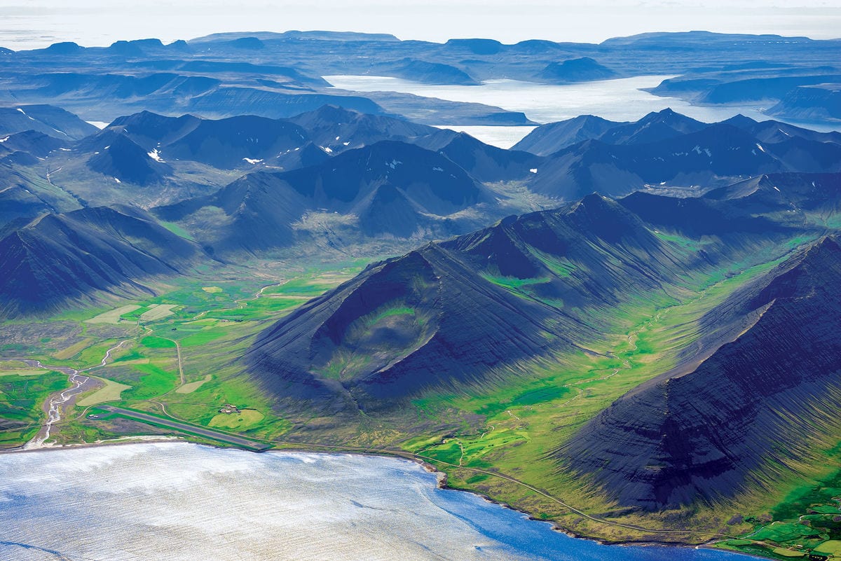
Eyjafjallajökull became known worldwide in April 2010 when its summit eruption sent an ash cloud across Europe, grounding thousands of flights for weeks and introducing the world to what is arguably the most mispronounced volcano name in history. But before and after that eruption, Eyjafjallajökull was simply one of Iceland’s most scenically impressive peaks — a glacier-capped stratovolcano rising to 1,651 metres above the South Coast, its white ice cap visible from the Ring Road for many kilometres in either direction.
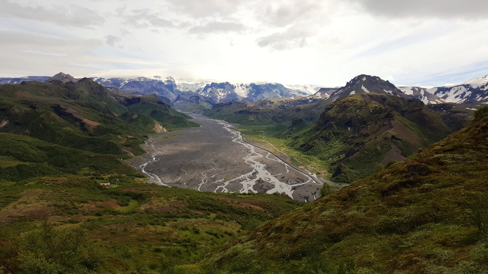
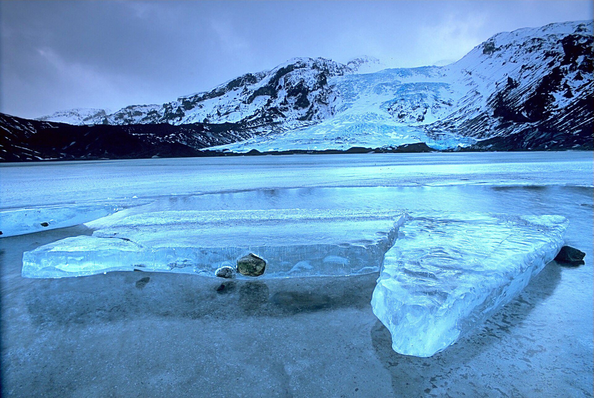
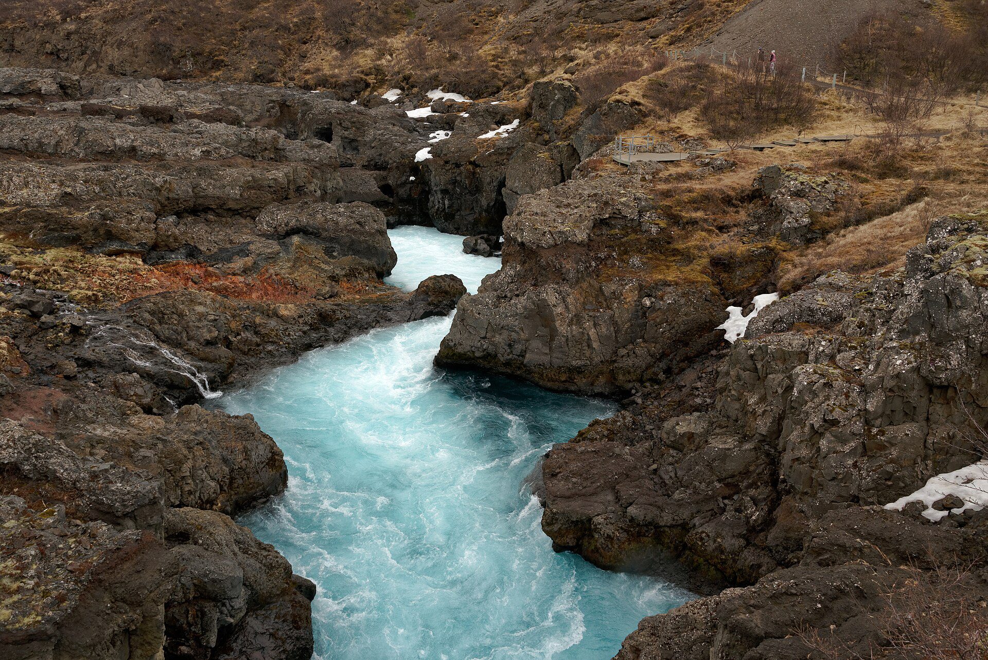
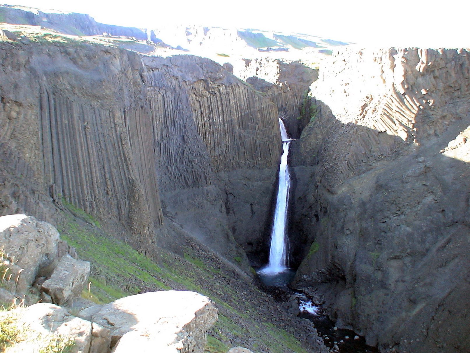
The volcano forms a dramatic backdrop to the surrounding farmland and waterfalls of the South Coast, including the iconic Skógafoss and Seljalandsfoss waterfalls which lie at its foot. Guided glacier hikes and snowmobile tours onto the ice cap are available from operators based near Þórsmörk, offering a chance to walk on the glacier itself and appreciate the scale of the mountain up close. On clear days the summit views stretch across the South Coast to Vestmannaeyjar and the ocean.
Eyjafjallajökull is located along the Ring Road between Selfoss and Vík, approximately 150 km from Reykjavík. The mountain is part of the Fjallabak Nature Reserve zone and the glaciated upper areas are accessed via guided tours only; independent hiking to the summit is possible for experienced mountaineers in summer. The volcano is monitored continuously by the Icelandic Met Office.


Travel tips, new guides and a heads-up when the aurora forecast looks good. No spam.