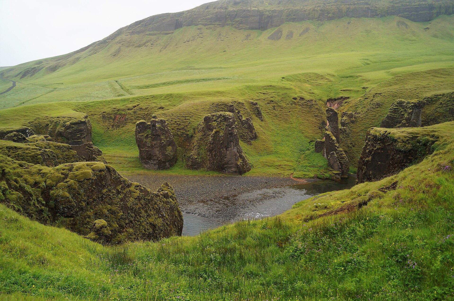
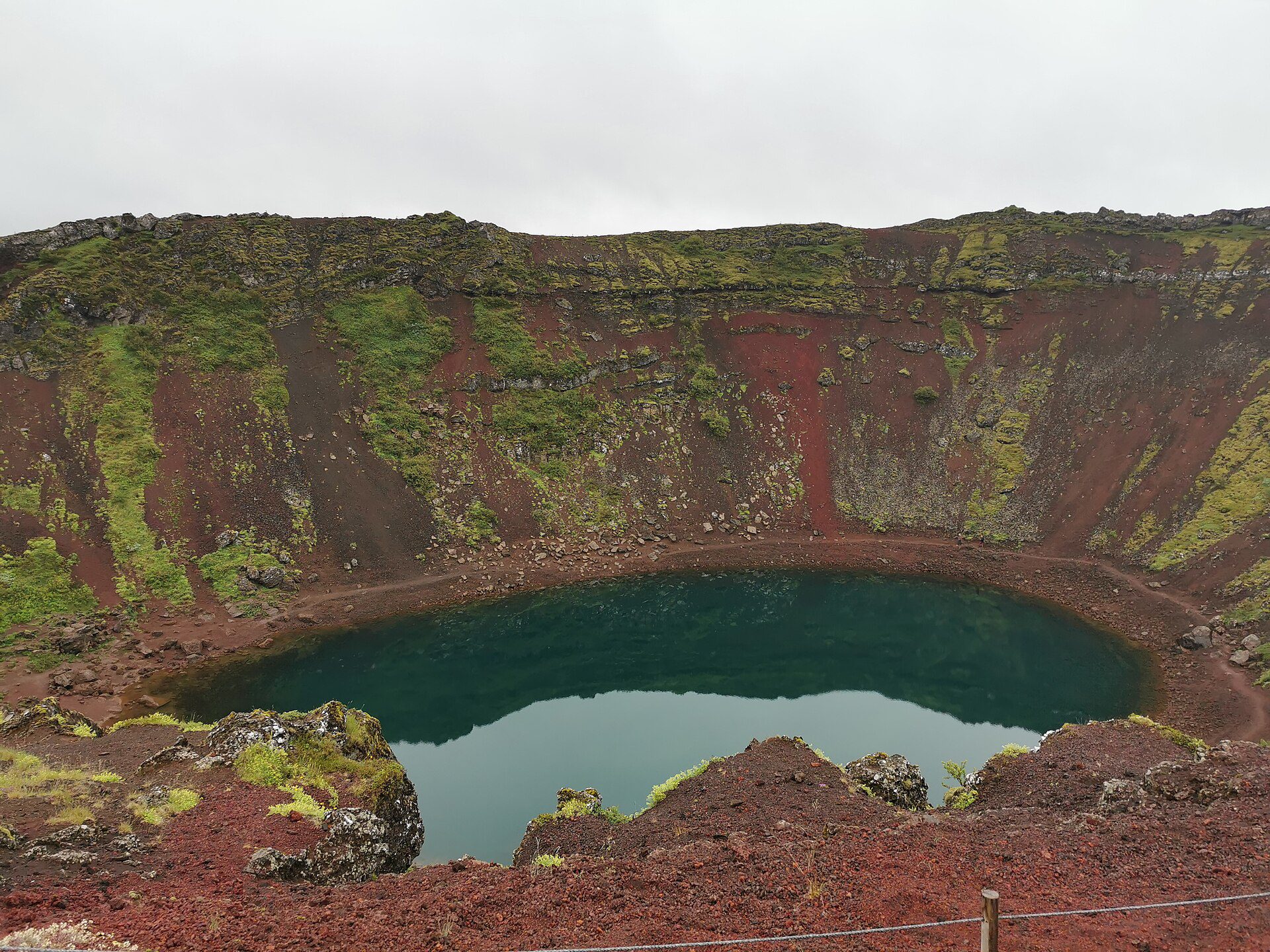
Fjadrargljufur
Cañones, Senderismo, Naturaleza
Fjaðrárgljúfur, Kirkjubæjarklaustur, sur de Islandia

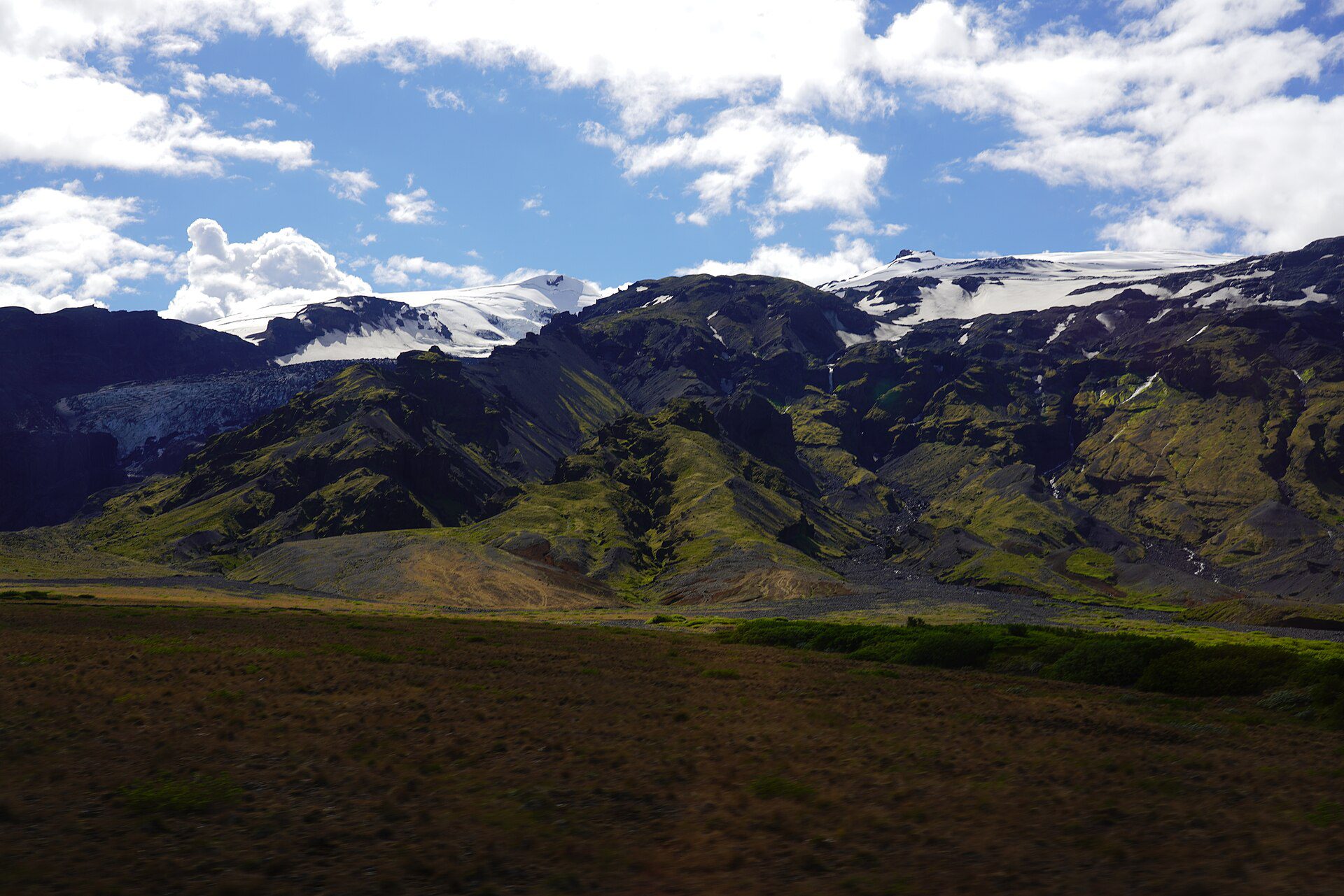
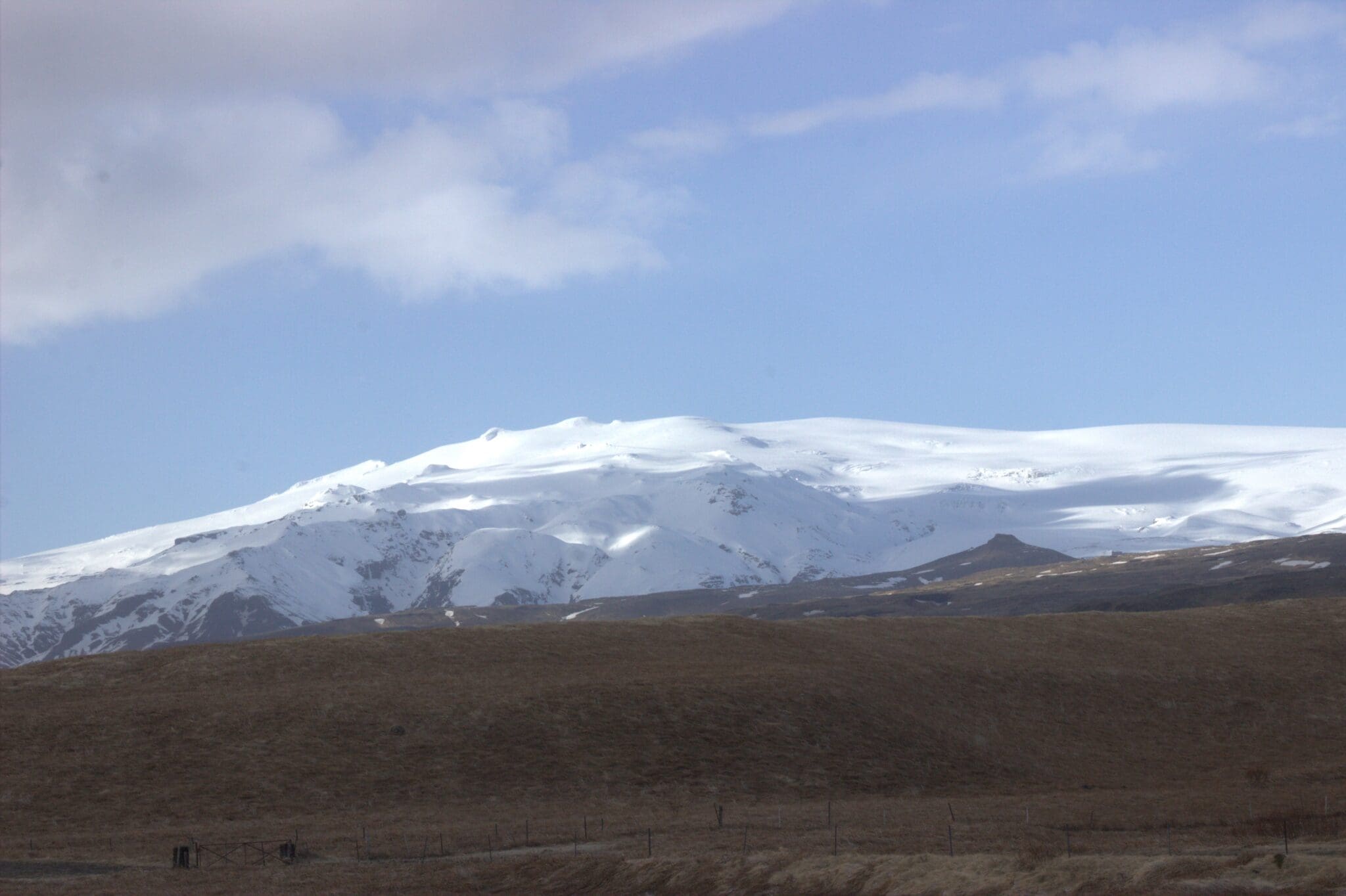
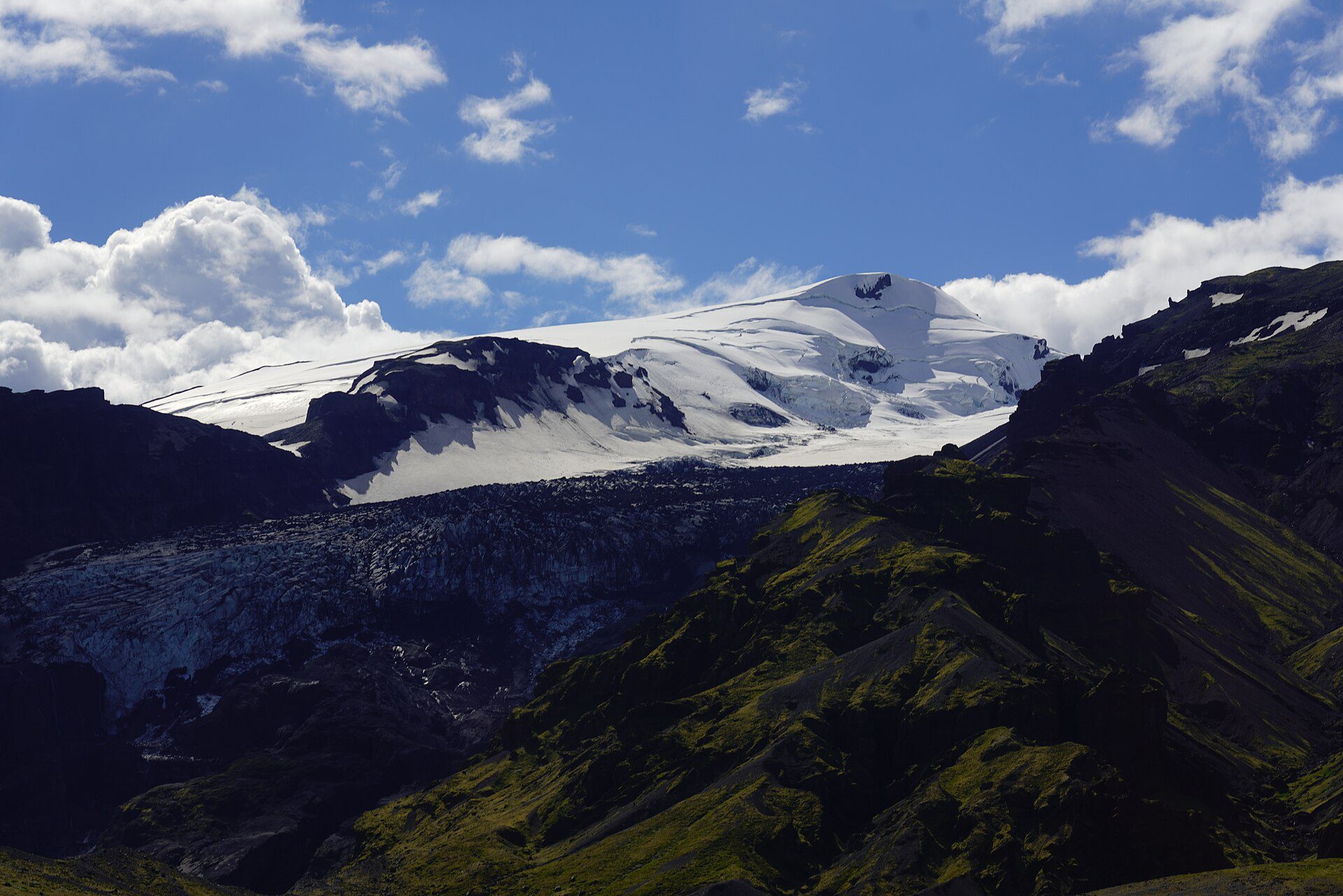
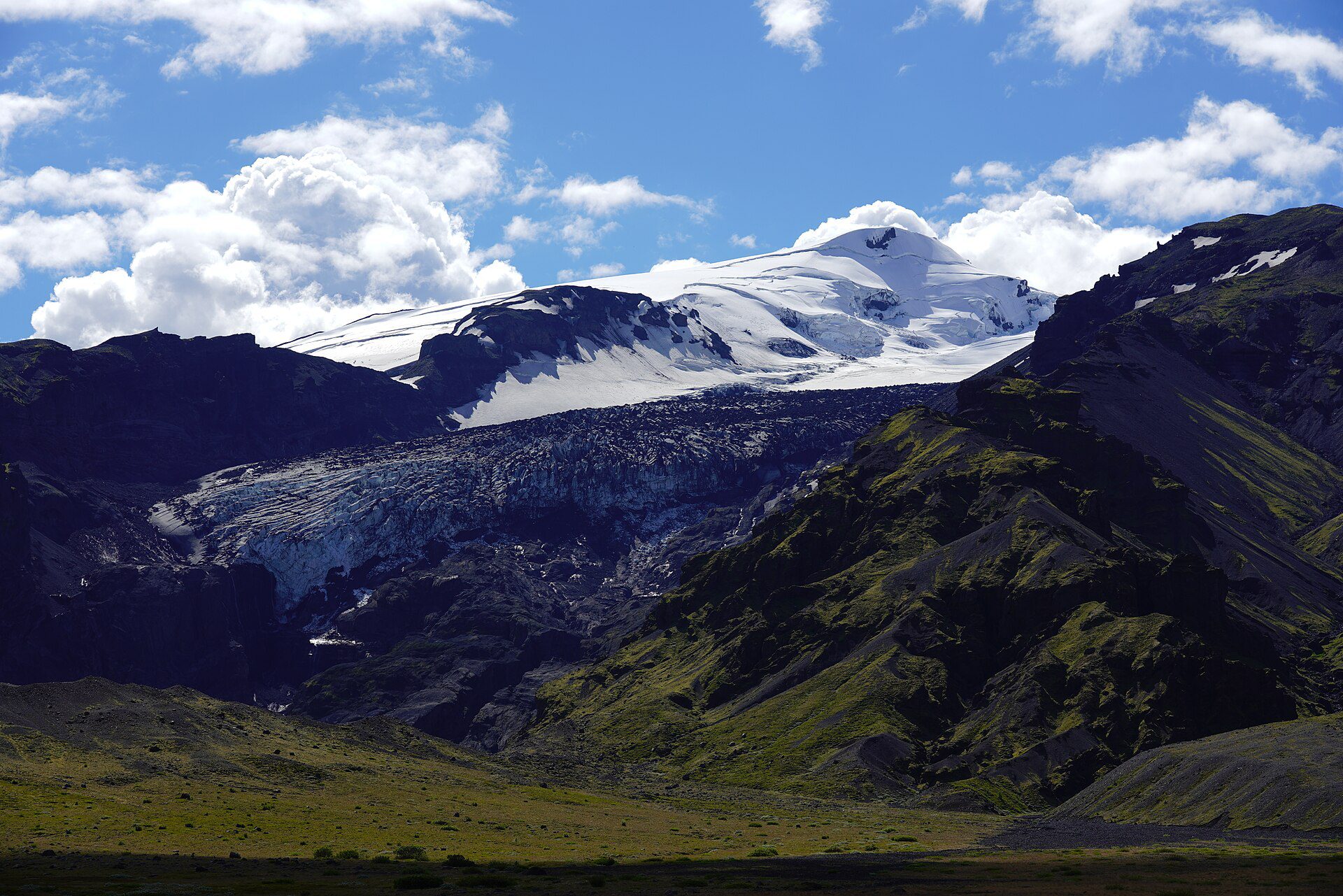
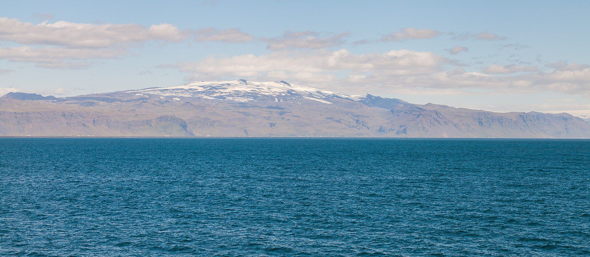
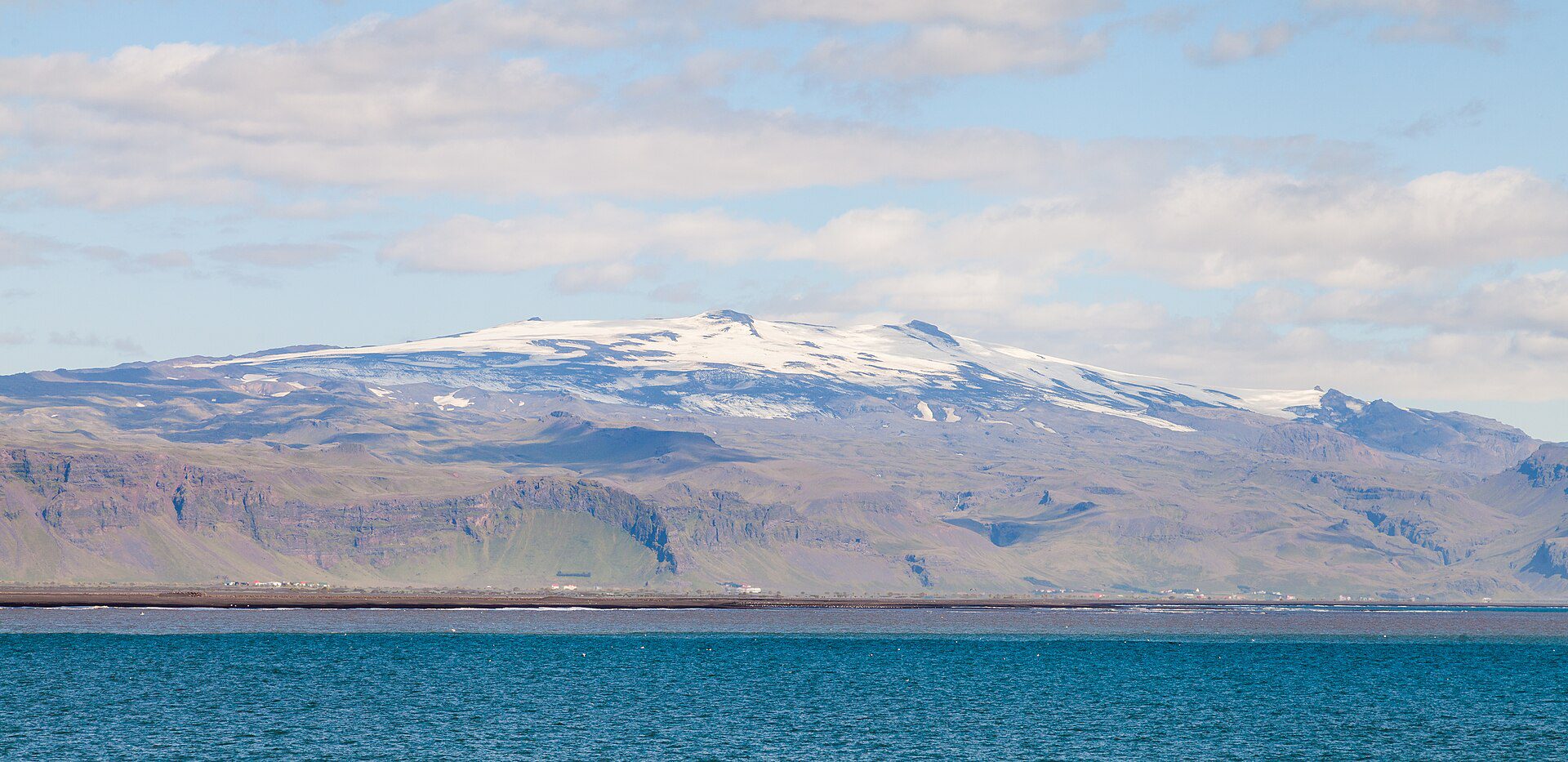
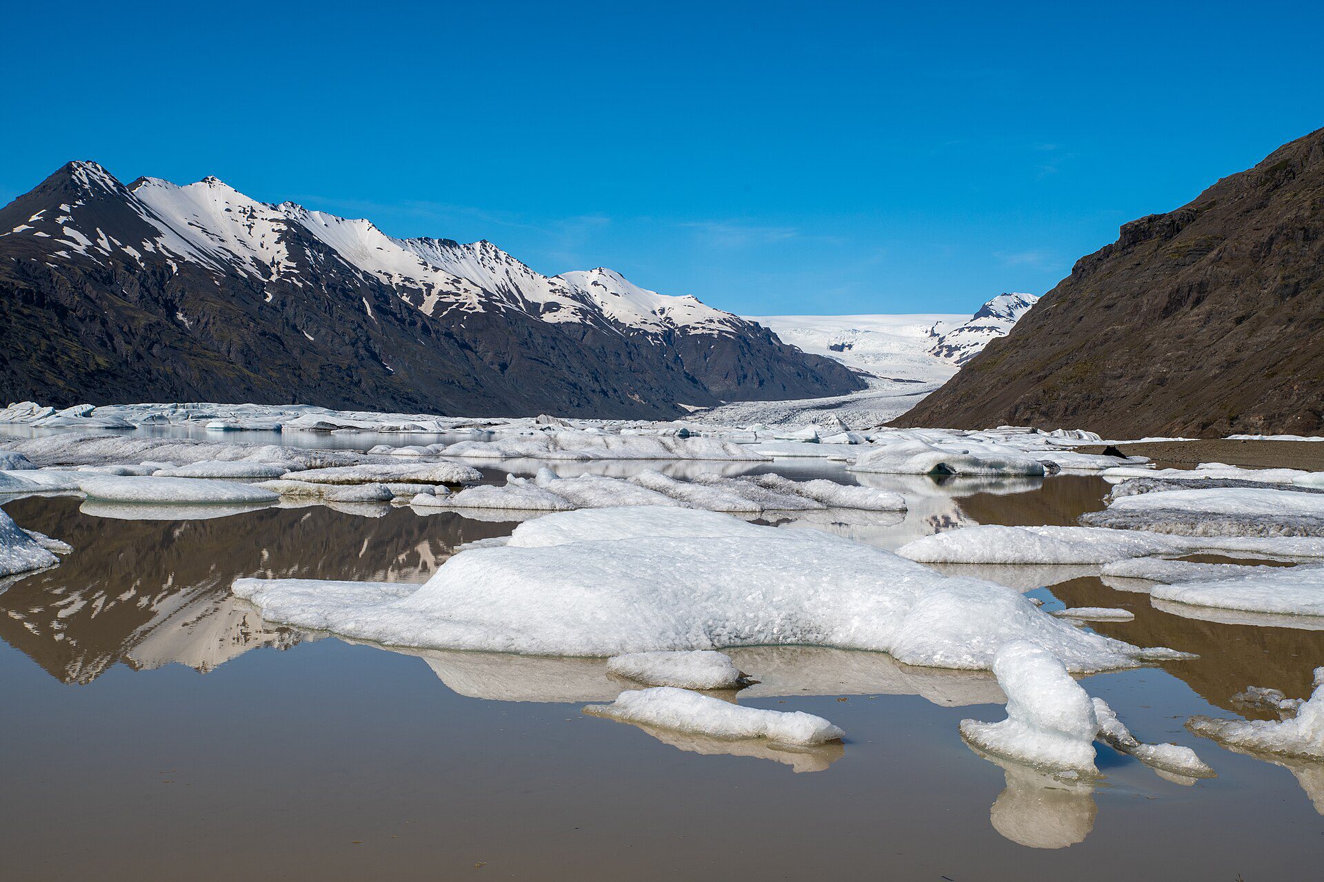
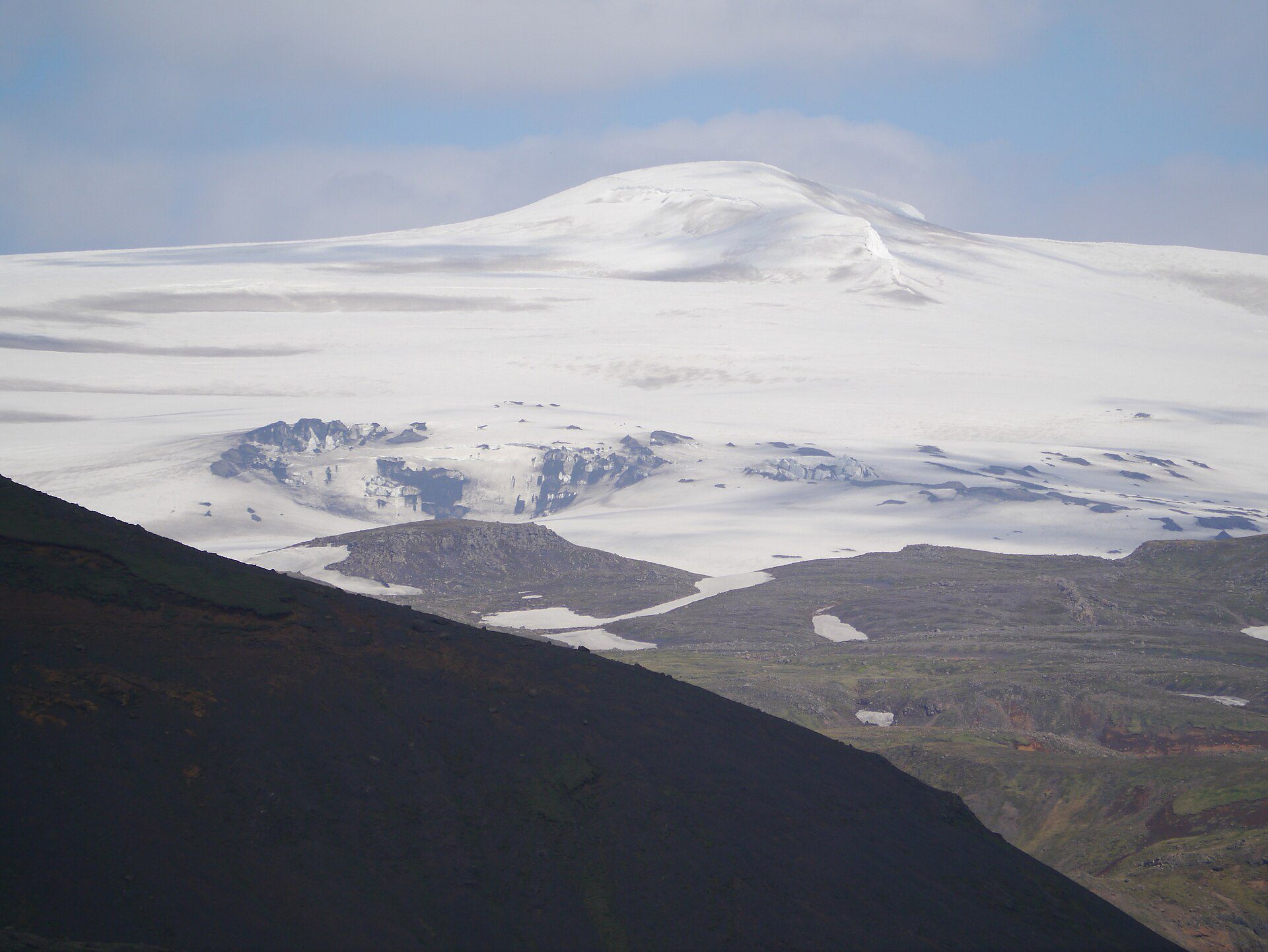
Eyjafjallajökull se hizo conocido mundialmente en abril de 2010 cuando la erupción de su cumbre envió una nube de ceniza por toda Europa, inmovilizando miles de vuelos durante semanas e introduciendo al mundo lo que posiblemente sea el nombre de volcán más mal pronunciado de la historia. Pero antes y después de esa erupción, Eyjafjallajökull era simplemente uno de los picos más impresionantes desde el punto de vista panorámico de Islandia: un estratovolcán cubierto de glaciares que se eleva a 1.651 metros sobre la costa sur y su capa de hielo blanco visible desde la carretera de circunvalación a lo largo de muchos kilómetros en cualquier dirección.
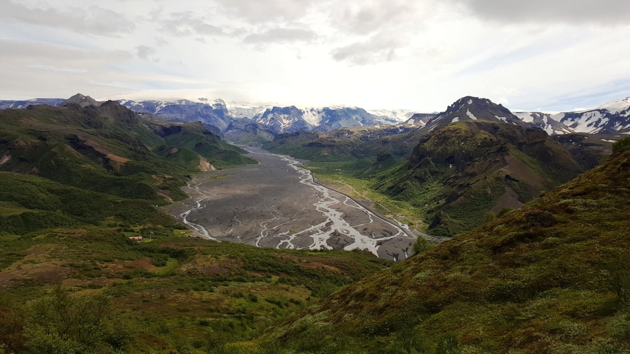
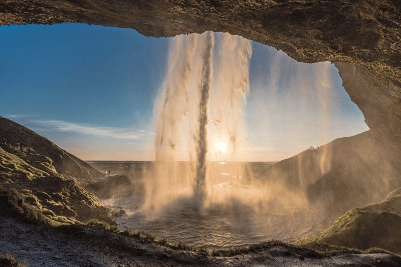
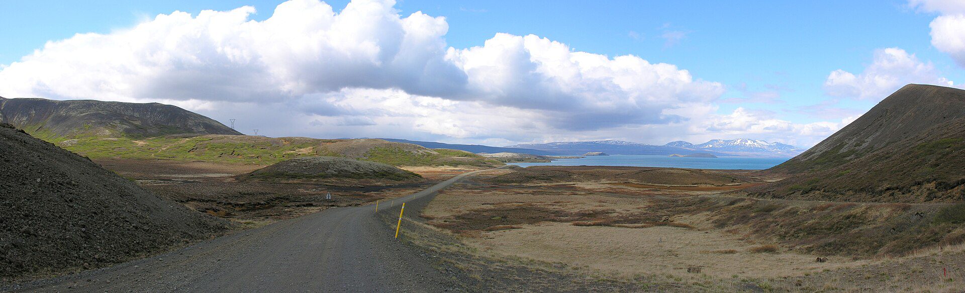
El volcán forma un espectacular telón de fondo para las tierras de cultivo y cascadas circundantes de la costa sur, incluidas las icónicas cascadas Skógafoss y Seljalandsfoss que se encuentran a sus pies. Los operadores con sede cerca de «órrsmörk ofrecen caminatas guiadas por glaciares y recorridos en motos de nieve hasta la capa de hielo, lo que ofrece la oportunidad de caminar sobre el glaciar y apreciar de cerca la escala de la montaña. En días despejados, las vistas de la cumbre se extienden a lo largo de la costa sur hasta Vestmannaeyjar y el océano.
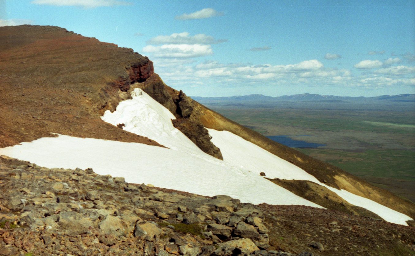
Eyjafjallajökull se encuentra a lo largo de la carretera de circunvalación entre Selfoss y Vík, aproximadamente a 150 km de Reykjavík. La montaña forma parte de la zona de la Reserva Natural de Fjallabak y se accede a las zonas superiores glaciares únicamente mediante visitas guiadas; En verano, los montañeros experimentados pueden realizar caminatas independientes hasta la cima. El volcán es monitoreado continuamente por la Oficina Meteorológica de Islandia.

Consejos de viaje, nuevas guías y aviso cuando el pronóstico de auroras se vea bien. Sin spam.