
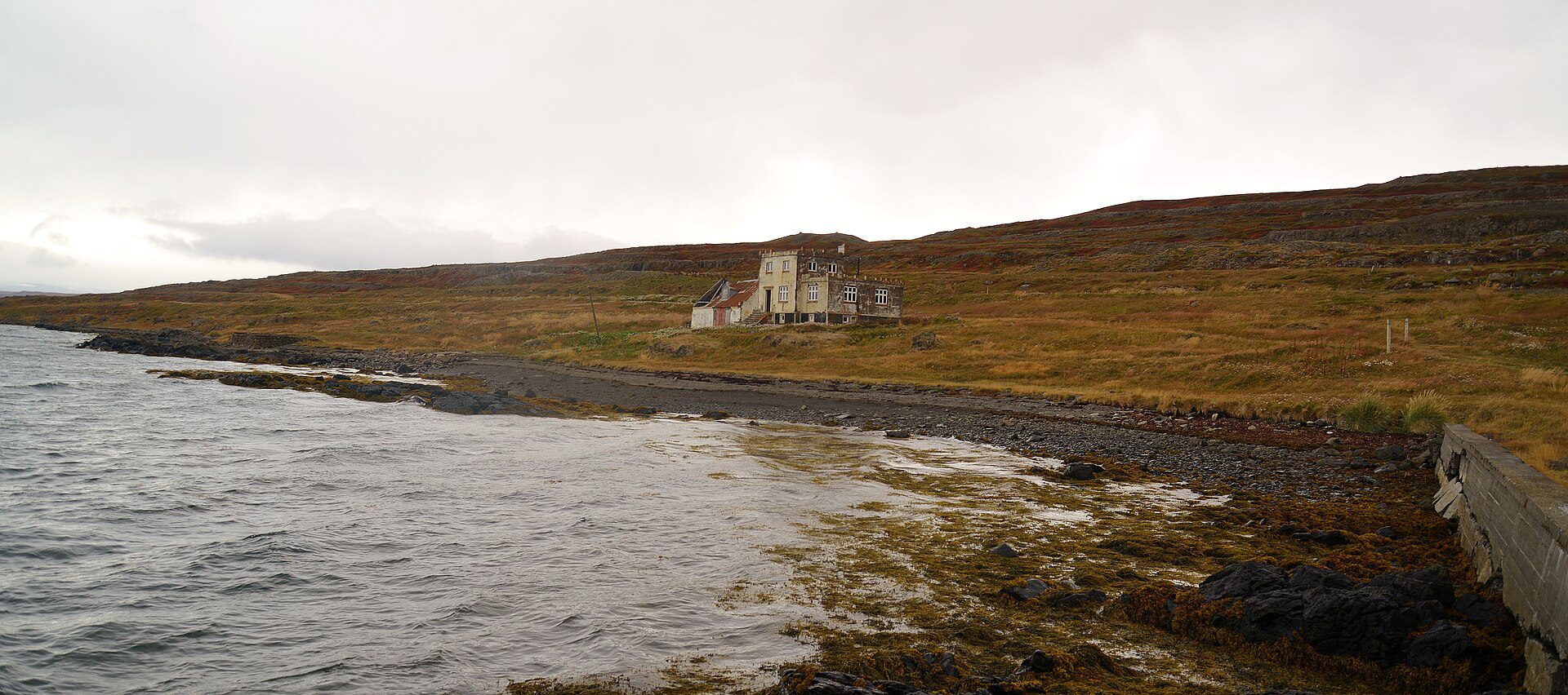
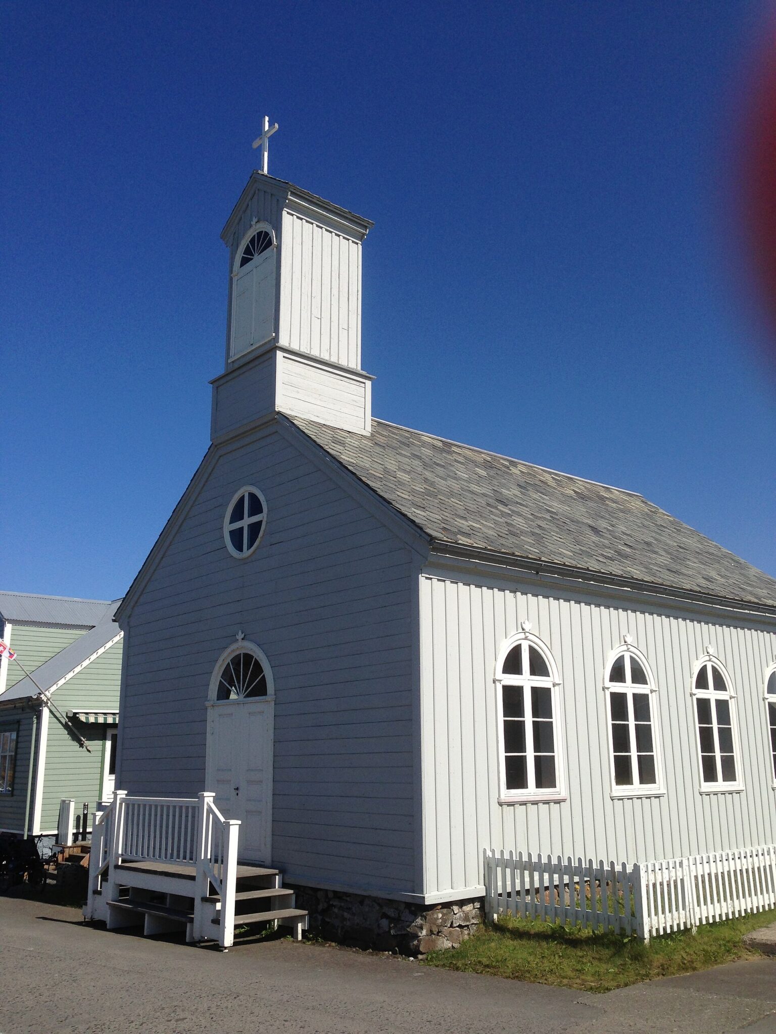
内斯卡普斯塔德
城市和城镇,户外
Neskaupsta´ur,Norqqjör´ur,东冰岛

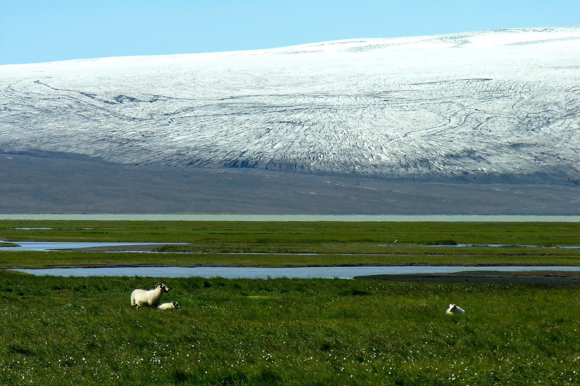
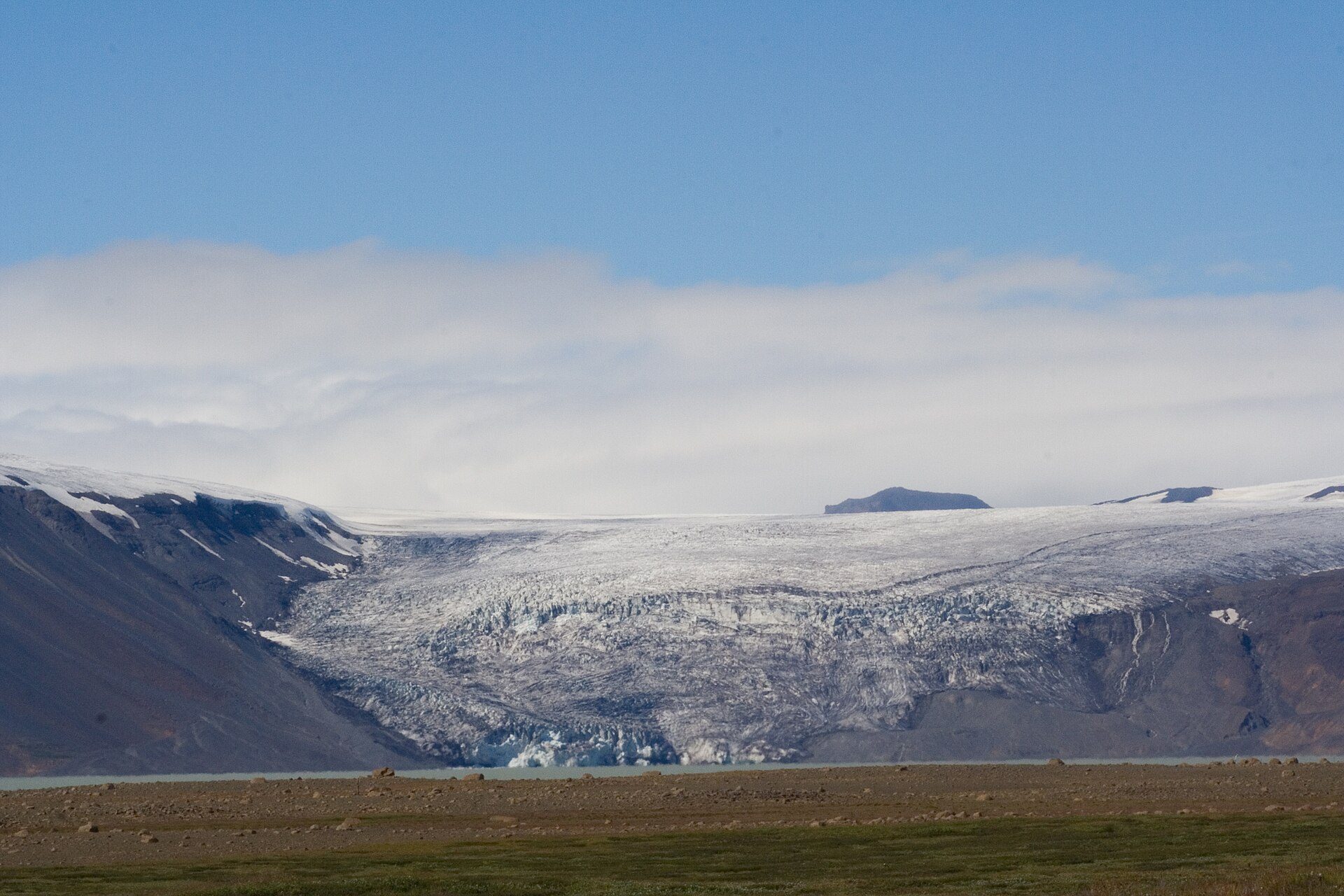
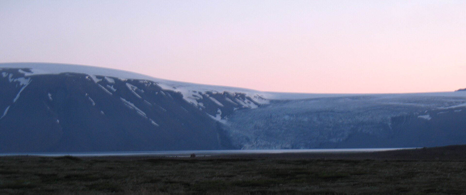
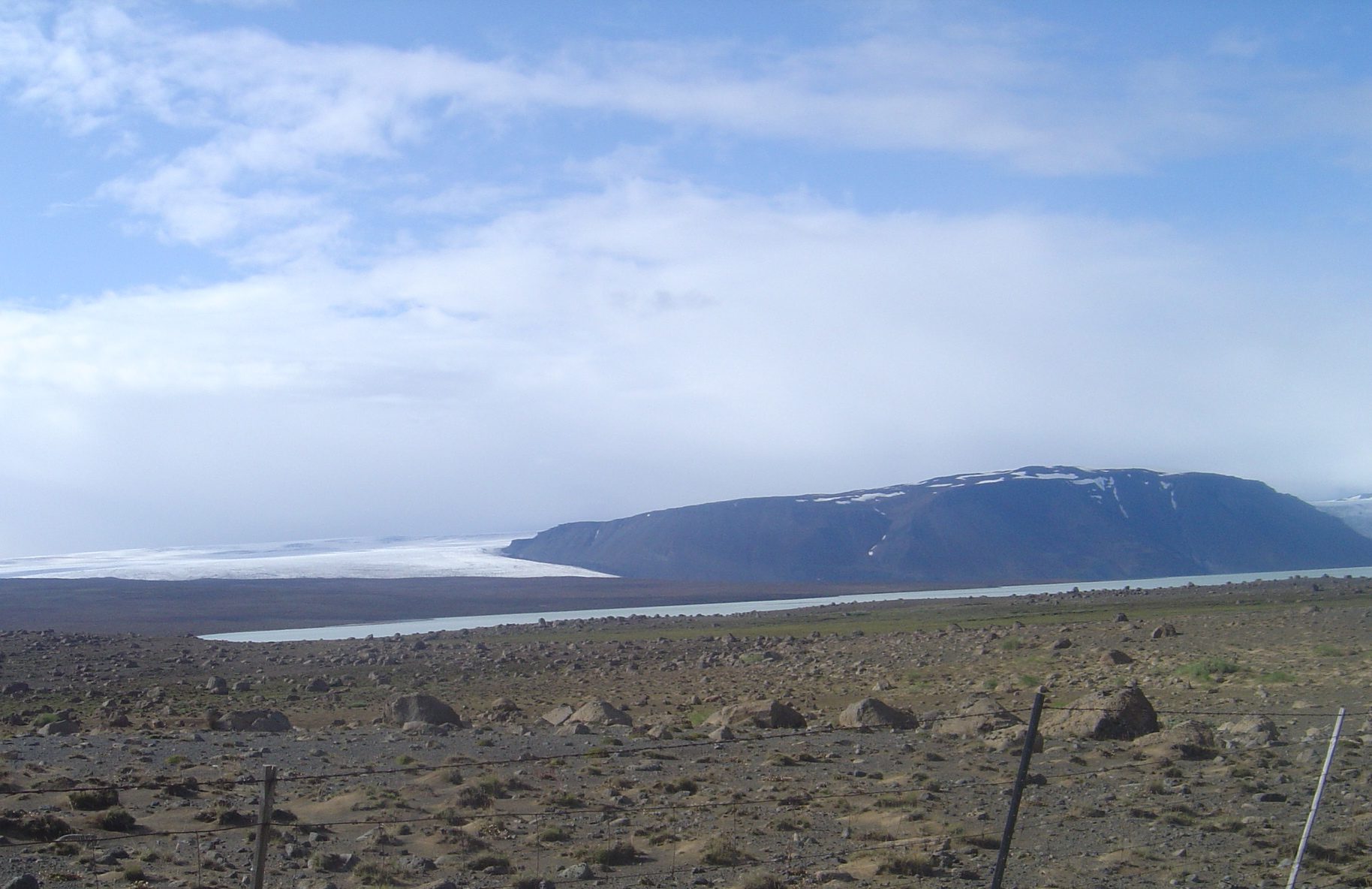
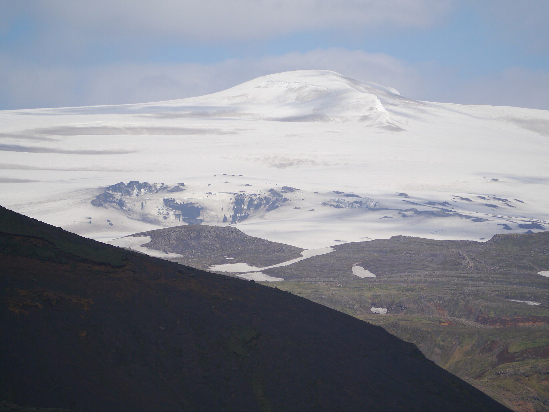
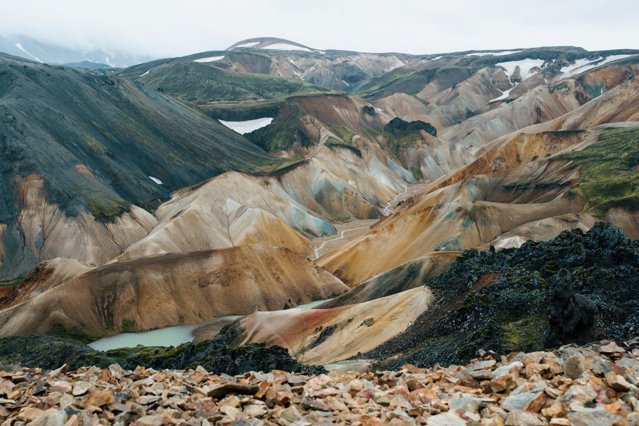
Hvítárvatn是一个偏远的高地湖泊,位于冰岛第二大冰川朗约库尔山脚下,海拔420 m。其30 km²的盆地从冰川的东南舌头捕获融水,在夏季,小冰山平静地漂浮在湖面苍白的绿松石—小得多,更安静的尺度上与约库萨隆的亲密回声。.
湖(Hvíta)的源头,最终翻滚翻过著名的海鸥瀑布(Gullfoss)向西,徒步在海鸥峰(Hvítarvatn)和海鸥瀑布之间的小屋到小屋小径是一条奖励多日的高地海岸,夏季是大天鹅和各种涉水鸟类的栖息地。.
6月中旬至9月下旬通常开放的Kjölur高地公路(F35)进入。强烈推荐使用4WD车辆。Hvítarnes小屋(夏季配备人员)坐落在湖岸上,为徒步旅行者提供基本住宿。.


旅行提示、新指南和极光预报看起来不错时的单挑。没有垃圾邮件。.