
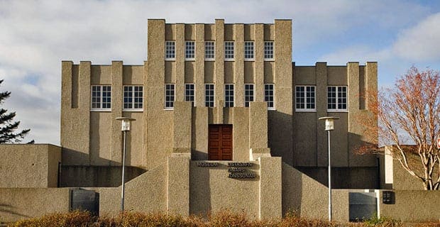
Das Einar Jónsson Museum
Museen
Das Einar Jónsson Museum, Eiríksgata, Reykjavík, Island

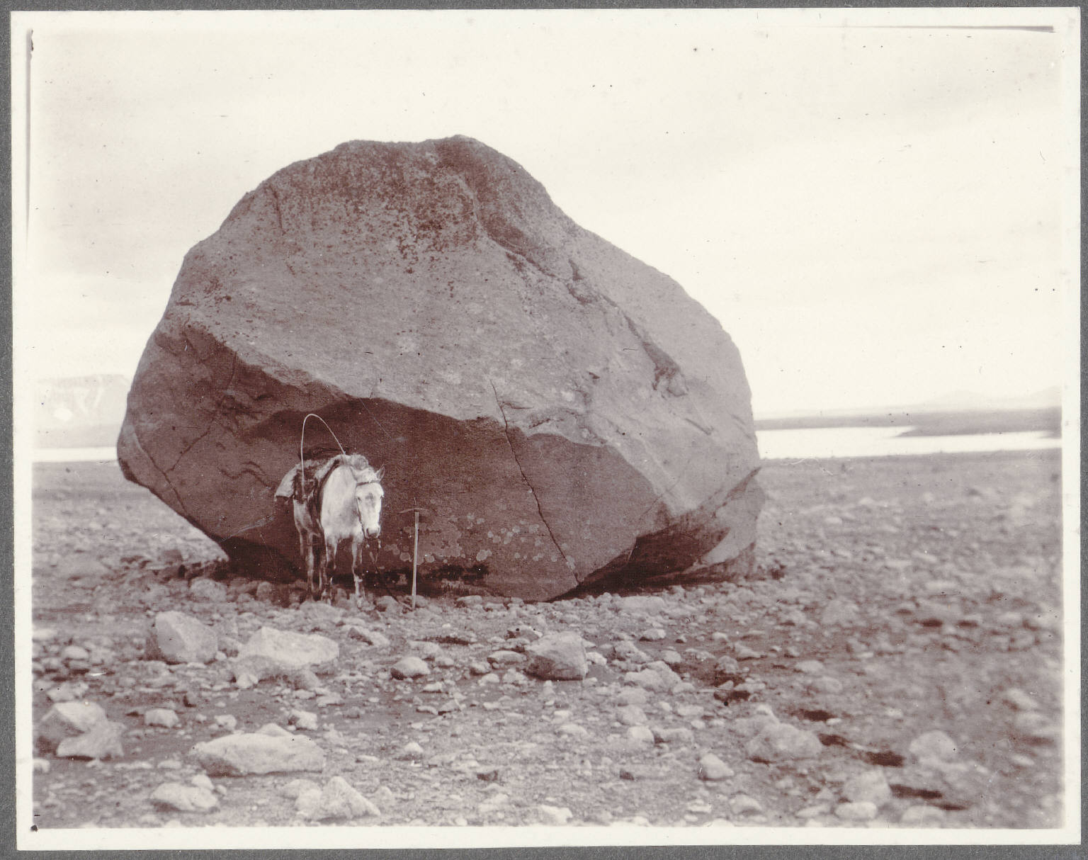
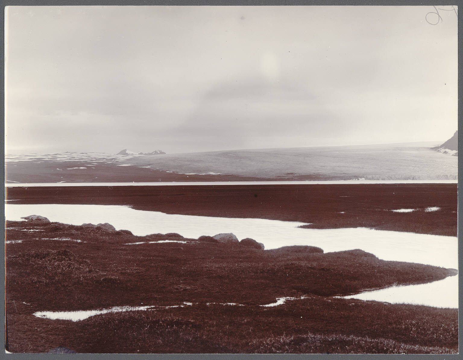
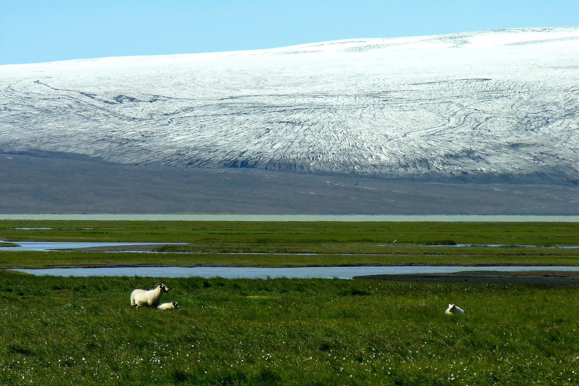
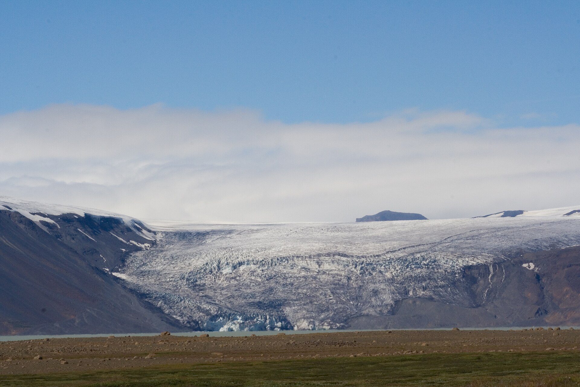
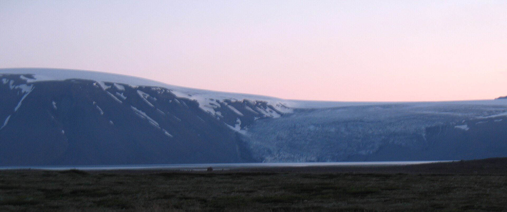
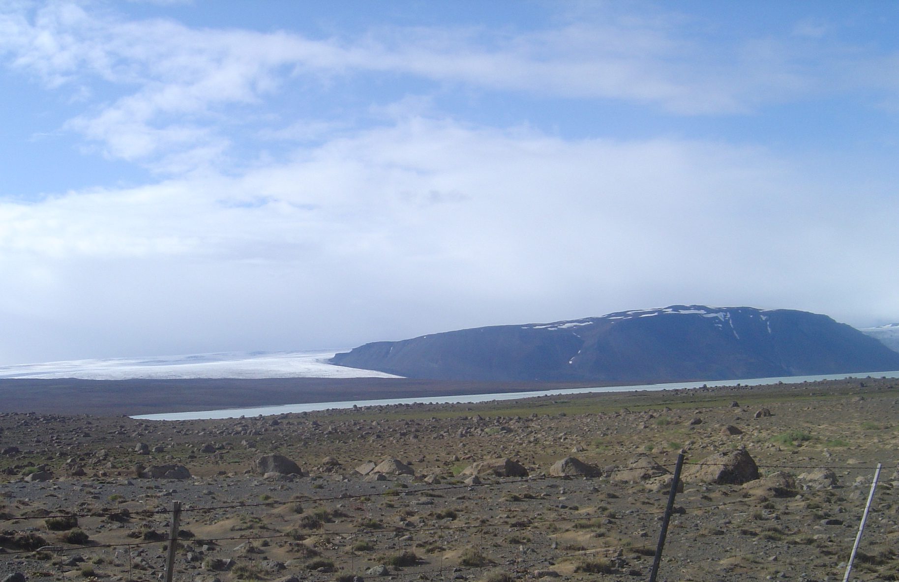
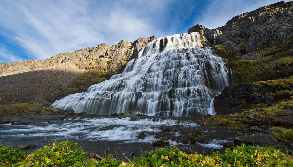
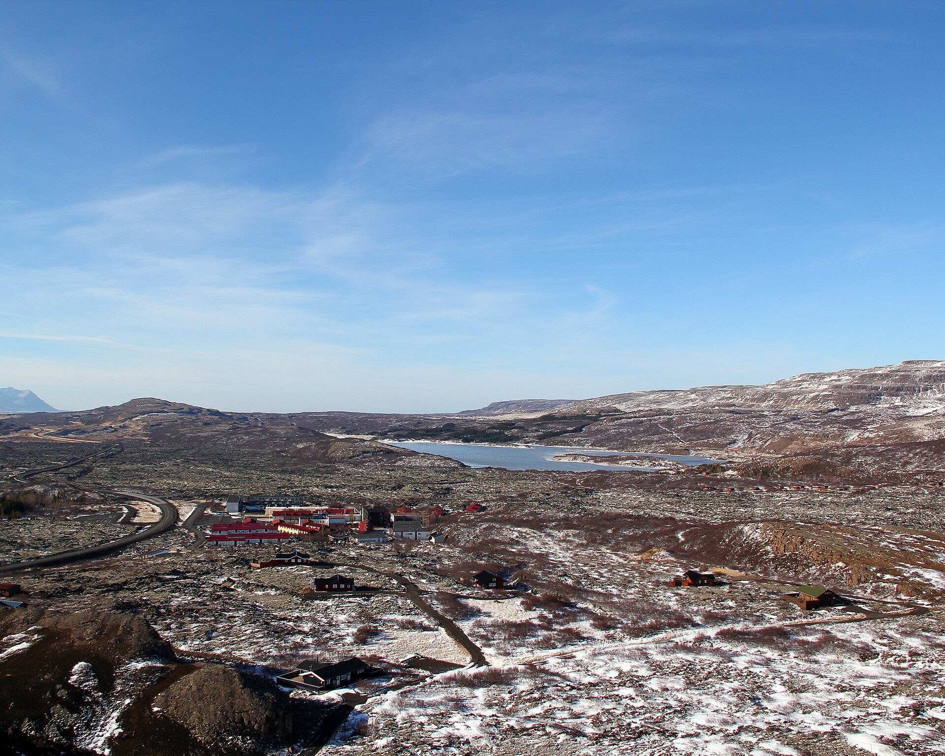
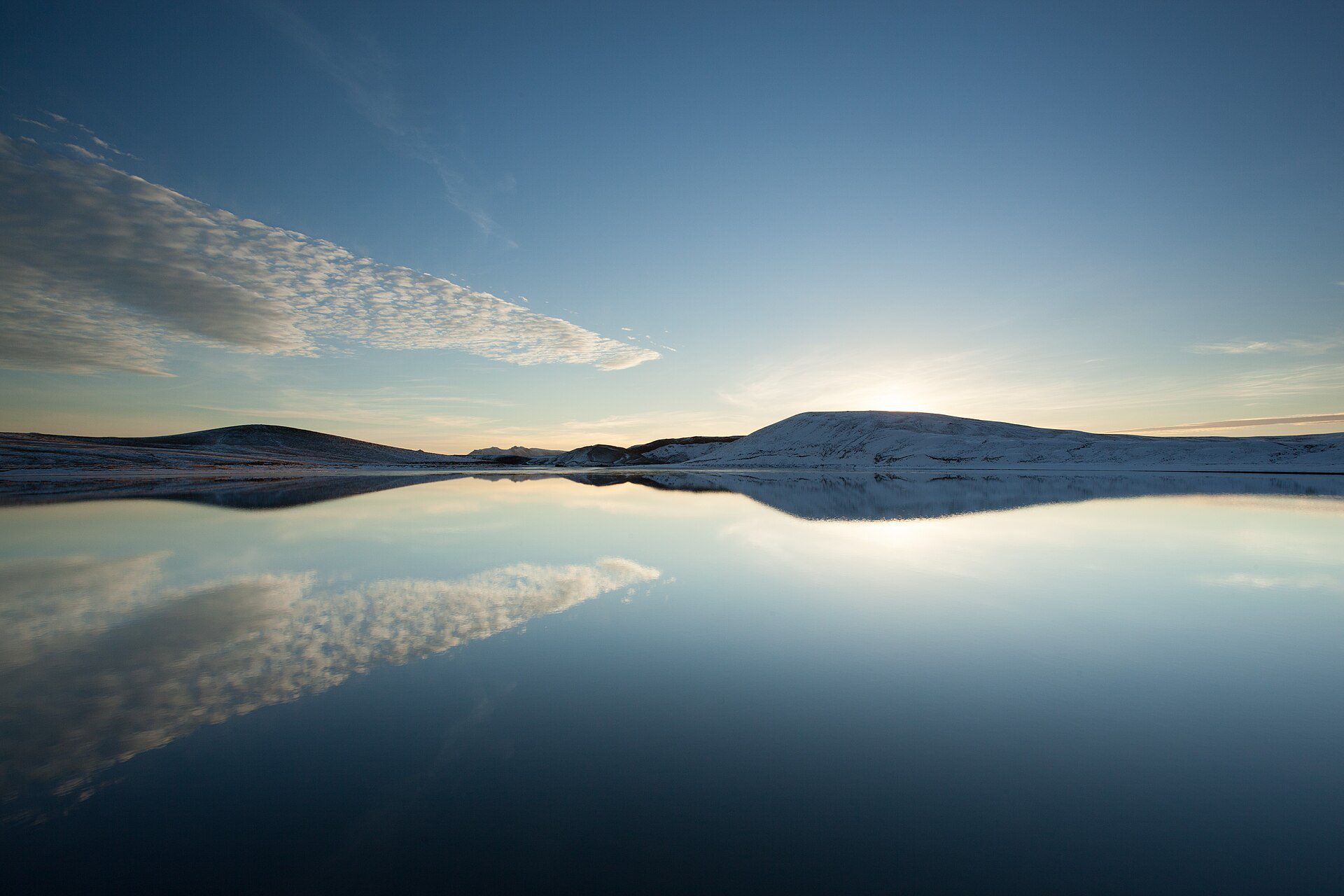
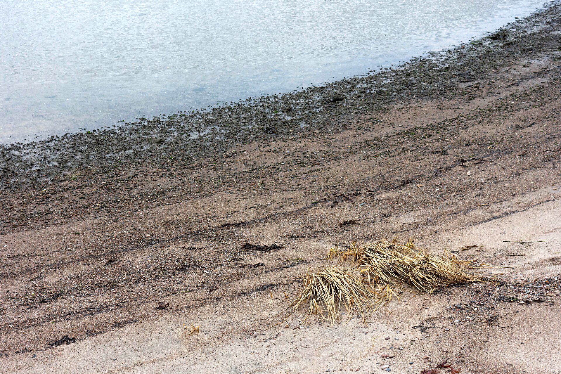
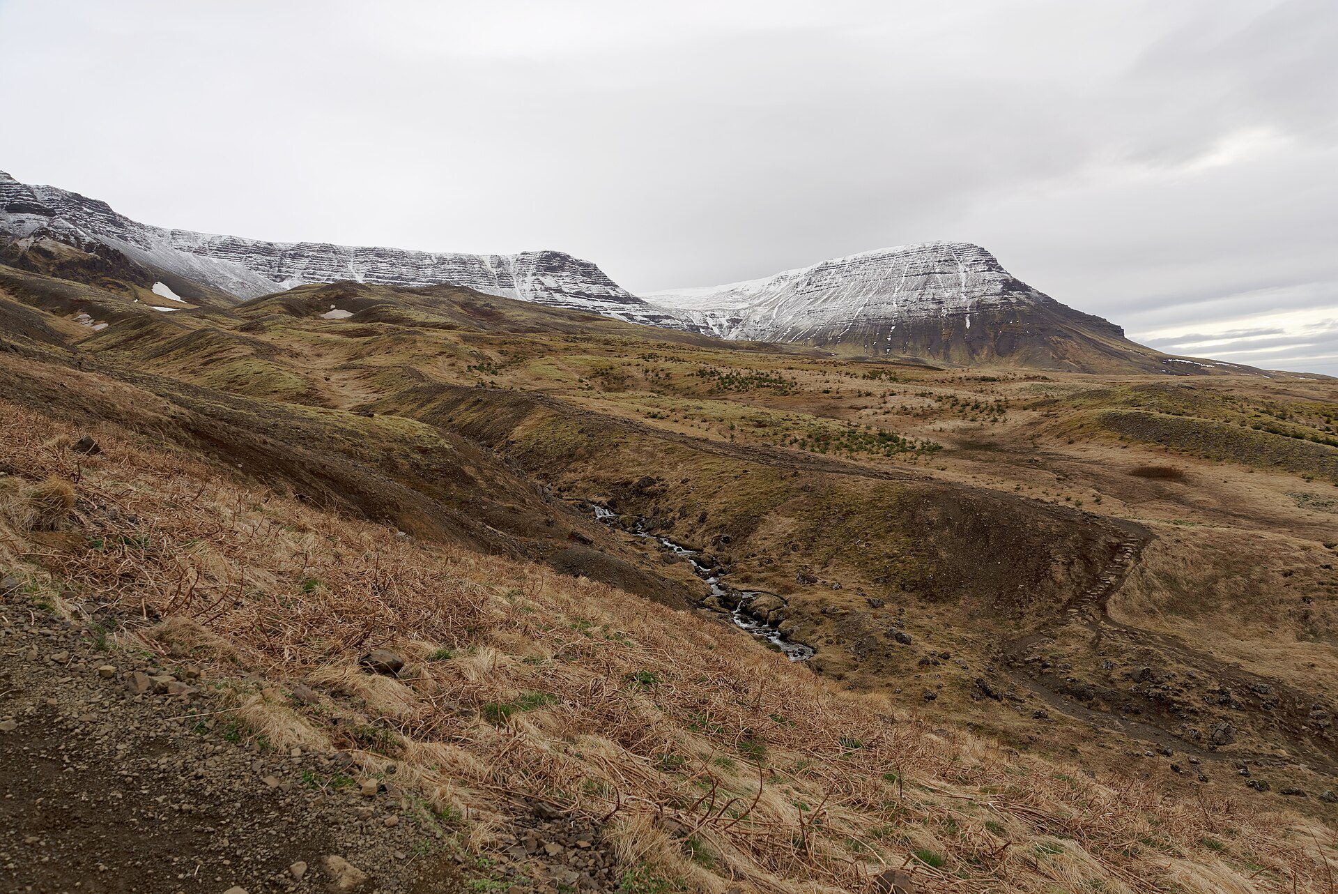
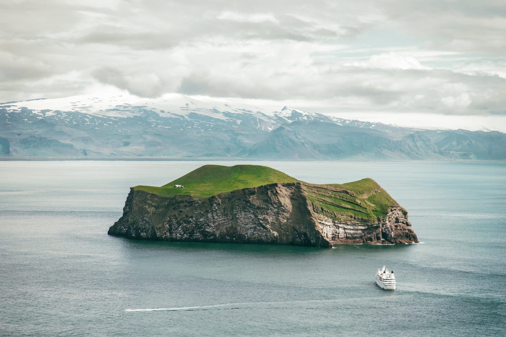
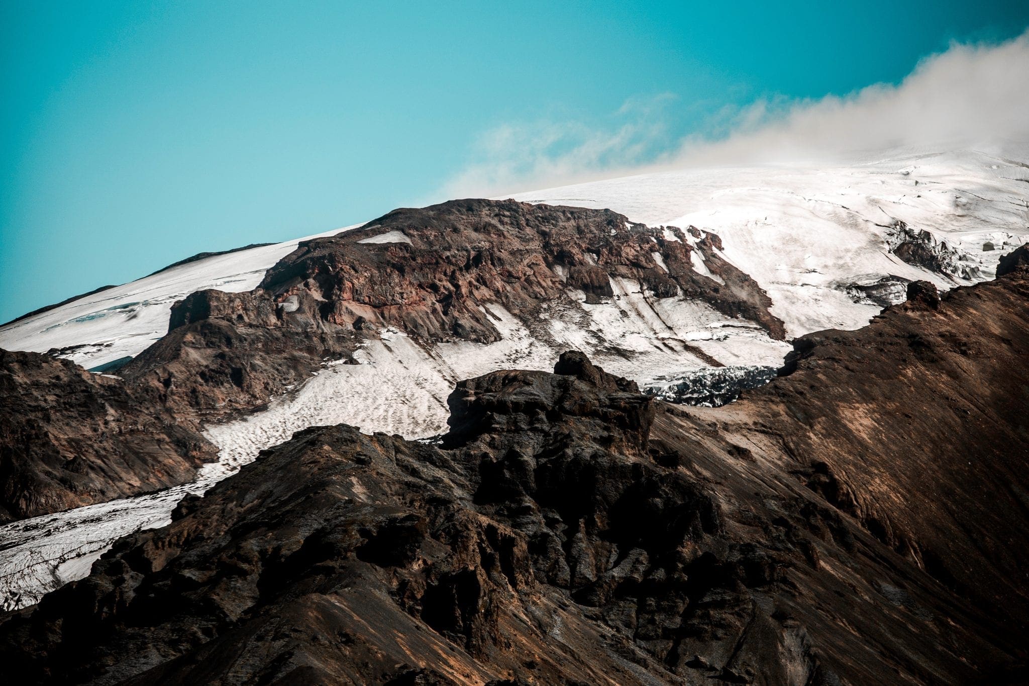
Hvítárvatn ist ein abgelegener Hochlandsee, der am Fuße des Langjökull, Islands zweitgrößtem Gletscher, auf einer Höhe von 420 m liegt. Sein 30 km² großes Becken fängt Schmelzwasser aus der südöstlichen Zunge des Gletschers auf, und im Sommer schwimmen kleine Eisberge heiter über die blass-türkise Oberfläche des Sees und erinnern an Jökulsárlón in weitaus kleinerem und ruhigerem Maßstab.
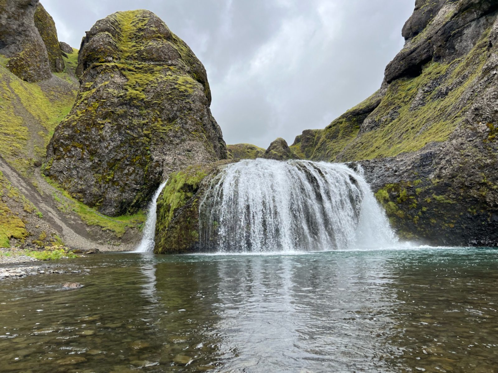
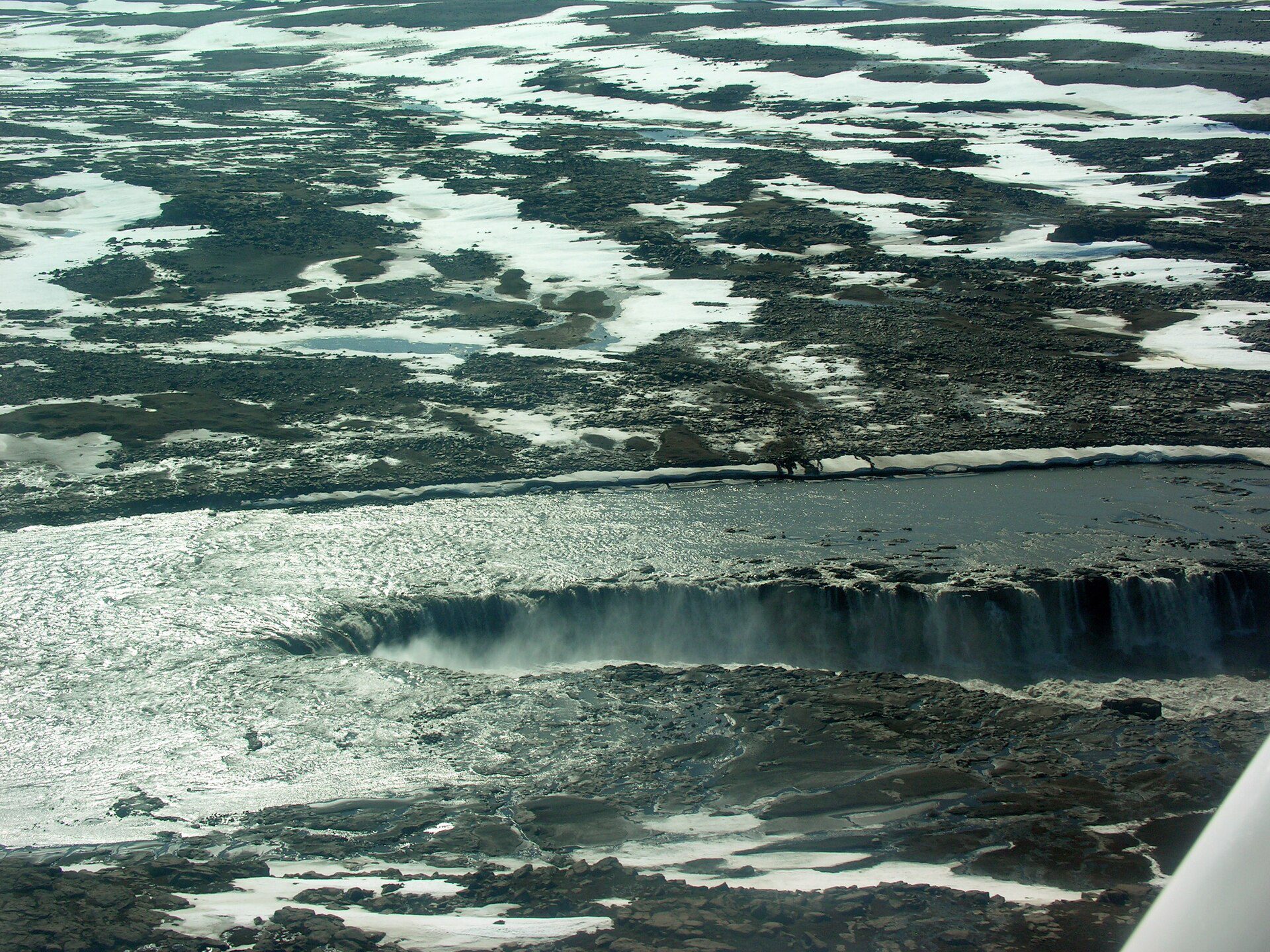
Der See ist die Quelle des Flusses Hvítá, der schließlich über den berühmten Wasserfall Gullfoss im Westen stürzt. Das Wandern auf dem Hüttenweg zwischen Hvítárvatn und Gullfoss ist eine lohnende mehrtägige Hochlandroute. An den Ufern gibt es im Sommer Singschwäne und eine Vielzahl von Watvögeln.
Die Zufahrt erfolgt vor allem über die Hochlandstraße Kjölur (F35), typischerweise von Mitte Juni bis Ende September geöffnet, ein 4 WD-Fahrzeug wird dringend empfohlen Die Hvítárnes-Hütte (im Sommer besetzt) liegt am Seeufer und bietet eine Grundunterkunft für Wanderer.
Reisetipps, neue Guides und ein Heads-up, wenn die Polarlichter-Prognose gut aussieht Kein Spam.