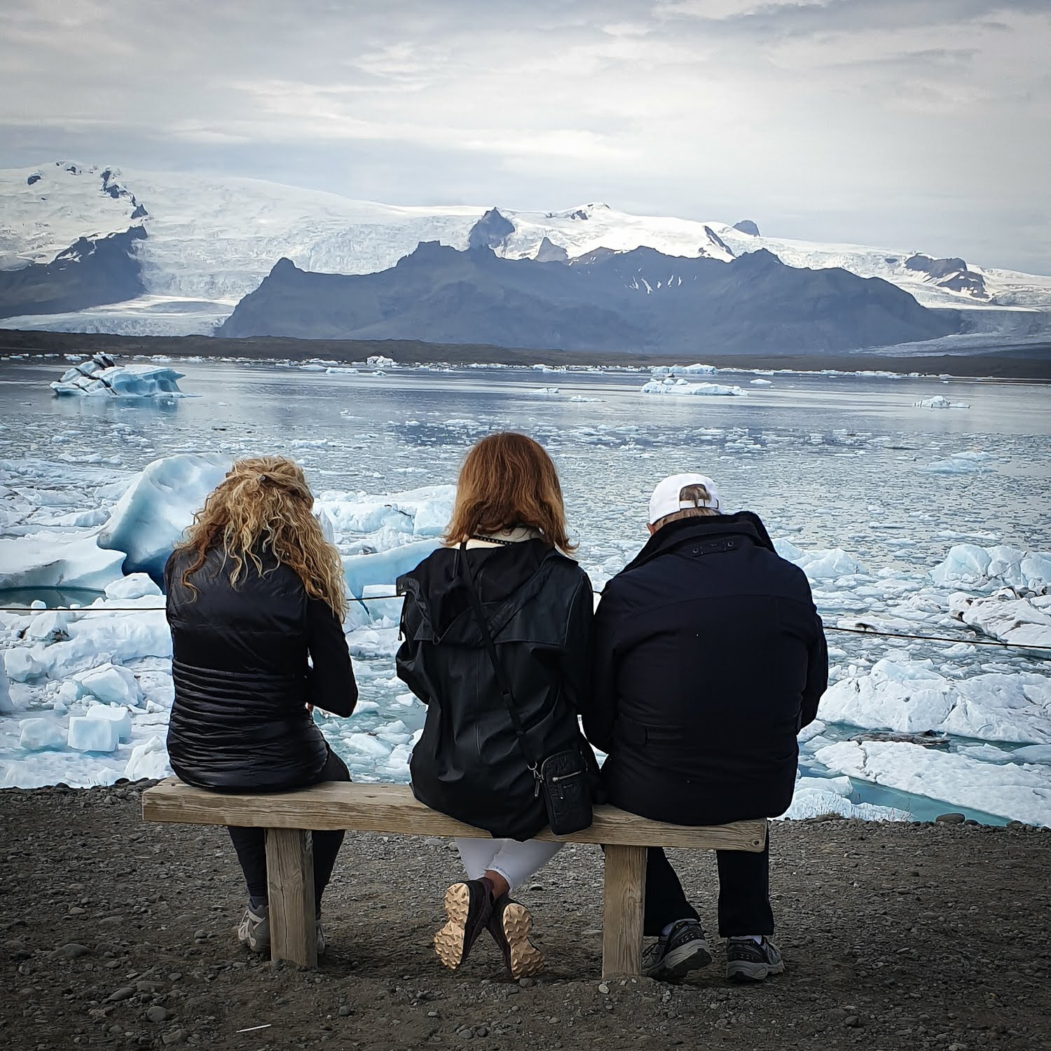
Logo des attractions de Reykjavik

Mission scientifique citoyenne de cartographie du glacier Krossárjökull

Mission scientifique citoyenne de cartographie du glacier Krossárjökull
Difficulté

Modéré

Durée
8 heures
Prix à partir de

374.988 ISK

Mission scientifique citoyenne de cartographie du glacier Krossárjökull

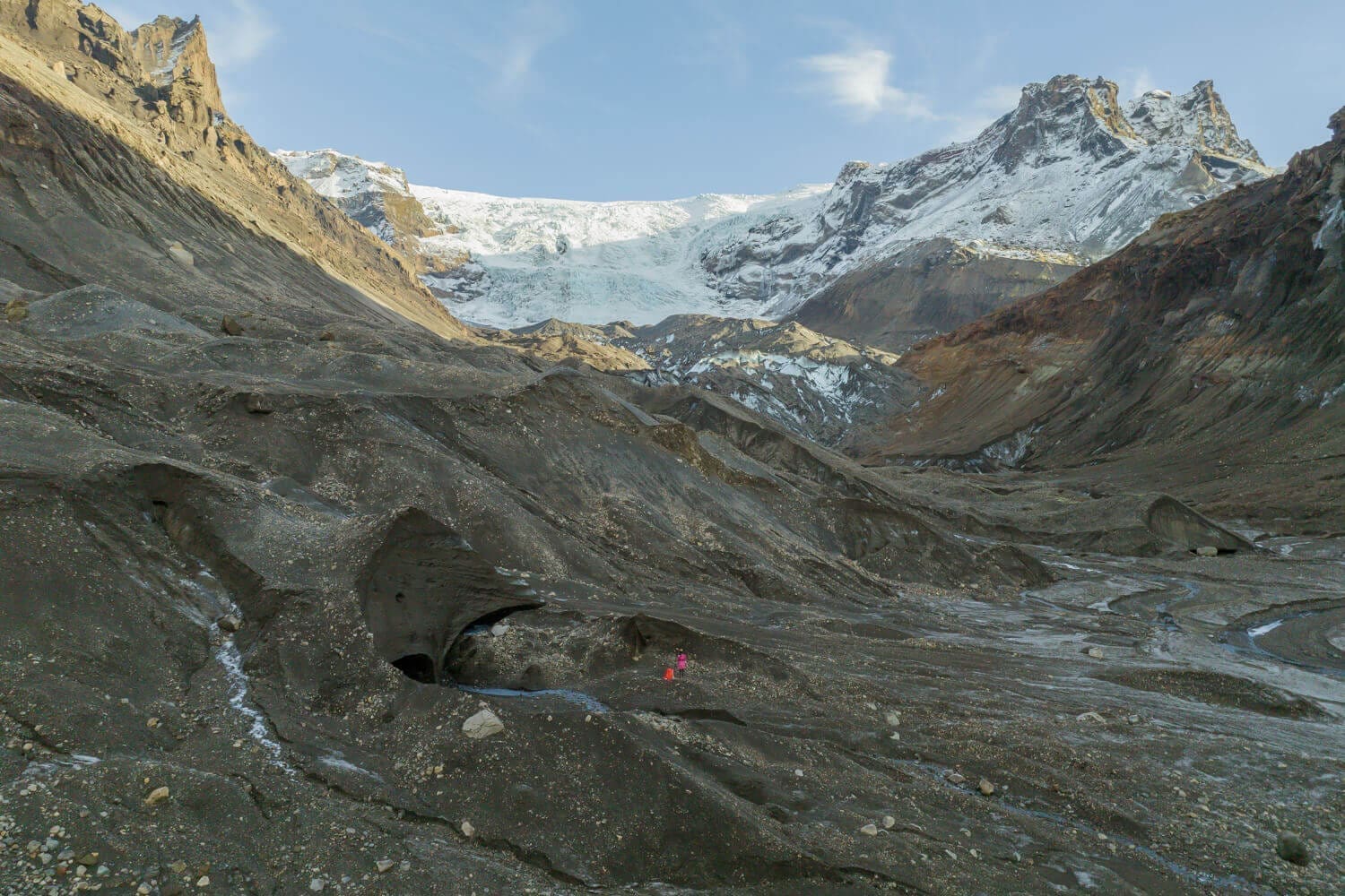
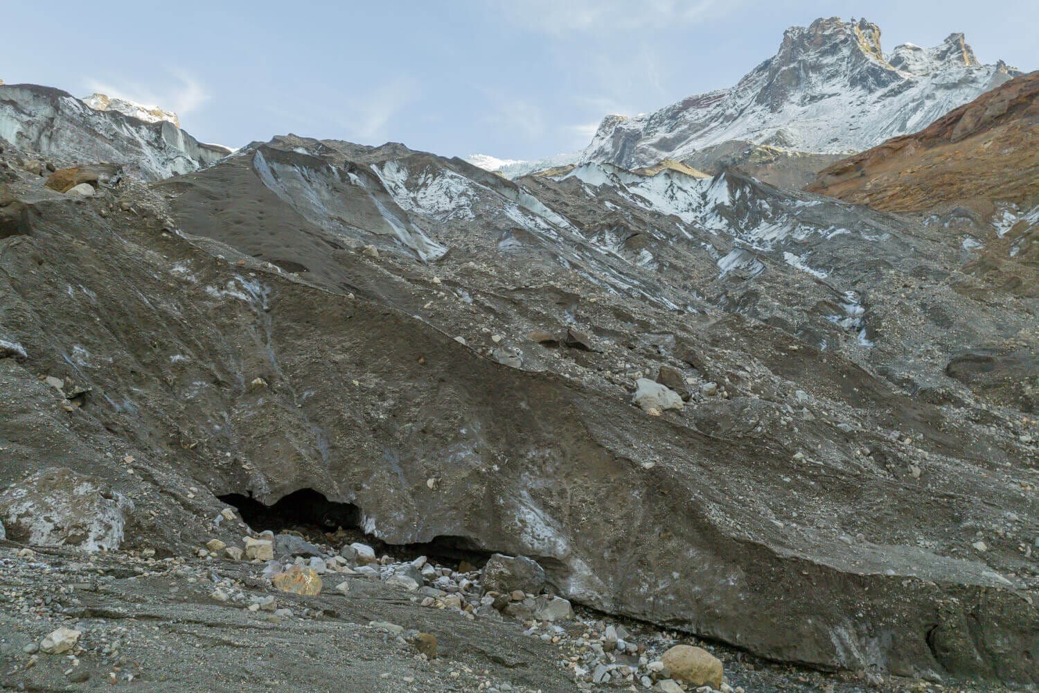
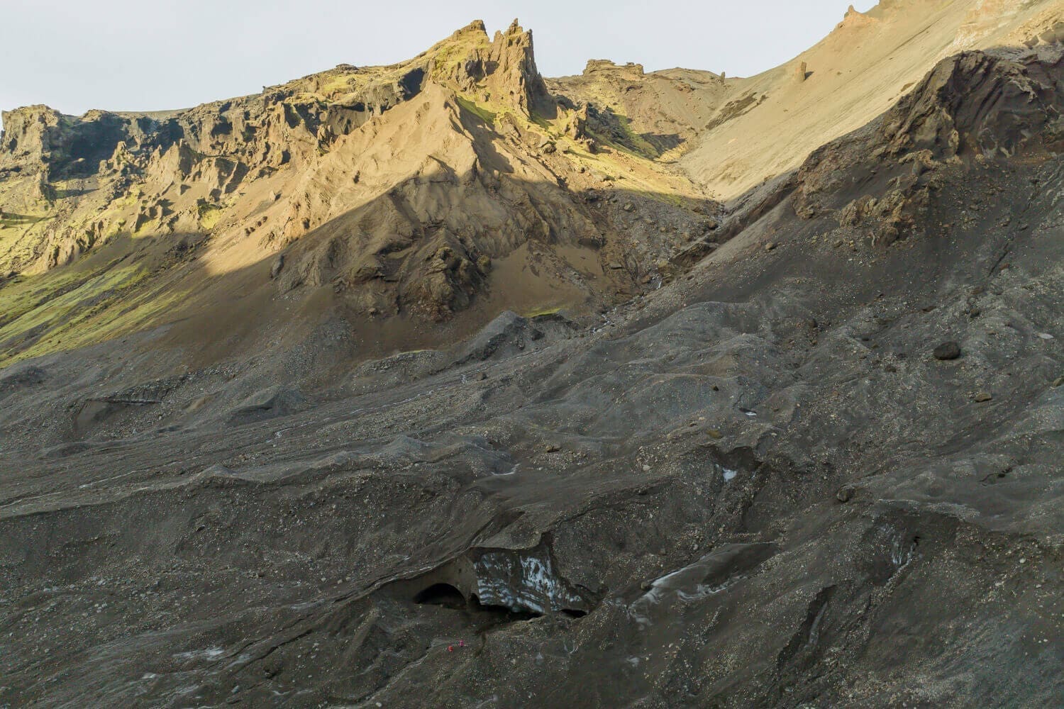
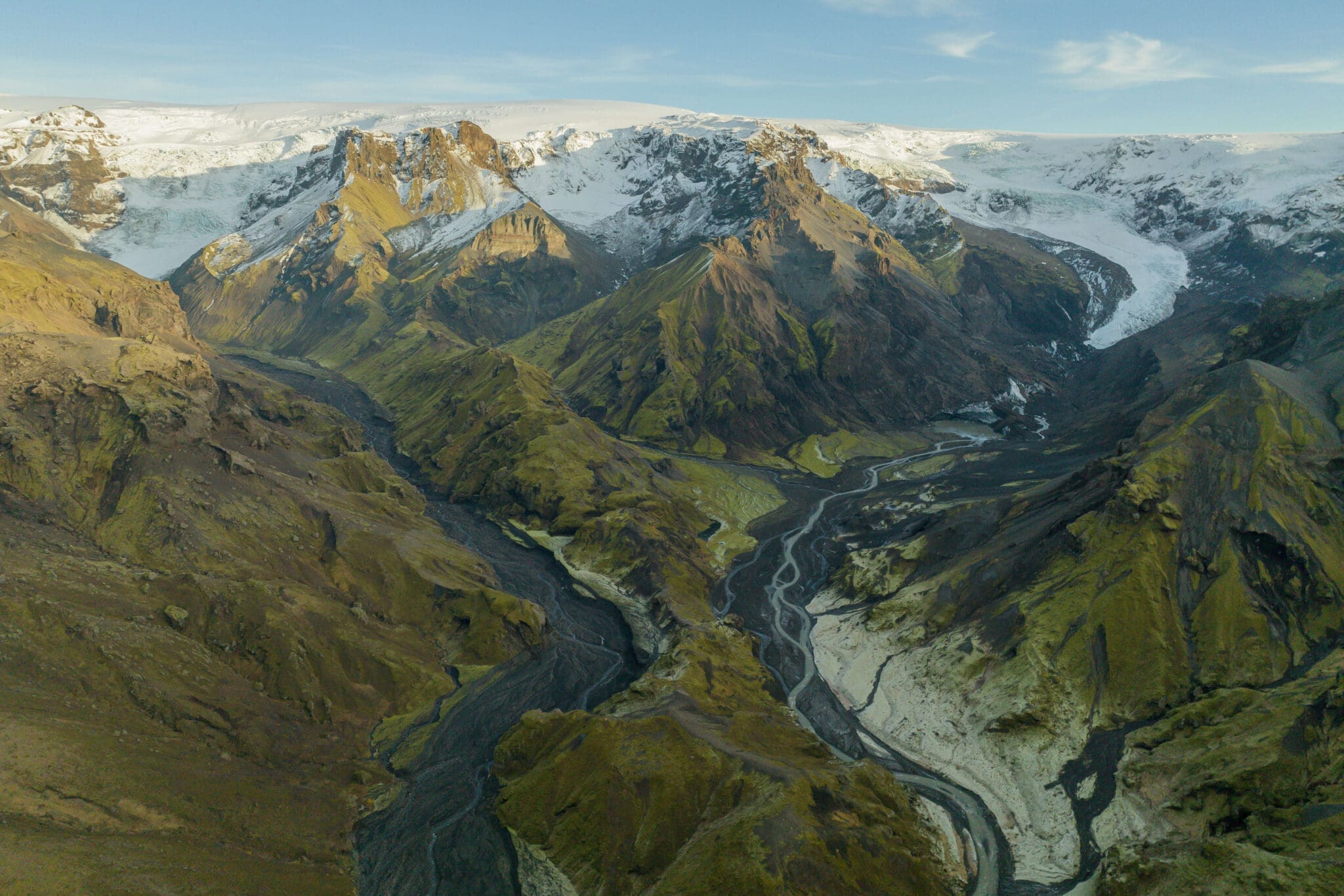
Krossárjökull Glacier Outlet Mapping Expedition Itinerary:

  • Départ matinal: You'll meet in the town of Hvolsvöllur to embark on a super unique day of Scientific research.  Next, you'll take an inspiring ride through Thórsmörk to reach the canyon where Krossárjökull is accessed.

  • Hiking to Krossárjökull Glacier Outlet: Jump out of your 4×4 and be greeted with the most serene views and no tourists!  Before you start your 1-1.5 hour hike one way to the glaciers domain.  Note: There are river crossings that must be done by foot.  They vary in size and height (ankle to thigh high).  The driver will set a rope for additional guidance if needed.

  • Guided Glacier Area Trek: Arriving to the glaciers edge, you'll witness a dead ice and be enthralled by this unknown area that is unknown to most.

  • Be a Citizen Scientist: Next, you'll start mapping the glacier and/or dead ice.  Further, your data will contribute to ongoing research studies.

  • Pause déjeuner avec vue : Delight in your packed lunch in an area even locals don't venture to!  Bask in the epicness and solitude.

  • Aperçus géologiques : Throughout the expedition, your guide will provide insights into the geological significance of the glaciers within Katla Geopark, explaining how the areas are all interconnected.

  • Descente et retour : After completing the glacier mapping experience, make your way through the canyon to hike back to the 4×4.  Reflect on the impactful experiences and data you created during the return hike.

  • Scenic Drive Retour : Conclude your day with a beautiful 4×4 drive back to your drop-off location, passing through the picturesque landscapes of Thórsmörk.  You'll take home irreplaceable moments and a deeper understanding of our dynamic glaciers in Iceland.

  • Results & Take Aways: Staff from Katla Geopark will process your Krossárjökull Mapping findings and share them with you in a report days after the adventure.  Results and Citizen Science Certificate will be formally emailed.

What’s Included in the Krossárjökull Glacier Mapping Citizen Science Mission:

  • 8-10 hour Expedition from Hvolsvöllur
  • Guide de conduite professionnel agréé
  • Mémoire de contexte pédagogique
  • 4×4 Montez jusqu'à l'Outlet Glacier
  • Tous les équipements scientifiques et de sécurité des glaciers nécessaires
  • Round-trip transportation from the town of Hvolsvöllur
  • Certificat de scientifique citoyen du géoparc de Katla
  • Résultats traités envoyés par courrier électronique
  • Nom Publié dans un rapport sur un géoparc
  • Mises à jour des données en cours par e-mail

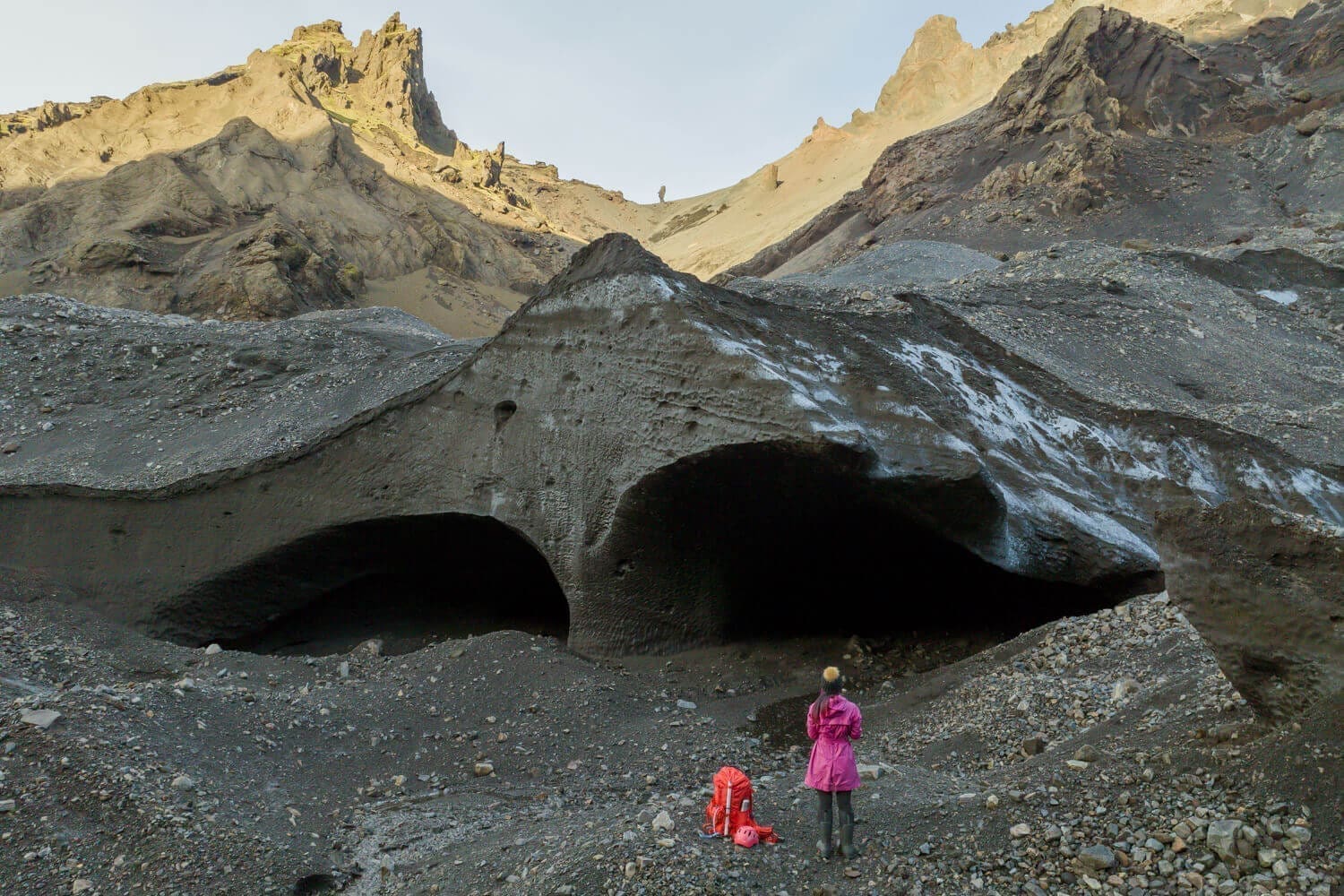
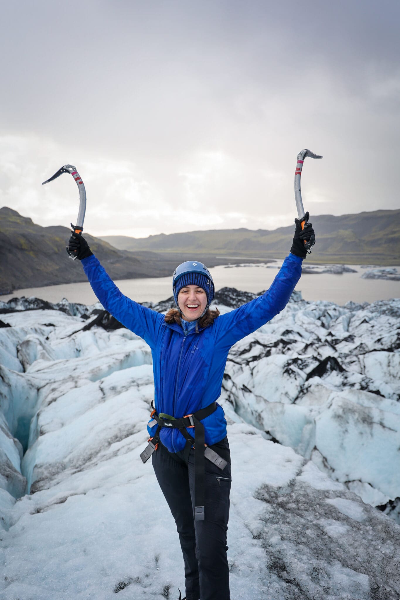
Bottes de randonnée Wear

'suncreen'/Lunettes de soleil'

[TRADUCTION] ?Vêtements de bras en couches (peu importe la période de l'année)

'Rain'ear'

[TRADUCTION] ?Préparé à être à l'extérieur de tout le temps

Veuillez noter

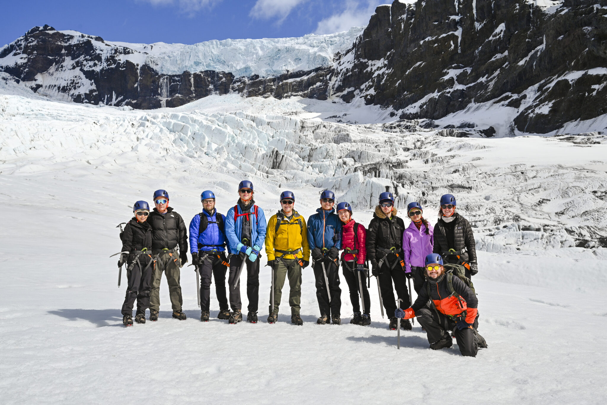
Krossárjökull Glacier Mapping Expedition Specifics:

Expedition Duration: Approximately 10 hours (including travel time)

Niveau de difficulté : Moderate with Foot River Crossings (suitable for physically fit participants with a sense of adventure)

Départ: From Hvolsvöllur

Availability: April – October (depending on conditions could have flexibility)

Group Size: Limited to 1-4 people (6 person max)

Age Requirement: From 10 years old (or case by case)

En route pour une autre aventure ?

Voir toutes les visites
© 2026 Bonjour au revoir ehf. Tous droits réservés.