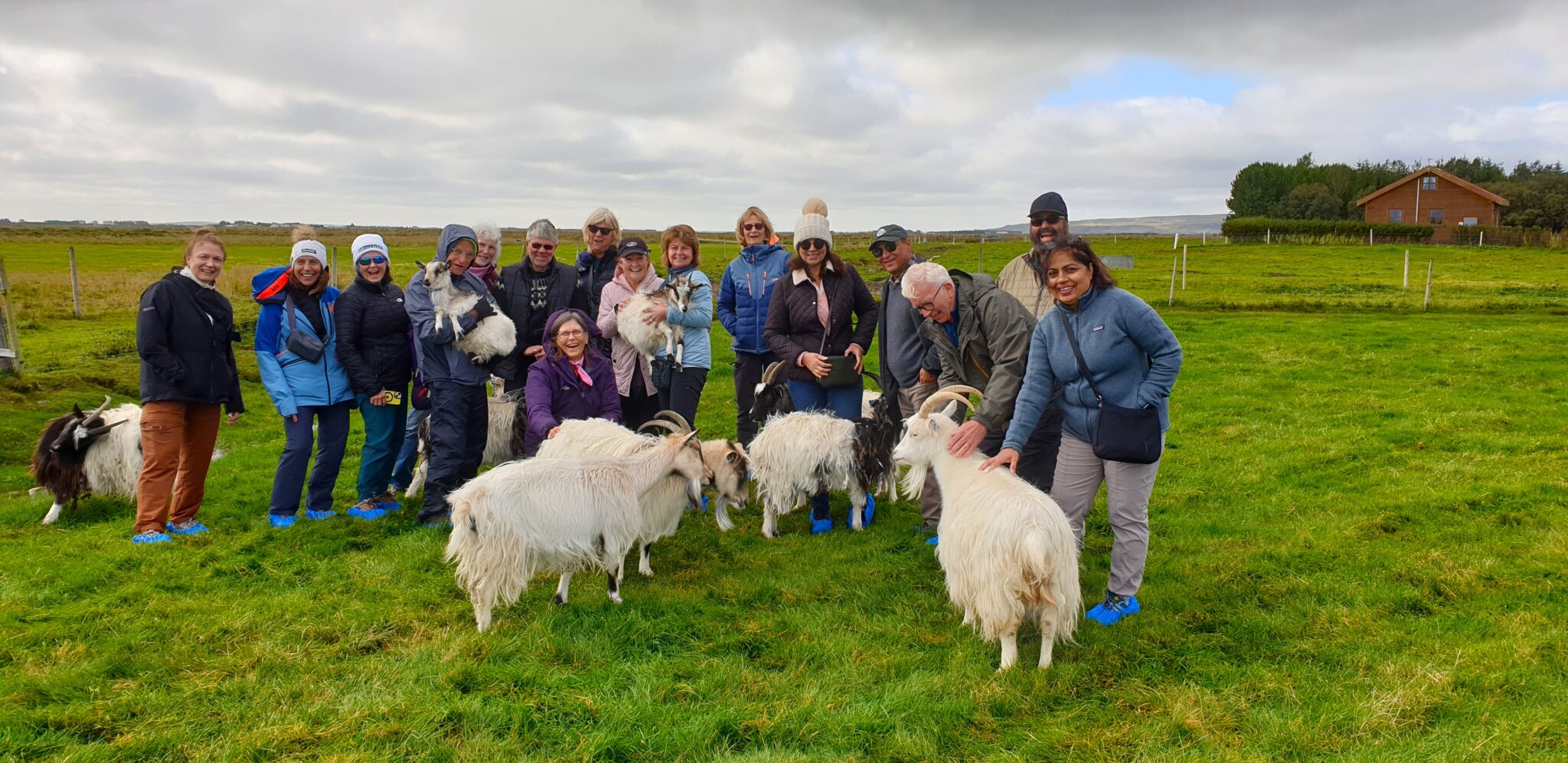
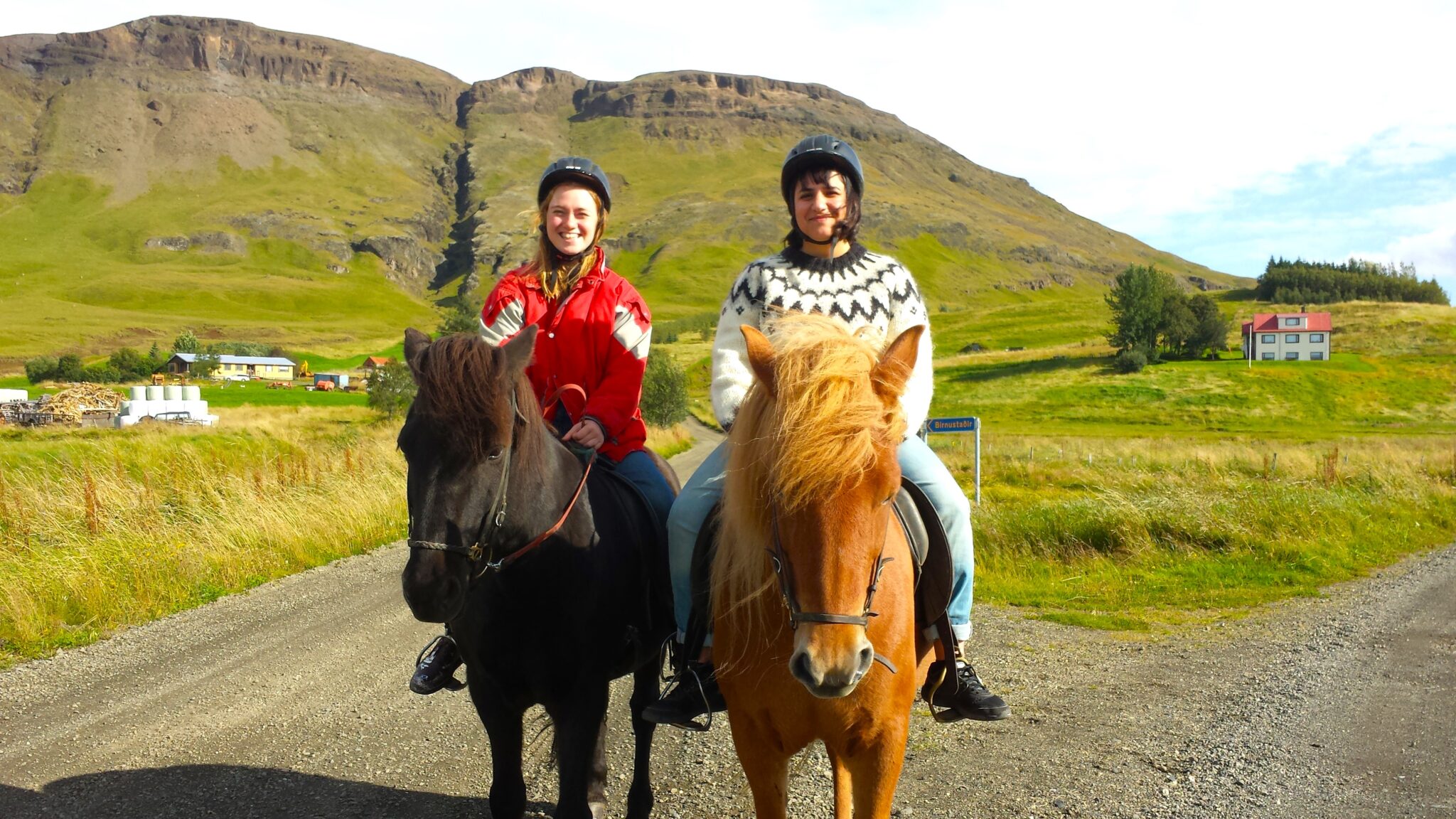
Wizyta na farmie
15.000 ISK
1 godzina


Łatwy
18.000 ISK
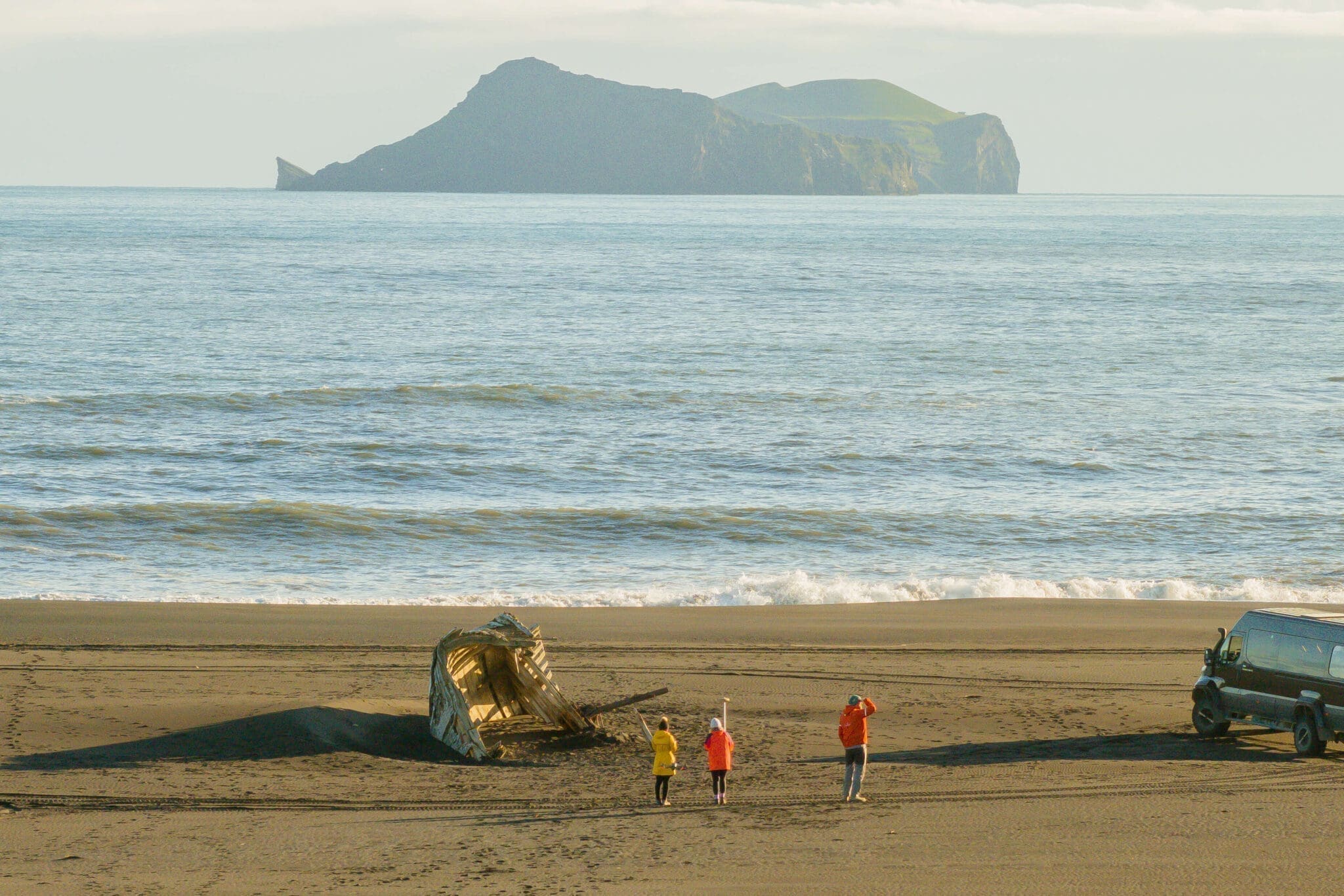
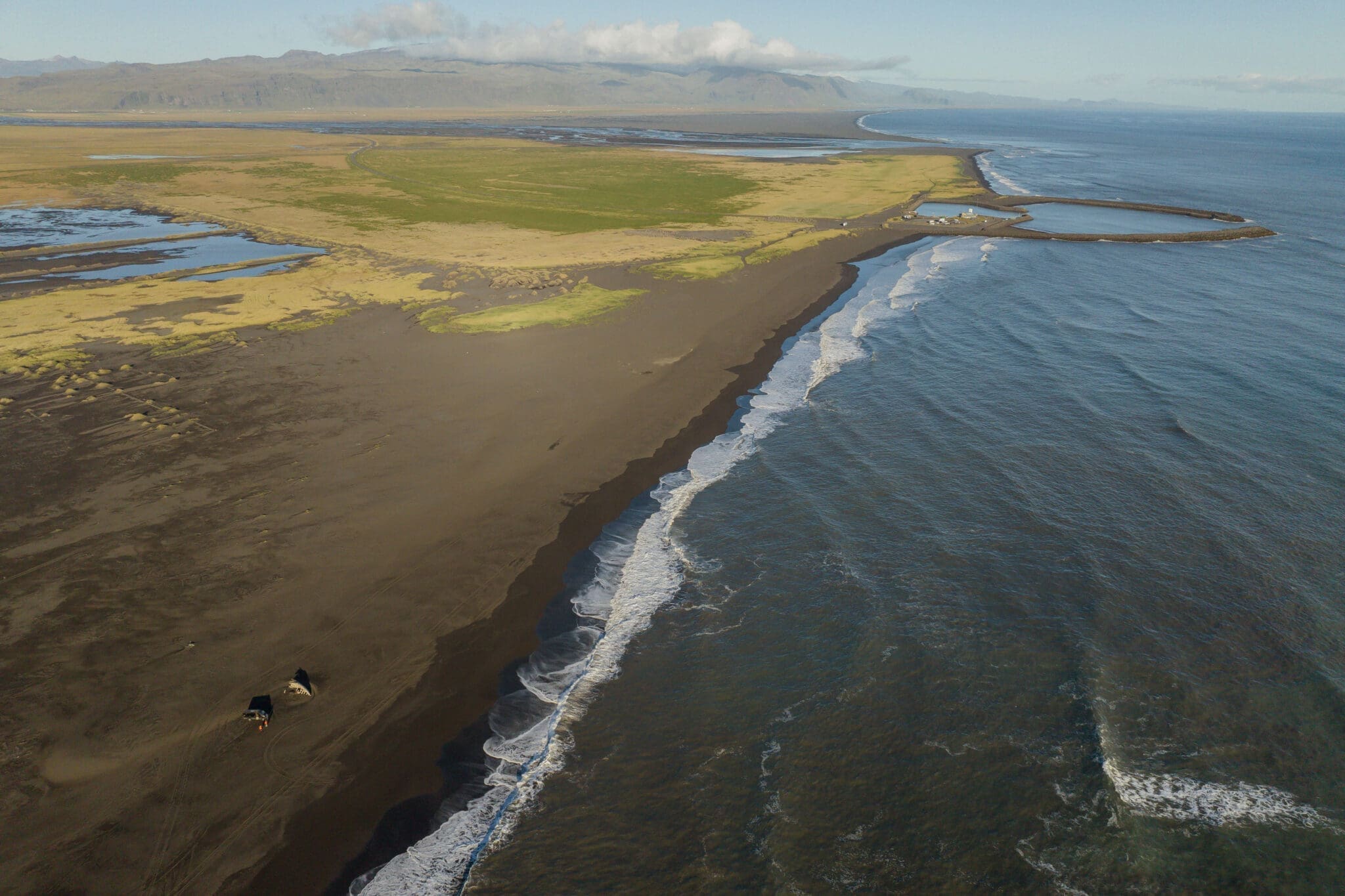
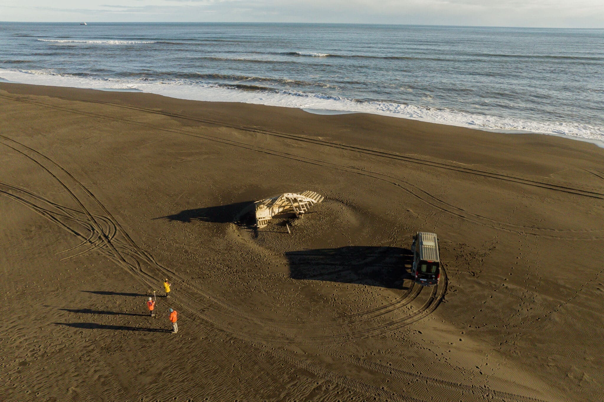
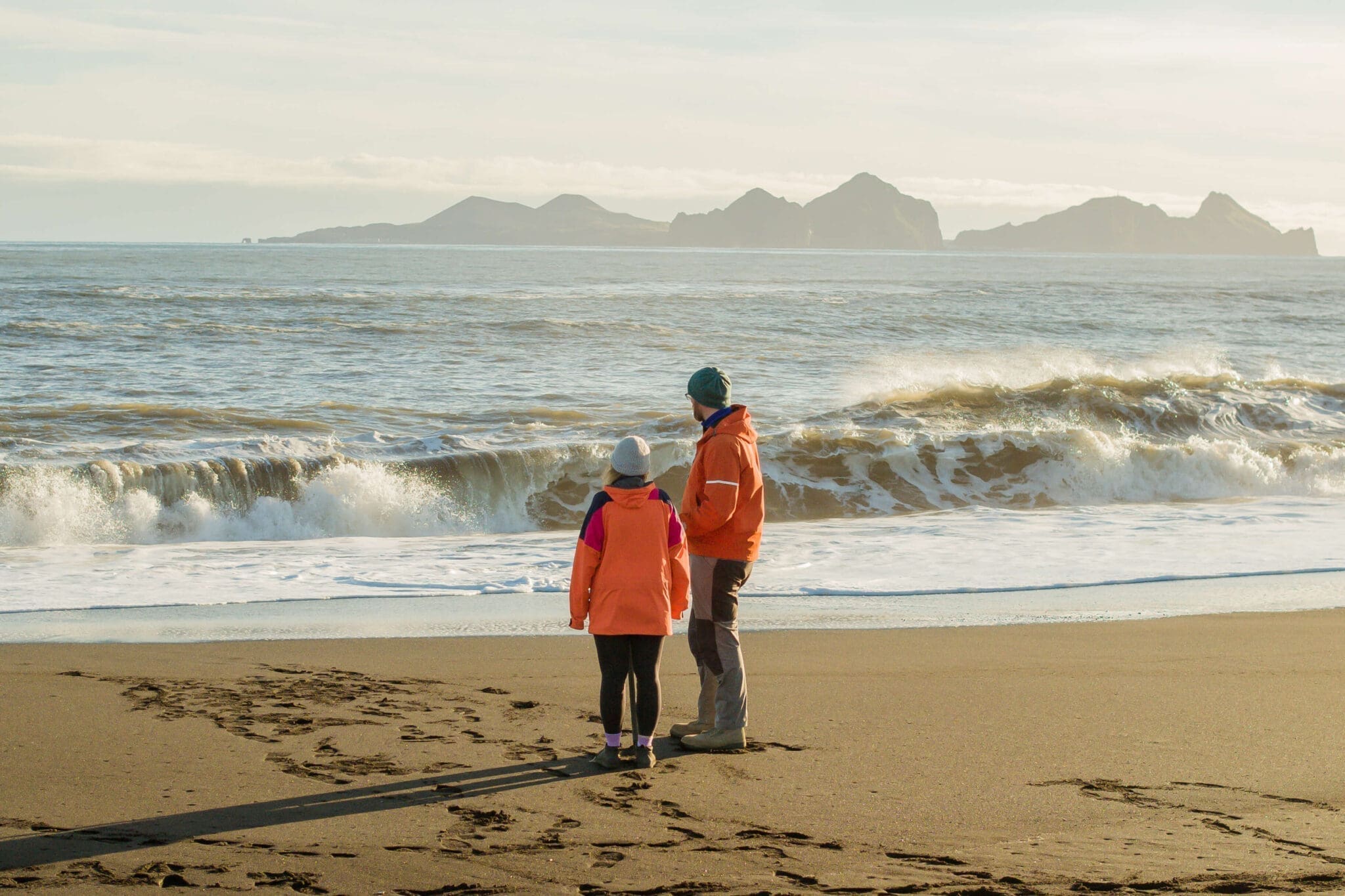
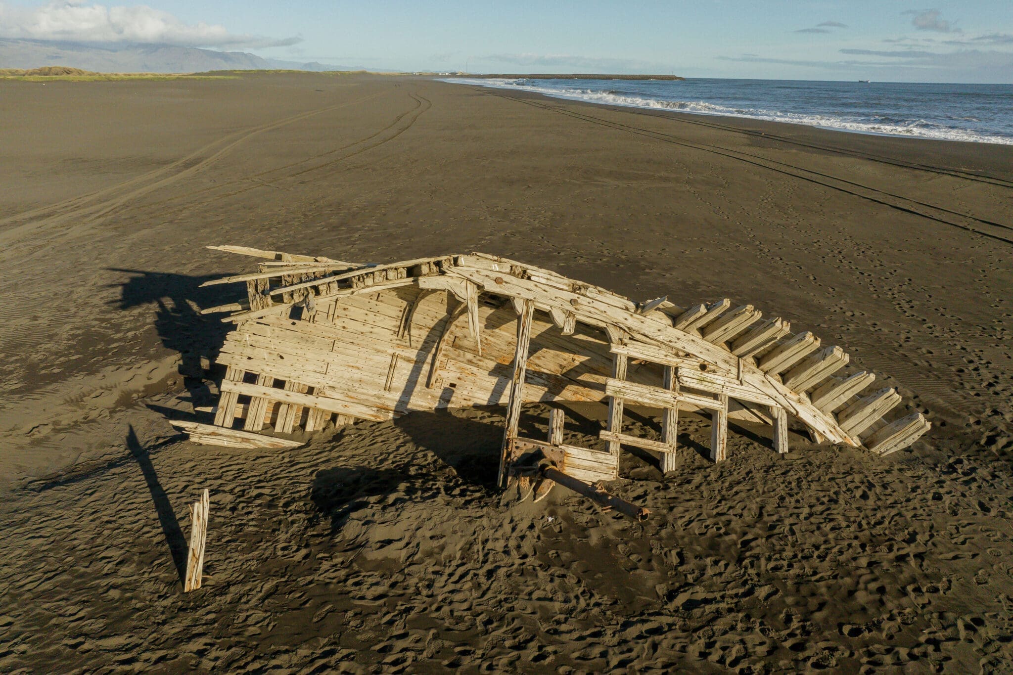
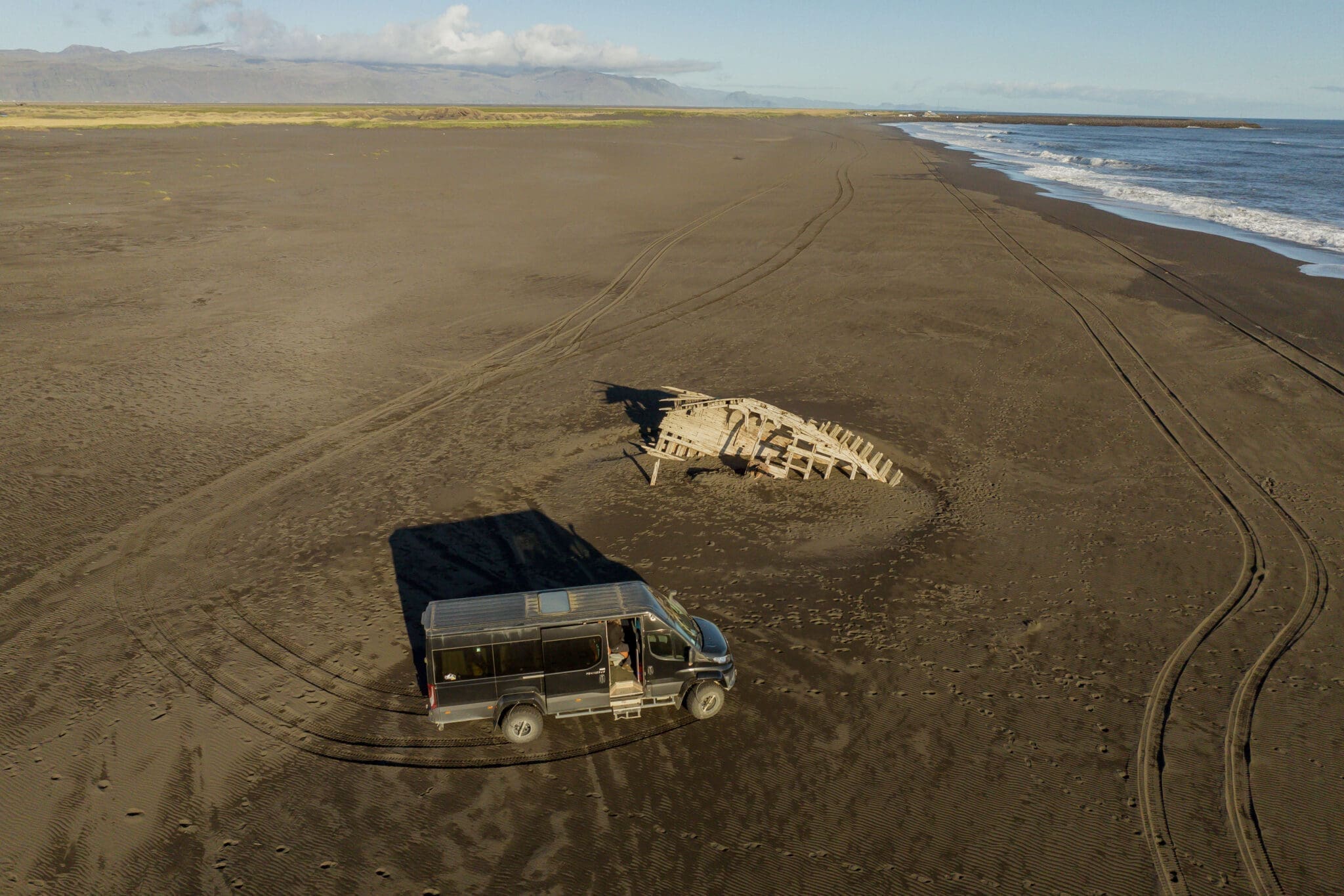
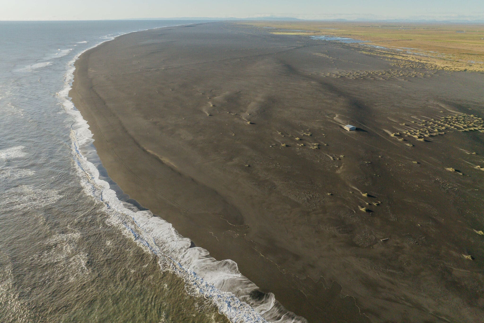
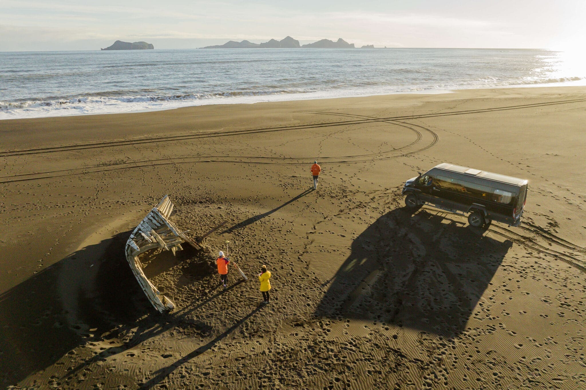
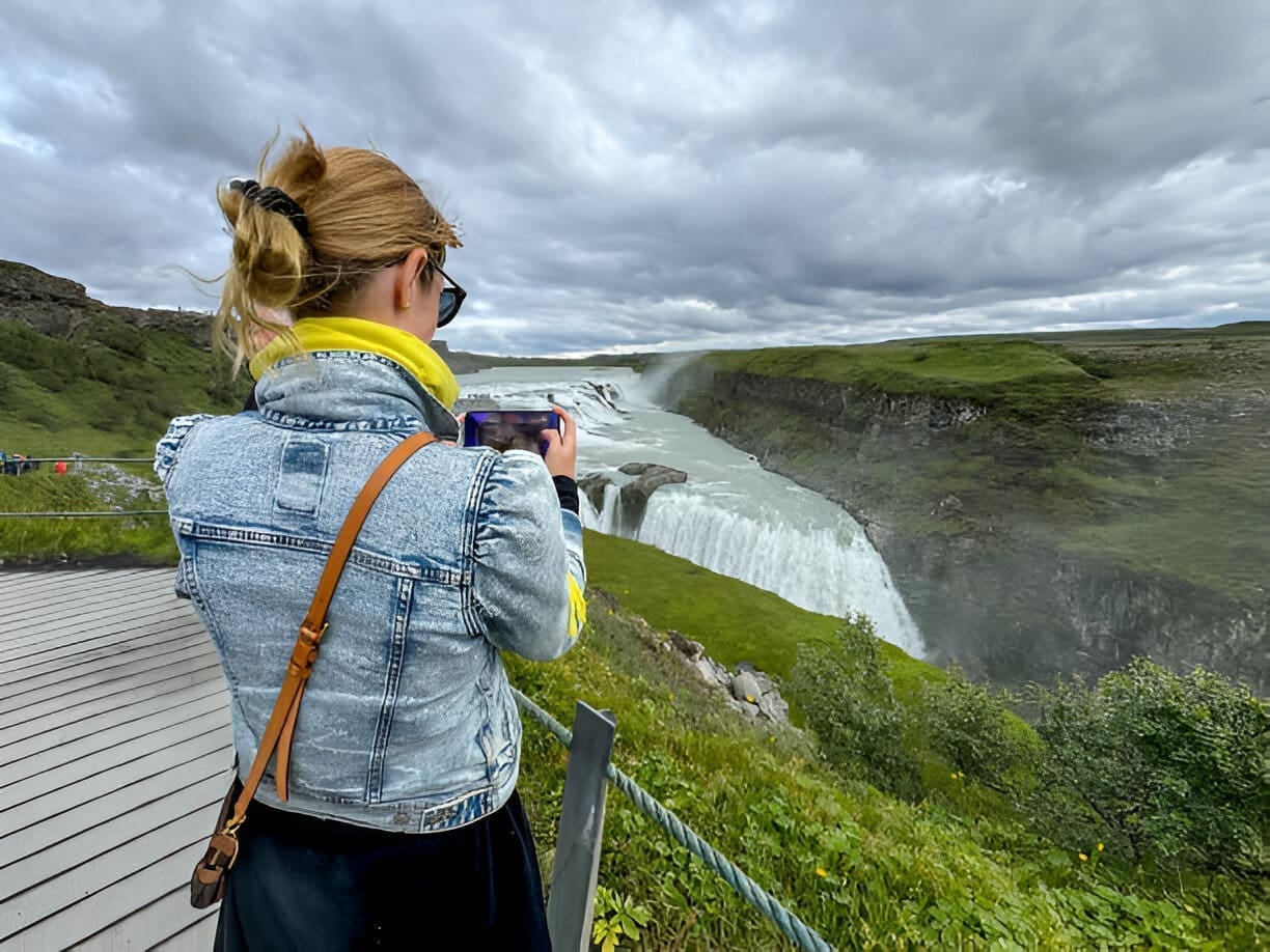
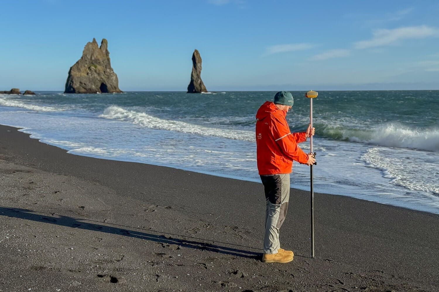
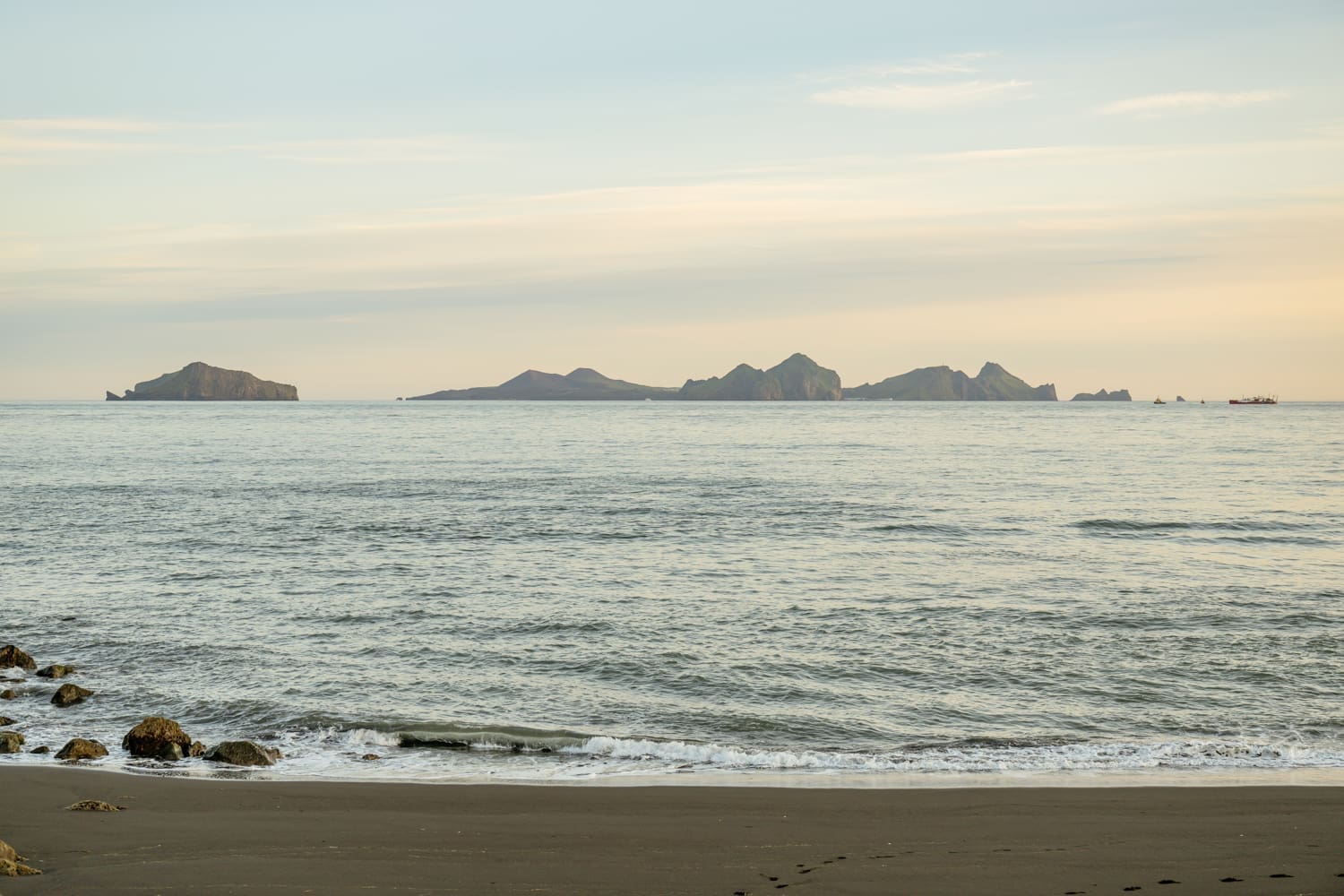
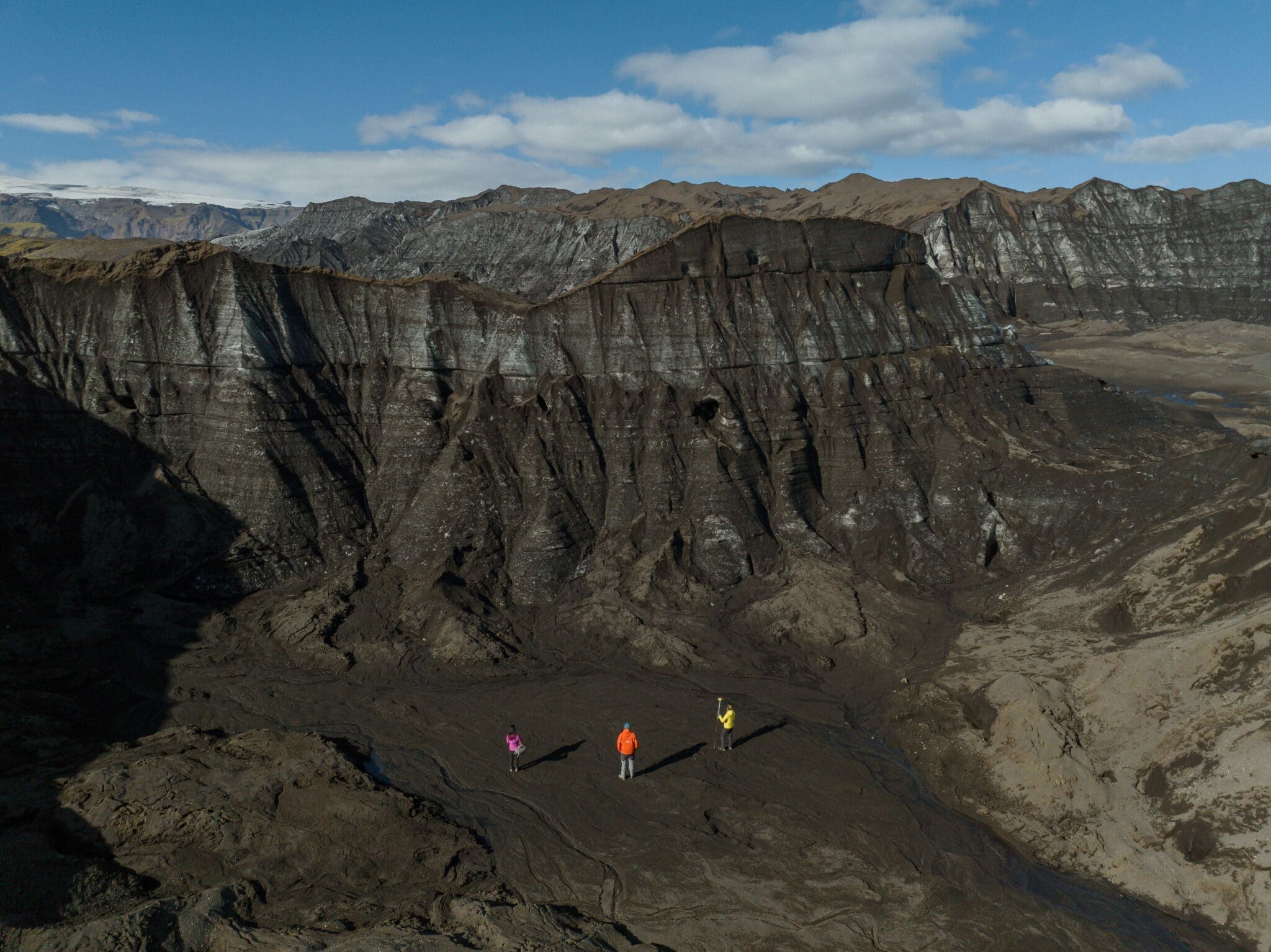
This experience offers a deep dive into the forces of nature that continue to shape Iceland’s most dynamic landscapes. Here, you’ll take on the role of a Citizen Scientist and examine the change in designated profiles on this famous black sand beach. Additionally, you'll compare previous measurements to learn about and track stability, long term developments (erosion or accretion) and adaptations (storm recovery). Bonus: Imagine being part of a long term research project that will have an impact on Science and Safety!
– Katla Geopark Mapping Specialist (Geologist if available)
– Coastline Mapping Gear (GPS, drone, etc)
– Brief Training Lesson
– Emailed Results
– Citizen Scientist Certificate from Katla Geopark
– Good Walking Shoes
– Sunscreen
– Sunglasses
– Dressing in Layers (warm clothes no matter the time of year)
– Rain Gear
It's important to be dressed to be outside the entire time. Dressing in layers, water proofs, and good walking shoes is best!
15.000 ISK
13.700 ISK
174.554 ISK
180 000 ISK
15.500 ISK
18.120 ISK
17.990 ISK
18.000 ISK
20.000 ISK
325.000 ISK
Travel tips, new guides and a heads-up when the aurora forecast looks good. No spam.