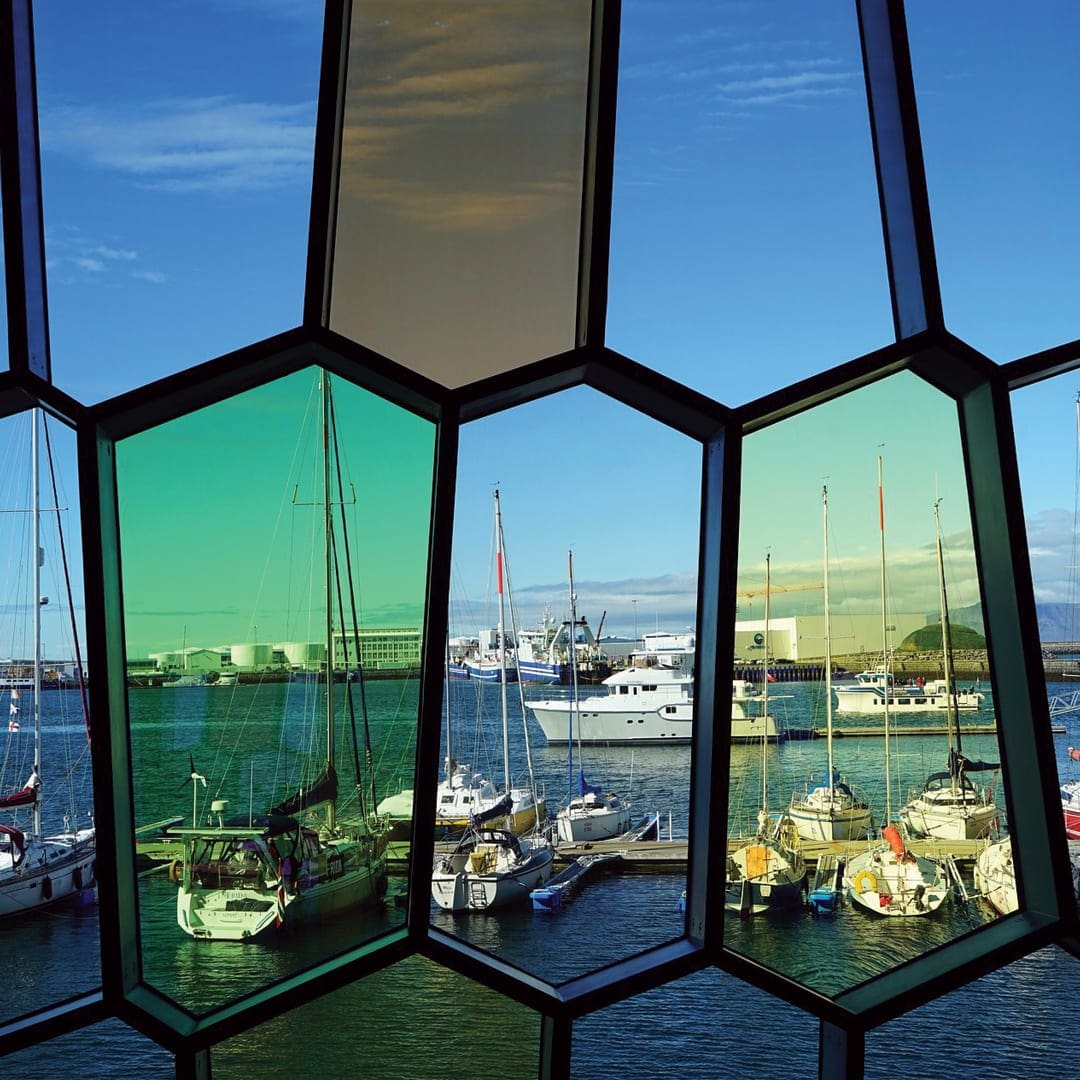
Harpa-Konzerthalle und Konferenzzentrum
Musik- und Konzertstätten, Sehenswürdigkeiten
Harpa-Konzerthalle und Konferenzzentrum, Austurbakki, Reykjavík, Island


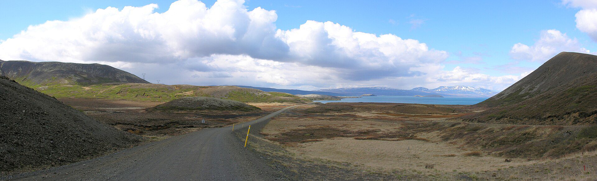
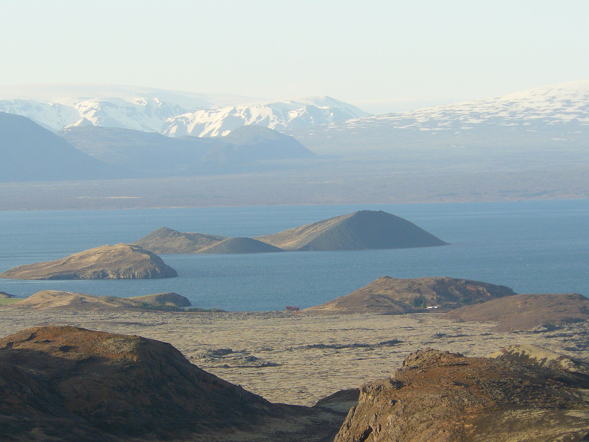
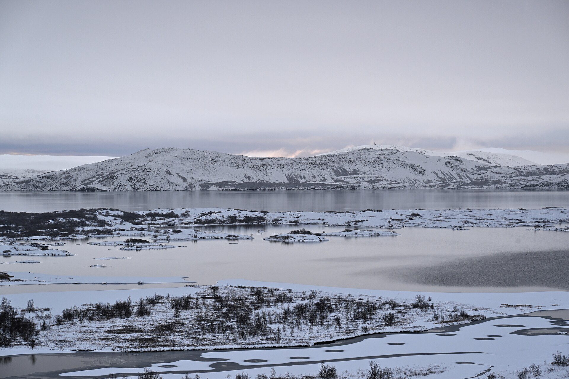
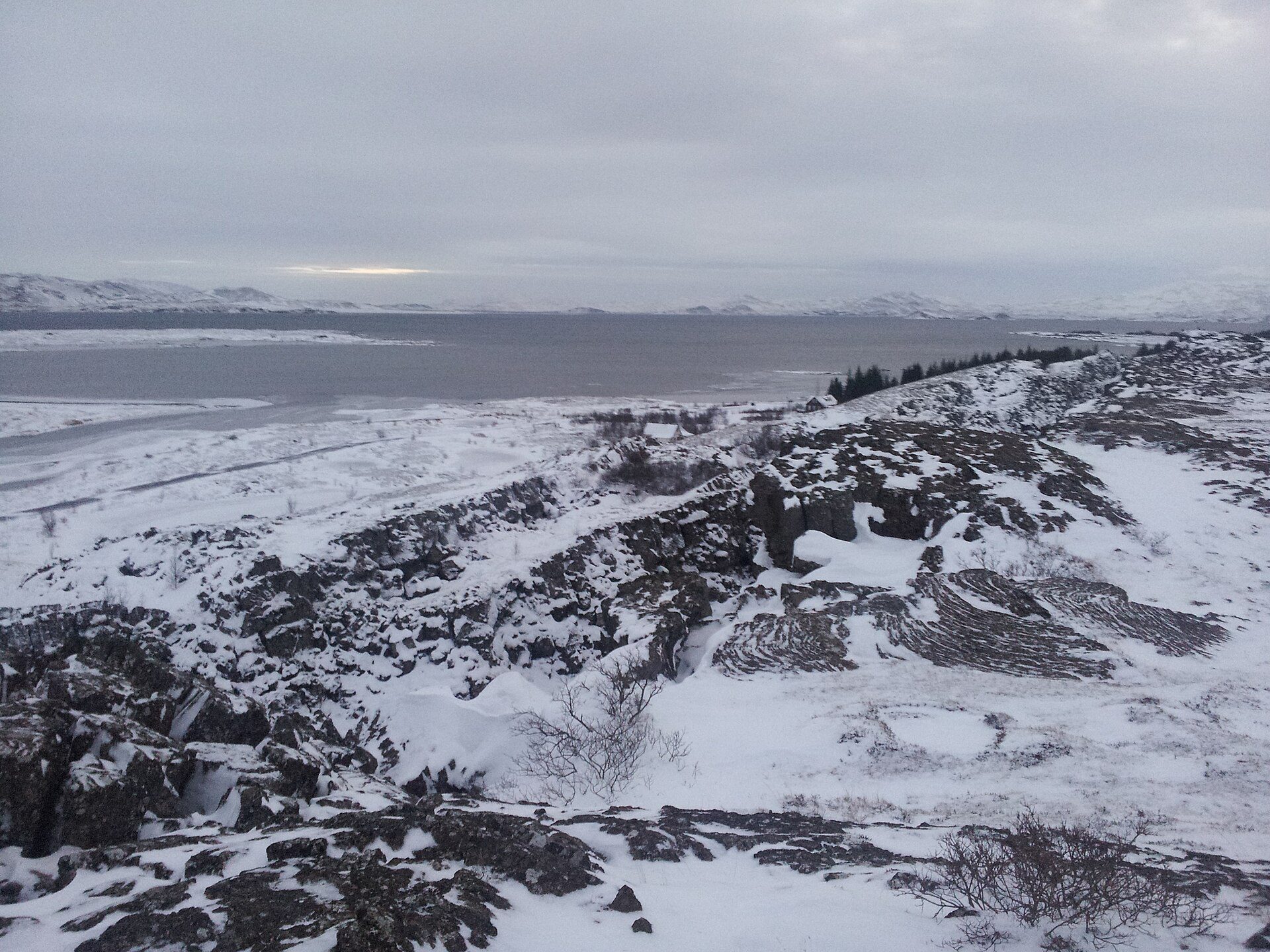
Þingvallavatn, with a surface area of 84 km², is Iceland’s largest natural lake and one of its most geologically fascinating. It occupies the floor of the Þingvellir rift valley, where the North American and Eurasian tectonic plates pull apart, and its basin has been deepened by centuries of volcanic activity and subsidence.
The lake is renowned for exceptional water clarity — fed by glacial meltwater filtered through ancient lava — and for harbouring four unique subspecies of arctic char that evolved in isolation after the last Ice Age. Scuba and snorkelling in the nearby Silfra fissure (which drains into the lake) is world-famous, though the lake itself is not a dive site. Birdlife is rich year-round, particularly ducks and grebes.
Þingvallavatn lies within Þingvellir National Park and is best viewed from the Almannagjá viewpoint or explored by kayak and boat from the Nesjavellir or Þingvellir camping area. The lake shore is accessible by car via Route 36.