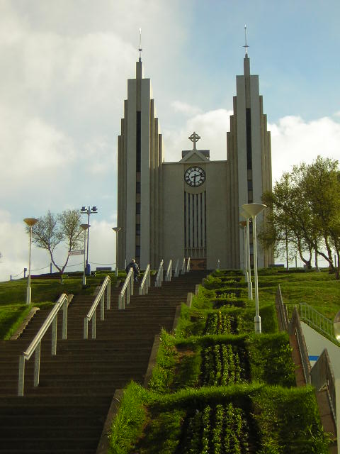
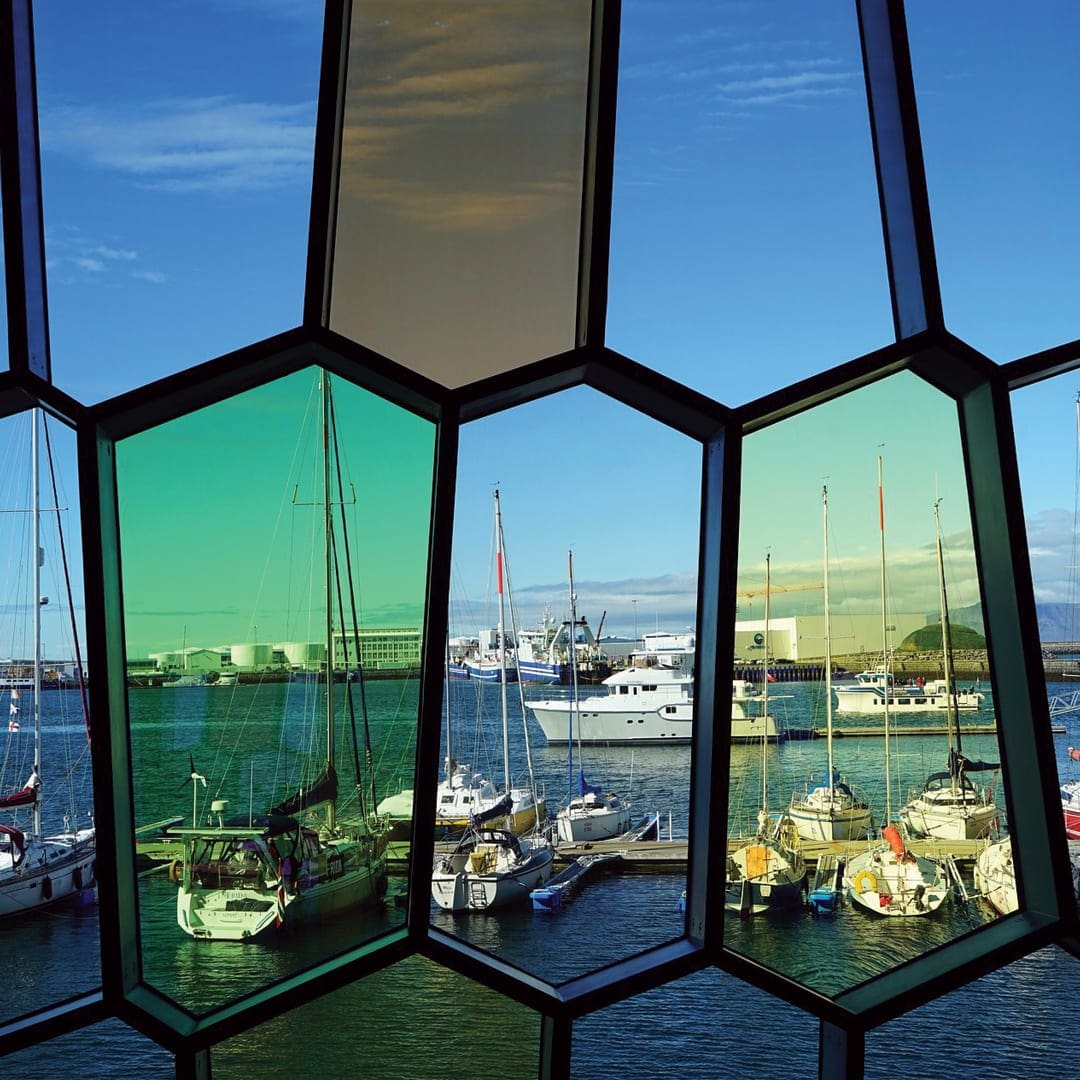
Harpa-Konzerthalle und Konferenzzentrum
Musik- und Konzertstätten, Sehenswürdigkeiten
Harpa-Konzerthalle und Konferenzzentrum, Austurbakki, Reykjavík, Island


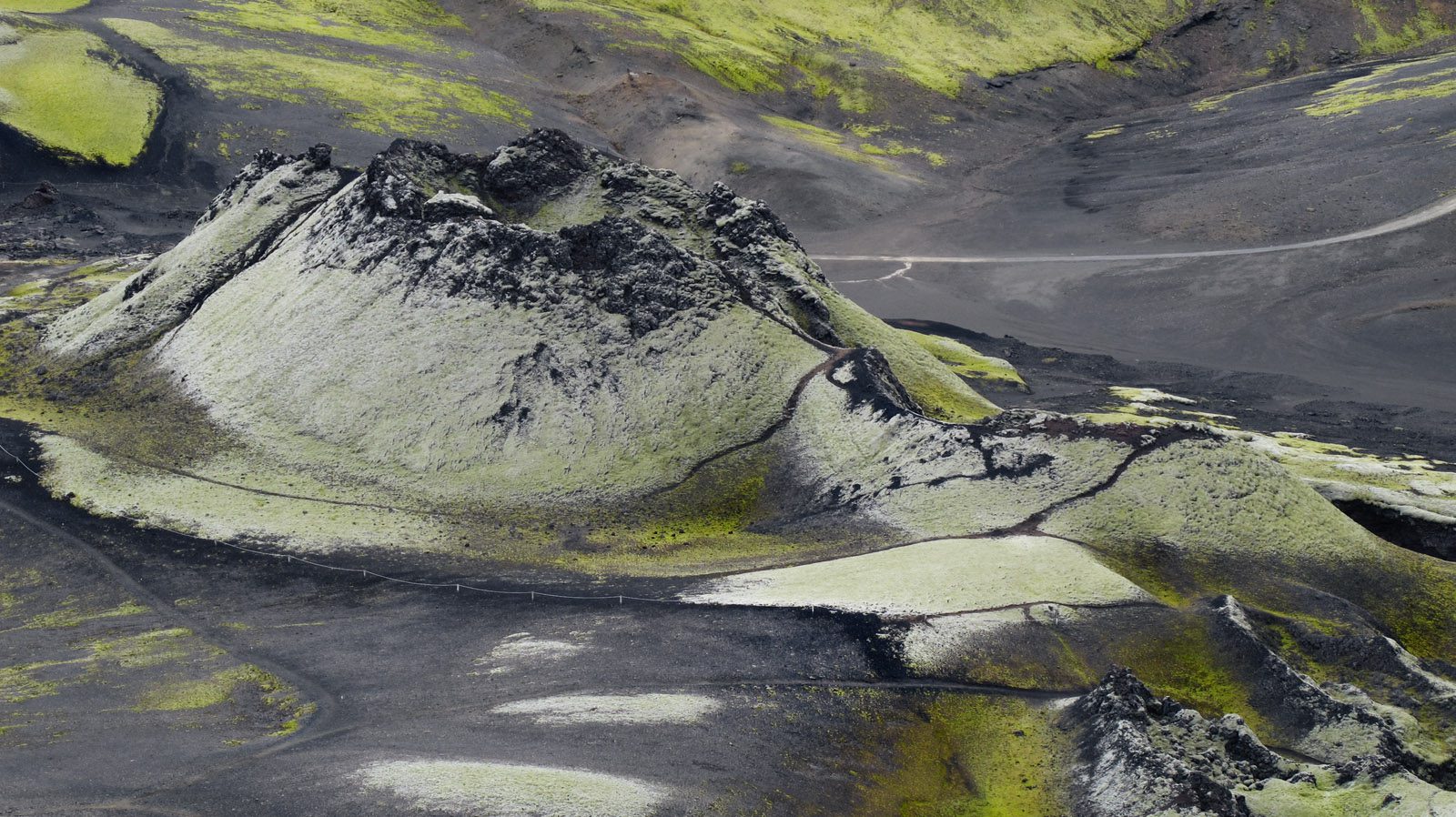
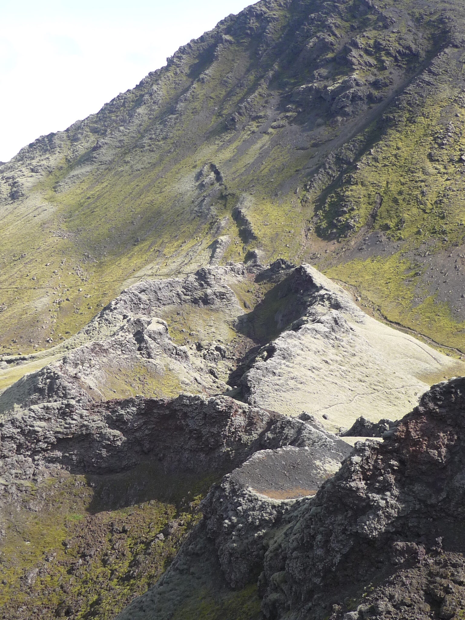
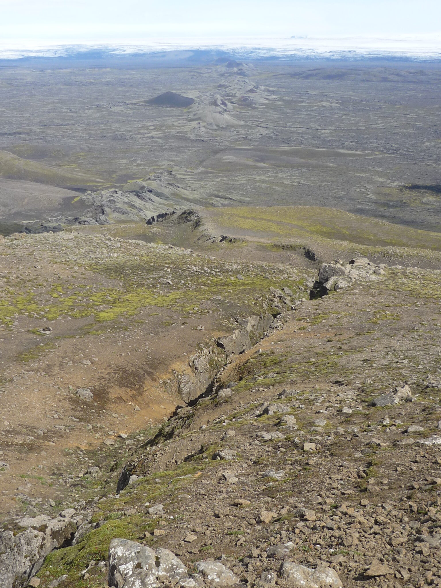
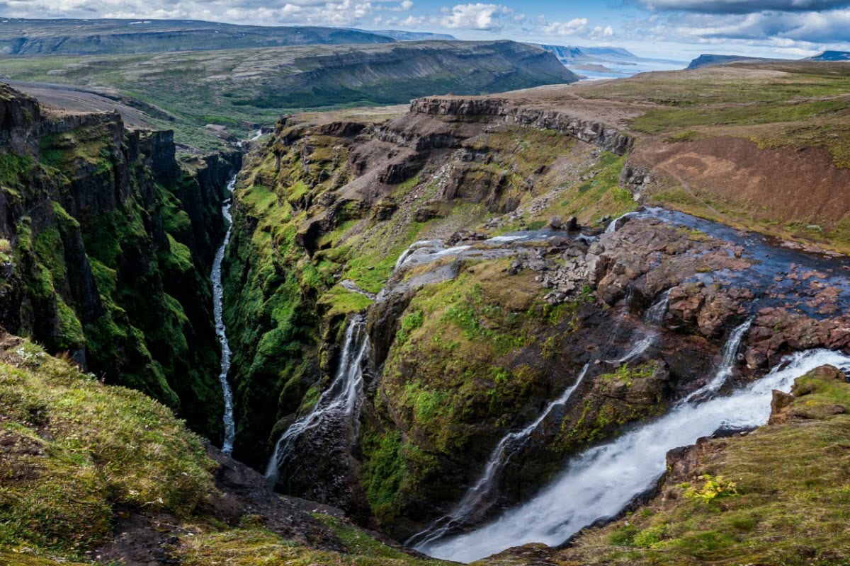
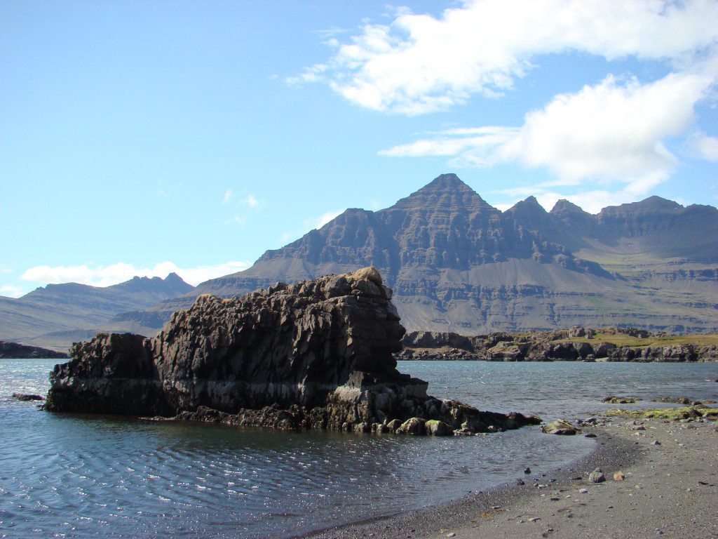
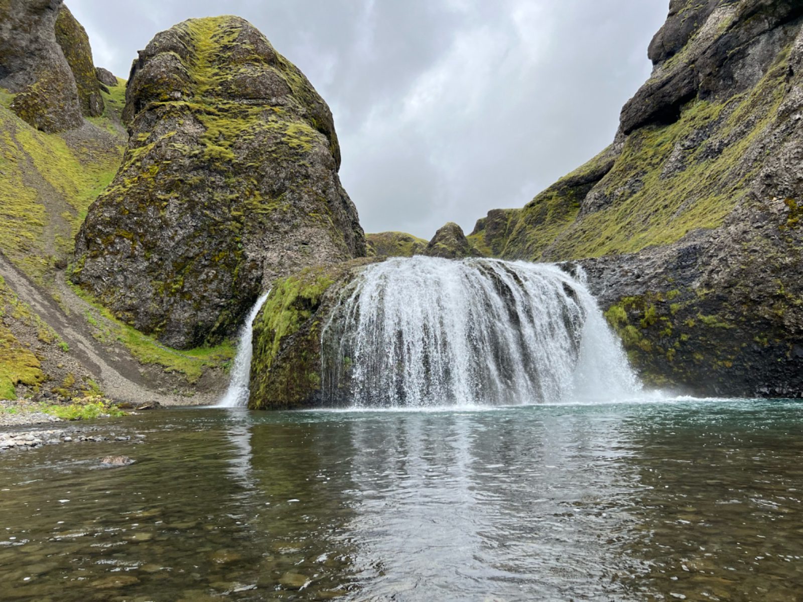
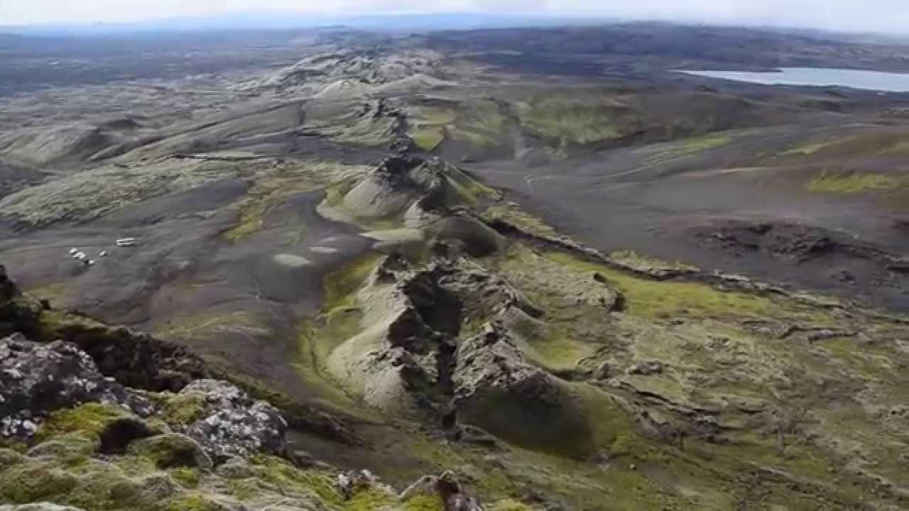
Lakagígar — the Laki Craters — is a remarkable 27 km long fissure lined with some 130 individual craters that erupted in 1783–84 in the largest lava eruption in recorded history. The volcanic gases released caused a famine across Iceland and affected climates across Europe, and the sheer scale of the resulting lava field is still staggering to behold today.
The site now falls within Vatnajökull National Park and can be explored on foot, with marked trails leading up to the main Laki peak (818 m) for panoramic views over the craters, lava fields, and countless volcanic features. The landscape is strangely beautiful — moss-covered lava, crater lakes, and the meandering Skaftá river canyon below.
Lakagígar is accessible via the F206 highland road, requiring a 4×4 and open only in summer (approximately late June to September). It is roughly 200 km from Kirkjubæjarklaustur. Services are minimal in the area; carry fuel, food, and be self-sufficient. Guided day tours run from Kirkjubæjarklaustur and Reykjavík in summer.