雷克雅未克景点标志

克罗萨列库尔冰川测绘公民科学任务

克罗萨列库尔冰川测绘公民科学任务
困难

中等

持续时间
8小时
价格从

374.988 冰岛克朗

克罗萨列库尔冰川测绘公民科学任务

Krossárjökull Glacier Outlet Mapping Expedition Itinerary:

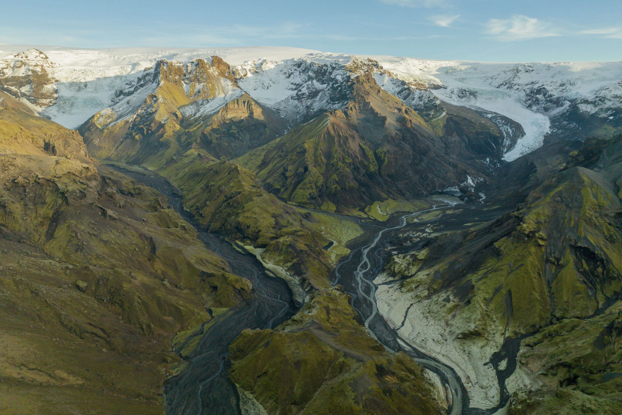
  • 早上出发: You'll meet in the town of Hvolsvöllur to embark on a super unique day of Scientific research.  Next, you'll take an inspiring ride through Thórsmörk to reach the canyon where Krossárjökull is accessed.

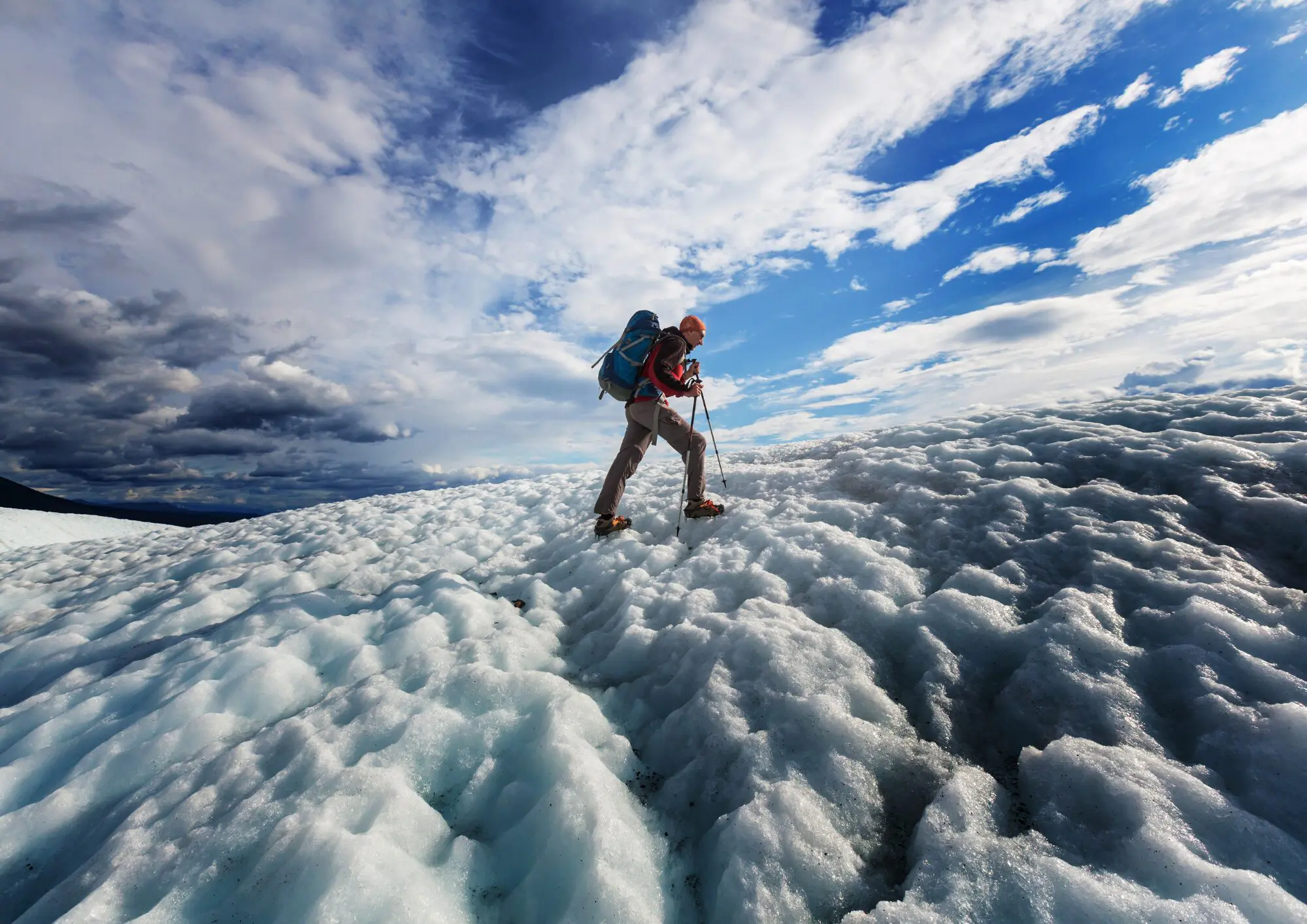
  • Hiking to Krossárjökull Glacier Outlet: Jump out of your 4×4 and be greeted with the most serene views and no tourists!  Before you start your 1-1.5 hour hike one way to the glaciers domain.  Note: There are river crossings that must be done by foot.  They vary in size and height (ankle to thigh high).  The driver will set a rope for additional guidance if needed.

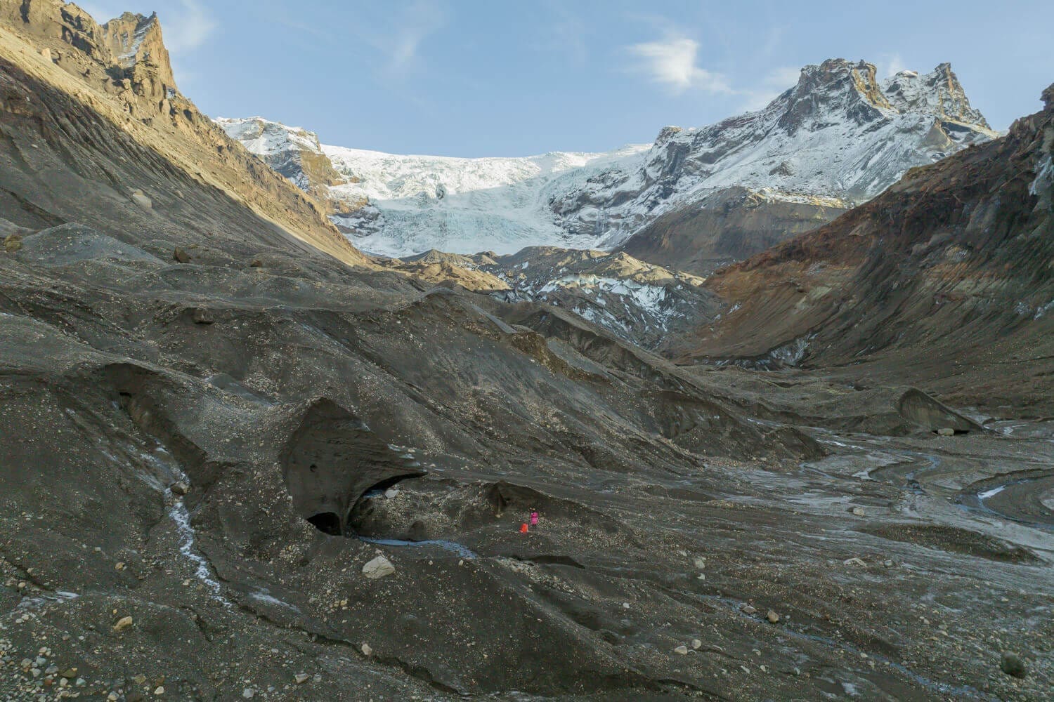
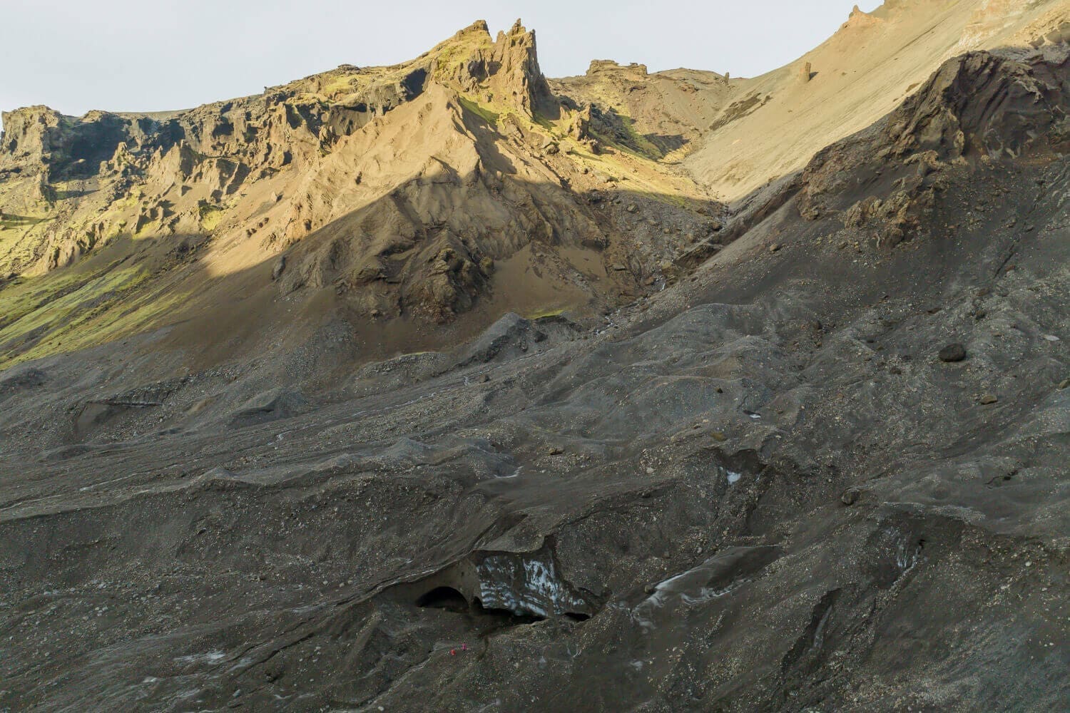
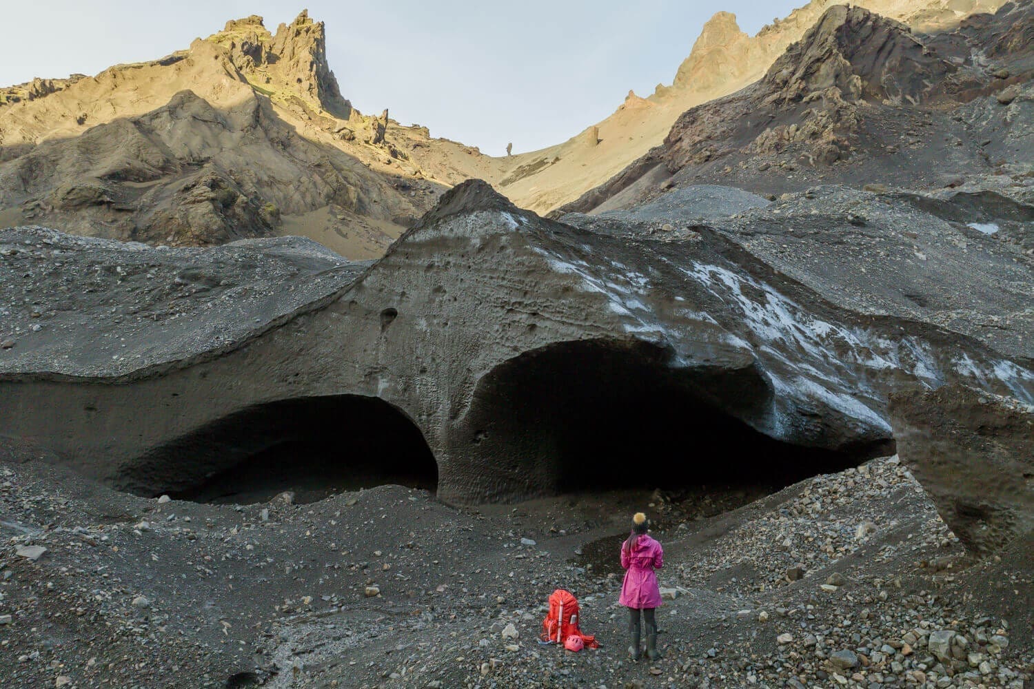
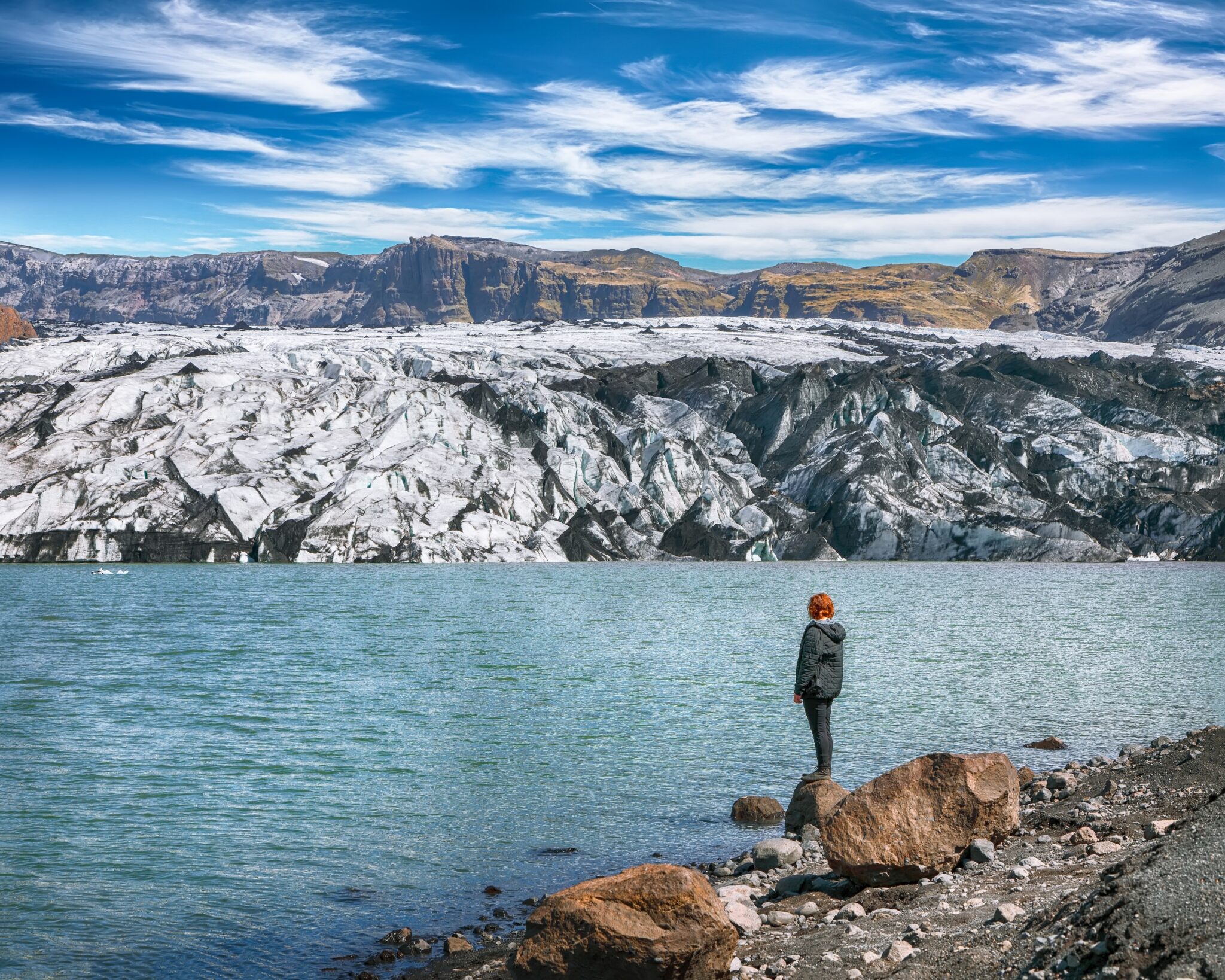
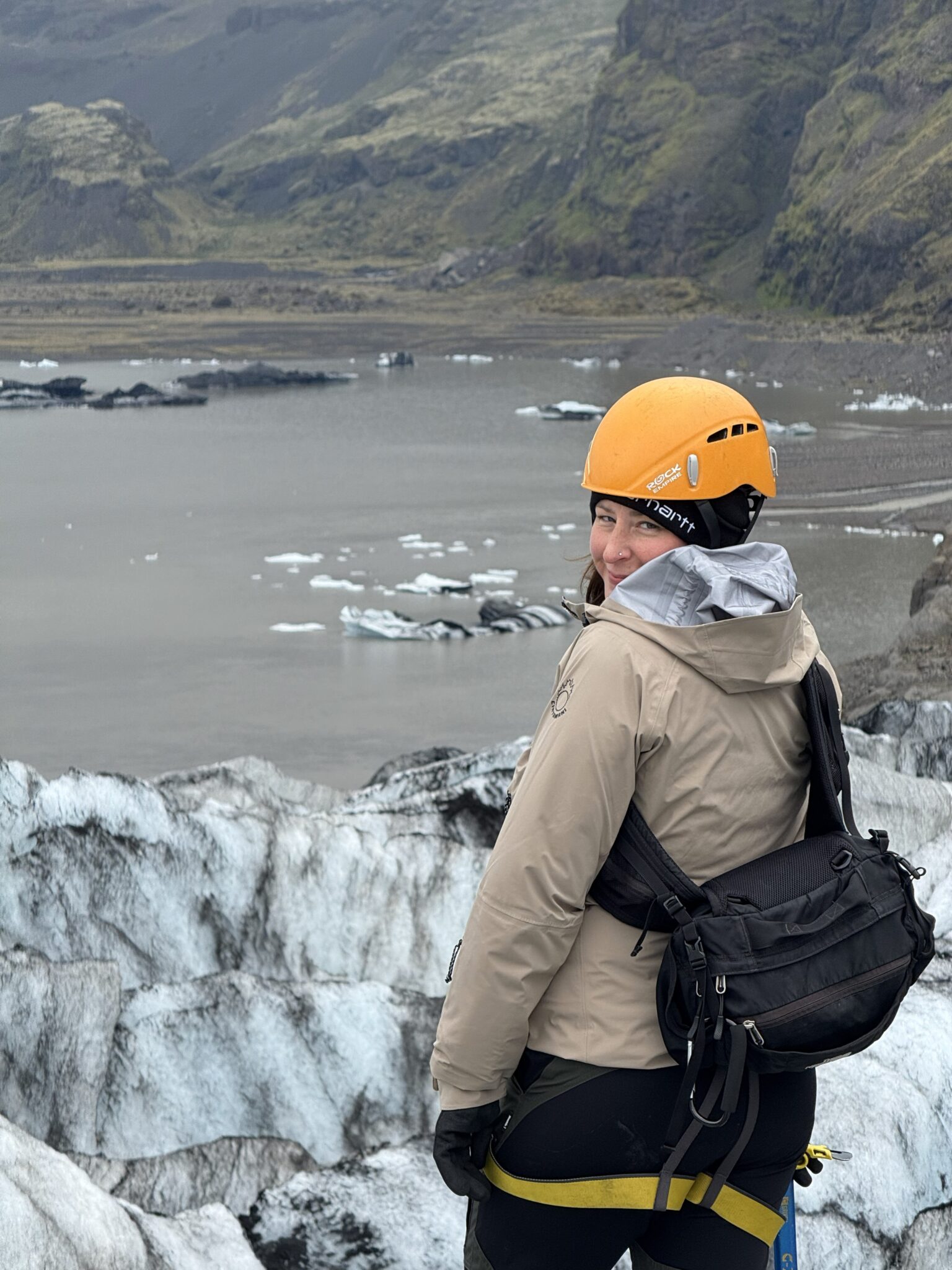
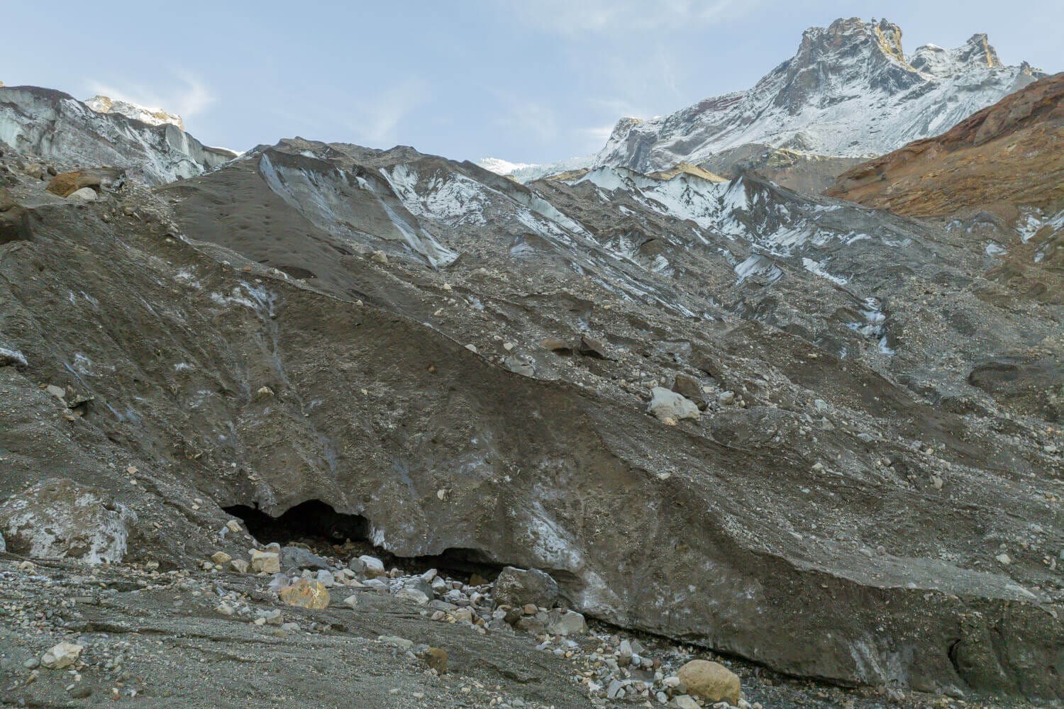
  • Guided Glacier Area Trek: Arriving to the glaciers edge, you'll witness a dead ice and be enthralled by this unknown area that is unknown to most.

  • 成为一名公民科学家: Next, you'll start mapping the glacier and/or dead ice.  Further, your data will contribute to ongoing research studies.

  • 午休景观: Delight in your packed lunch in an area even locals don't venture to!  Bask in the epicness and solitude.

  • 地质见解: Throughout the expedition, your guide will provide insights into the geological significance of the glaciers within Katla Geopark, explaining how the areas are all interconnected.

  • 下降和返回: After completing the glacier mapping experience, make your way through the canyon to hike back to the 4×4.  Reflect on the impactful experiences and data you created during the return hike.

  • 风景优美的车道返回: Conclude your day with a beautiful 4×4 drive back to your drop-off location, passing through the picturesque landscapes of Thórsmörk.  You'll take home irreplaceable moments and a deeper understanding of our dynamic glaciers in Iceland.

  • 结果和采取: Staff from Katla Geopark will process your Krossárjökull Mapping findings and share them with you in a report days after the adventure.  Results and Citizen Science Certificate will be formally emailed.

What’s Included in the Krossárjökull Glacier Mapping Citizen Science Mission:

  • 8-10 hour Expedition from Hvolsvöllur
  • 专业持照驾驶员指南
  • Educational Background Brief
  • 4×4 骑车前往冰川出口
  • 所有必要的科学和冰川安全设备
  • Hvolsvöllur 镇的往返交通
  • 卡特拉地质公园公民科学家证书
  • 处理结果通过电子邮件发送
  • 名称发表在地质公园报告中
  • 通过电子邮件进行持续数据更新

– Wear Hiking Boots

– Sunscreen / Sunglasses

(无论一年中的时间)分层着装(保暖的衣服)

雨具

– Be prepared to be outside the entire time

请注意

Krossárjökull Glacier Mapping Expedition Specifics:

探险持续时间: Approximately 10 hours (including travel time)

难度级别: Moderate with Foot River Crossings (suitable for physically fit participants with a sense of adventure)

出发: 来自 Hvolsvöllur

可用性: April – October (depending on conditions could have flexibility)

组尺寸: 限 1-4 人(最多 6 人)

年龄要求: 10岁起(或个案)
又要去冒险了吗?

查看所有旅游
© 2026 你好,再见,ehf。保留所有权利。.
Secret Link