4 Day Laugavegur Trail (Self-guided – Tents)
4 Day Laugavegur Trail (Self-guided - Tents)
Embark on an epic 4-day self-guided hiking adventure on the Laugavegur trail, taking you from the colorful rhyolite mountains of Landmannalaugar to the lush valley of Þórsmörk, sleeping in tents. This journey offers an impressive diversity of landscapes, starting with the vibrant lava fields of Landmannalaugar and ascending towards Hrafntinnusker, known for its black obsidian deposits and snow-covered landscapes even in summer.
The route continues descending into the Jökultungur valley, with its stunning mountain formations and colorful sediments, to the serene lake Álftavatn, perfect for camping and enjoying the tranquility. We proceed through the Mælifellssandur desert, passing by the solitary Mount Hattafell and the dramatic gorge of the Markarfljót river, to the Emstrur campsite, with views of the Mýrdalsjökull and Eyjafjallajökull glaciers. The journey culminates in the green valley of Þórsmörk, a natural paradise with dense vegetation and dreamlike landscapes, providing the perfect ending to this unforgettable trek.
Don’t miss the opportunity to experience this unique trekking adventure in Iceland. Each day on the Laugavegur trail is filled with surprises and natural beauty, guaranteeing unforgettable memories and a deep connection with nature. Discover why this hike is one of the most spectacular in the world!
- Transfer from Reykjavík to Landmannalaugar
- Transfer from Thórsmörk to Reykjavík
- 3 nights of camping (optional tent)
- 4 days of route with self-guided tracking
- Support in English, German, Italian and Spanish during the route
This trip consists of a self-guided tour through the highlands of Iceland, sleeping in tents. During the booking process, you can choose to add extras to make your journey more comfortable. The available extras are:
- Bus transfer. Keflavík to Reykjavík and vice versa (booked separately)
- Hiking poles
- Night pack (tent, sleeping bag, mat, and sheet)
- Luggage transfer between camps
- Food pack (3 meals per day, stove, gas and saucepan)
- Accommodation for the first and last night in Reykjavík (booked separately)
- A 100% charge applies if canceled within 5 days of the start time.
- A 50% charge applies if canceled within 14 days of the start time.
- A 25% charge applies if canceled within 21 days of the start time.
- Free cancellation up to 365 days before the start time.
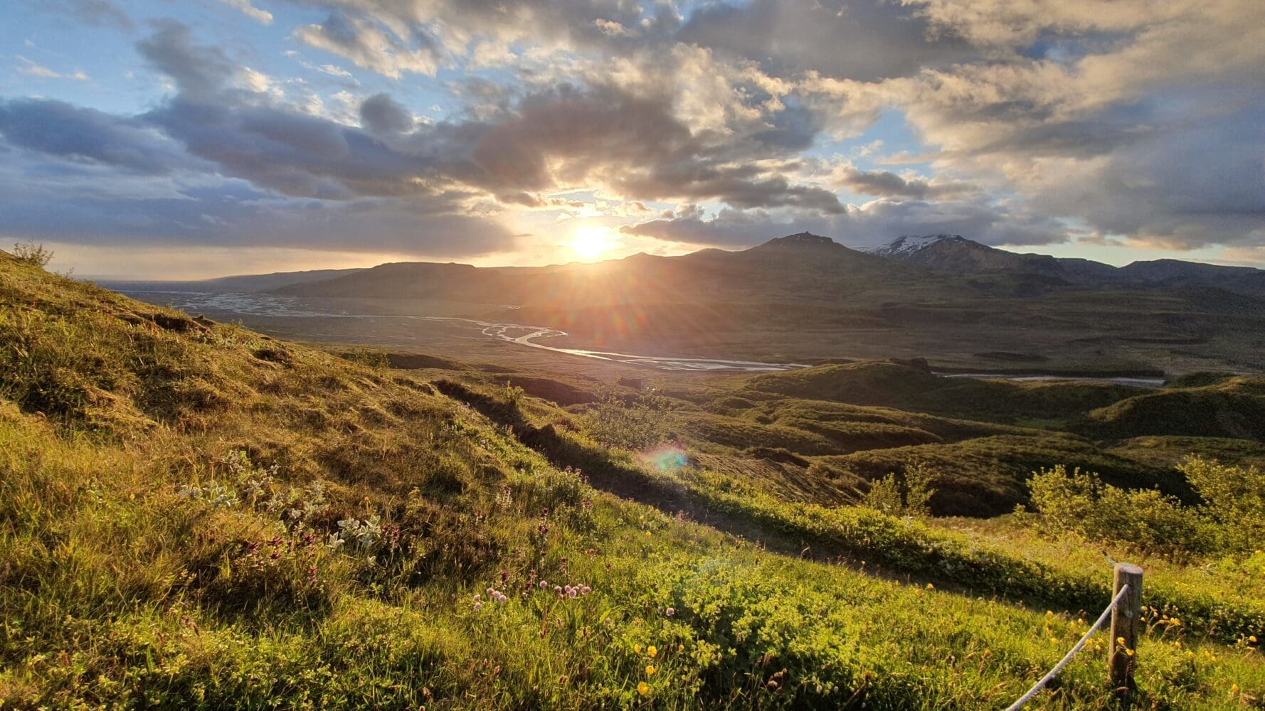
- Reykjavík -> Landmannalaugar
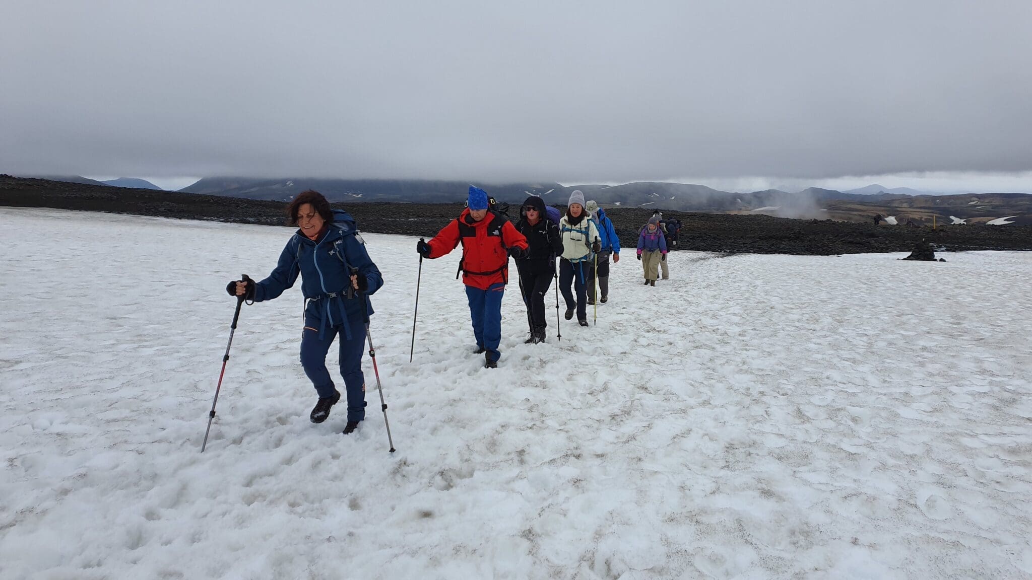
We depart from Reykjavík after breakfast at 07:00 am (pick up routes begins at 06:30 am), heading towards the Highlands of Iceland. Today will be a relatively calm day as we travel to the Landmannalaugar campsite. Upon arrival, we will set up our tents and have time for an easy first trek to get accustomed to the terrain and enjoy our initial hiking experience.
Distance: 11 km
Ascent: 402 m
Descent: 380 m
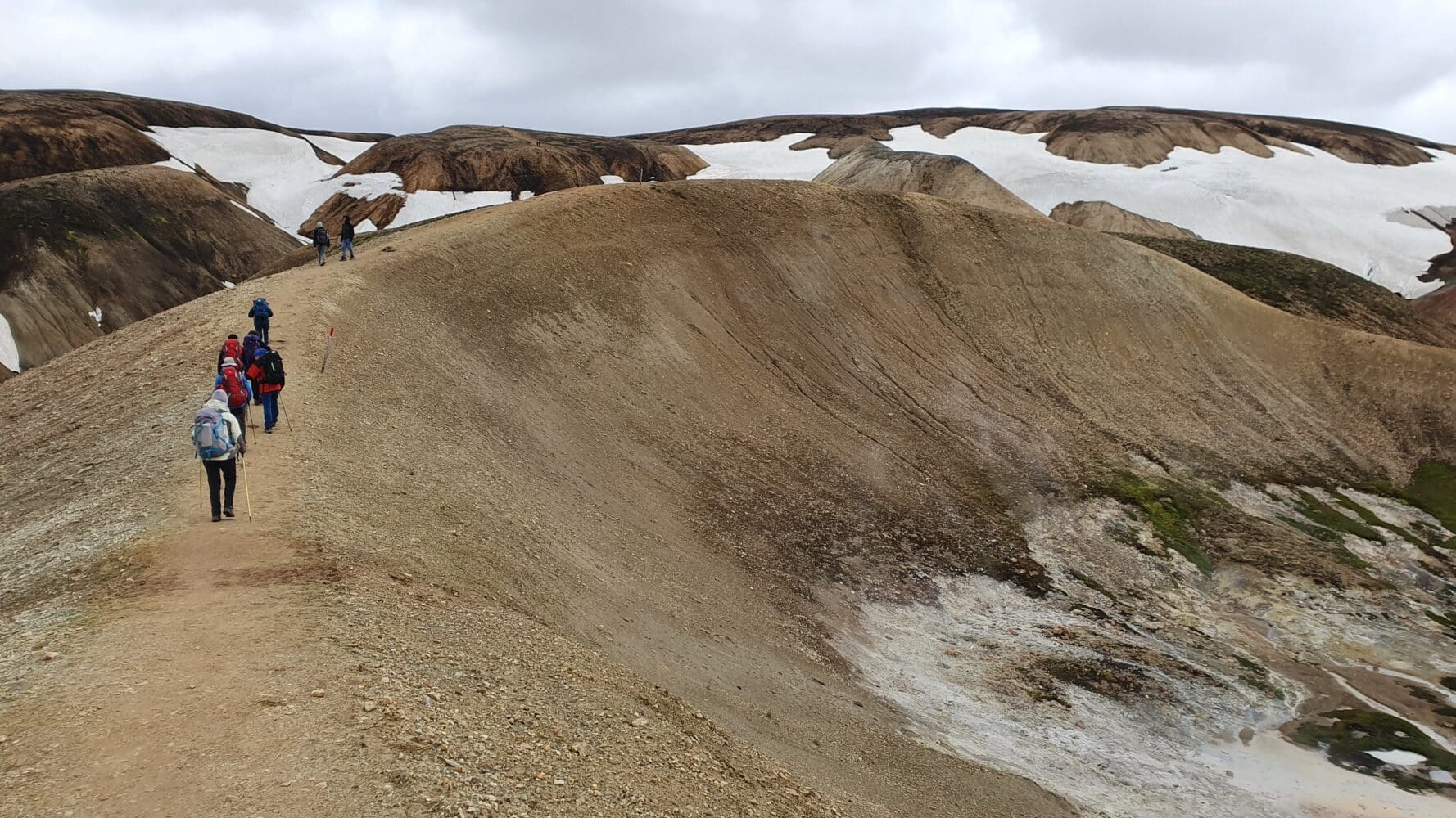
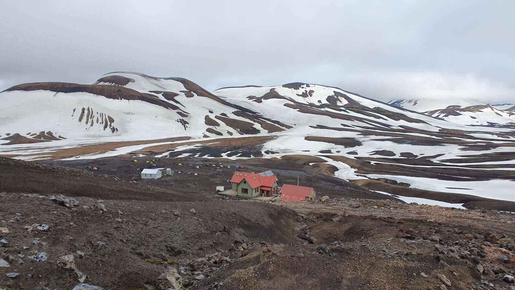
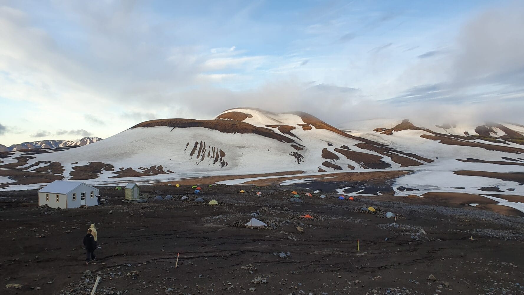
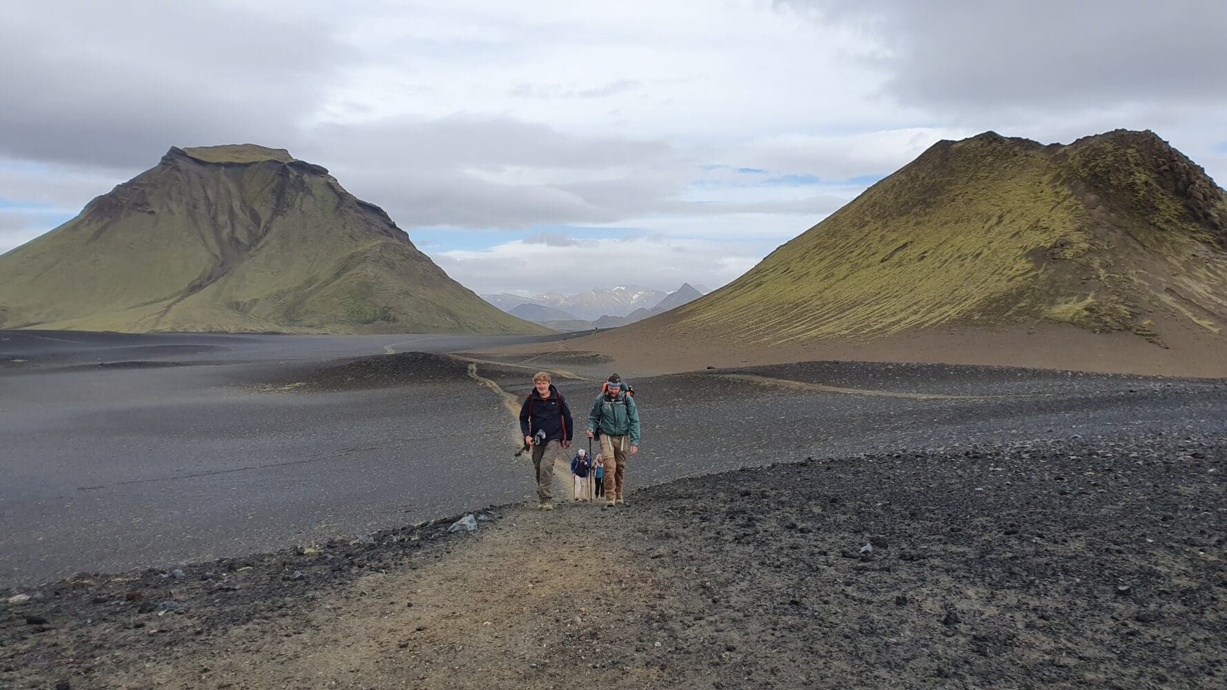
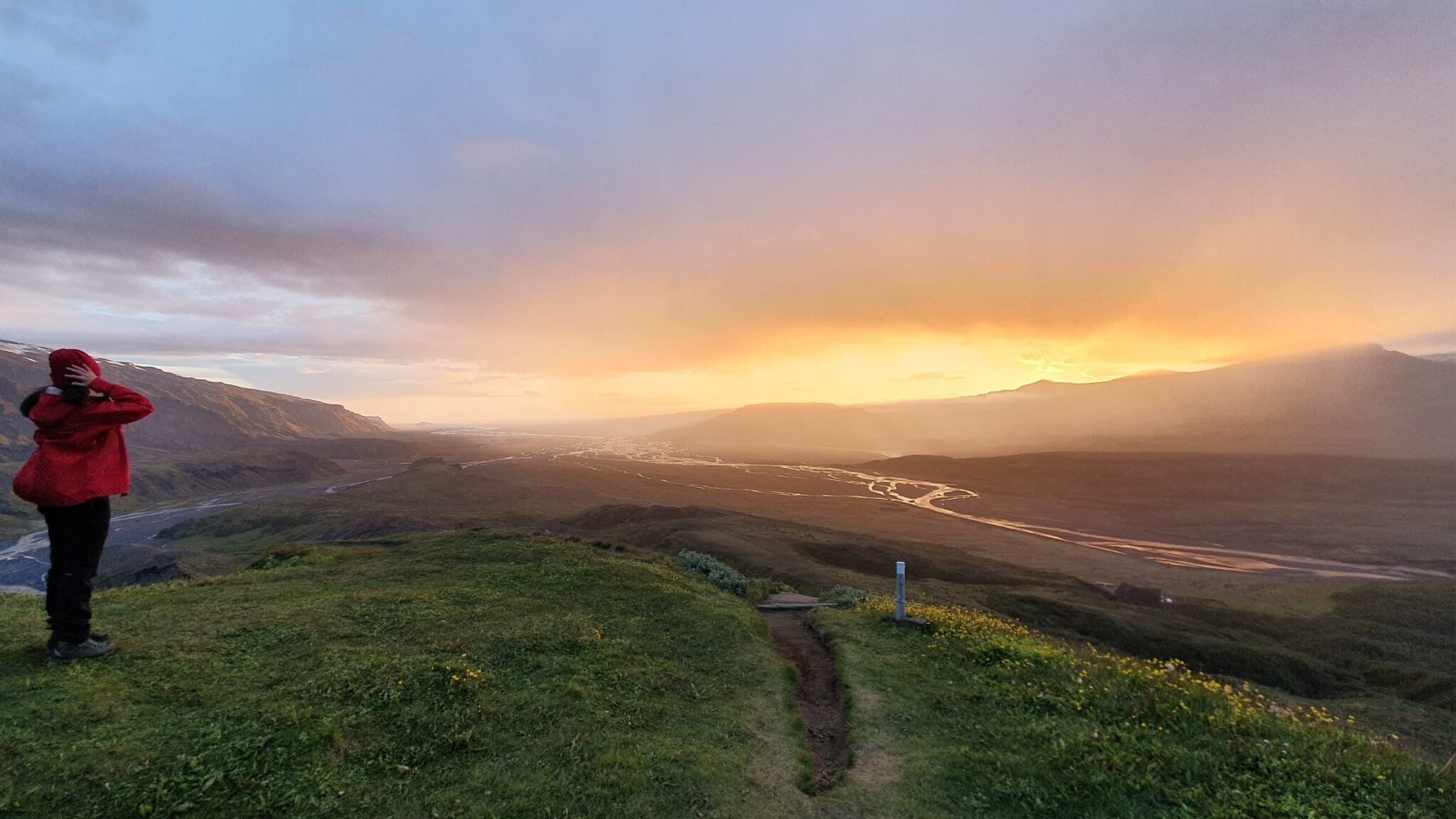
Duration: 4-5 hours - Landmannalaugar -> Hrafntinnusker -> Álftavatn
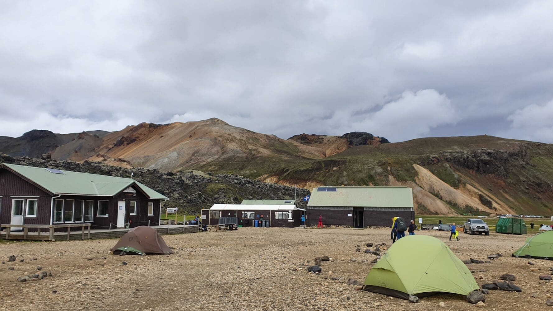
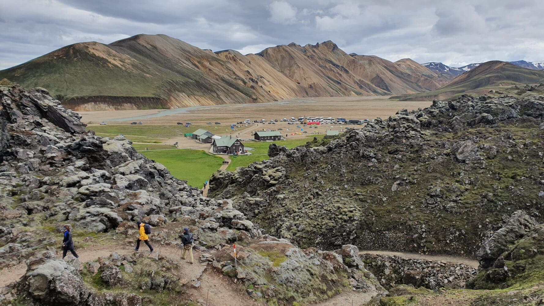
Landmannalaugar
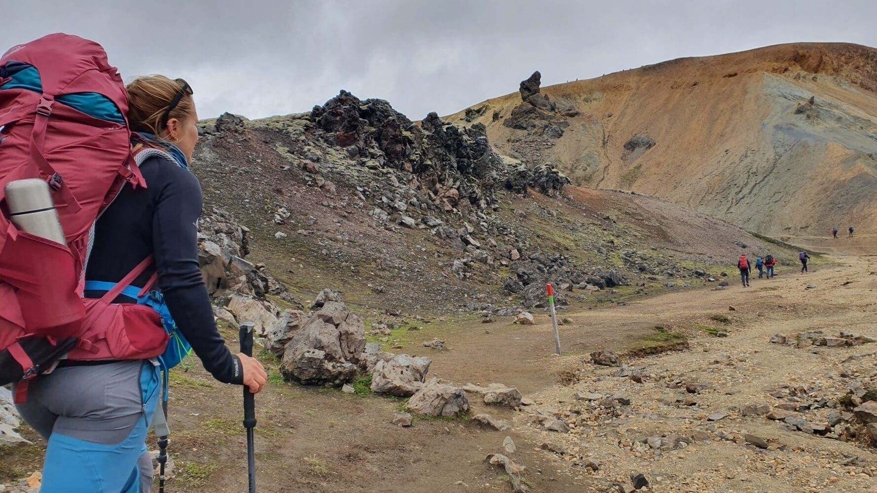
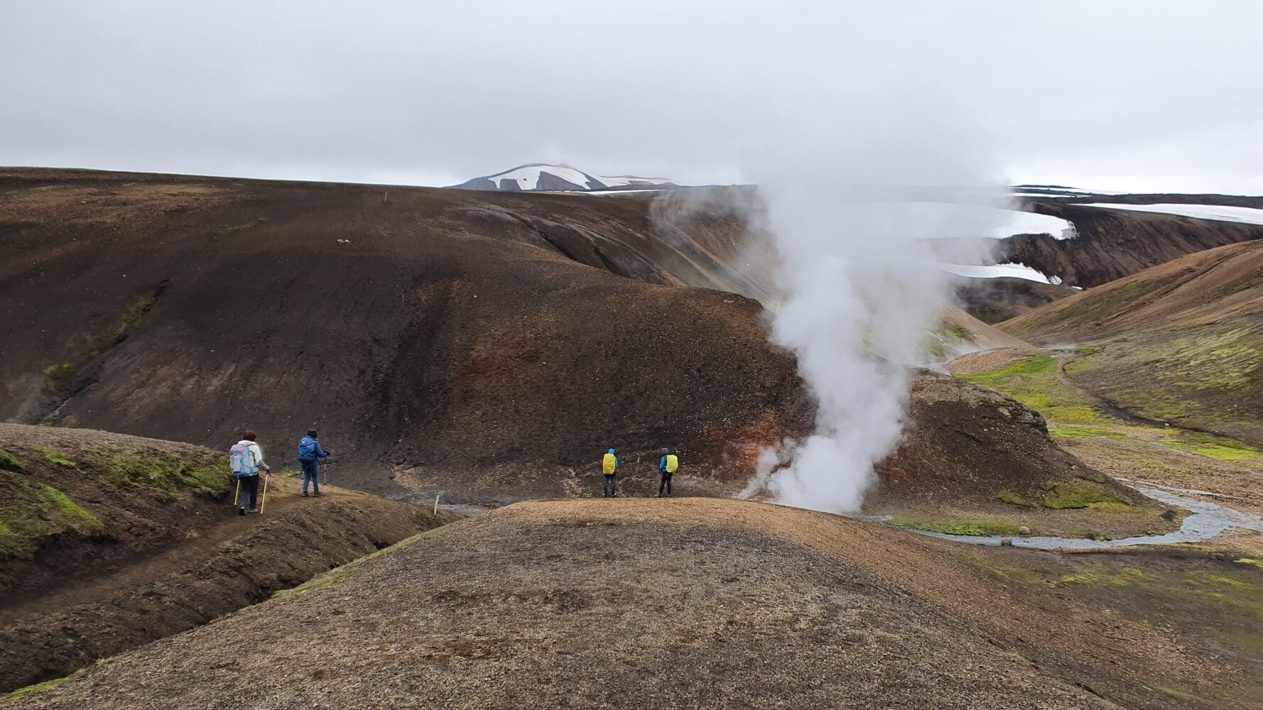
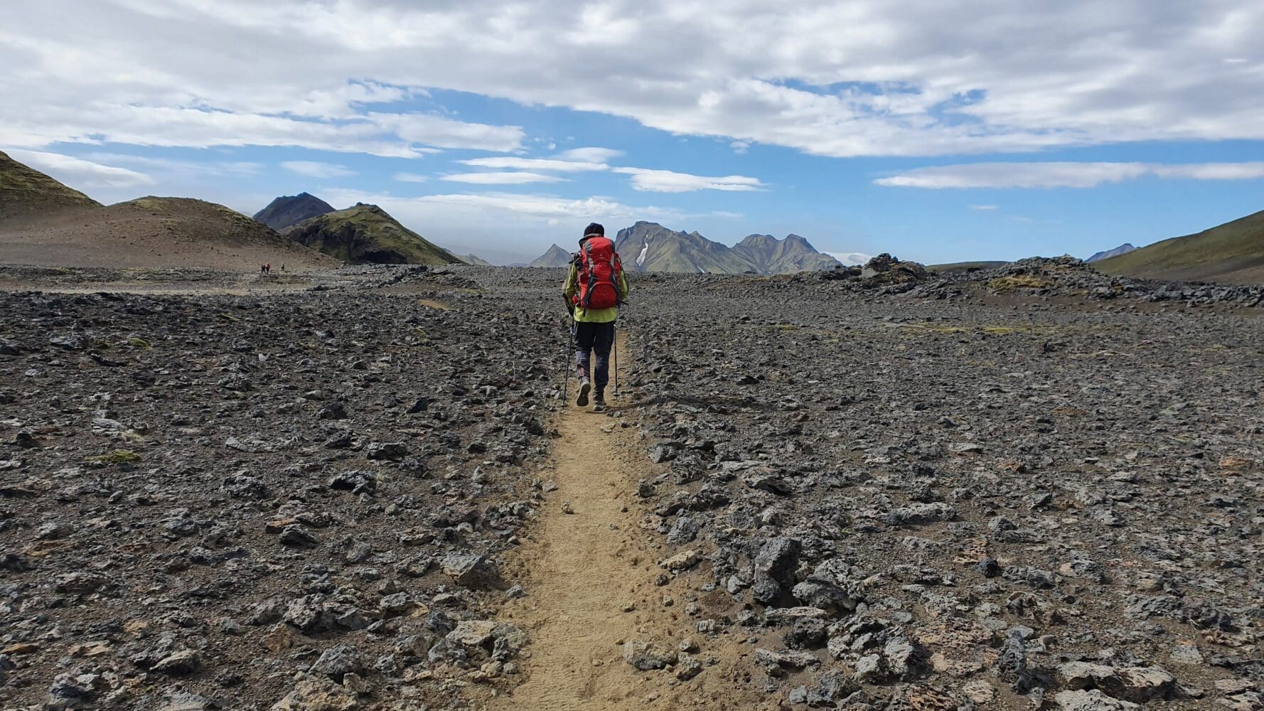
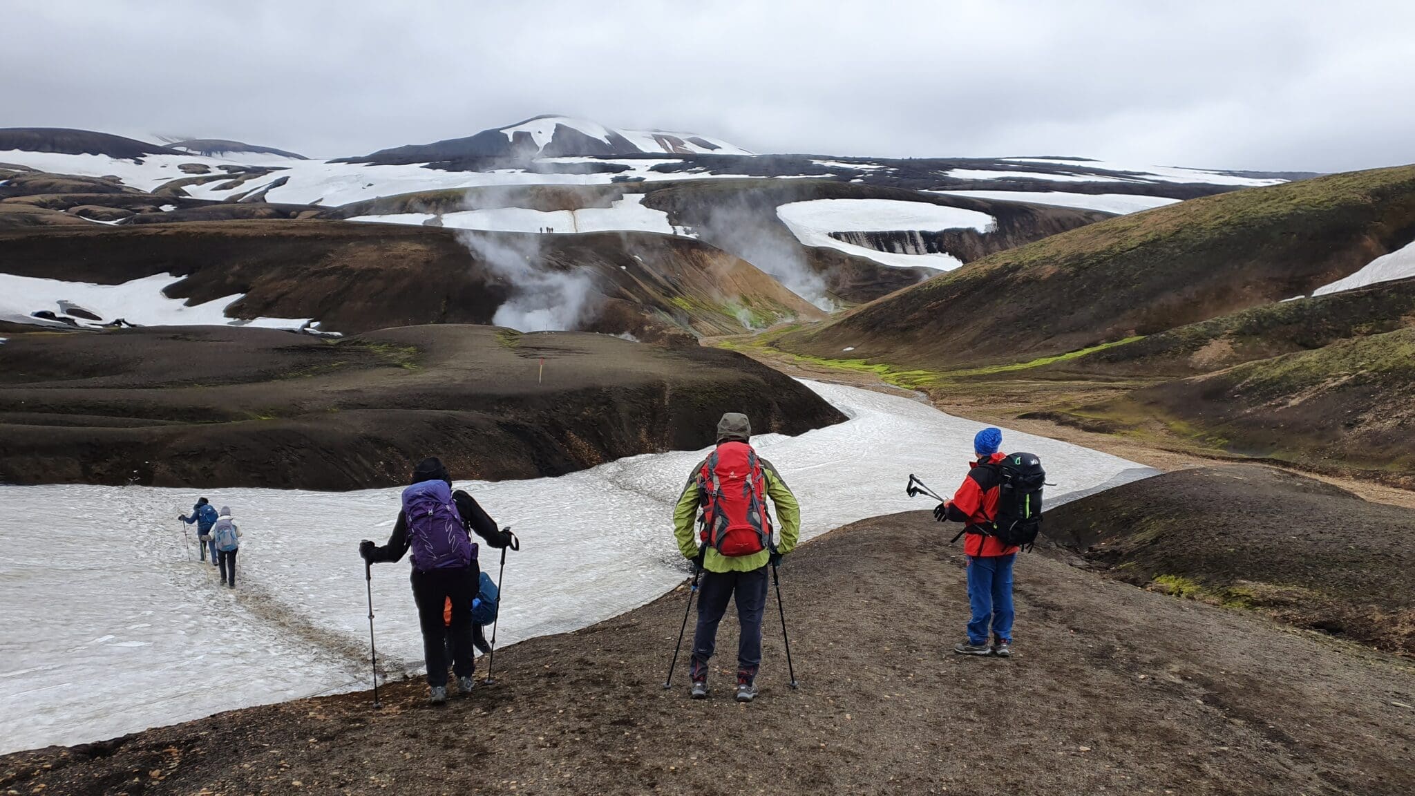
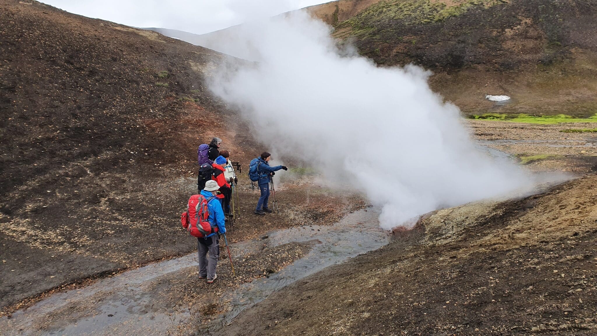
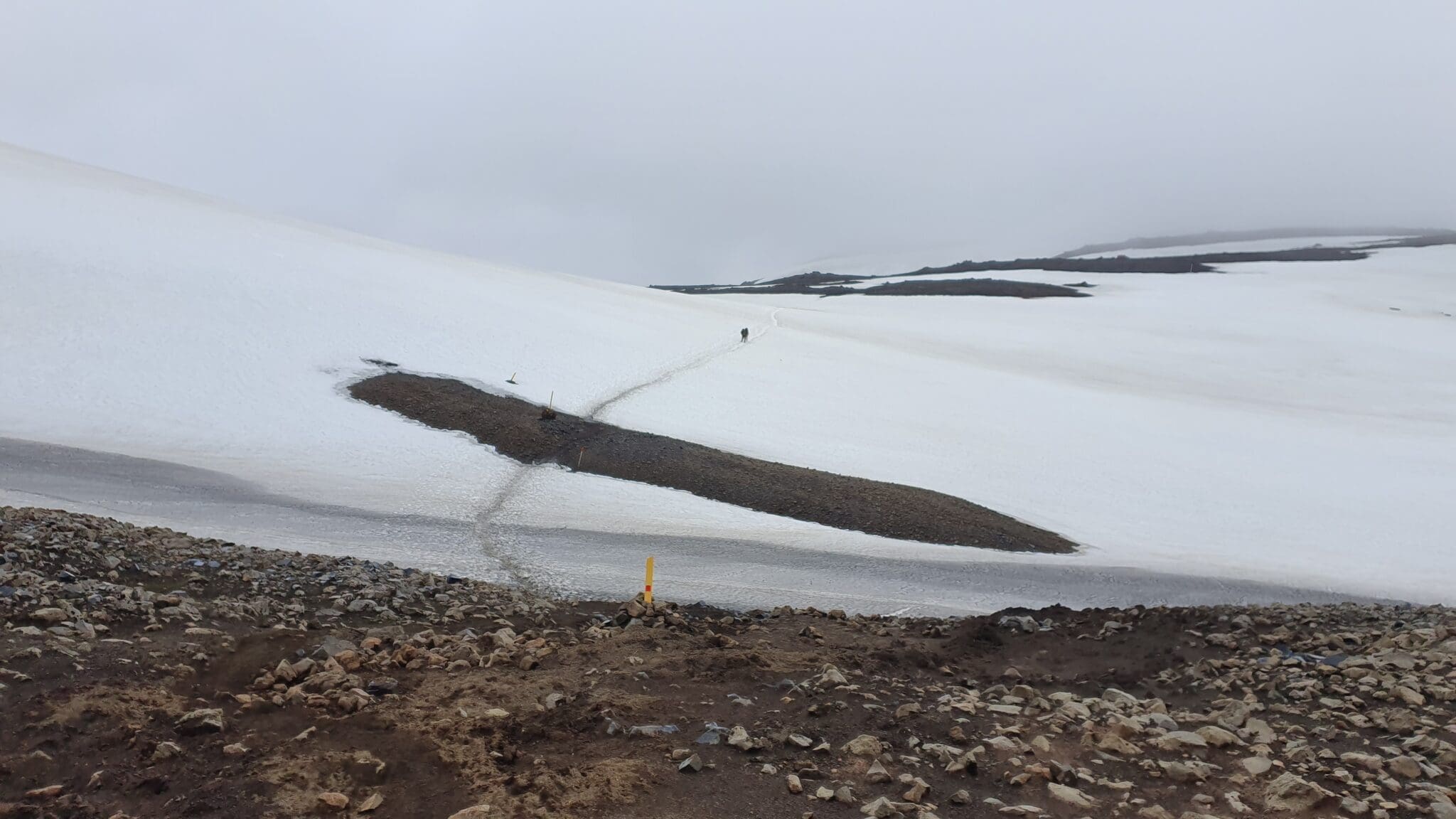
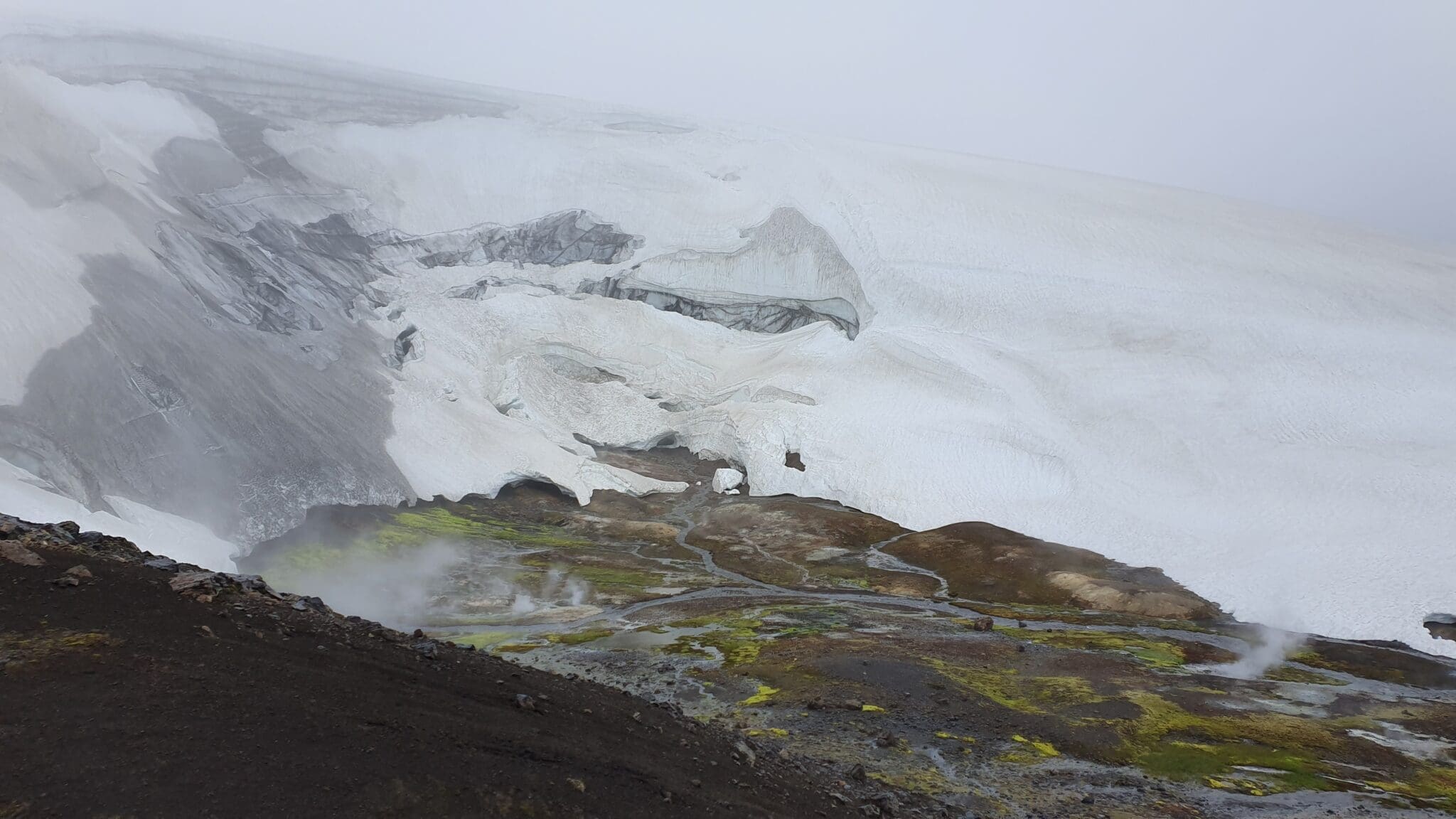
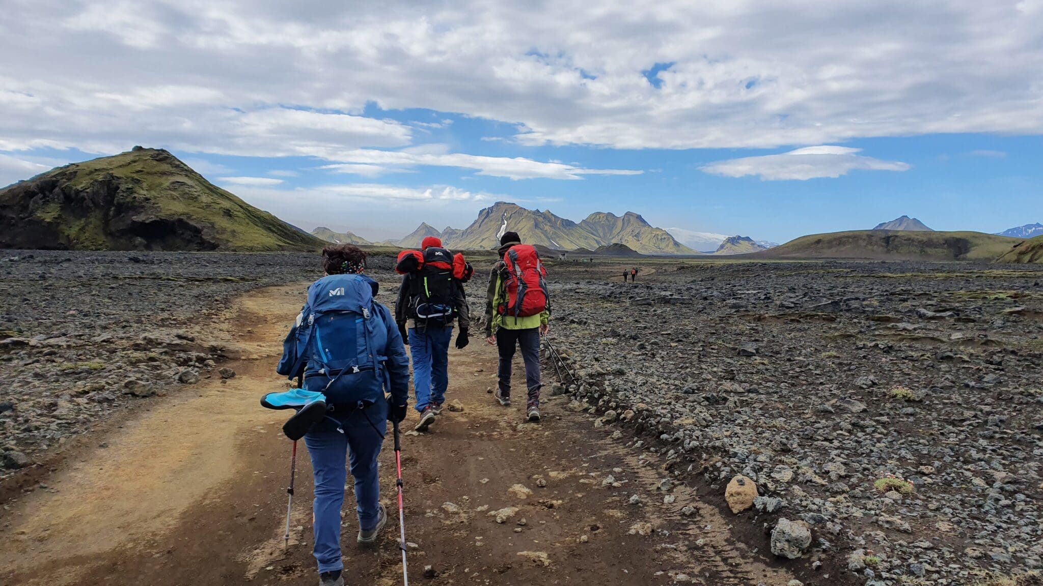
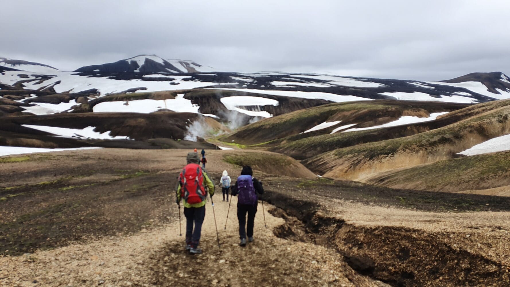
The real adventure begins! After an early breakfast and packing up our tents, we will start our hike. Today, we will cover the longest distance, trekking through the Laugahraun lava field and ascending towards the geothermal area of Stórihver. This section offers panoramic views of the valley, and on clear days, you can see the surrounding glaciers.
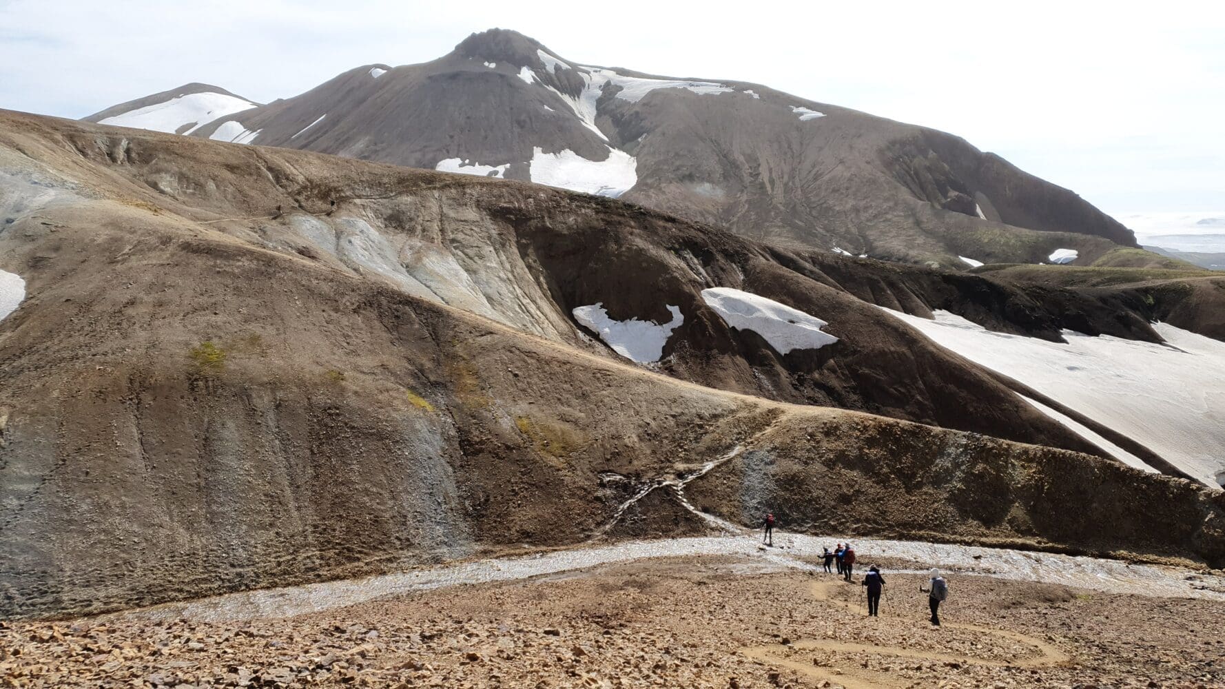
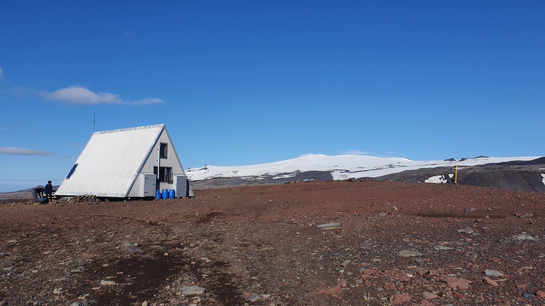
Hrafntinnusker
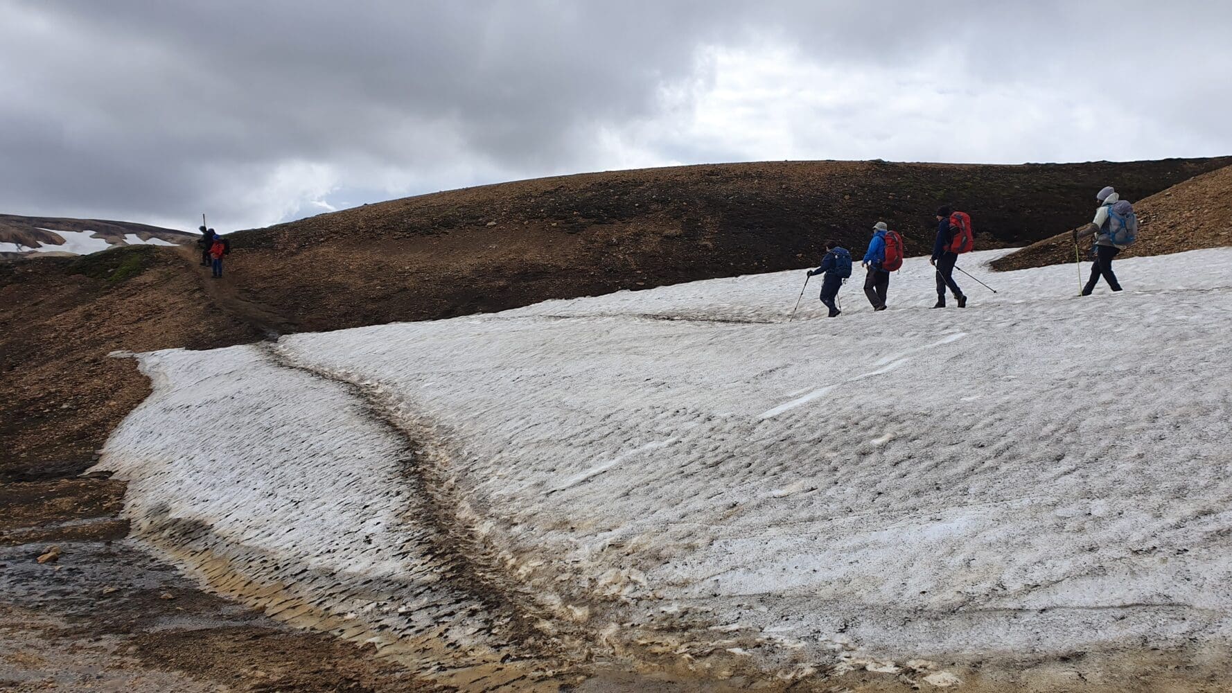
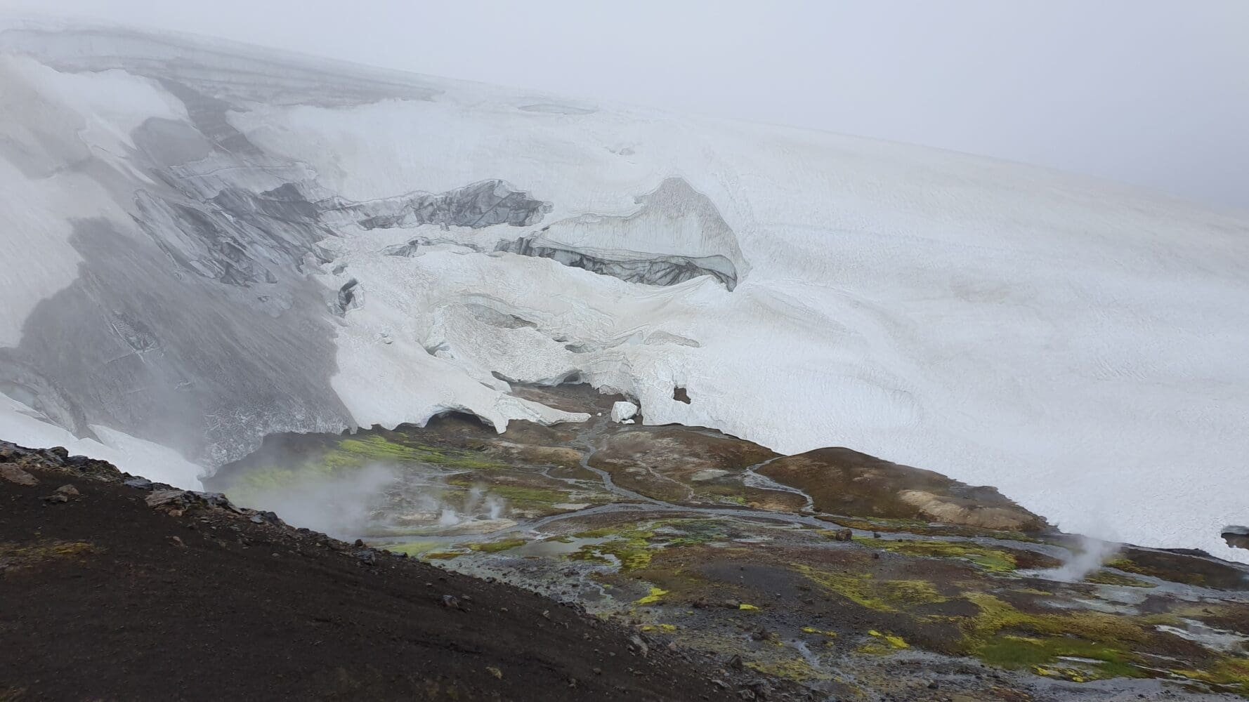
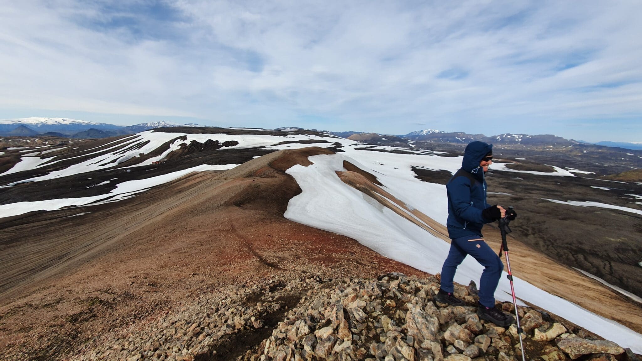
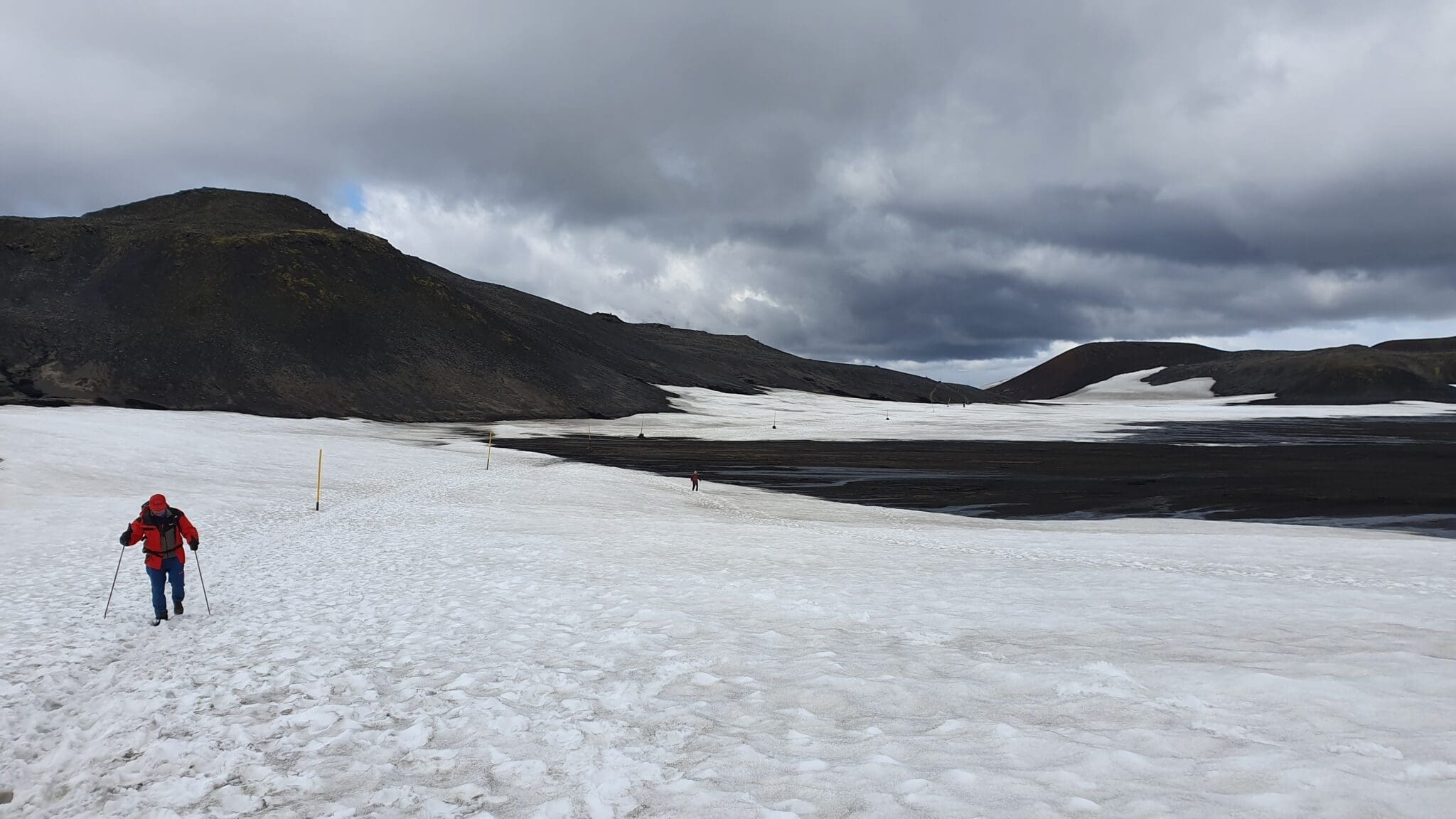
As we ascend, the landscape changes dramatically. We will reach Hrafntinnusker, known for its impressive deposits of black obsidian. Hrafntinnusker also houses the Höskuldsskáli mountain hut, but we will continue our route. In this area, snow and ice formations can remain even during the summer, creating an almost surreal landscape.
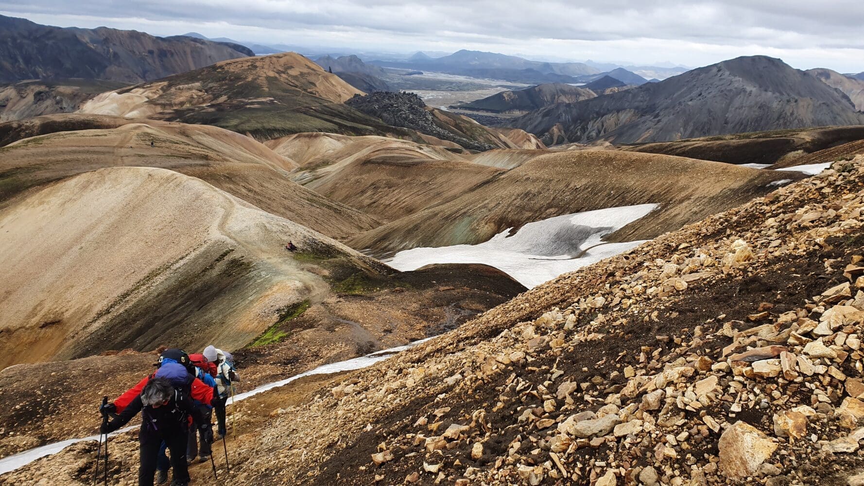
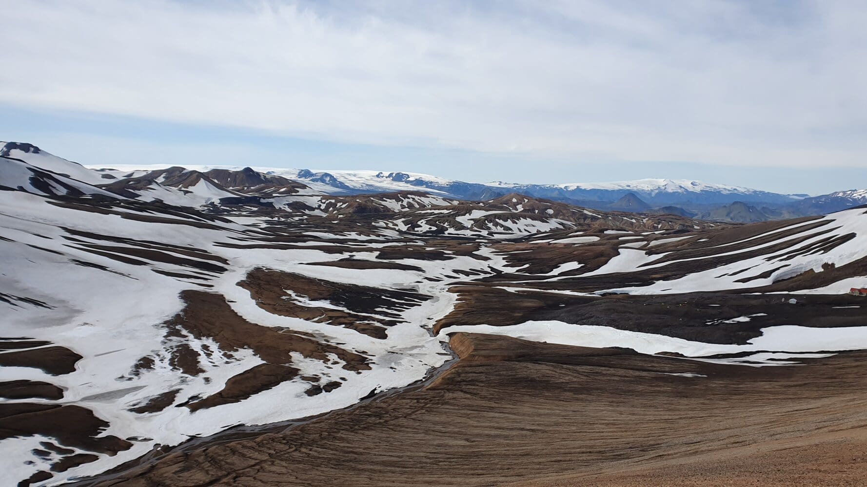
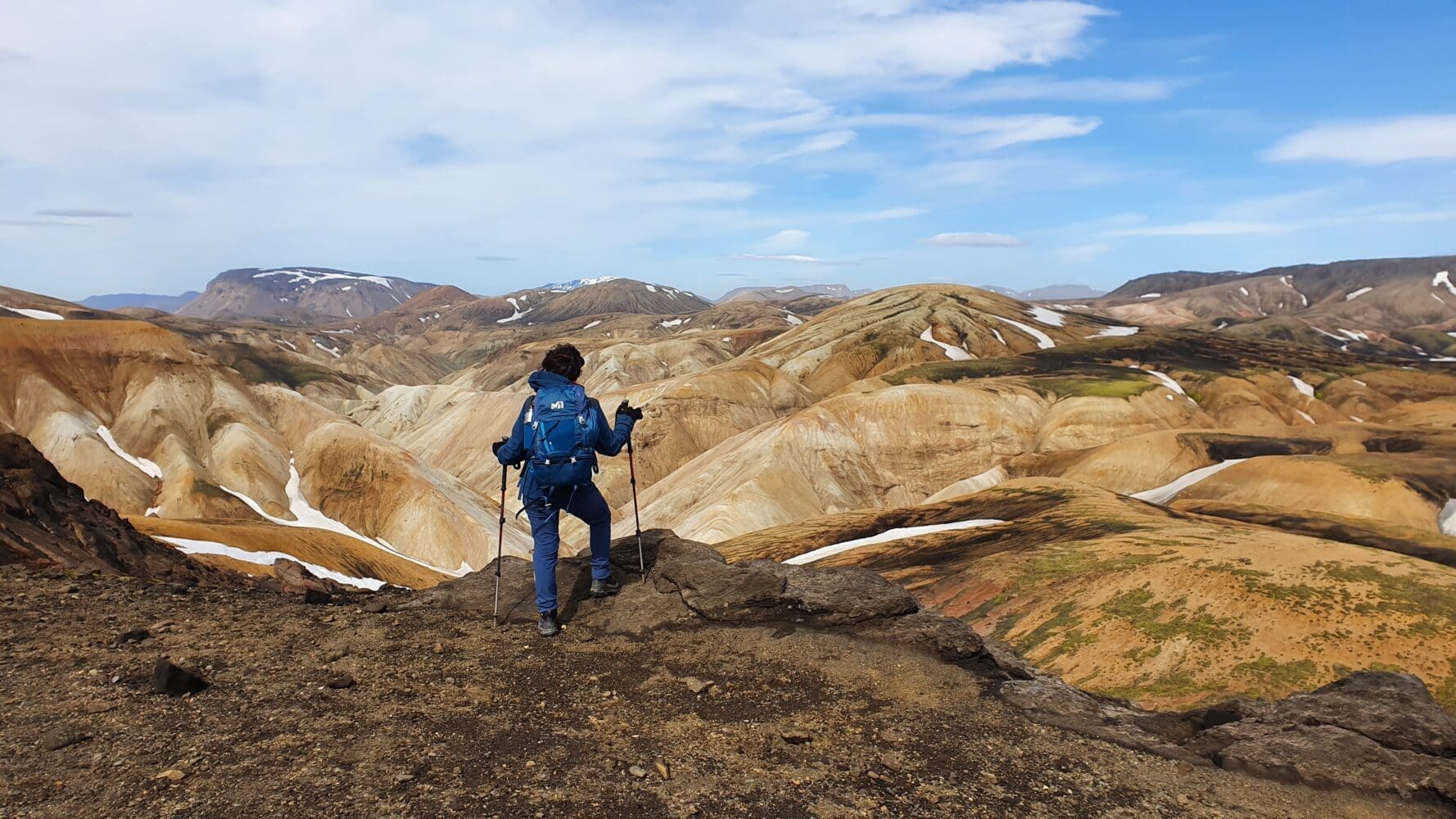
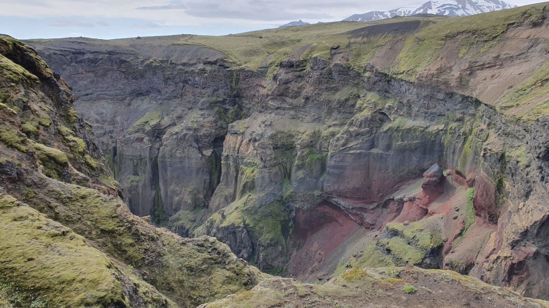
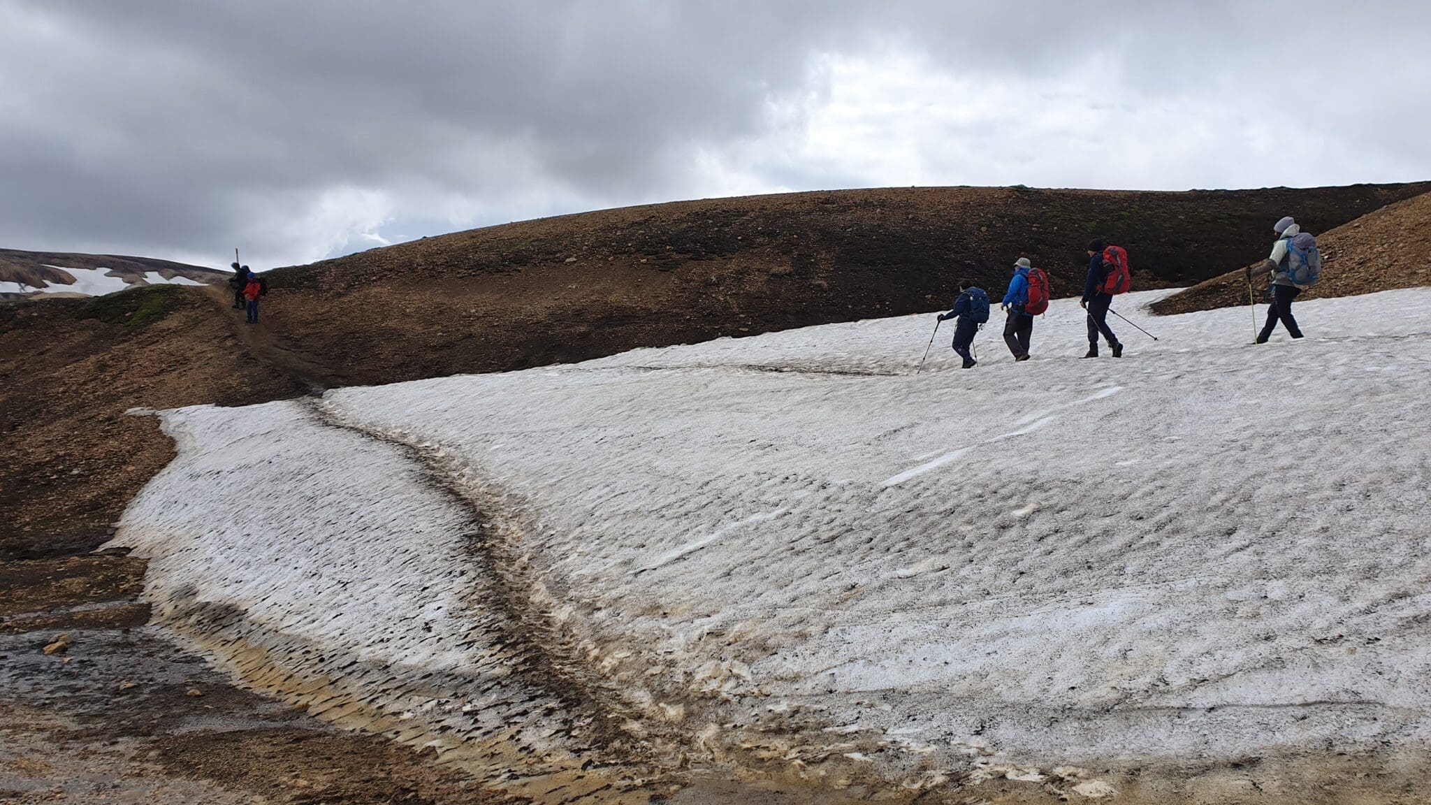
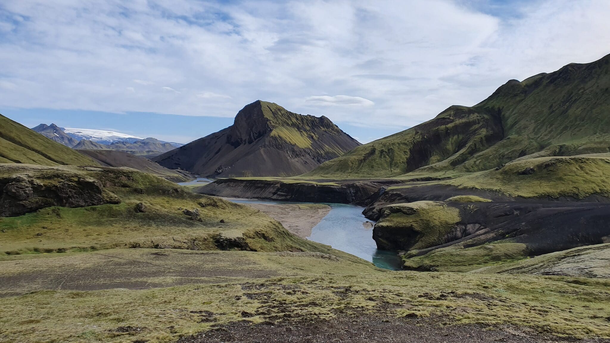
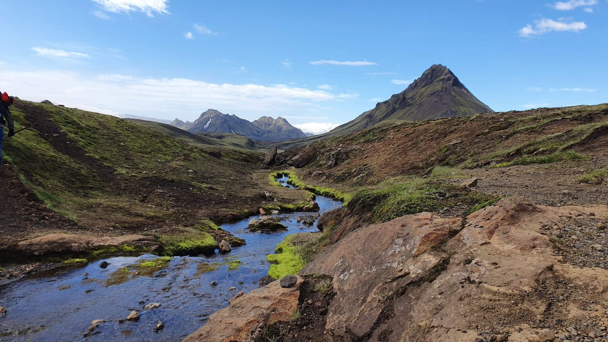
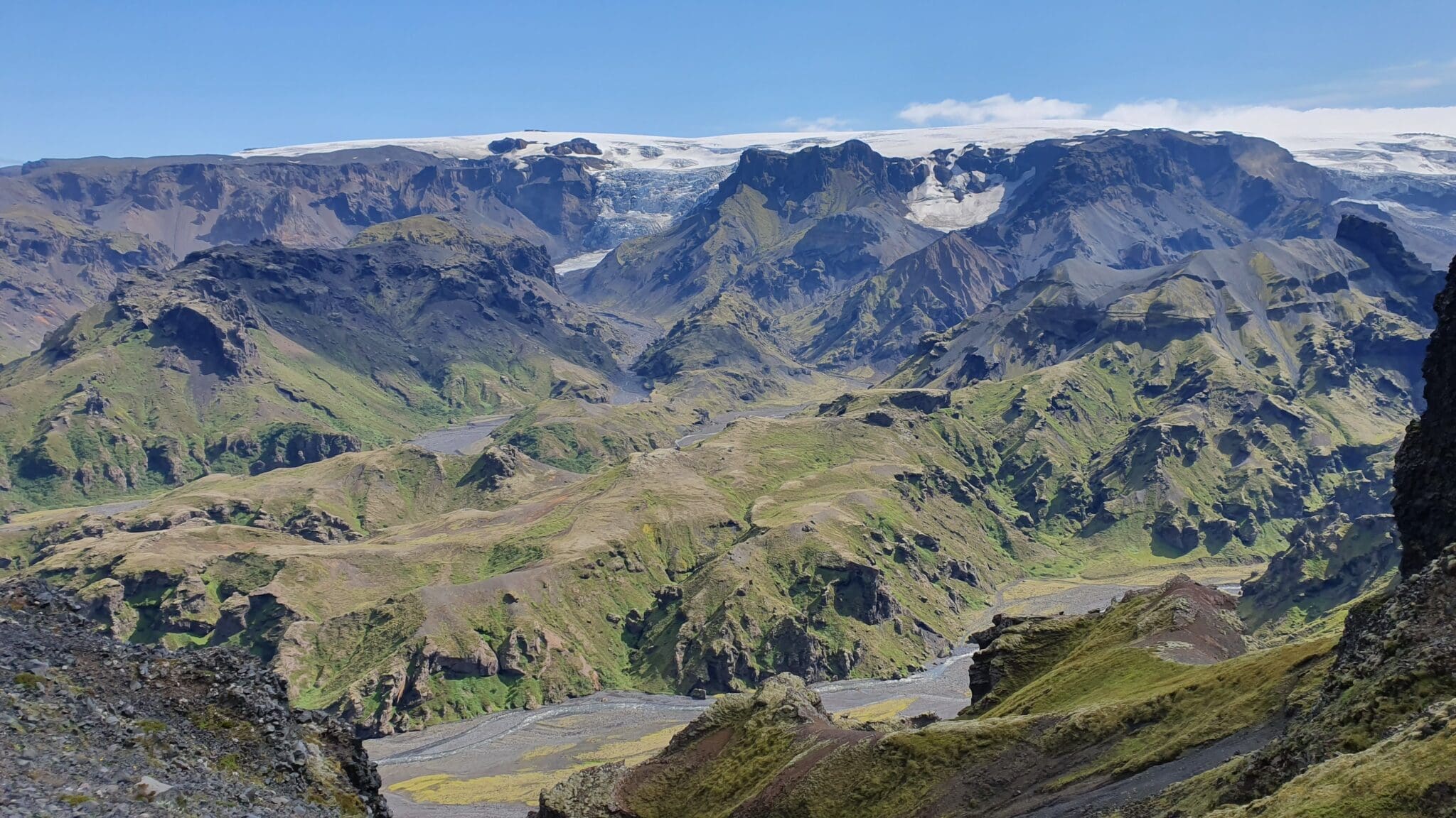
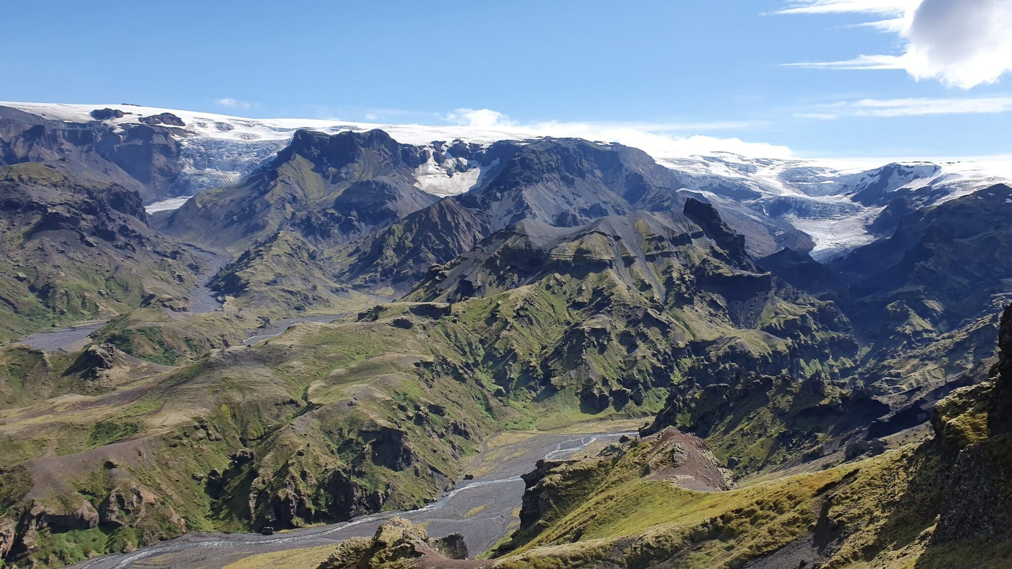
Jökultungur
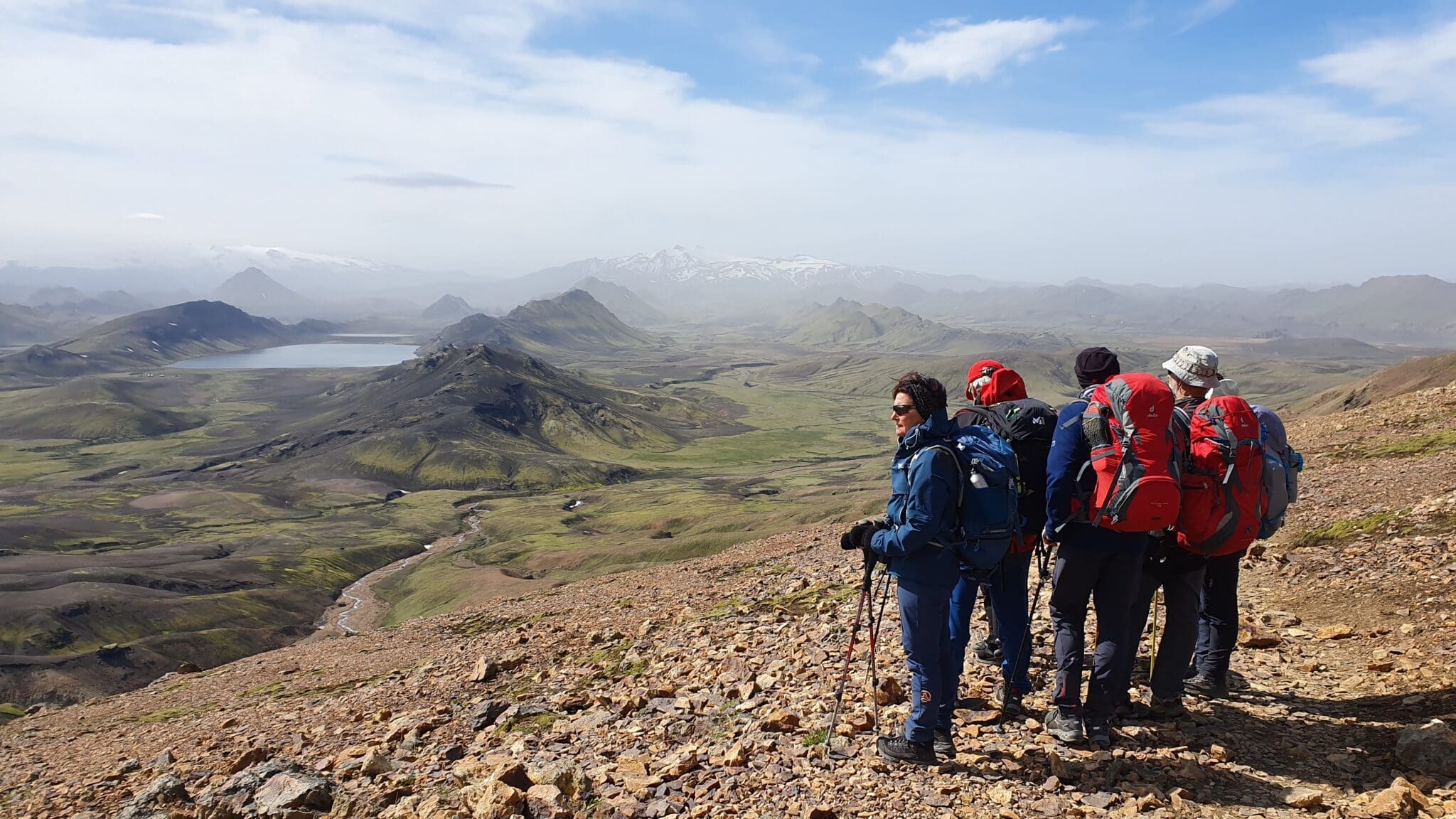
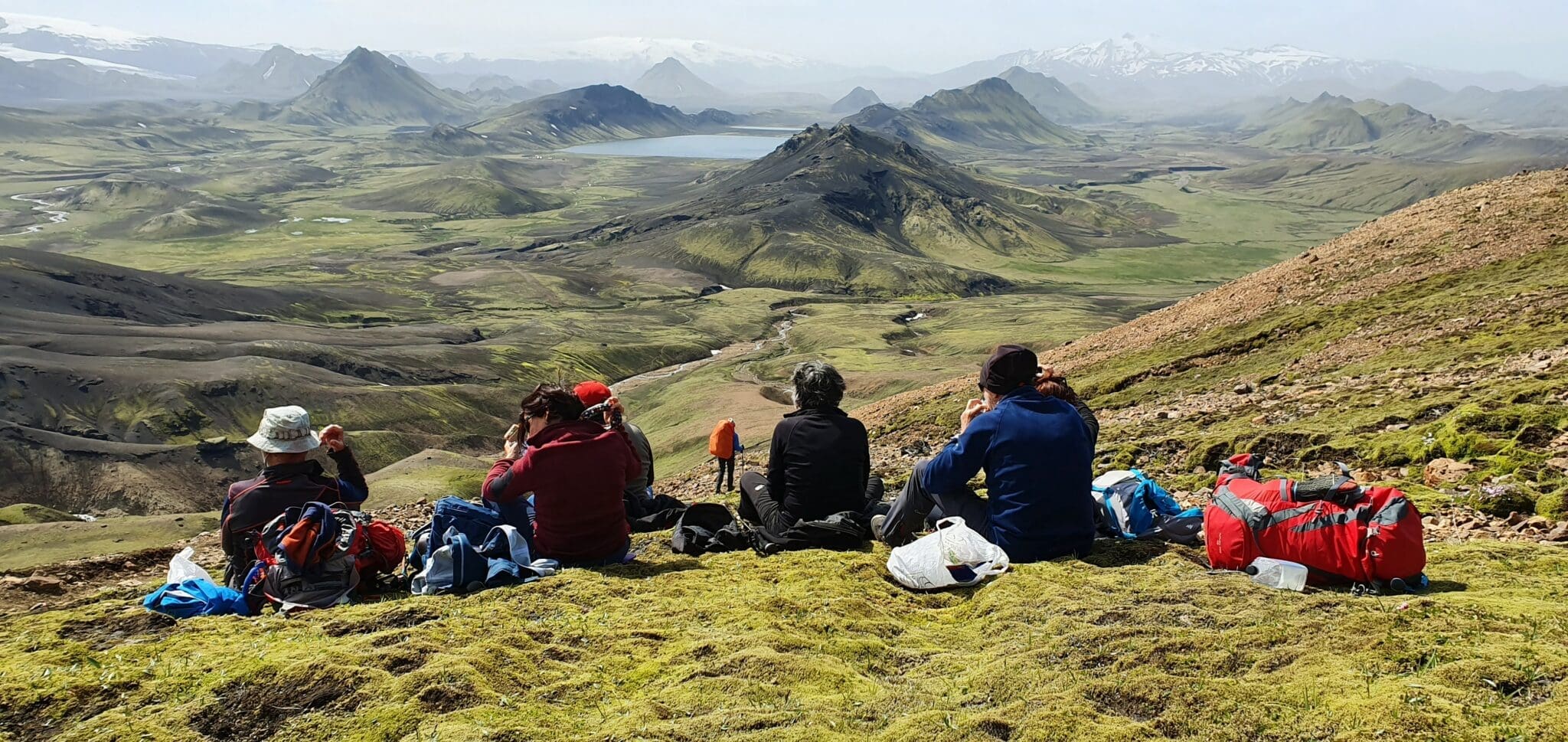
The trail from Hrafntinnusker to Álftavatn begins with a descent into the Jökultungur valley, known for its beautiful mountain formations and colorful sediments. Here, you will find streams and small lakes, and the flora changes as you descend, with more vegetation and wildflowers.
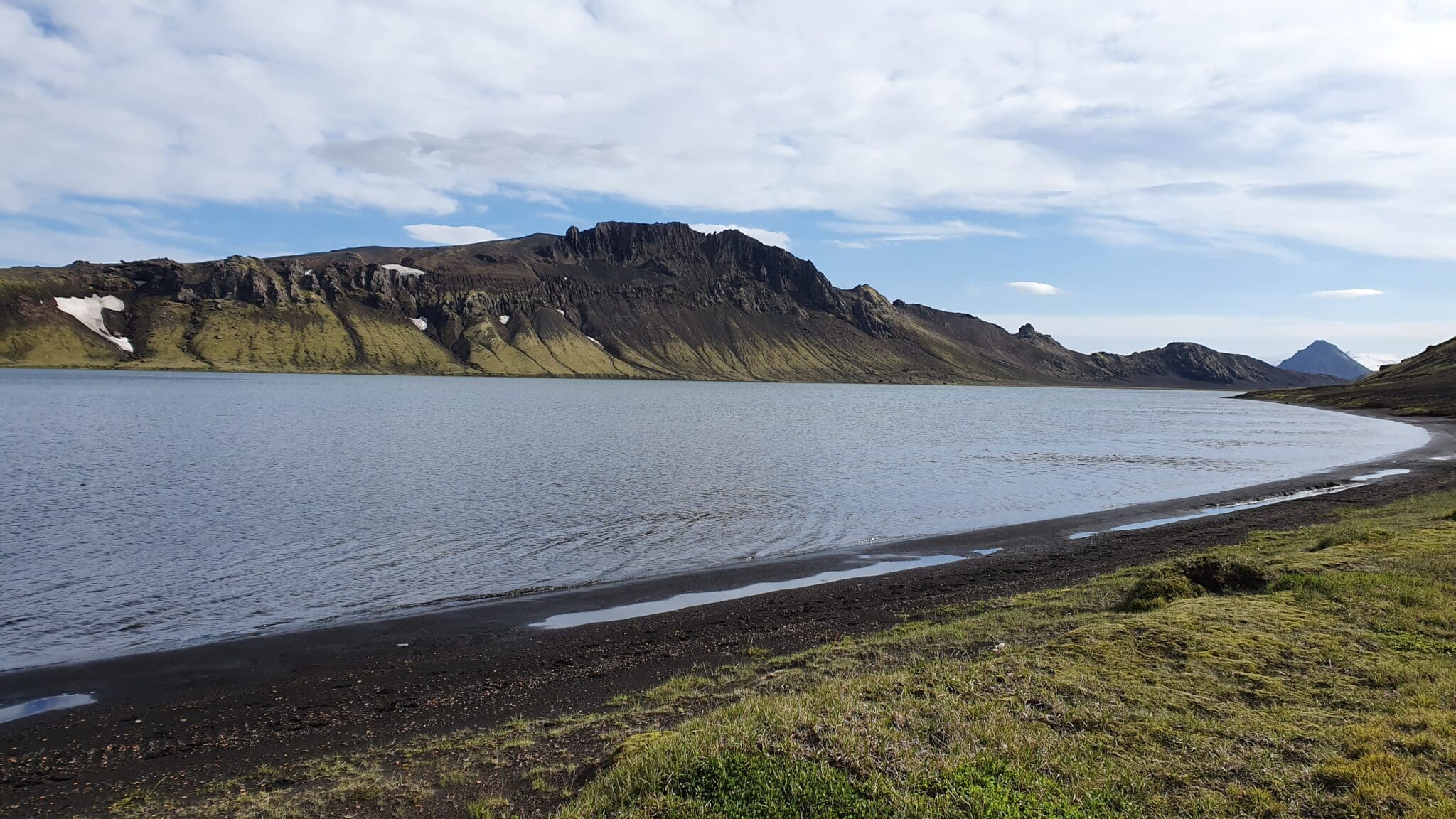
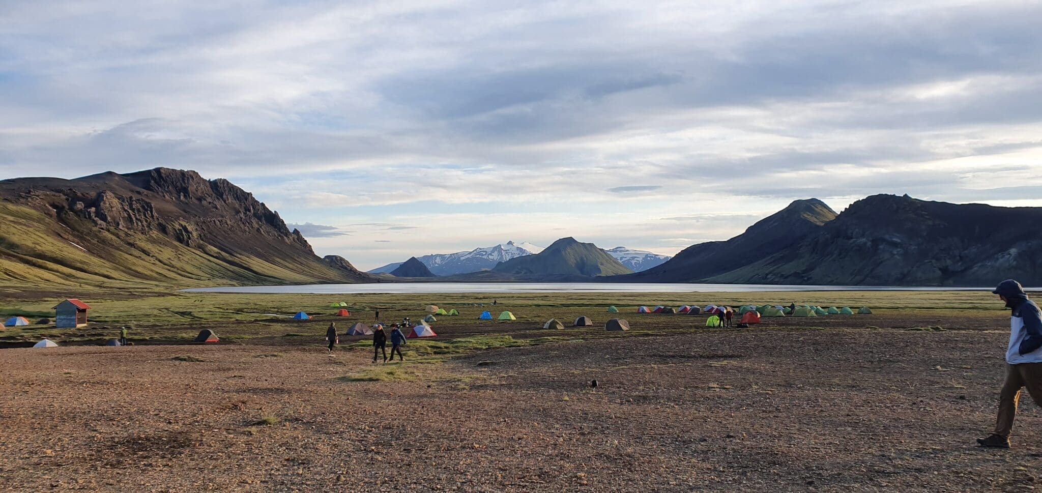
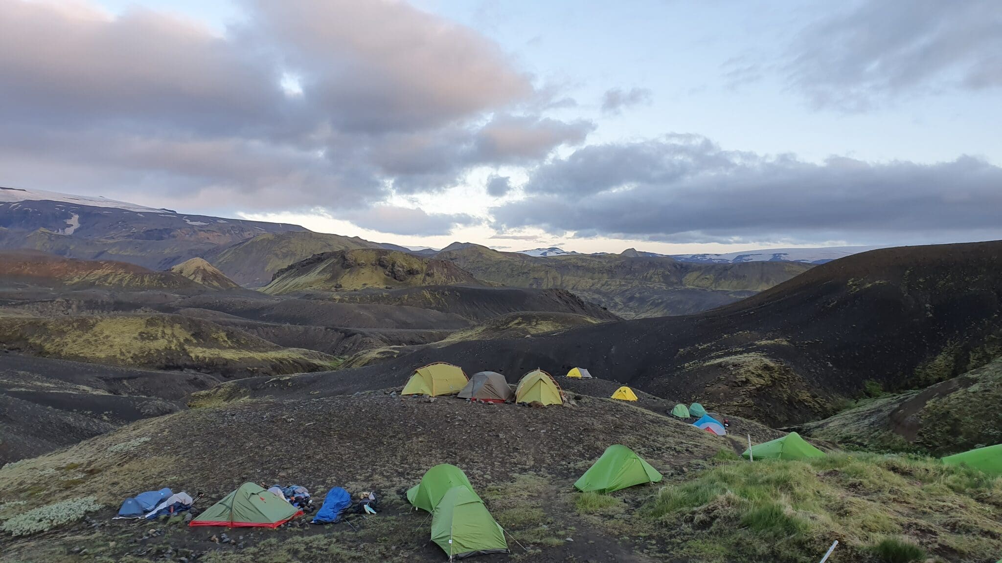
Álftavatn
The section ends at Lake Álftavatn, surrounded by mountains and a serene landscape. Álftavatn, meaning “Swan Lake,” is where we will camp and relax after the hike. The view of the lake with the mountains in the background is one of the highlights of the route.
Distance: 24 km
Ascent: 629 m
Descent: 692 m
Duration: 8-9 hours
- Álftavatn -> Emstrur
Álftavatn
The hike from Álftavatn to Emstrur begins in the beautiful surroundings of Lake Álftavatn, surrounded by mountains and green meadows. This spot is perfect for enjoying a peaceful sunrise before starting the hike.
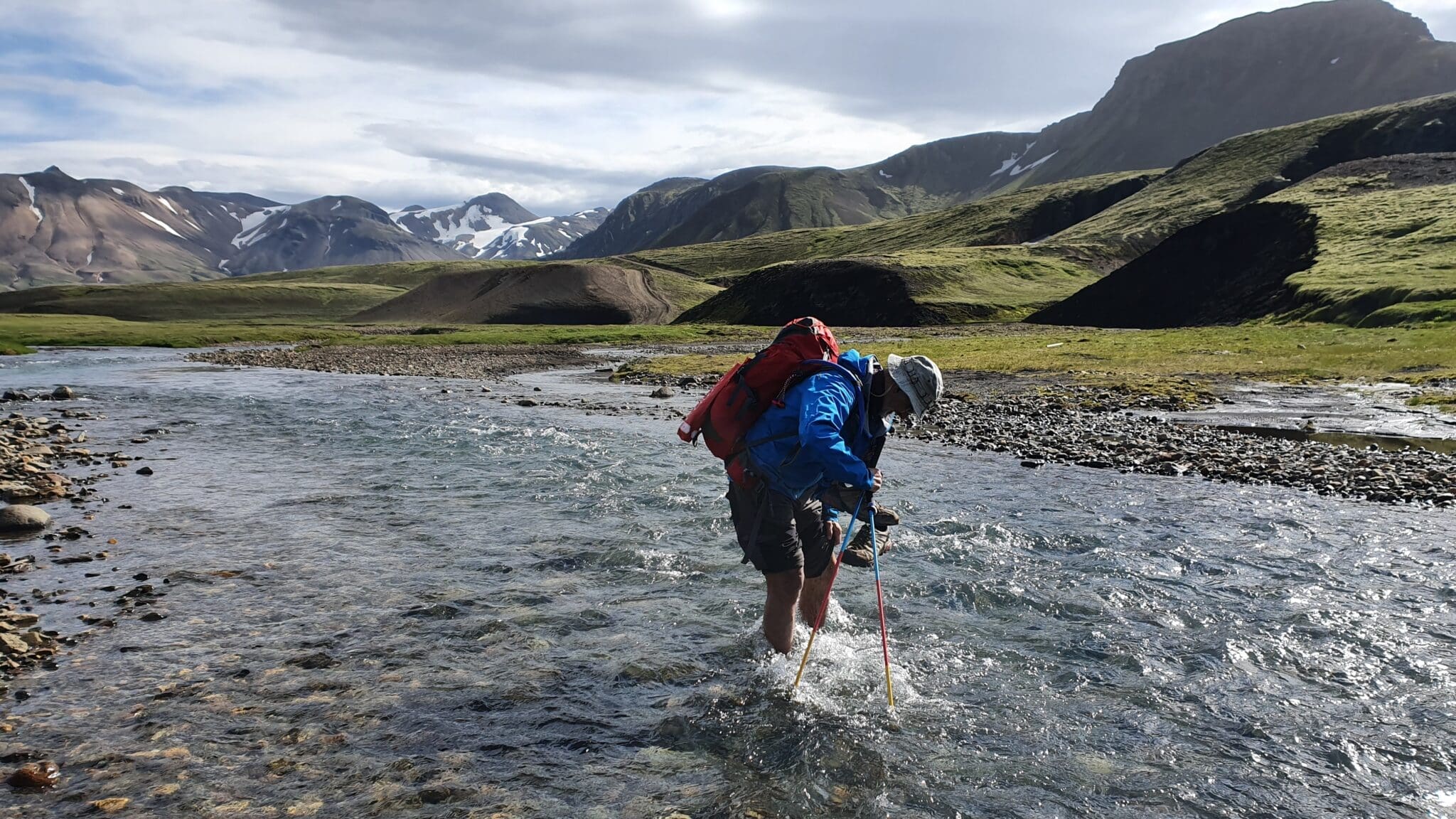
Crossing the Brattháls River
The route continues towards the Brattháls river crossing, where you will cross the Kaldaklofskvísl river. Here, the panoramic views of the valley and surrounding mountains are stunning. It’s a great spot to stop and take photos of the spectacular landscape.
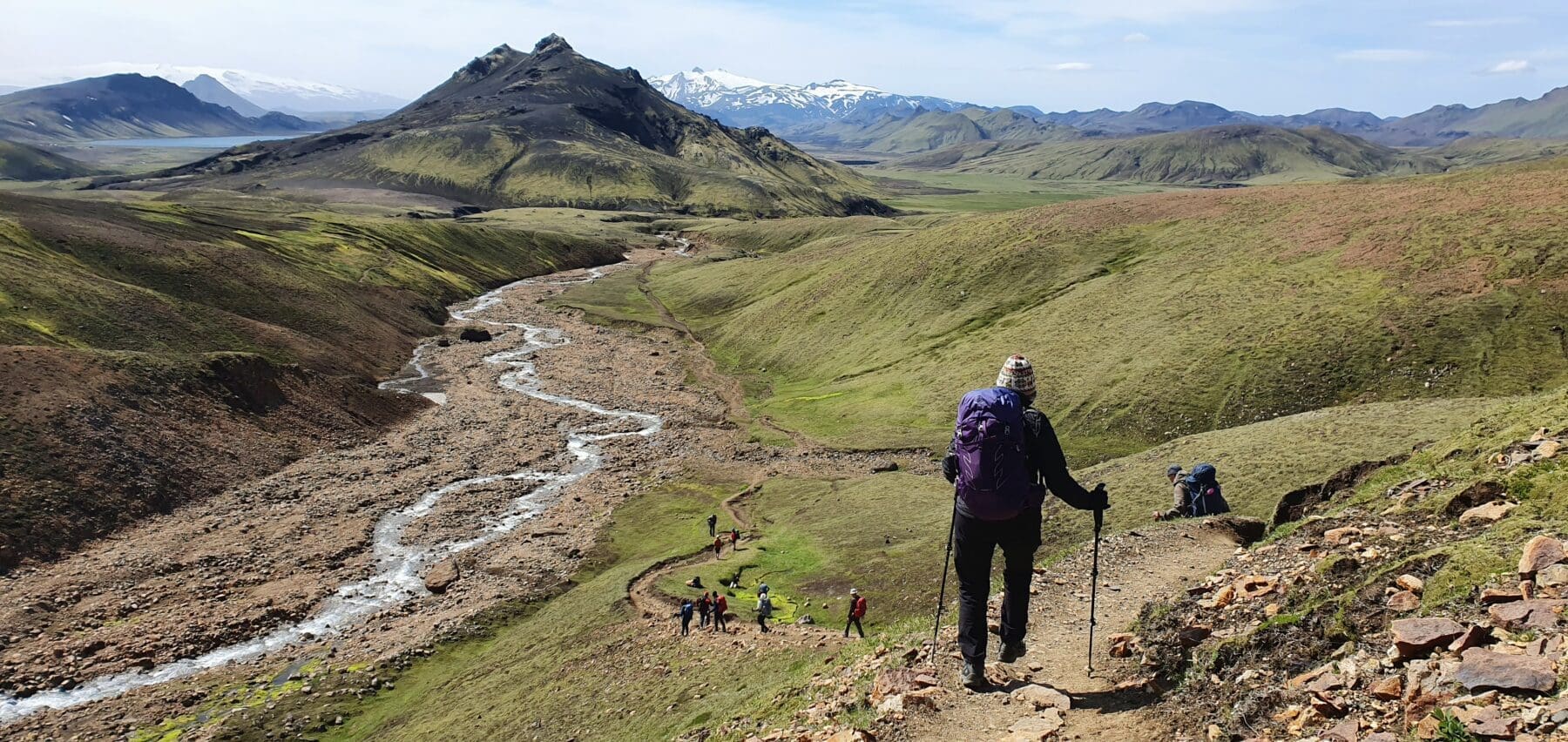
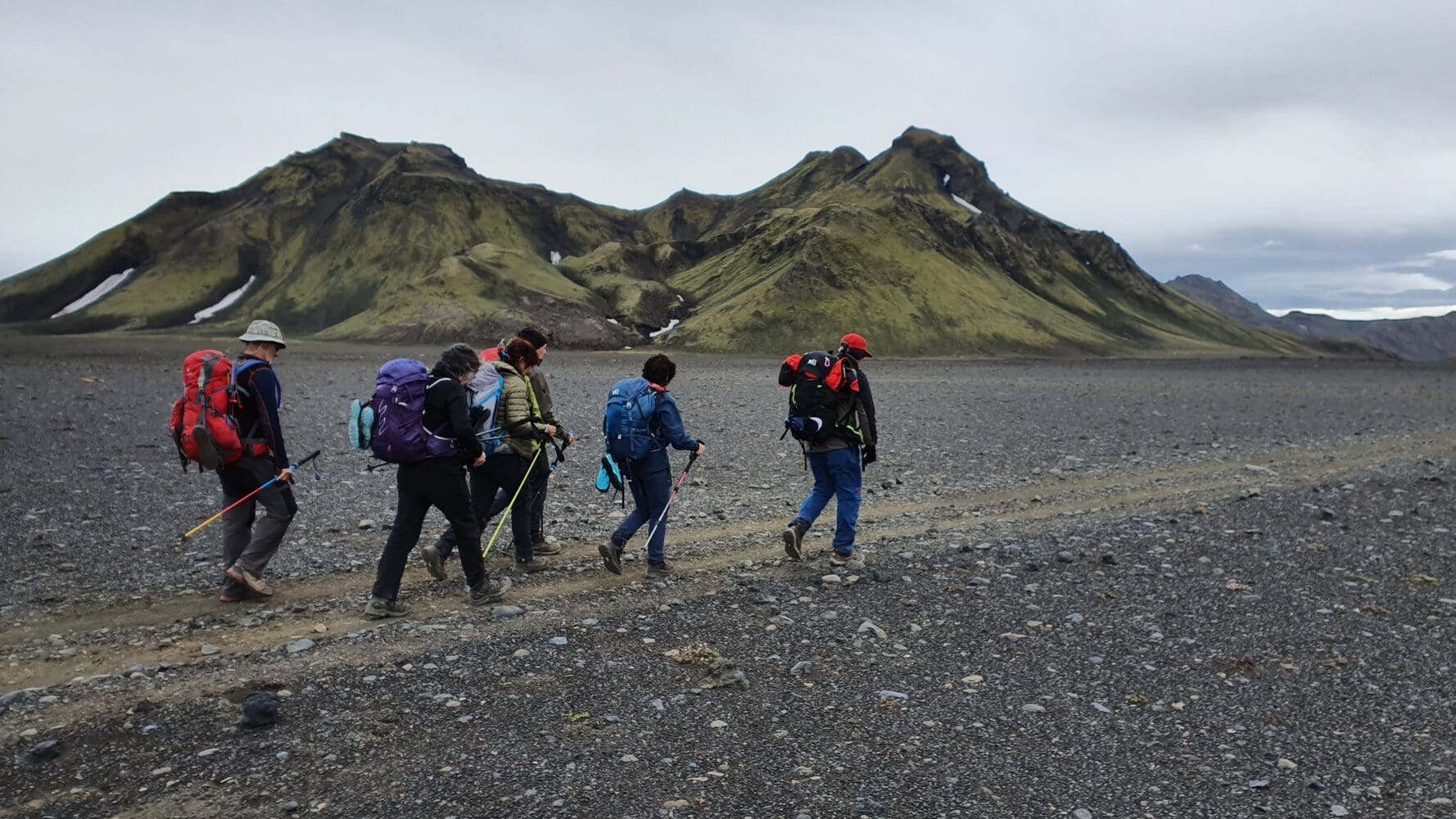
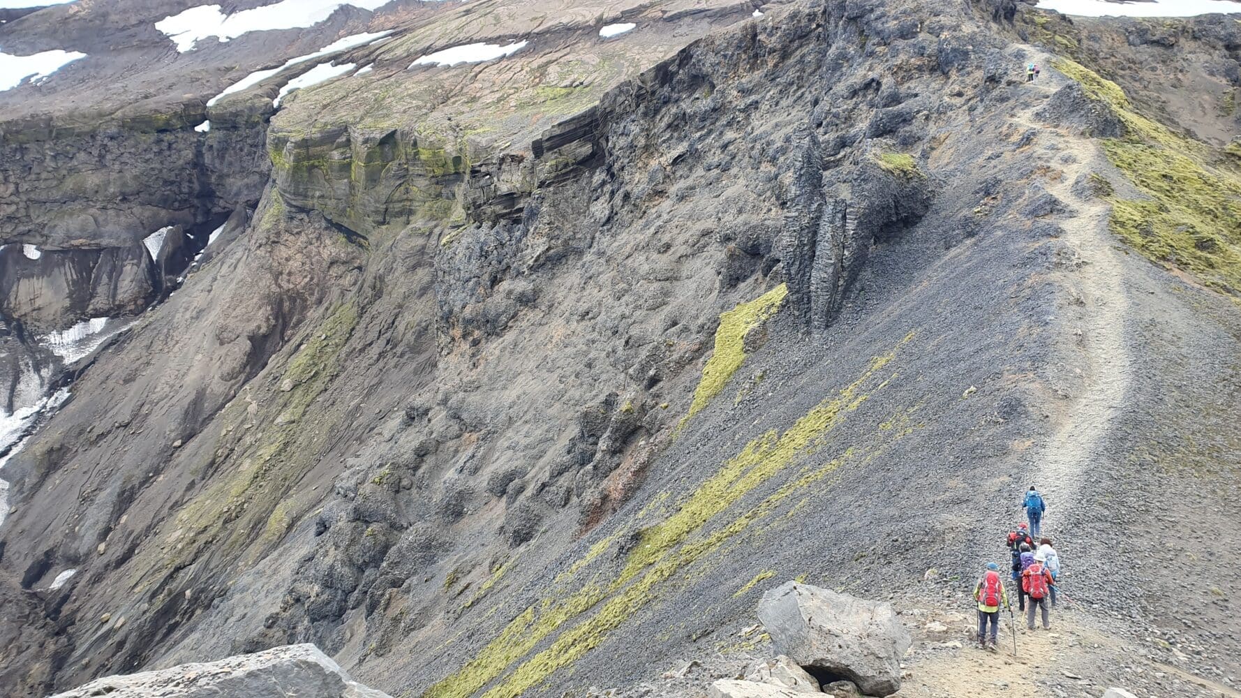
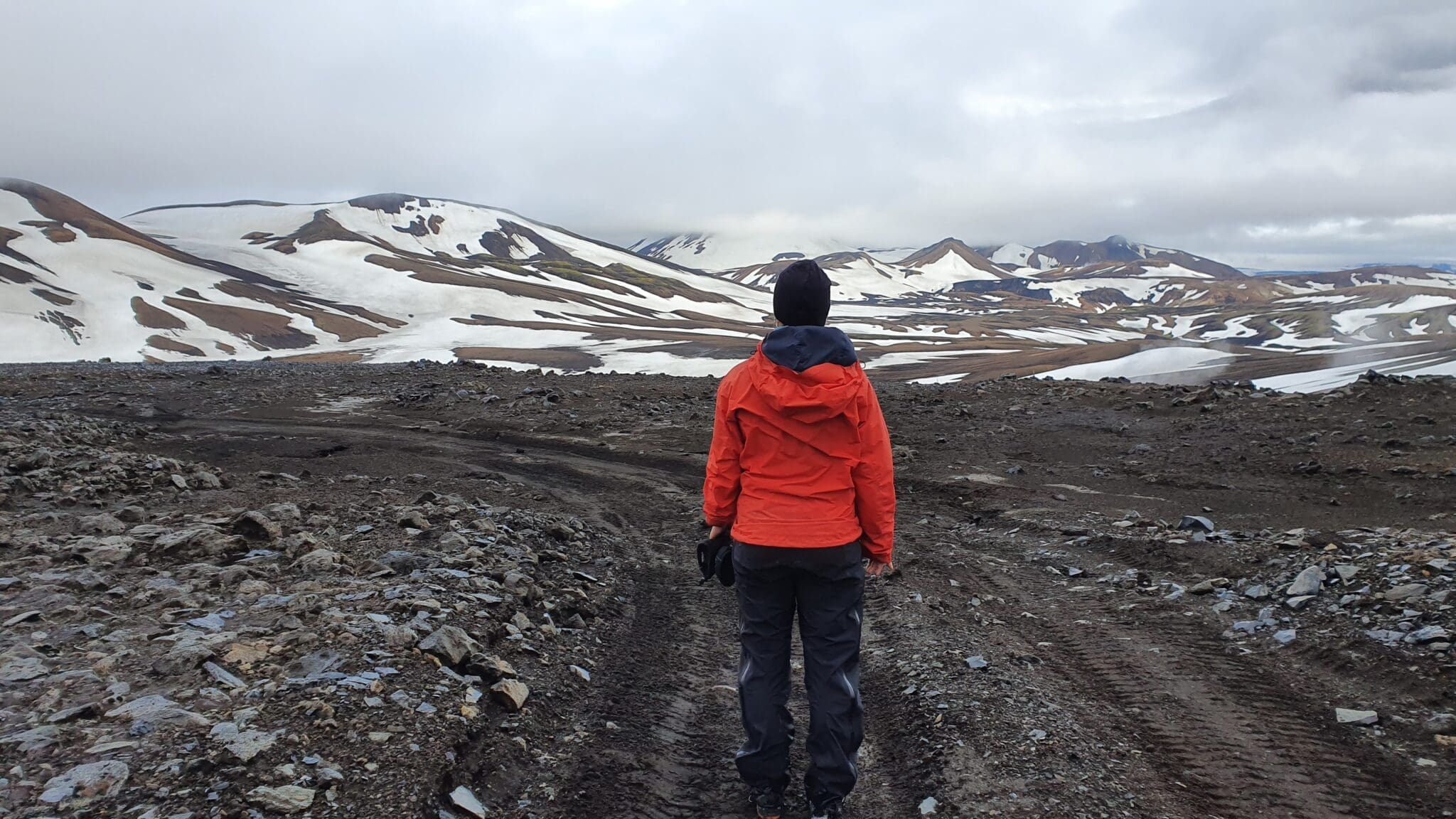
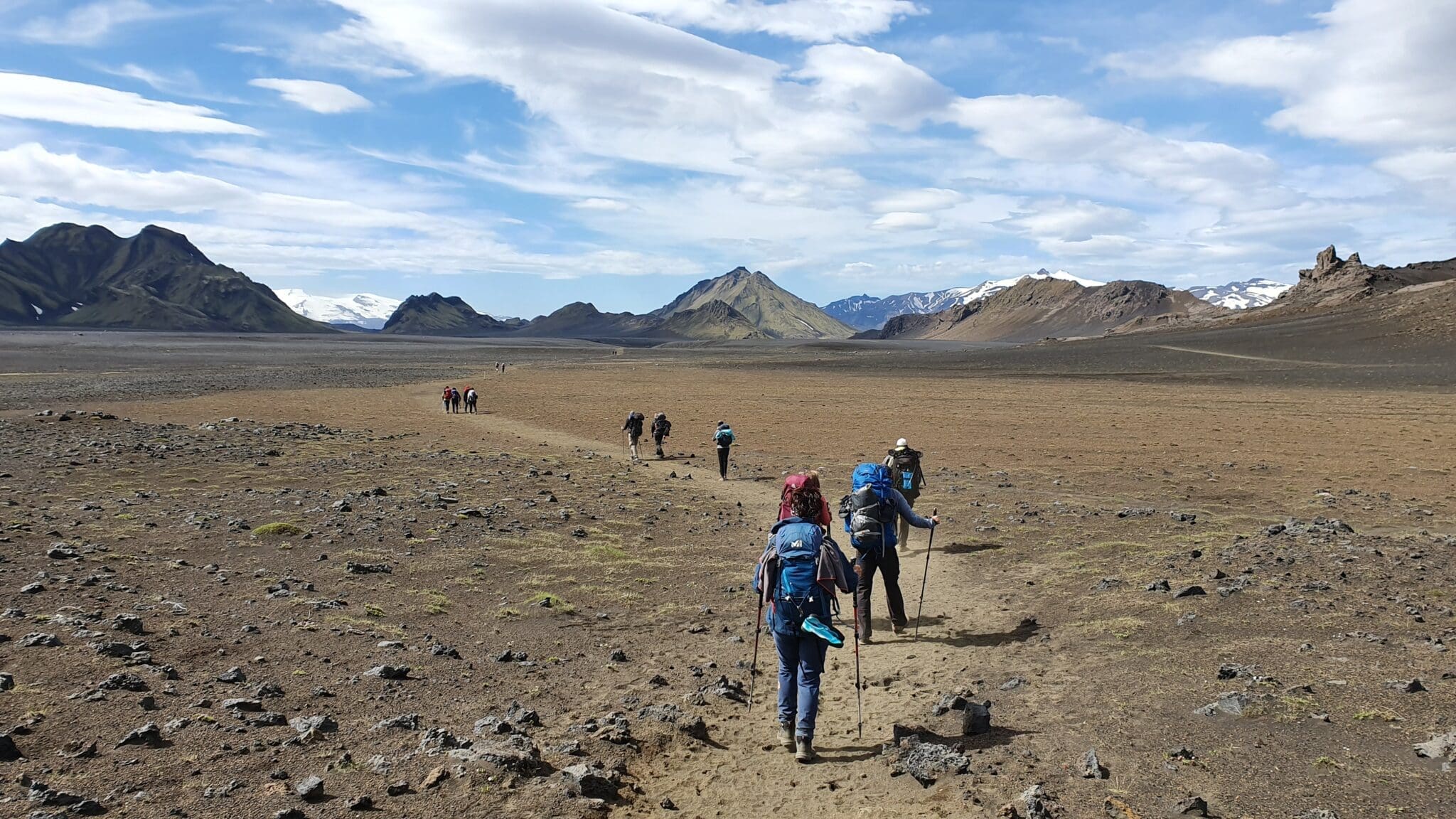
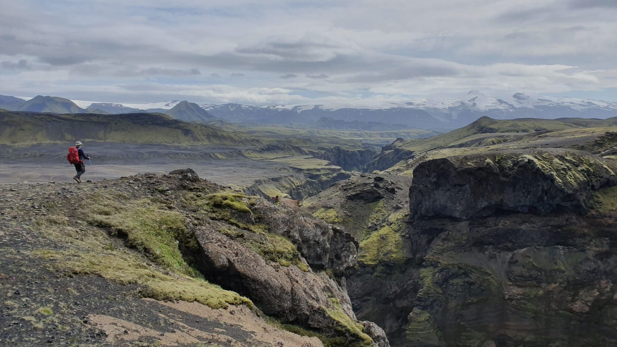
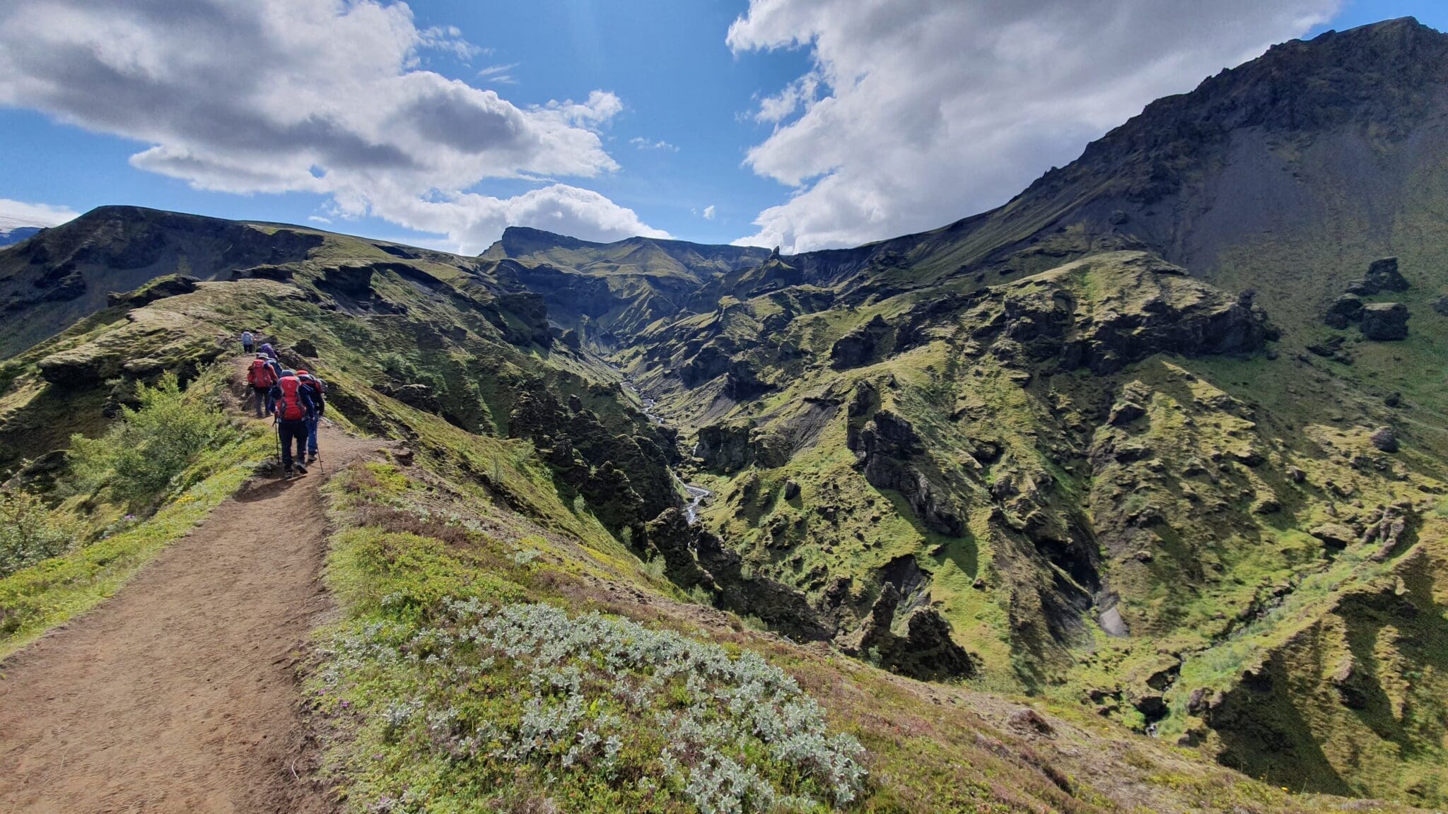
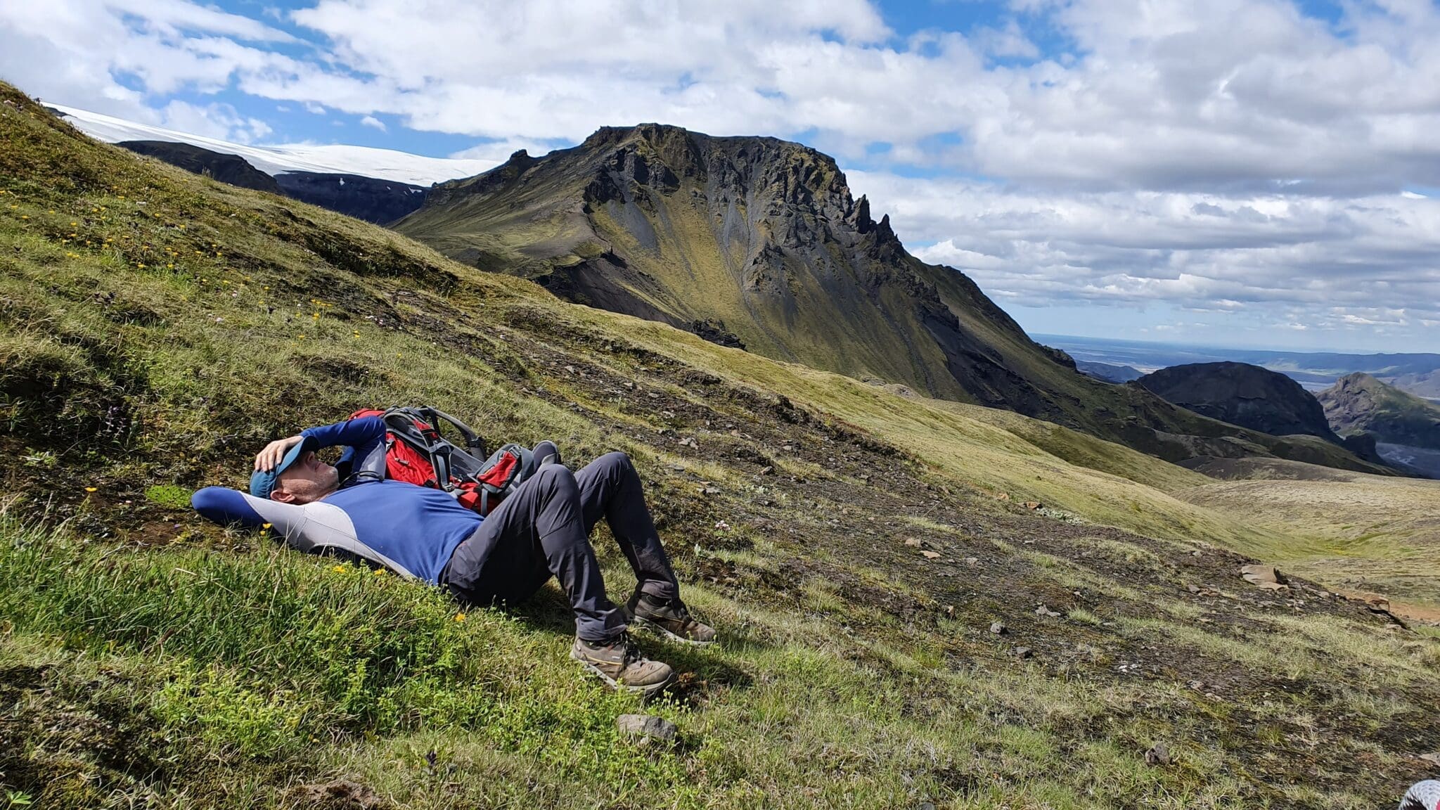
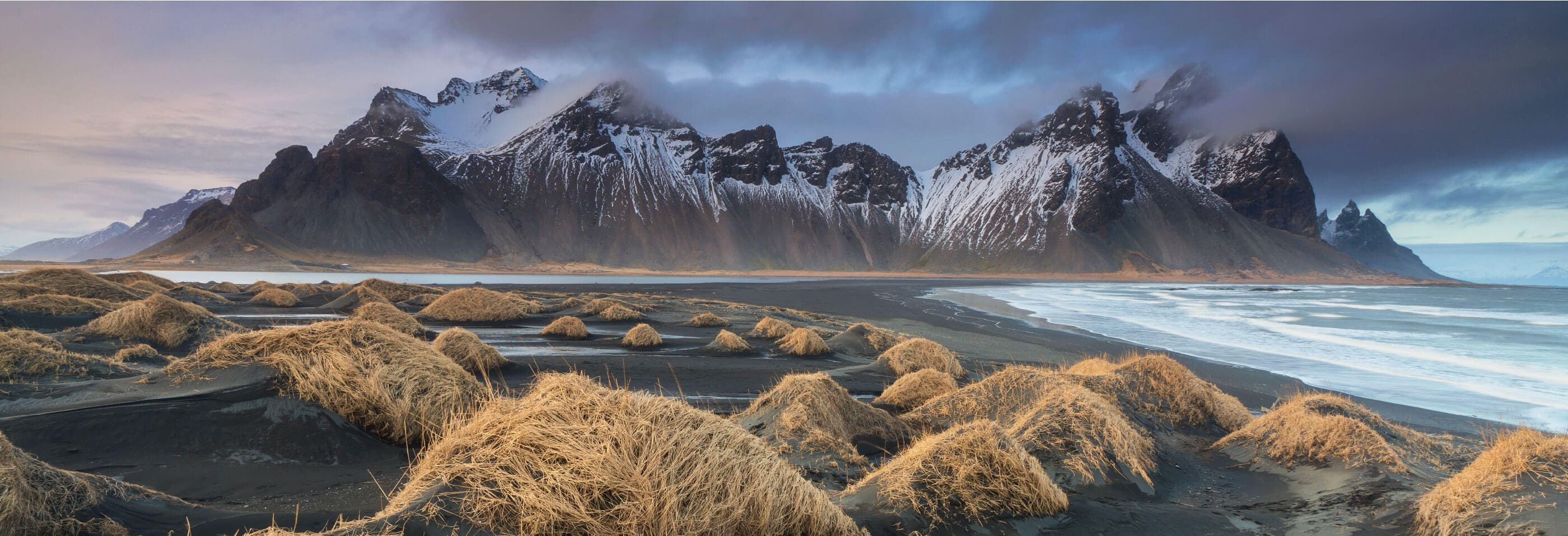
Hattafell and Mælifellssandur Desert
After crossing the river, the hike takes you through the black sand desert of Mælifellssandur. Along the way, you will pass near Mount Hattafell, a solitary mountain rising above the desert landscape, offering a striking contrast.
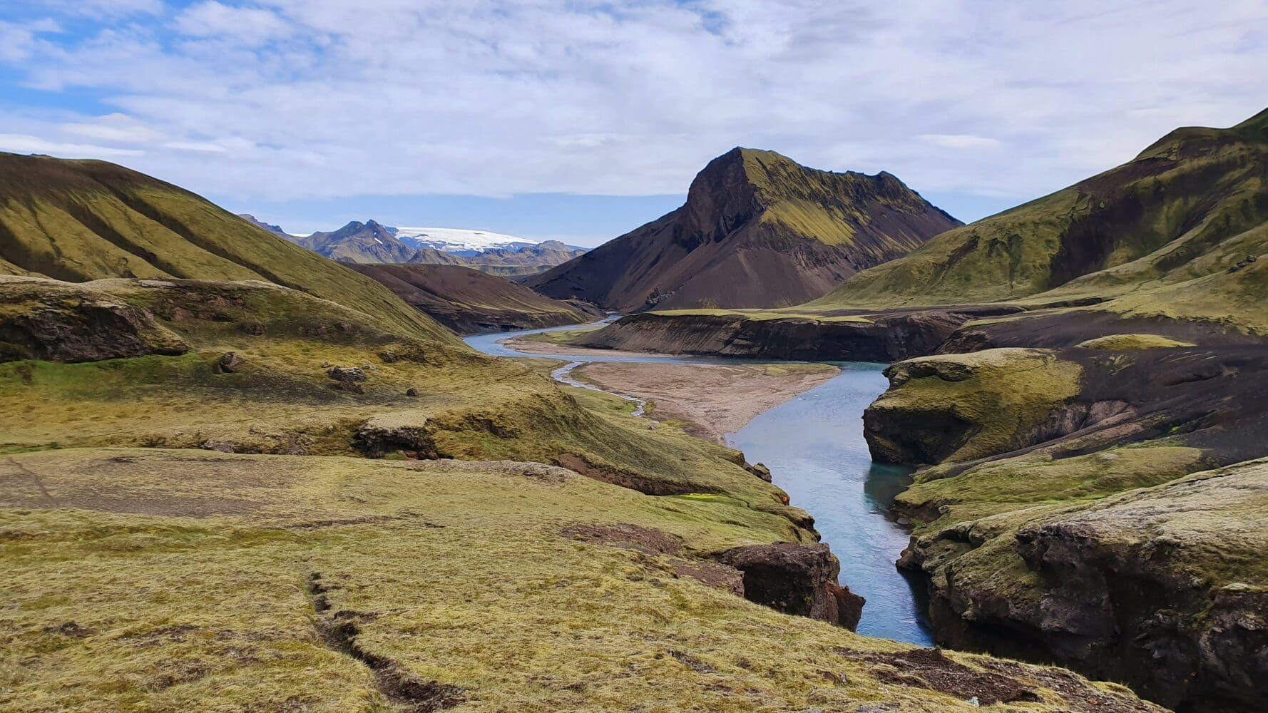
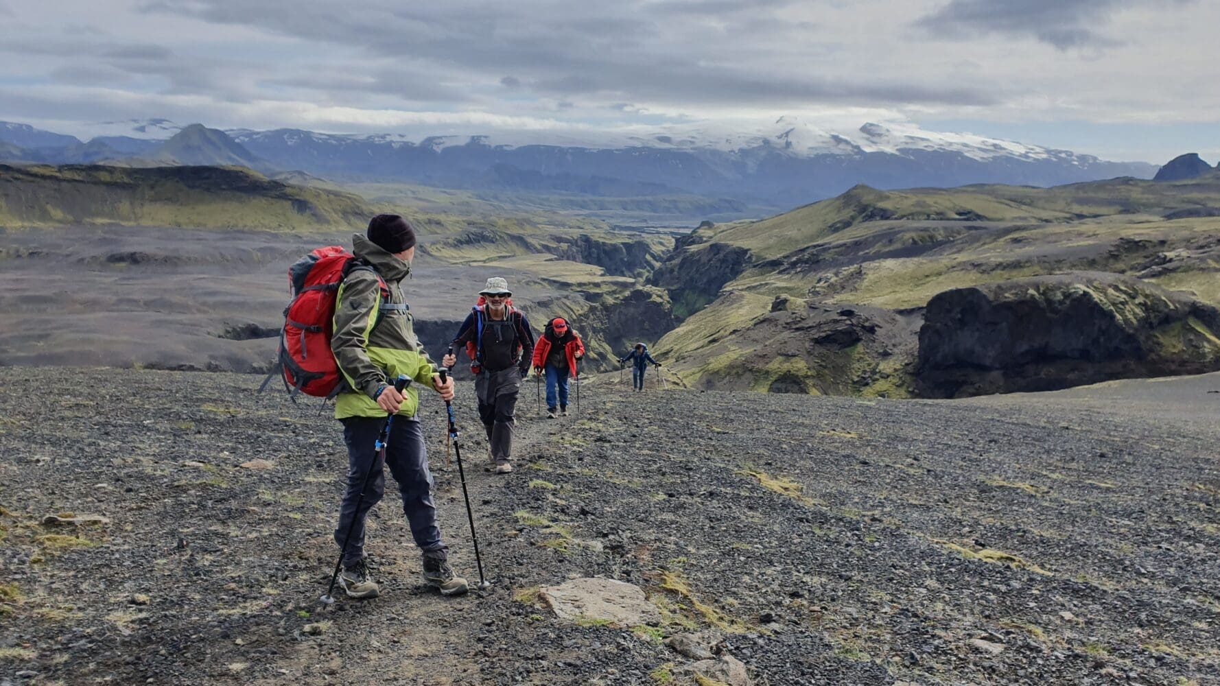
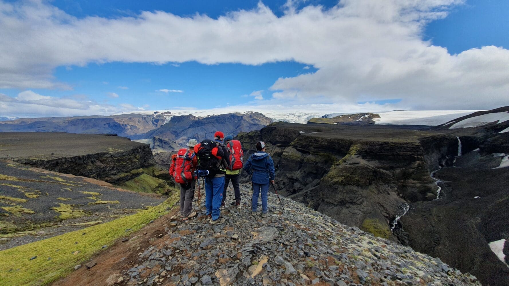
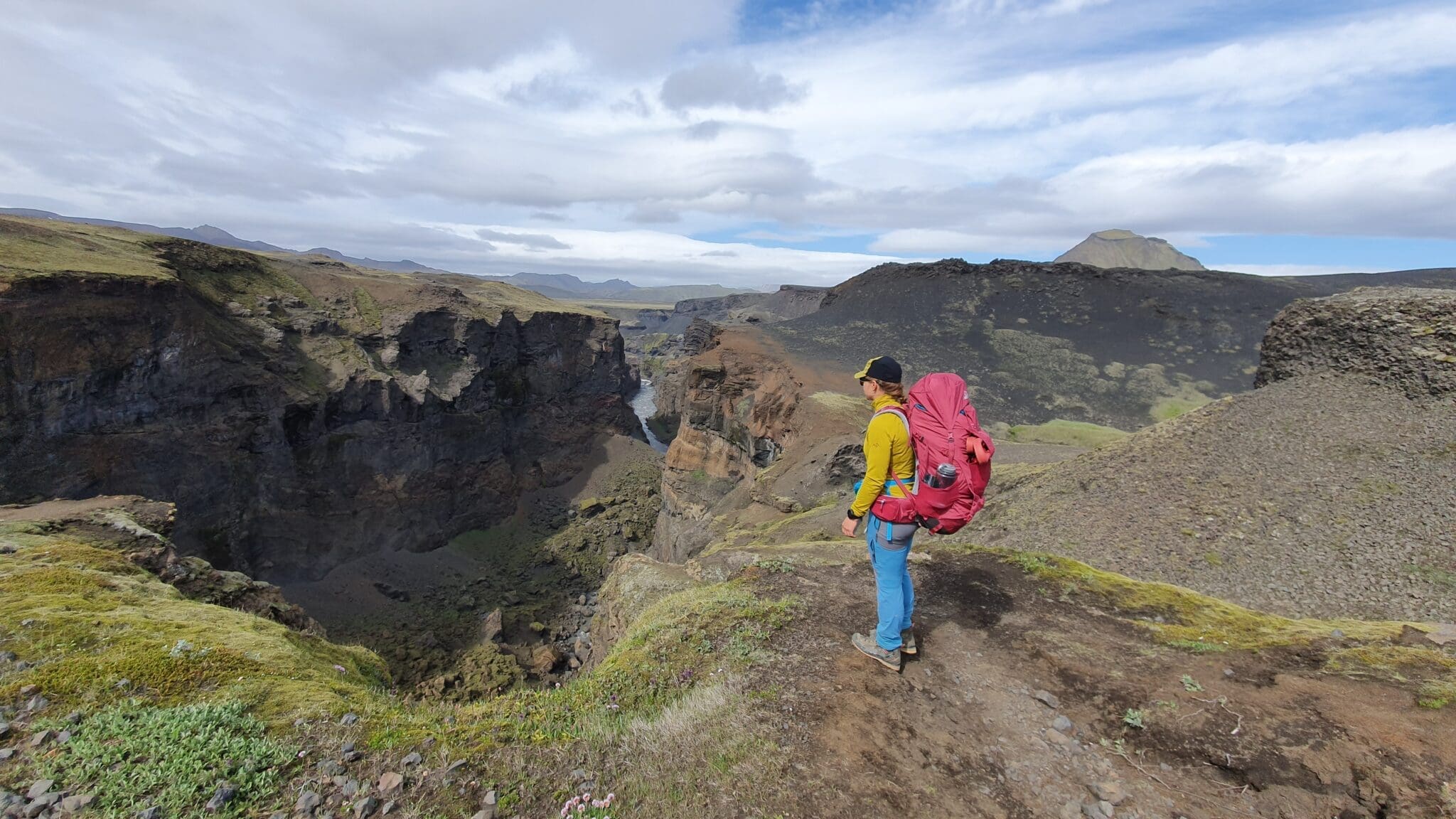
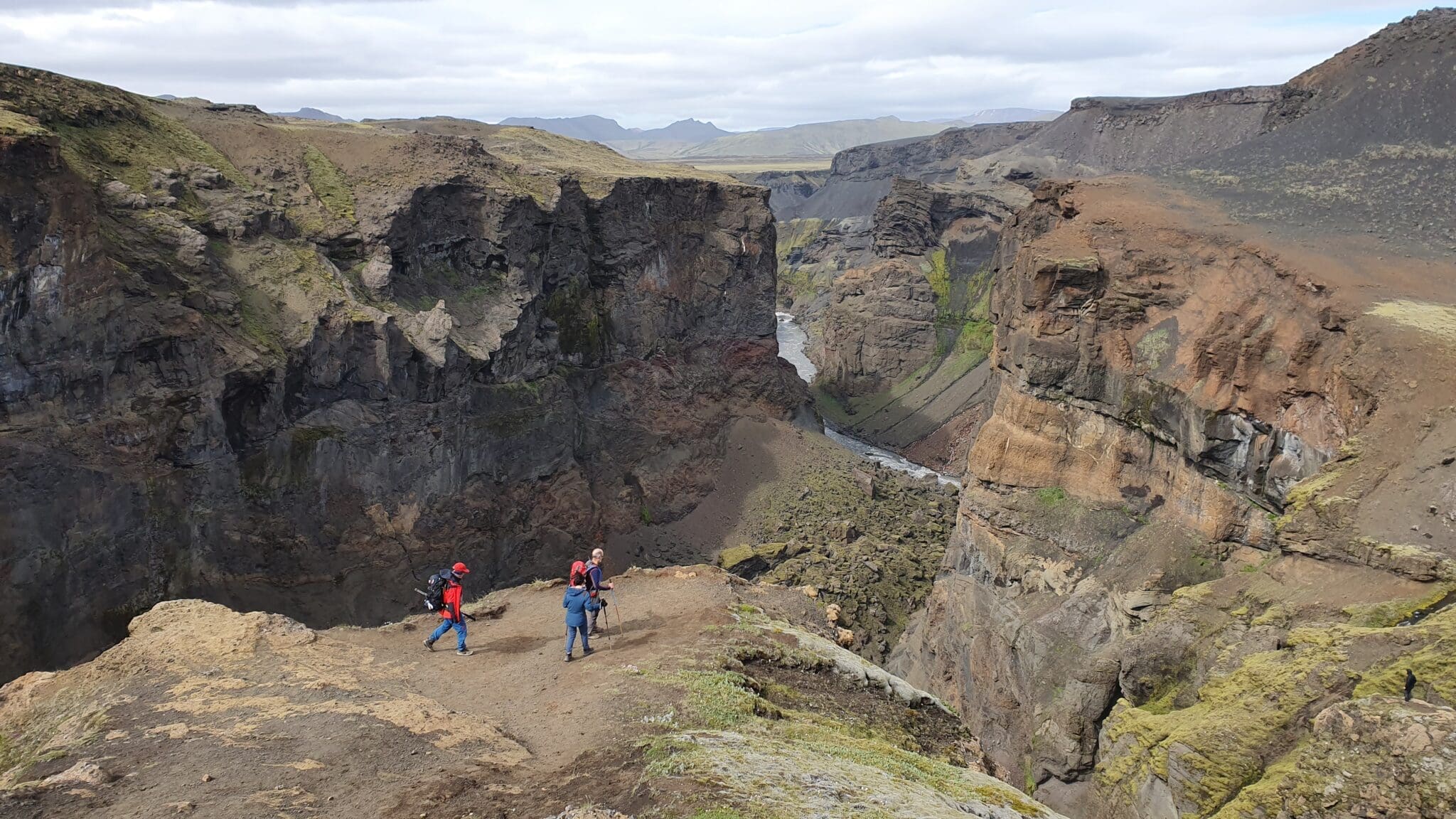
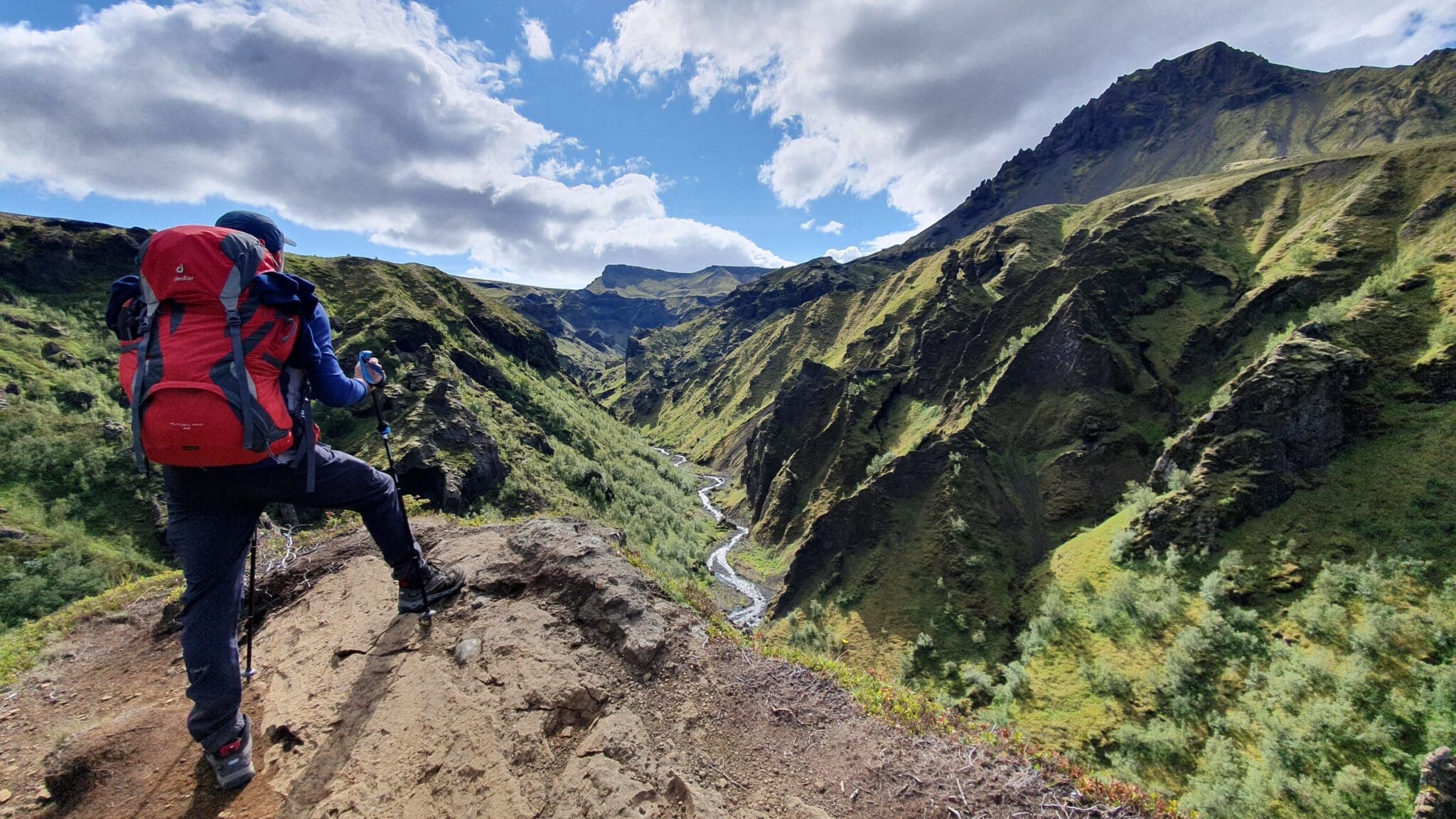
Markarfljót Gorge
Before reaching Emstrur, the route skirts the impressive gorge of the Markarfljót river. This deep and steep canyon offers dramatic views and is one of the highlights of this section of the hike.
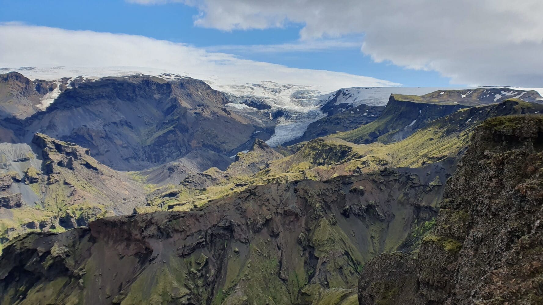
Emstrur
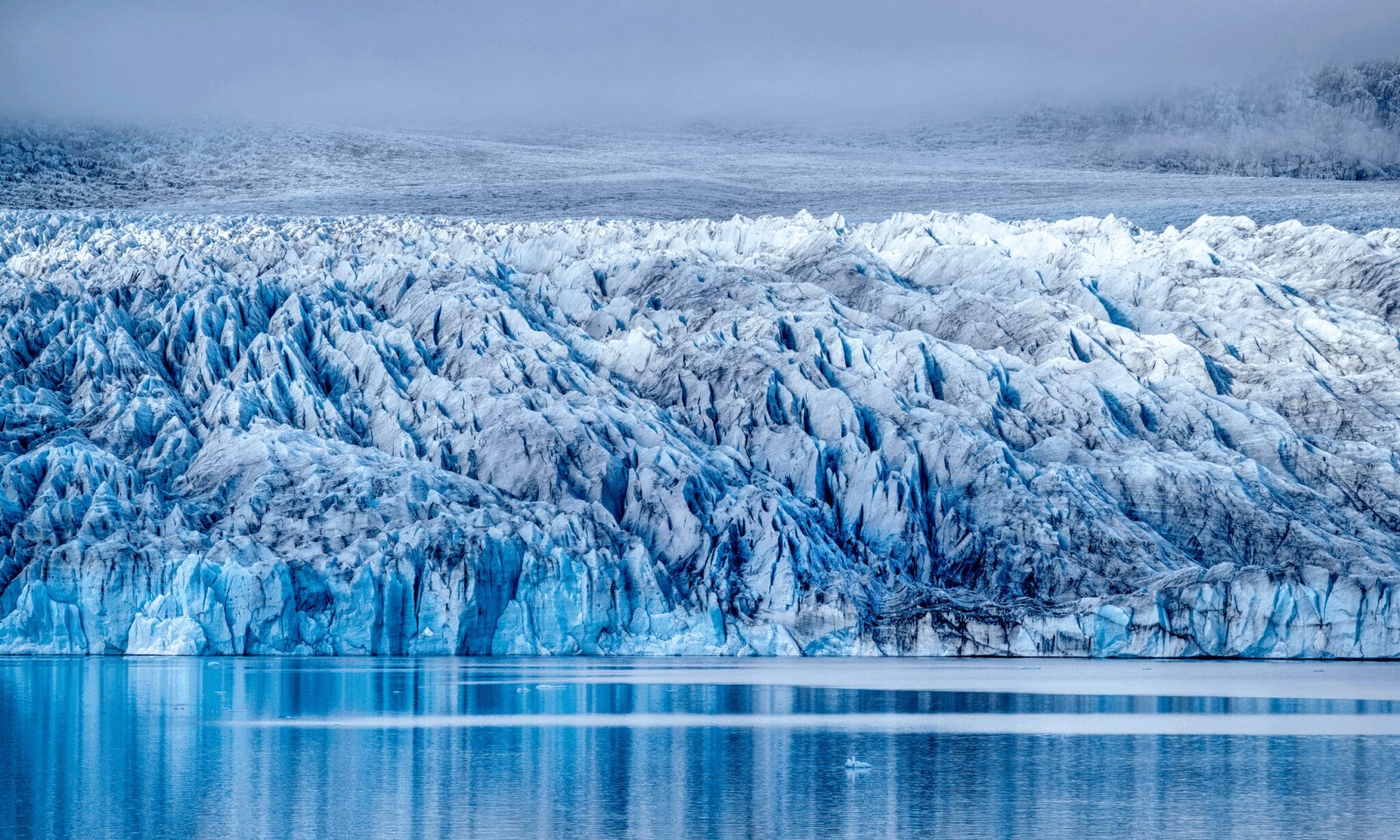
The day ends at the Emstrur campsite, located in a more arid area but with spectacular views of the Mýrdalsjökull and Eyjafjallajökull glaciers. Here you can rest and prepare for the next stage of the hike.
Distance: 15 km
Ascent: 260 m
Descent: 258 m
Duration: 4-5 hours - Emstrur -> Thórsmörk -> Reykjavík
Emstrur
From the Emstrur campsite, the hike begins with a descent into the valley, crossing small streams and tundra landscapes. The transition from the black sand desert to greener areas is remarkable.
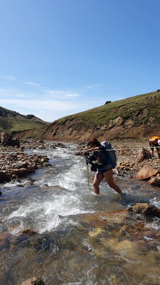
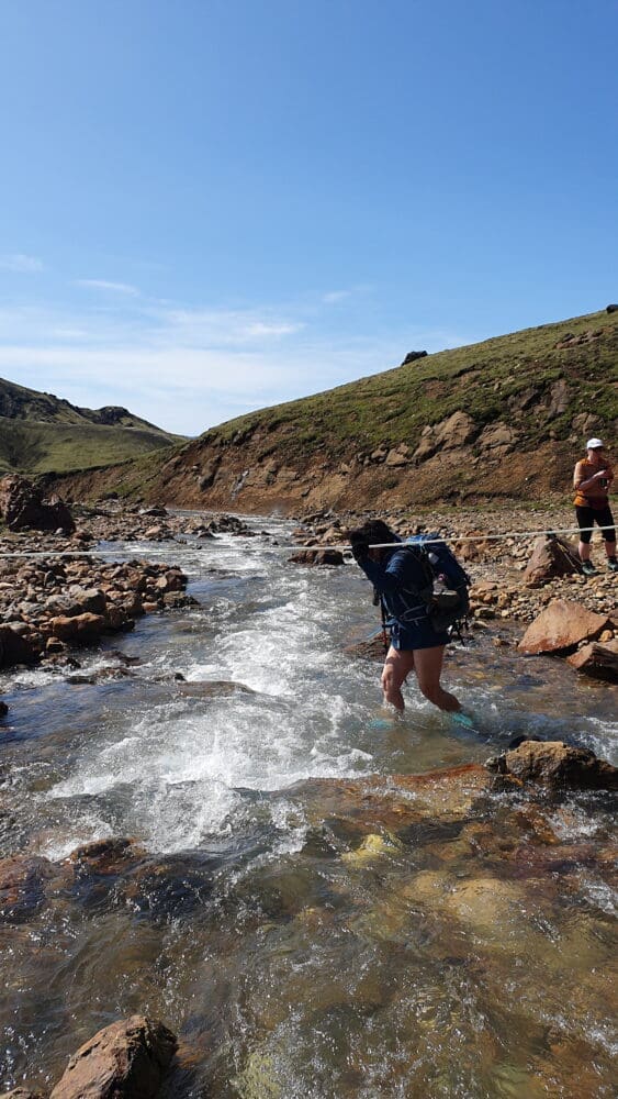
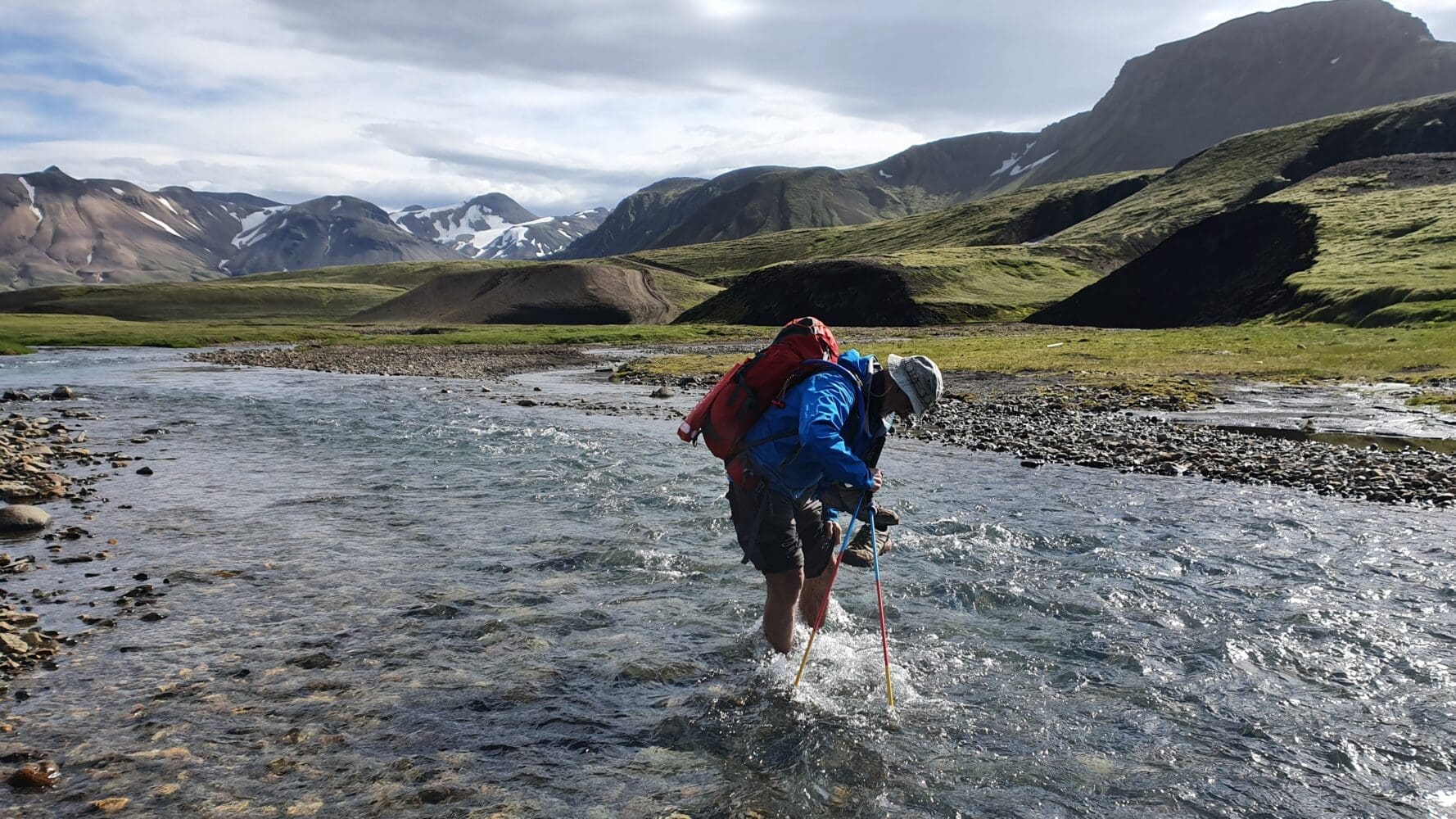
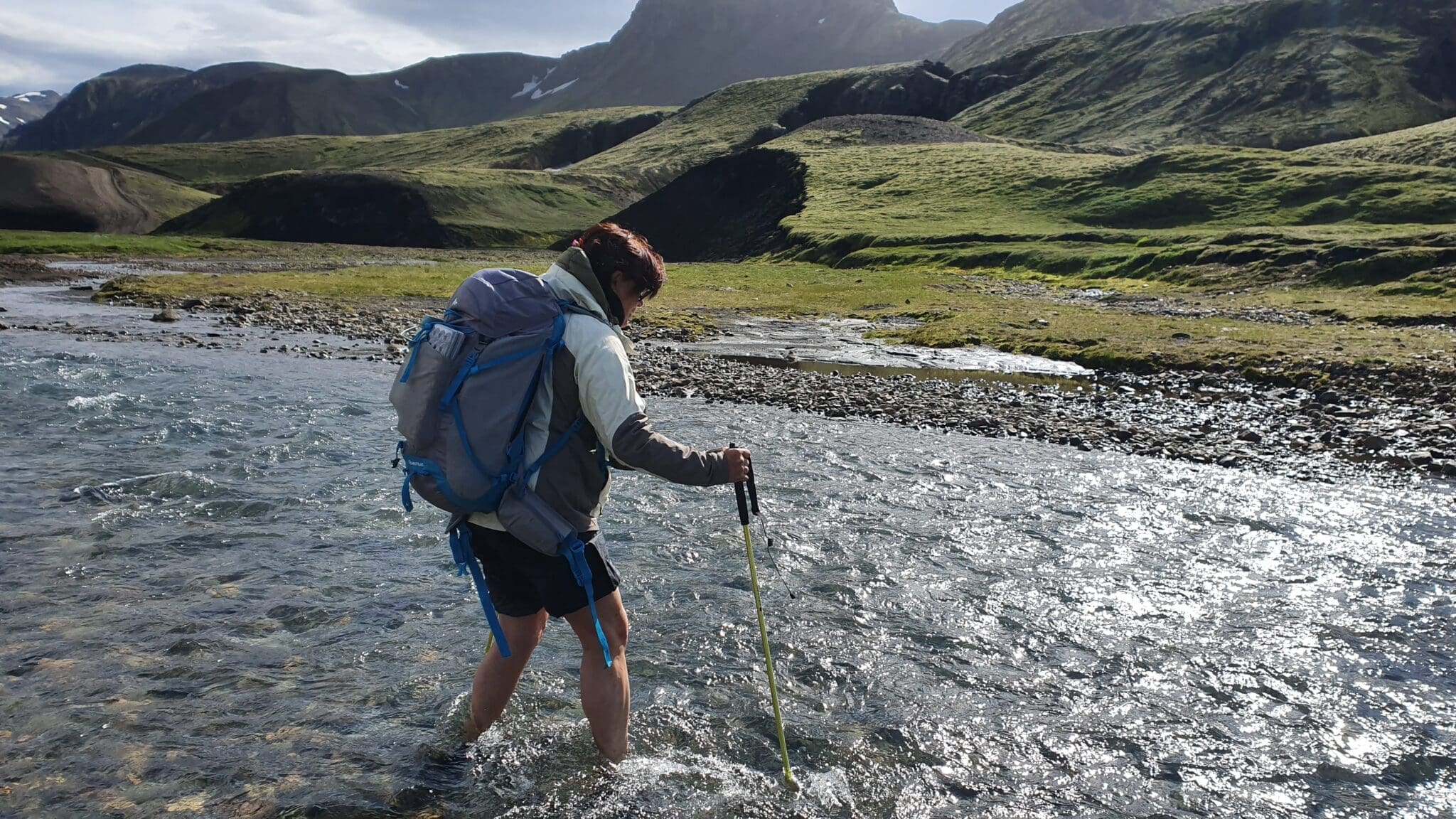
Crossing the Fremri-Emstruá River
One of the challenges of this stage is crossing the Fremri-Emstruá river, which can be which can have risen quite high depending on the time of year. It is important to be cautious when crossing this river.
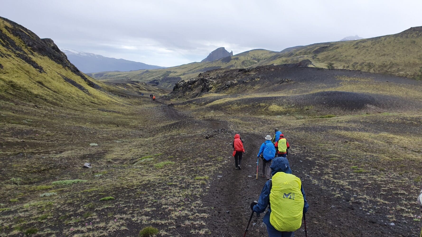
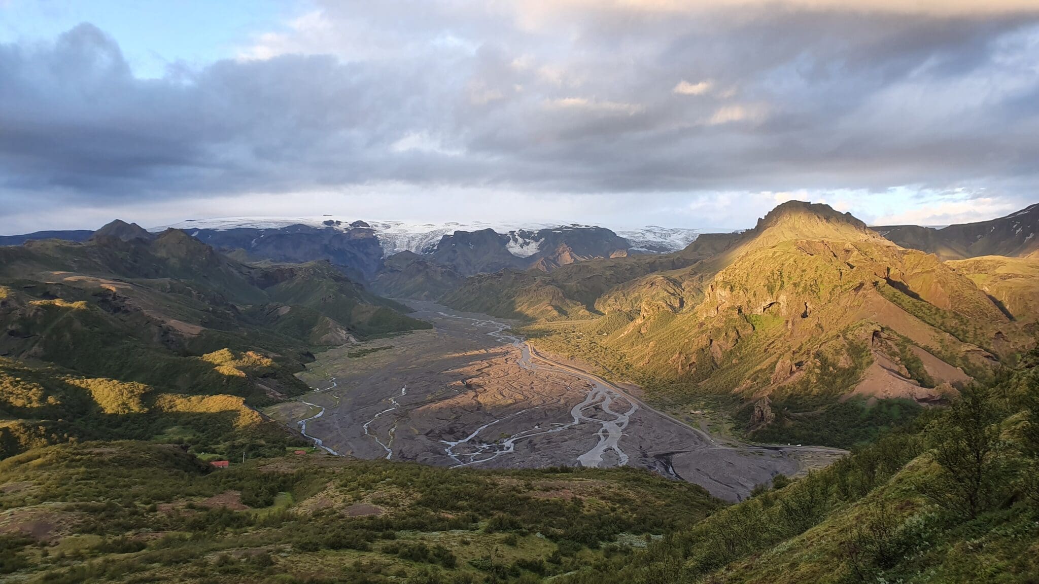
Alnus Forest
As you advance, you will notice a change in vegetation, entering an area with more tree cover. This forest of alders (Alnus) provides shade and a different environment from the open landscapes of the previous stages.
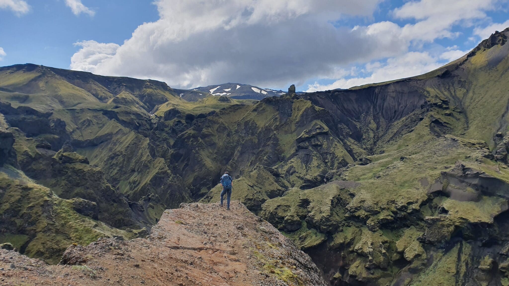
Thórsmörk Valley
The Thórsmörk valley is known for its stunning views and dense vegetation. Here, green mountains, glaciers, and rivers create a dreamlike landscape. It is one of the most beautiful places on the entire hike.
Distance: 16 km
Ascent: 214 m
Descent: 482 m
Duration: 6-7 hours
- Difficulty:
- Moderate
- Duration:
- 4 days
- Price From:
- 83.811 ISK