Lake Langisjór and Eldgjá Canyon Super Jeep private tour 1 to 4 persons
Super Jeep tour to the Eldgjá Canyon and the Lake Langisjór and Peak Sveinstindur
The Lake Langisjór and the Eldgjá Canyon is a part of the Vatnajökull National Park. In this Super Jeep tour we will travel the mountain roads to the Lake Langsjór. We might hike to the Peak Sveinstindur and for those that are not willing to hike we can find a good view point from other places accesable in our 4×4 Super Jeep
We depart from the village Kirkjubæjarklaustur. On this tour we drive the mountain road F208 to the Eldgjá Canyon. When we reach the high plateau of the highlands, we turn to the track to lake Langisjór. The route is off the beaten path and only suitable for 4×4 vehicles.
While we drive the main road from the village Kirkjubæjarklaustur our guide will give a briefing about the eruption from Skaftáreldar as we drive through the lava from the eruptions that took place in the year 1783
From the main road we will soon turn to the highland road F208.
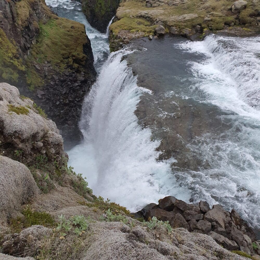
Our first stop will be in Hólaskjól Highland Center where we can look at the hidden waterfall. In Hólaskjól Highland Center it is possible to buy some refreshment.
From Hólaskjól Highland Center we will drive to Eldgjá Canyon.
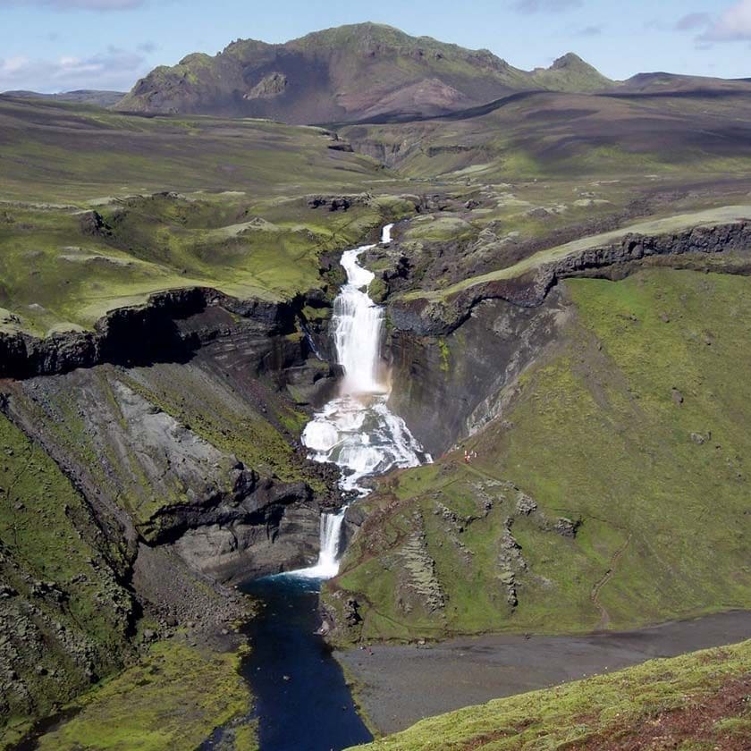
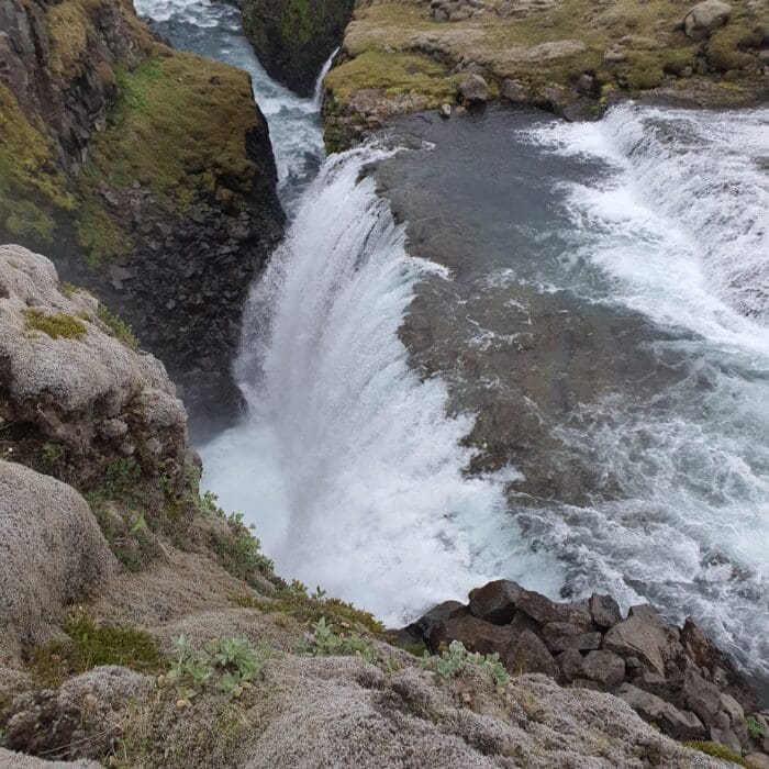
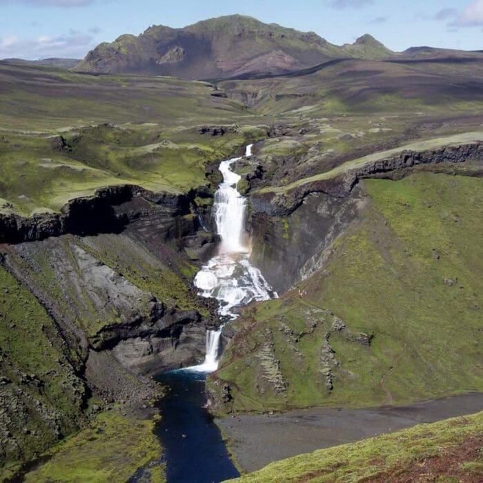
Eldgjá is a fissure created by eruptions that took place in the year 934. The fissure is 60 km long and forms a canyon that extends from the mountain Gjátindur to the glacier Mýrdalsjökull in the southeast. We will observe the fissure and take a good look at the waterfall Ófærufoss.
The total lava flow from the Eldgjá eruption is estimated to be around 19 km3. That makes the Eldgjá eruption the most volumetric lava flow from one eruption in historical time. The origins of the Eldgjá eruption are from the Katla volcano system. We will have a few alternatives if travelers want to do a short hike for 1 – 2 hours depending on the wants of the travelers.
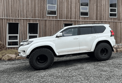
From Eldgjá canyon we take the route to Langisjór Lake. It is about one hour drive to the Lake from Eldgjá canyon in our specialized 4×4 super jeep.
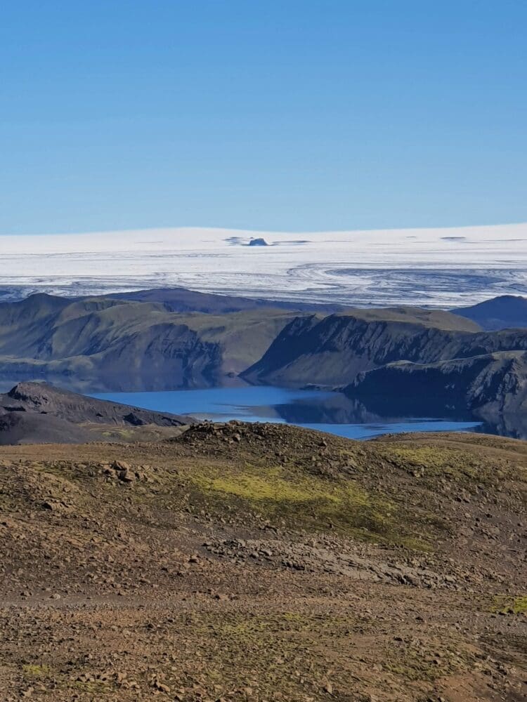
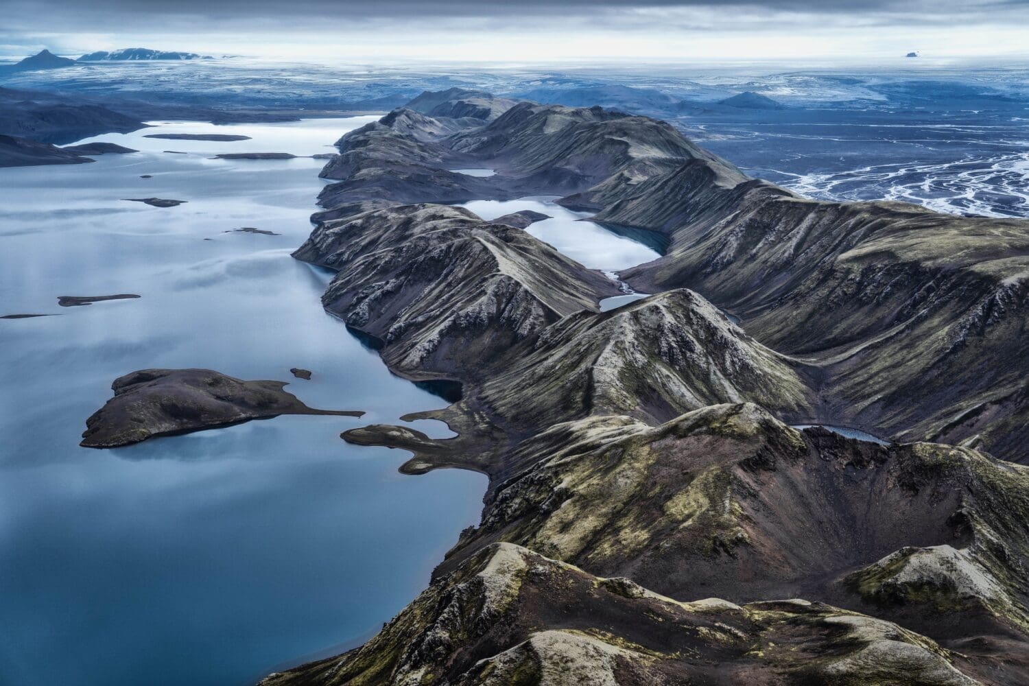
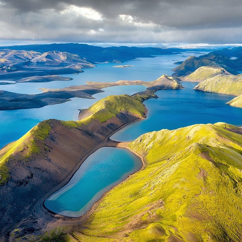
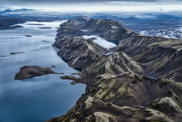
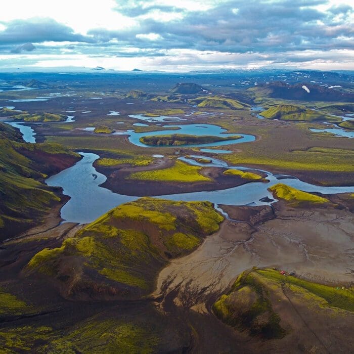
Lake Langisjór, one of Europe’s most beautiful and pristine highland lakes, is tucked in between the beautiful Tungnárfjöll and Fögrufjöll Mountains at the western edge of Vatnajökull Glacier. Measuring 20 km long and 2 km wide in some places, the lake is 27sq km and 75m at its deepest and lies some 640m above sea level.
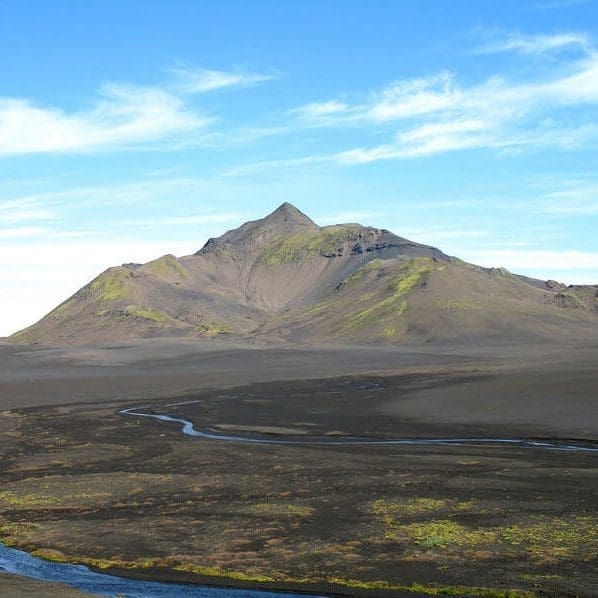
The view around the lake is magnificent and at the southern end of the lake stands the mountain Sveinstindur (1090 m) which is considered by many to be one of the best views of the panorama of the surrounding area. Views over Lakagígar, Skaftáreldahraun, Öræfajökul and Hekla are possible in clear weather.
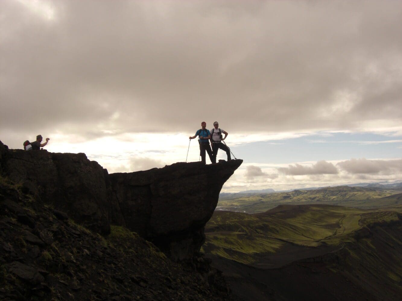
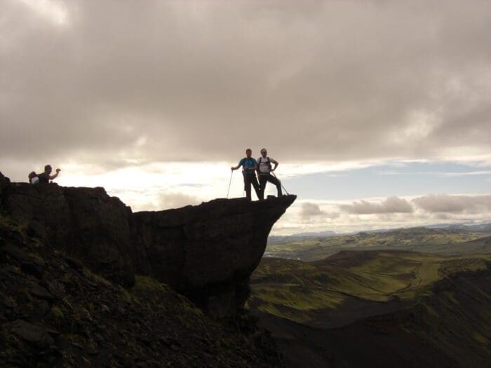
If travelers are interested and willing, we might hike to the top of the mountain Sveinstindur. To be able to do that we need good weather. The hike to the top is steep uphill with an increase of 400m in altitude. The view from the top is unique, it is said that in case the weather is good enough, a person should be able to see a view that stretches a quarter over Iceland. From the glacier Öræfajökull in the east, to Hellisheiði and the two glaciers Langjökull and Hofsjökull in the west. The view stretches over all Langisjór additionally, an unforgettable sight to see.
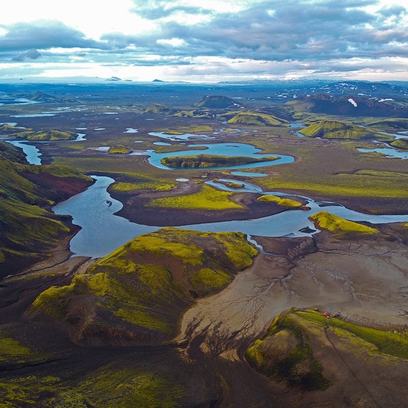
To the right of the lake is the mountain range Fögrufjöll with numerous lagoons between heights and peaks. East of mountains Fögrufjöll runs the glacier river Skaftá, which has historically crashed with catastrophic floods. The floods originate in Skaftárkatlar, a geothermal area underneath the glacier Vatnajökull. From the east of the Skaftá river, one can see in distance the crater Lakagígar, where the lava from the eruptions Skaftáreldar, flooded in the lowlands in the year 1783 – the third largest lava flow on earth since the last Ice Age.
Pickup and drop off at hotels in Kirkjubæjarklaustur.
Day tour in 4×4 vehicle suitable for the highland’s roads
Professional guide
Flexible program depending on the needs and wants of the travelers.
We depart from the village Kirkjubæjarklaustur. On this tour we drive the mountain road F208 to the Eldgjá Canyon. When we reach the high plateau of the highlands, we turn to the track to lake Langisjór. The route is off the beaten path and only suitable for 4×4 vehicles.
While we drive the main road from the village Kirkjubæjarklaustur our guide will give a briefing about the eruption from Skaftáreldar as we drive through the lava from the eruptions that took place in the year 1783
From the main road we will soon turn to the highland road F208.
Our first stop will be in Hólaskjól Highland Center where we can look at the hidden waterfall. In Hólaskjól Highland Center it is possible to buy some refreshment.
From Hólaskjól Highland Center we will drive to Eldgjá Canyon.
Eldgjá is a fissure created by eruptions that took place in the year 934. The fissure is 60 km long and forms a canyon that extends from the mountain Gjátindur to the glacier Mýrdalsjökull in the southeast. We will observe the fissure and take a good look at the waterfall Ófærufoss.
The total lava flow from the Eldgjá eruption is estimated to be around 19 km3. That makes the Eldgjá eruption the most volumetric lava flow from one eruption in historical time. The origins of the Eldgjá eruption are from the Katla volcano system. We will have a few alternatives if travelers want to do a short hike for 1 – 2 hours depending on the wants of the travelers.
From Eldgjá canyon we take the route to Langisjór Lake. It is about one hour drive to the Lake from Eldgjá canyon in our specialized 4×4 super jeep.
Lake Langisjór, one of Europe’s most beautiful and pristine highland lakes, is tucked in between the beautiful Tungnárfjöll and Fögrufjöll Mountains at the western edge of Vatnajökull Glacier. Measuring 20 km long and 2 km wide in some places, the lake is 27sq km and 75m at its deepest and lies some 640m above sea level.
The view around the lake is magnificent and at the southern end of the lake stands the mountain Sveinstindur (1090 m) which is considered by many to be one of the best views of the panorama of the surrounding area. Views over Lakagígar, Skaftáreldahraun, Öræfajökul and Hekla are possible in clear weather.
If travelers are interested and willing, we might hike to the top of the mountain Sveinstindur. To be able to do that we need good weather. The hike to the top is steep uphill with an increase of 400m in altitude. The view from the top is unique, it is said that in case the weather is good enough, a person should be able to see a view that stretches a quarter over Iceland. From the glacier Öræfajökull in the east, to Hellisheiði and the two glaciers Langjökull and Hofsjökull in the west. The view stretches over all Langisjór additionally, an unforgettable sight to see.
To the right of the lake is the mountain range Fögrufjöll with numerous lagoons between heights and peaks. East of mountains Fögrufjöll runs the glacier river Skaftá, which has historically crashed with catastrophic floods. The floods originate in Skaftárkatlar, a geothermal area underneath the glacier Vatnajökull. From the east of the Skaftá river, one can see in distance the crater Lakagígar, where the lava from the eruptions Skaftáreldar, flooded in the lowlands in the year 1783 – the third largest lava flow on earth since the last Ice Age.
Lunch pack for the day
Hiking boots or some good shoes for those that are willing to hike.
Warm and waterproof outdoor clothing
Headwear
Gloves
Water bottle 1-1,5 l
- Difficulty:
- Easy
- Duration:
- 1 day
- Price From:
- 190.000 ISK
