Private North Iceland Waterfalls & Laufás Heritage Tour
210.990 ISK
5 uur en 30 minuten

Vereisen
72.490 ISK
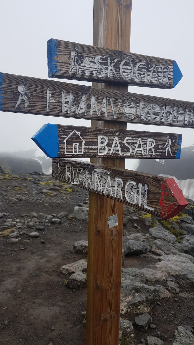
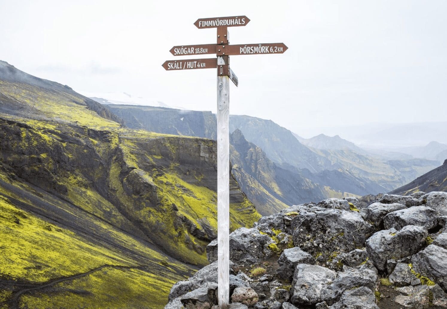
The Fimmvörðuháls hiking trail, from Skógar to Þórsmörk, is one of Iceland’s best-known hiking routes. This Fimmvörðuháls Privédagwandeling takes you through spectacular waterfalls, glaciers, volcanic landscapes, mountain passes, and the beautiful Þórsmörk valley.
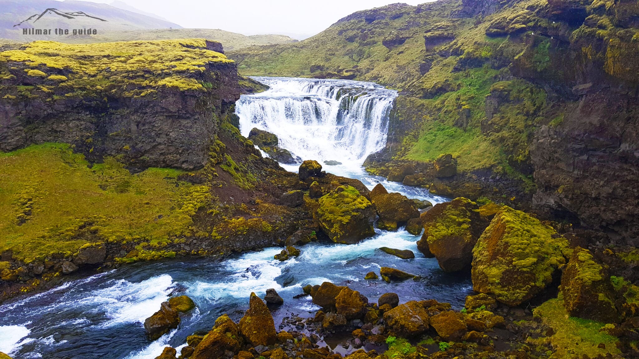
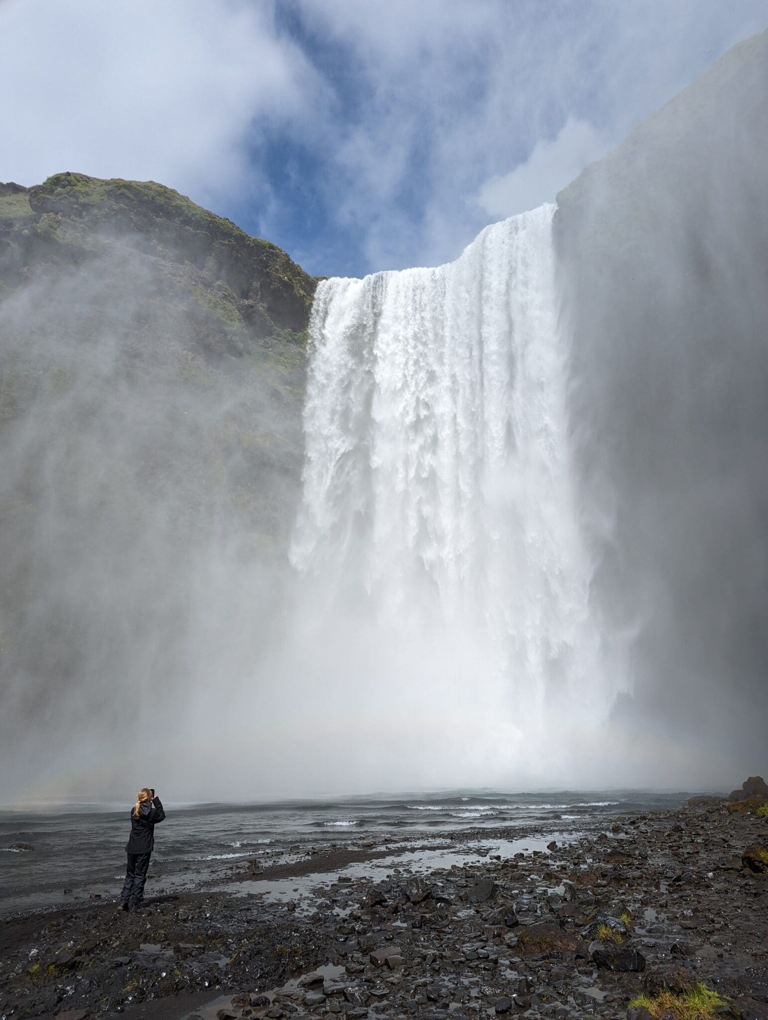
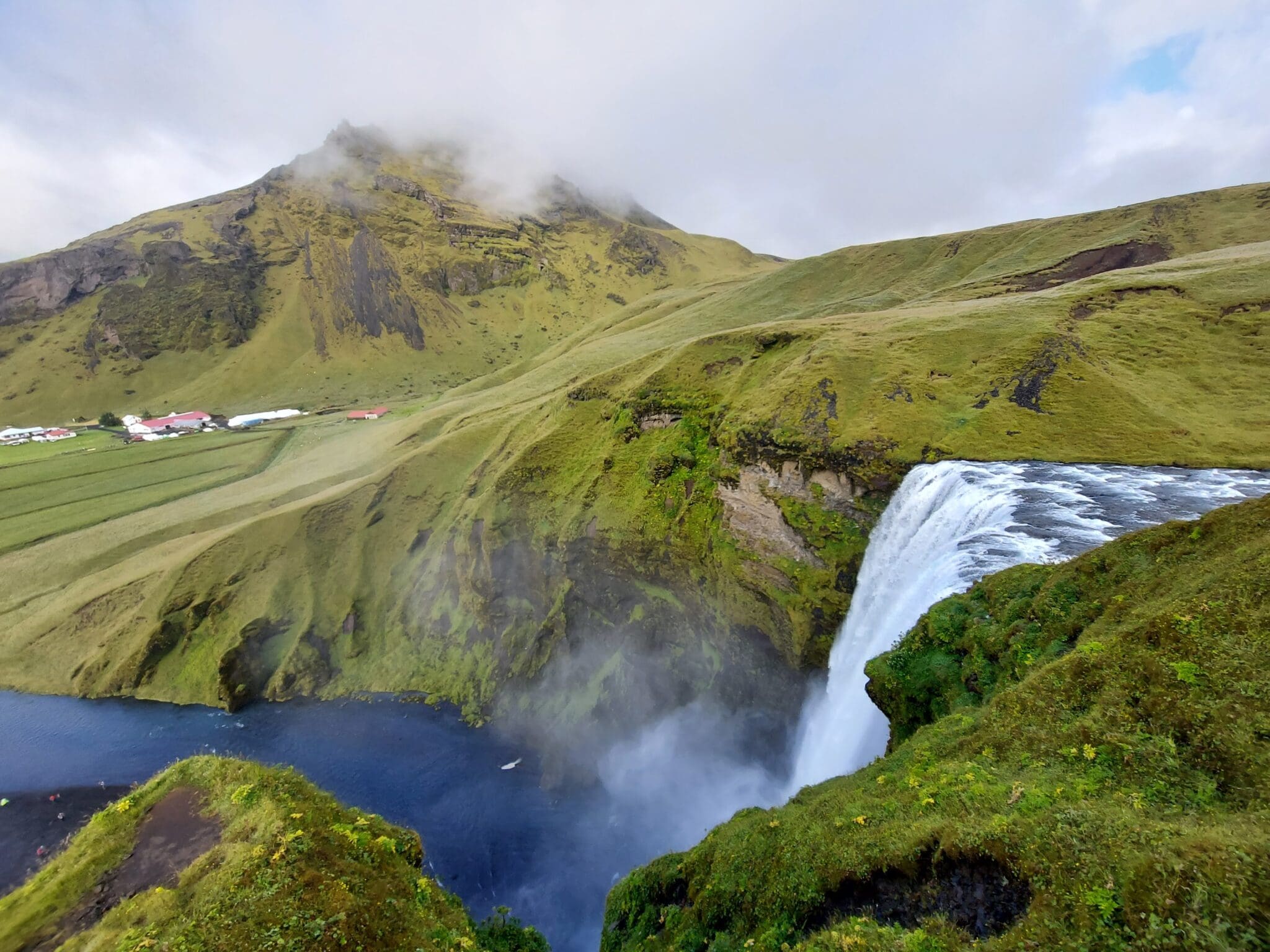
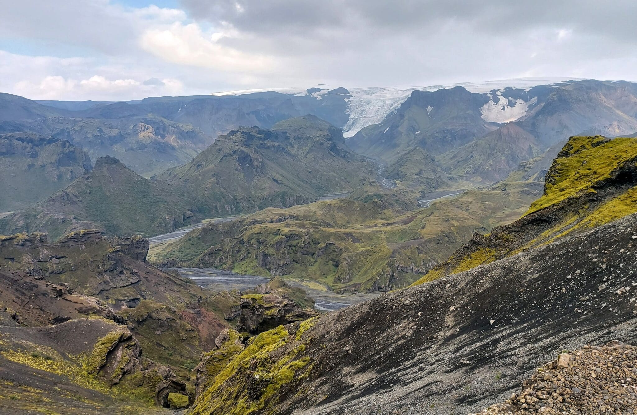
Our day begins at the impressive 60-meter-high Skógafoss waterval, where we start our approximately 25-kilometer hike towards Þórsmörk. From there, the trail follows the Skógá River and passes a series of beautiful waterfalls. As we climb higher, the landscape changes dramatically as we make our way between the glaciers Eyjafjallajökull en Mýrdalsjökull.
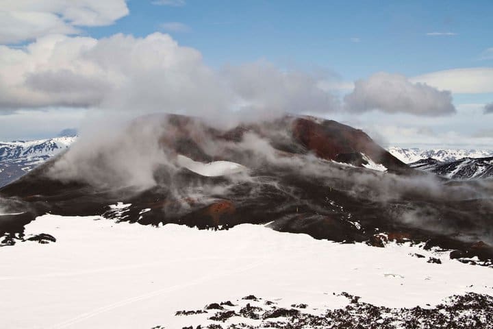
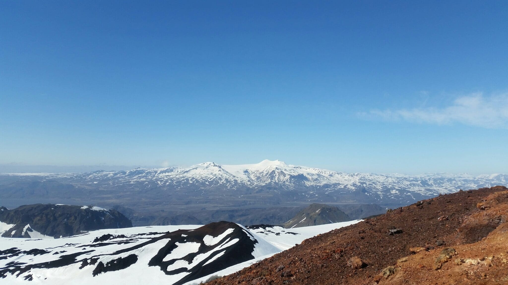
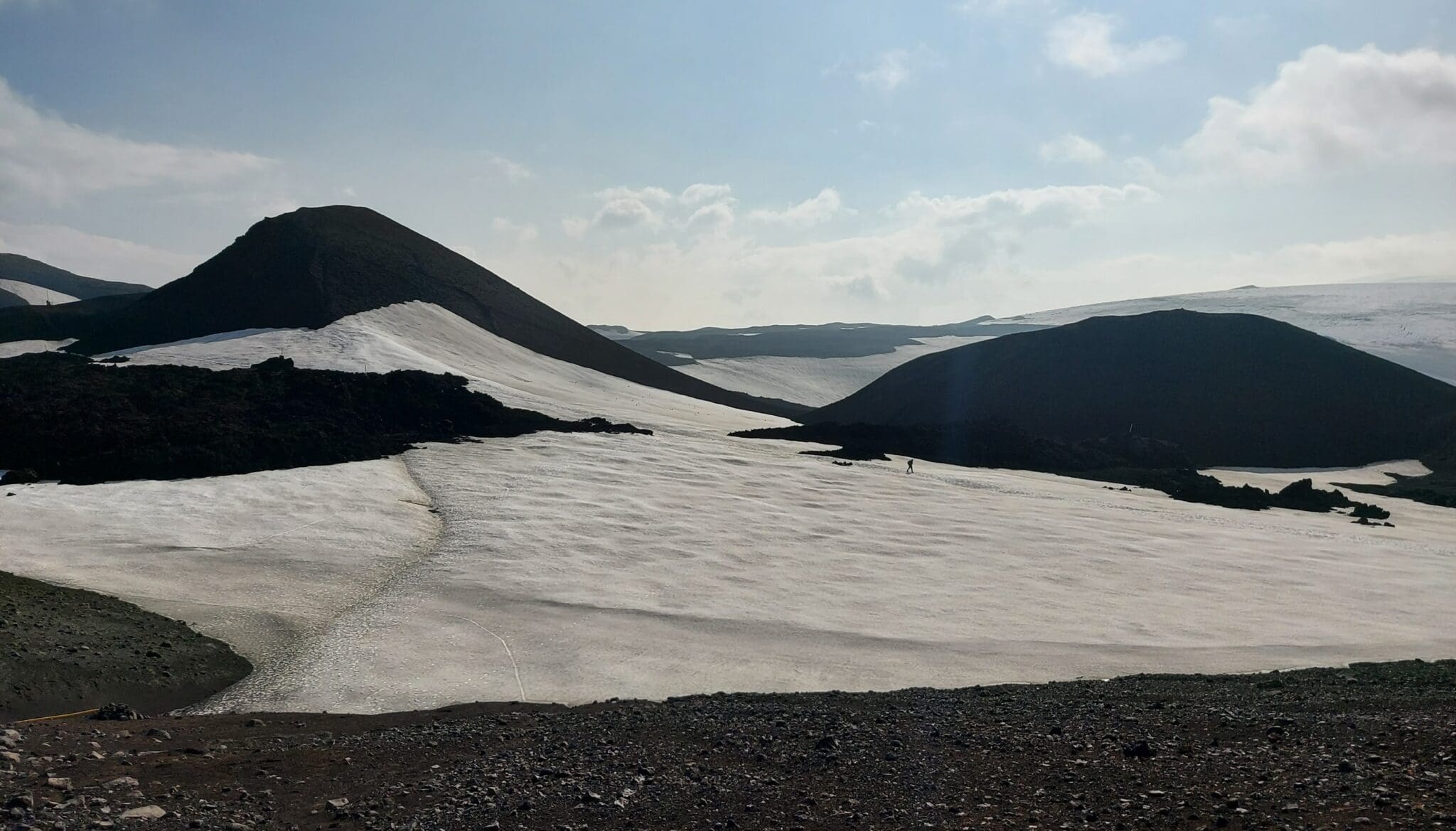
Along the way, you can experience the volcanic landscape created during the 2010 Eyjafjallajökull eruption. The route passes the volcanic craters Móði and Magni, formed during the eruption. From this high mountain area, we then begin our descent towards Þórsmörk, with spectacular views across Iceland’s rugged highlands.
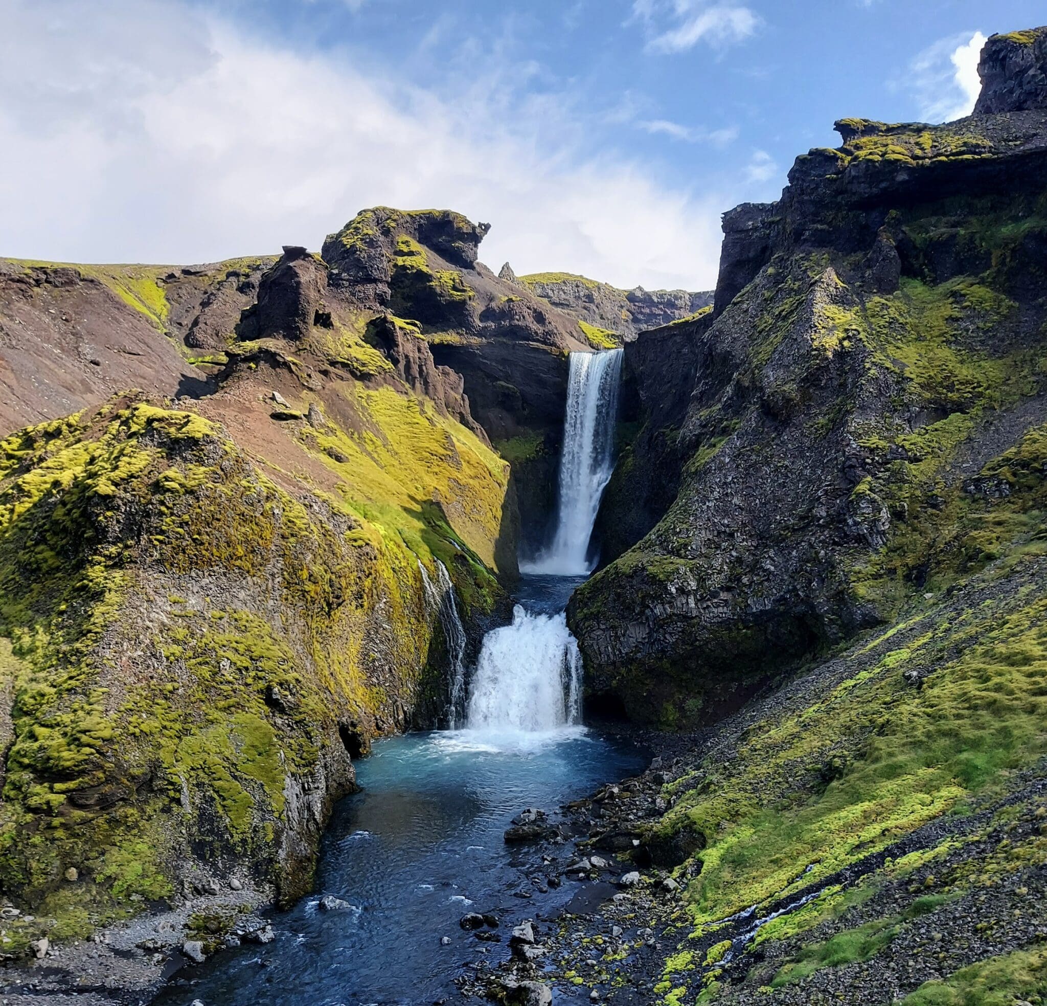
One of the highlights of the Fimmvörðuháls trail is “Waterfall Way,” where numerous waterfalls follow the Skógá River. The route then continues towards the site of the 2010 eruption, which famously disrupted air travel across Europe.
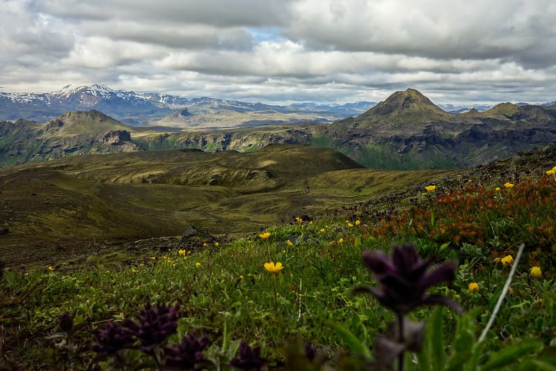
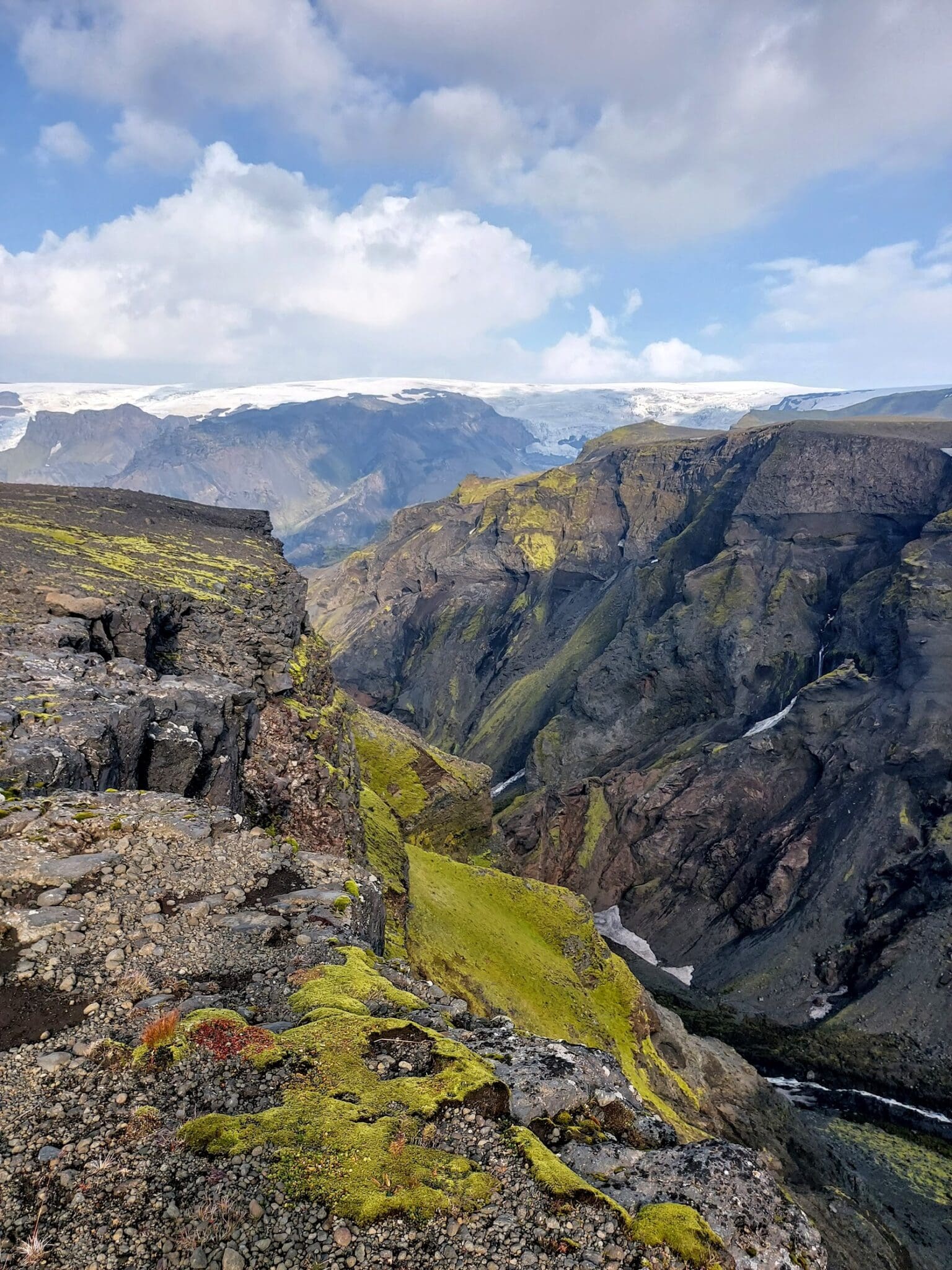
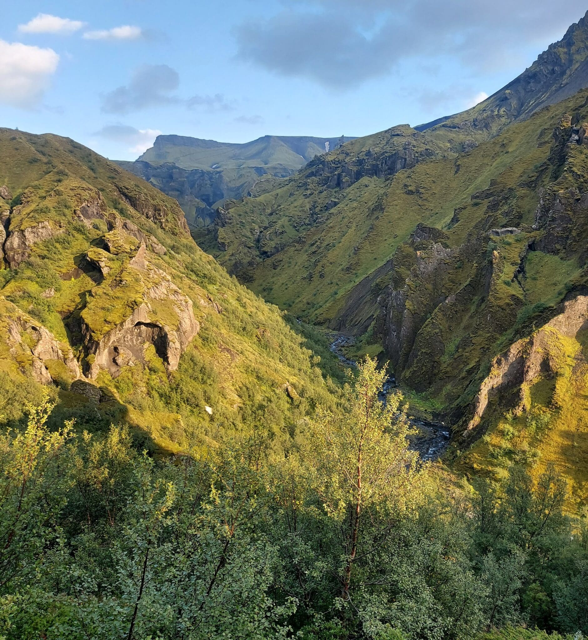
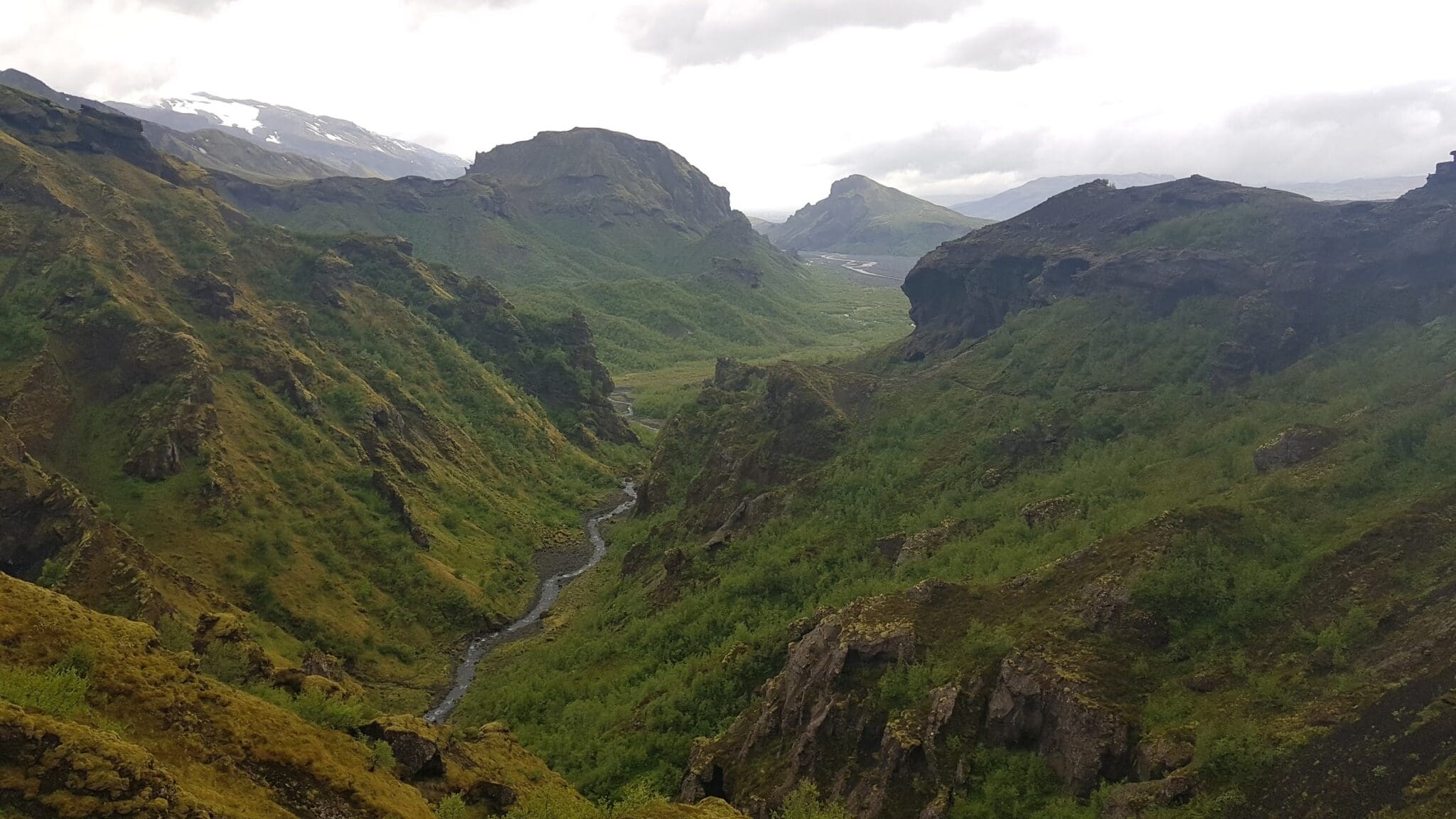
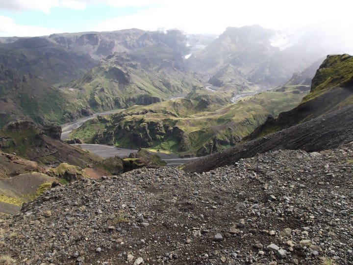
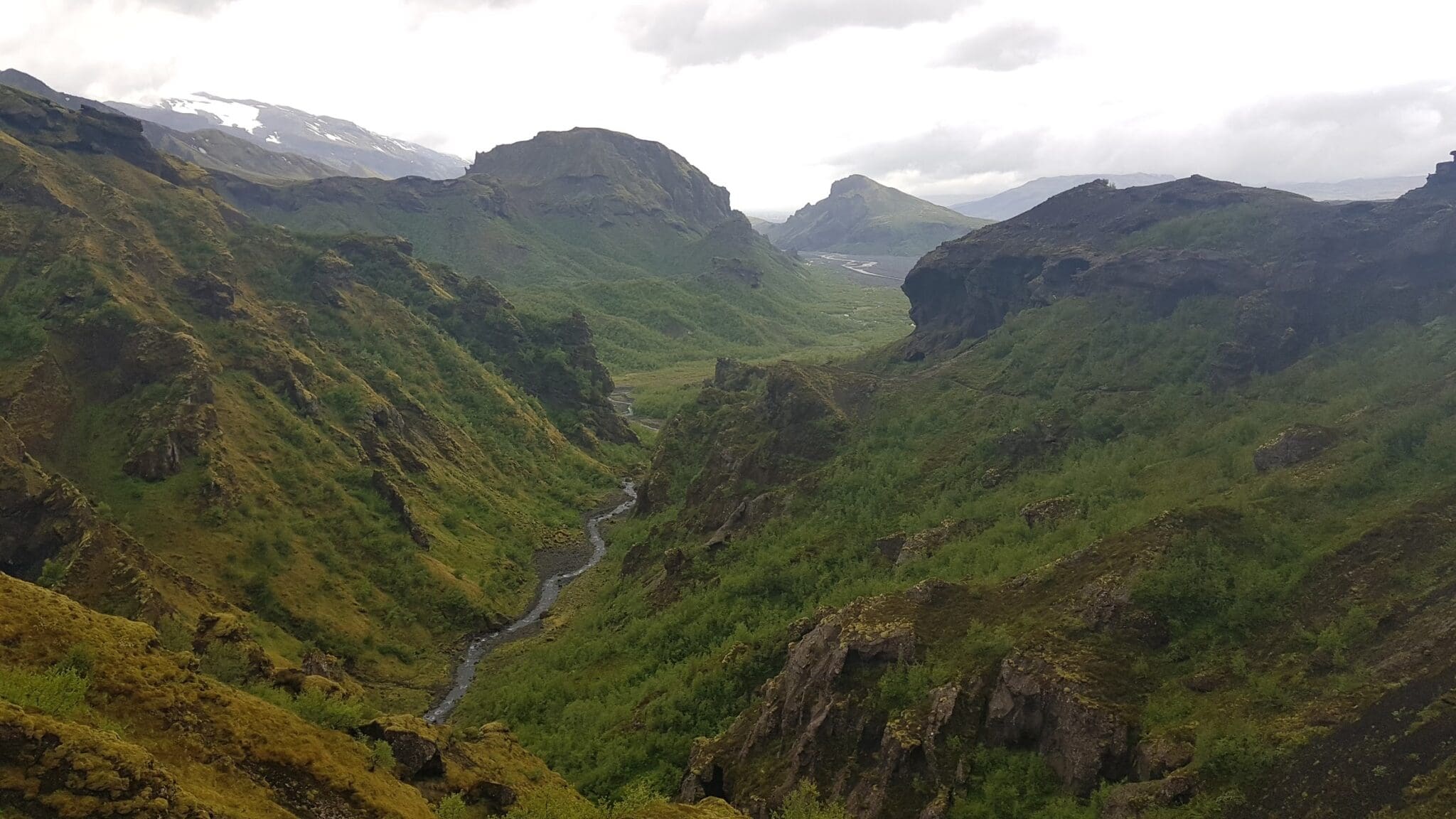
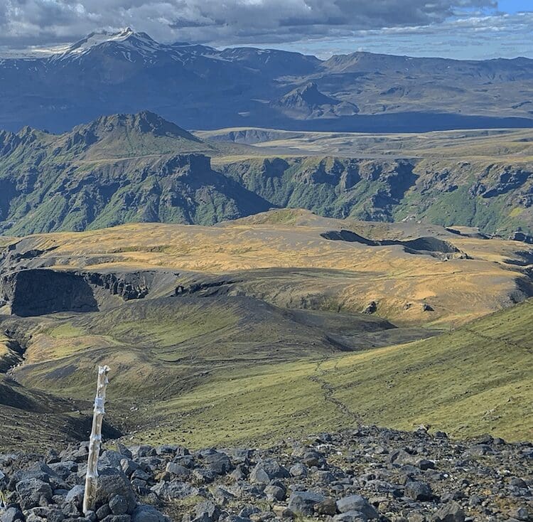
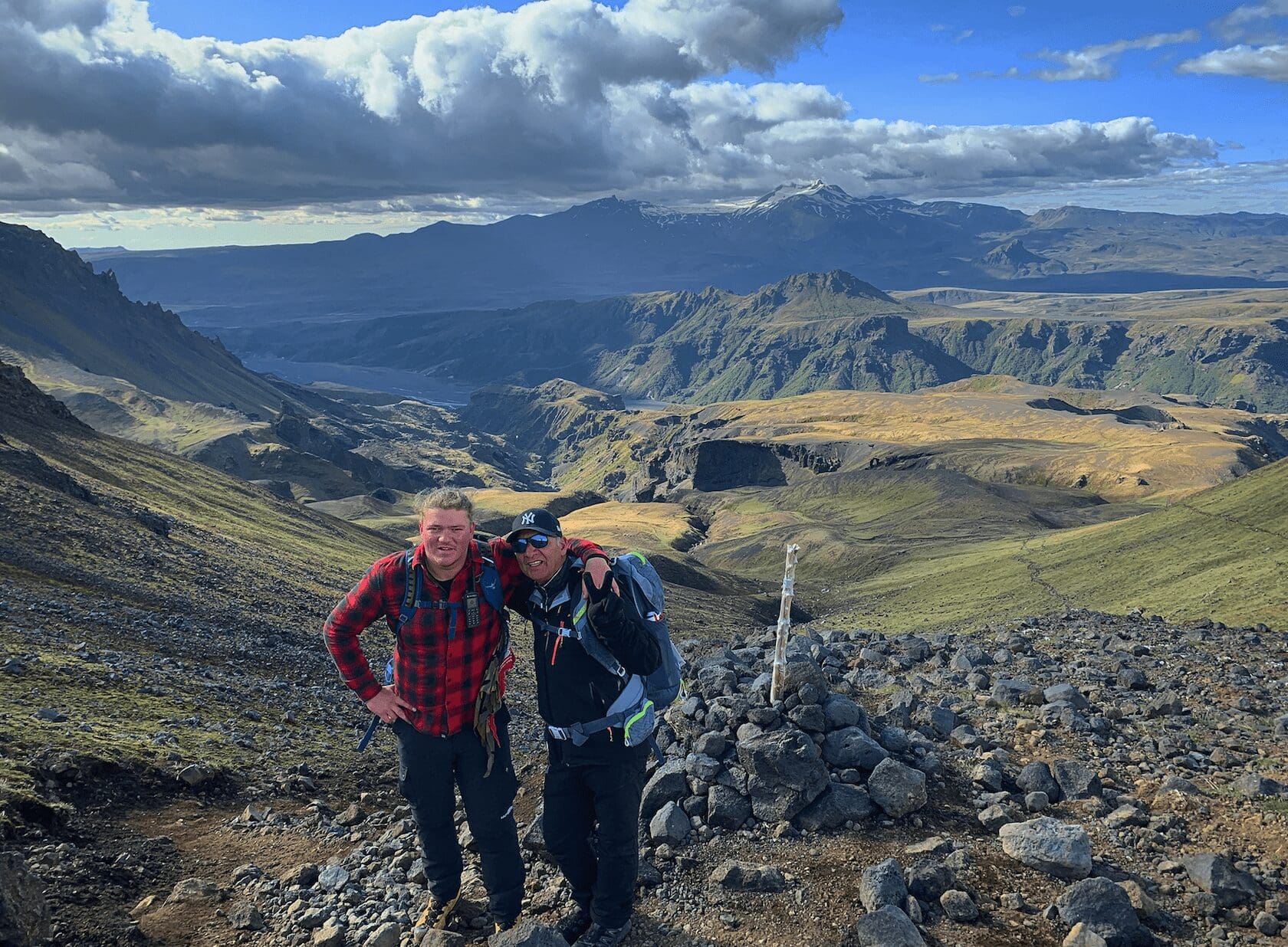
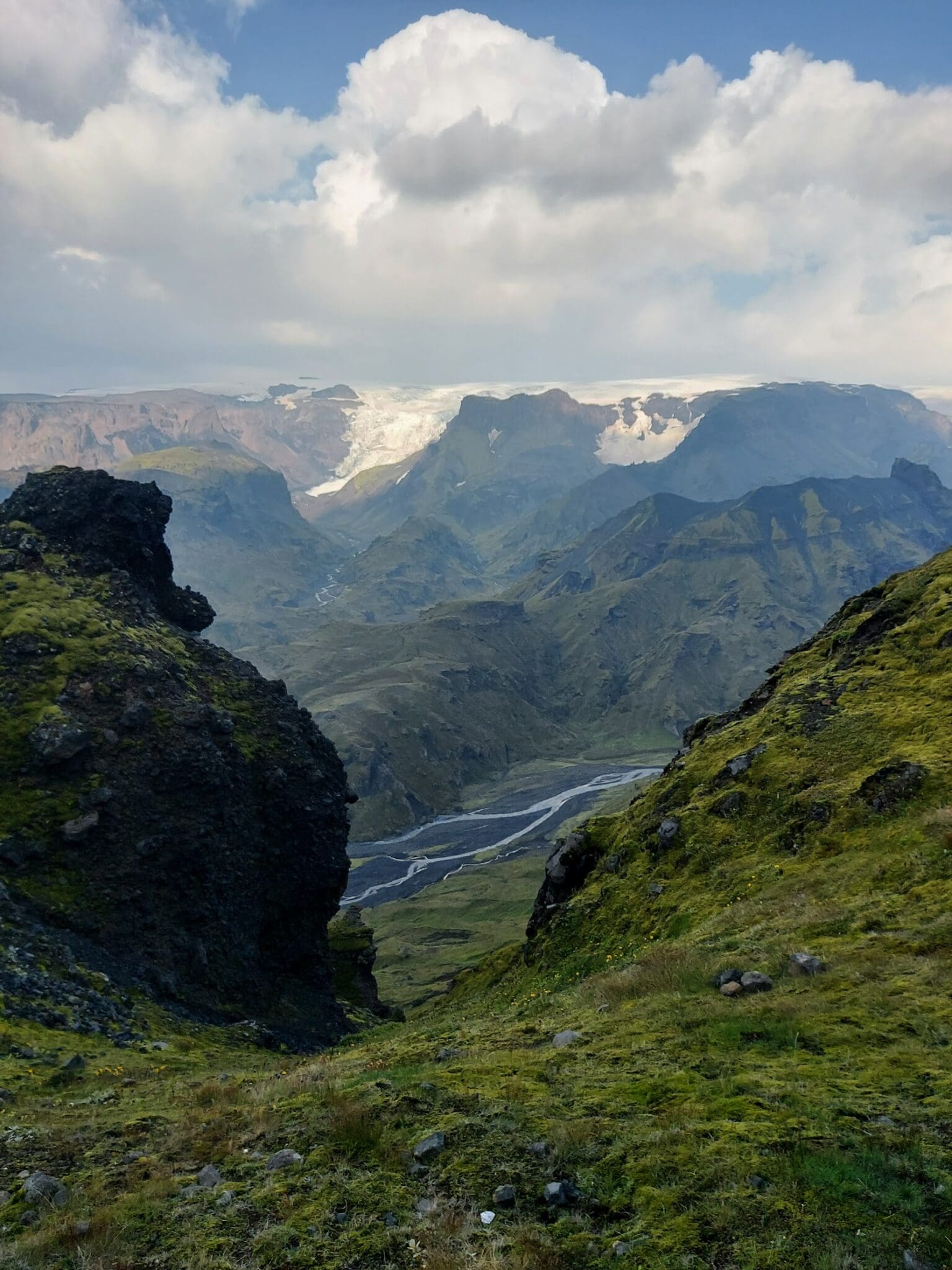
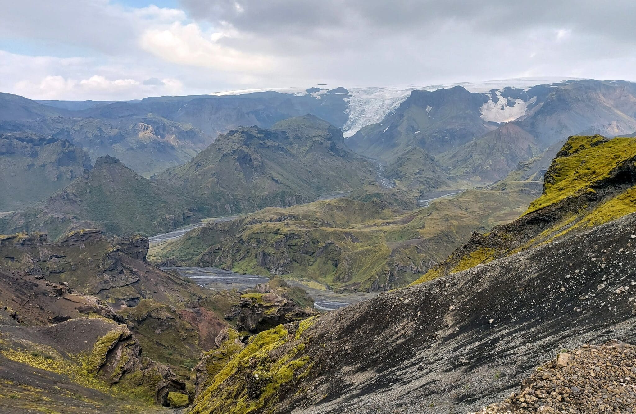
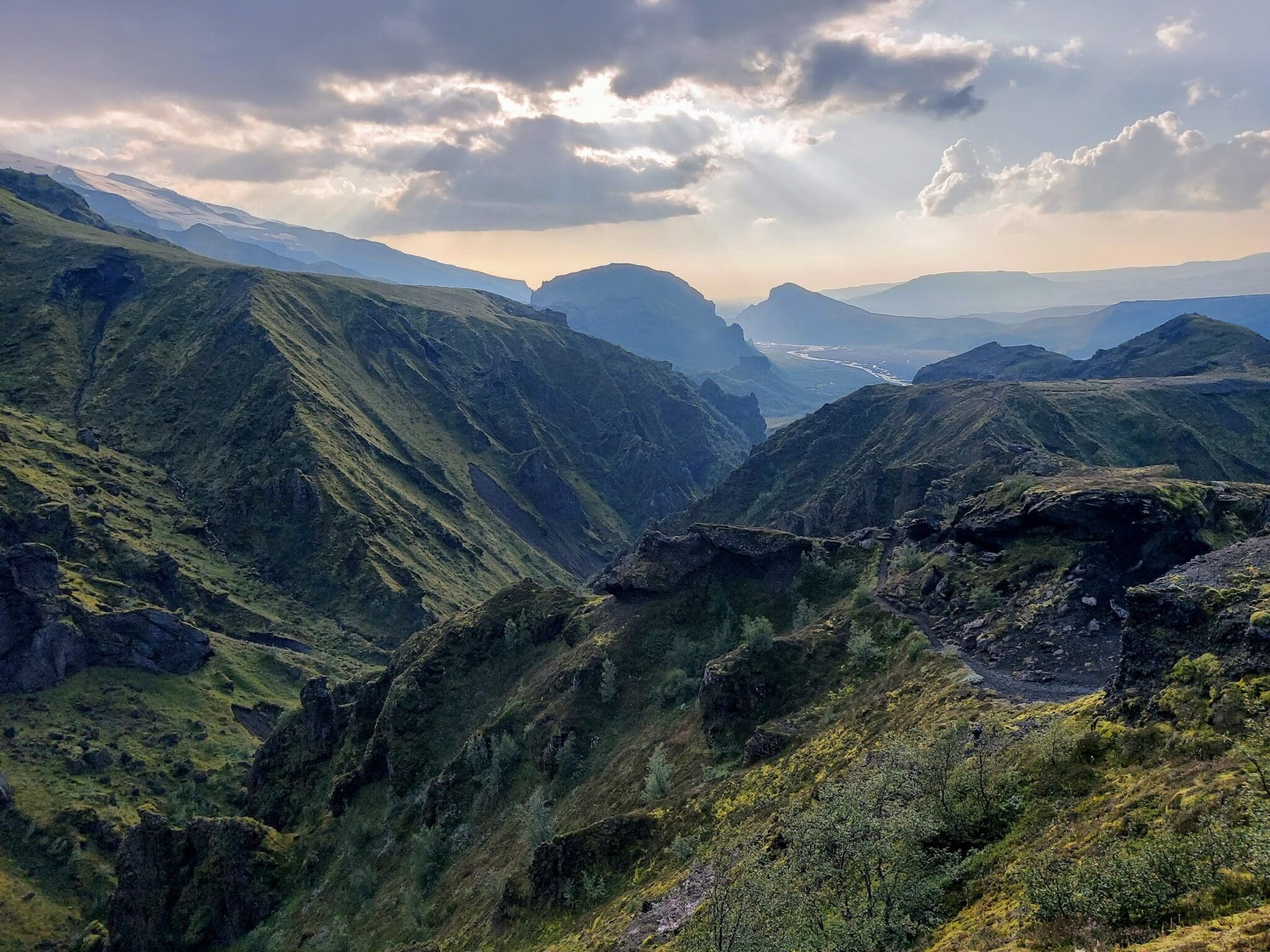
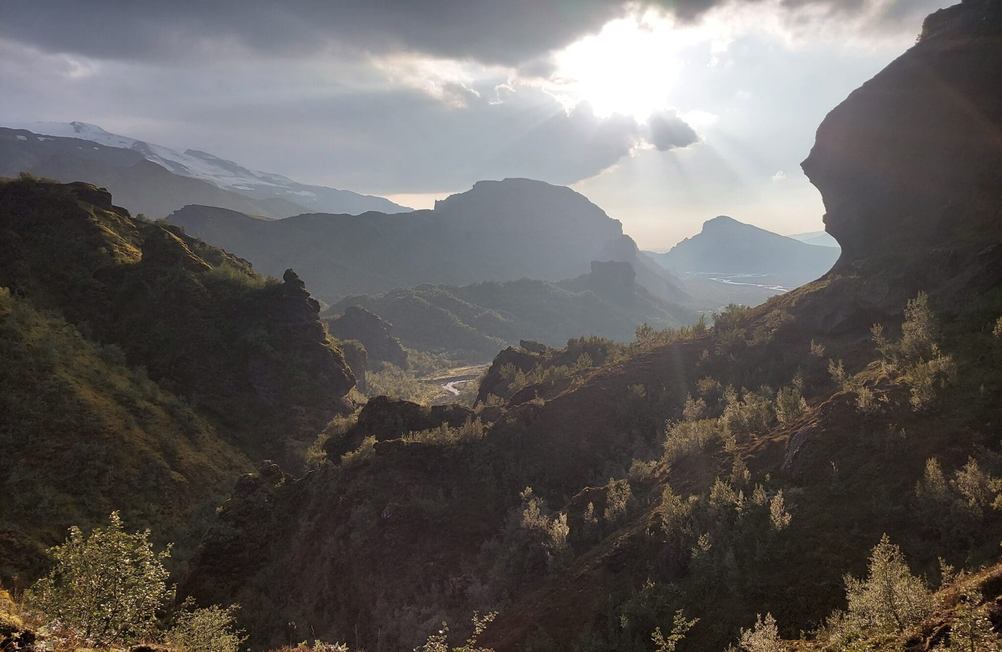
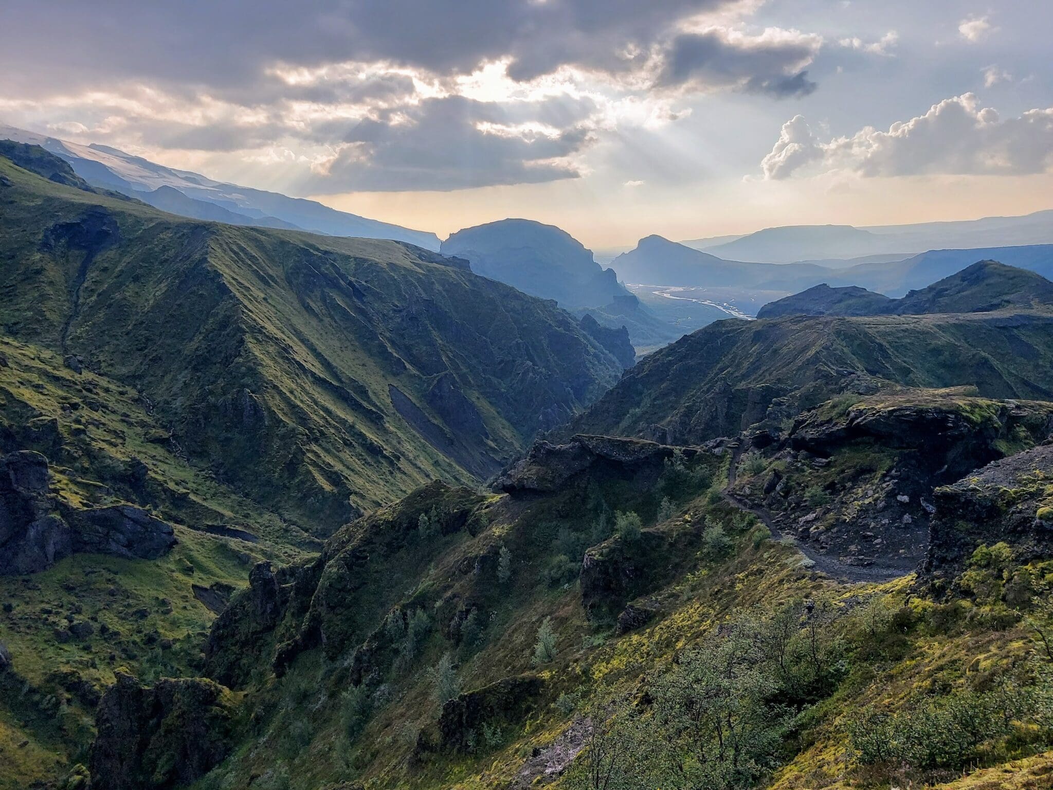
As you continue across the mountain pass, the scenery becomes increasingly dramatic. The trail passes through rugged volcanic terrain, deep canyons, and eventually reaches the lush Þórsmörk Valley. On a clear day, you may see glaciers, volcanoes, valleys, and vast Highland landscapes stretching across southern Iceland.
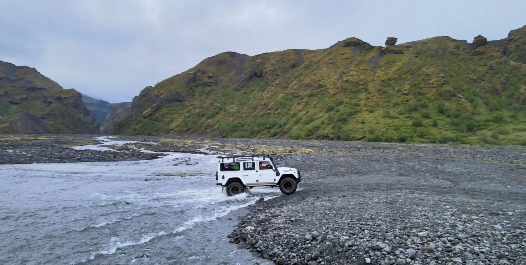
After completing the hike, we meet our Super Jeep guide in Þórsmörk. From there, we begin the drive back towards Skógar. This scenic journey gives you a chance to experience even more of the area’s remarkable landscapes without having to retrace the hiking trail.
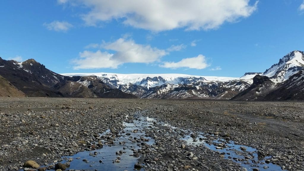
During the drive, we pass Gígjökull glacier, where enormous glacial floods flowed down from the Eyjafjallajökull area following the 2010 eruption. We also cross the vast floodplain of the Markarfljót River before continuing towards the south coast.
Before returning to Skógar, we make a stop at Seljalandsfoss waterval. This famous waterfall is one of Iceland’s most recognizable natural attractions and provides a memorable final stop after a challenging day in the mountains.
The Fimmvörðuháls trail starts right beside Skógafoss. A long series of steps leads to the top of the waterfall. Take a moment to catch your breath and enjoy the view before continuing into the mountains for an unforgettable day of hiking.
Opmerking: Depending on weather and trail conditions, the hike may be operated from Þórsmörk to Skógar instead.
The average hiking time is around 8–10 hours, although the exact duration depends on weather, trail conditions, and the group’s pace. Some hikers complete the route in less than 8 hours, while others may need up to 12 hours.
Dit private Fimmvörðuháls day hike is an excellent way to experience one of Iceland’s most spectacular mountain trails while combining the hike with a Super Jeep journey through Þórsmörk.
De wandeling door Fimmvörðuháls, van Skógar naar Þórsmörk, is een van IJslands bekendste wandelroutes We beginnen onze dag bij de 60 m hoge Skógarfoss waterval, waar we onze 25 kilometer lange wandeling beginnen richting Þórsmörk Het pad slingert langs de Skógá rivier en zijn vele watervallen, en omhoog tussen de twee gletsjers, Eyjafjallajökull en Mýrdalsjökull We zullen de recente lavastroom van de uitbarsting van 2010 op Fimmvörðuháls en hike op de twee degelijke vulkanische kraters zien We kunnen daar spectaculaire gletsjers zien Mórn.
Beneden in de Þórsmörk-vallei ontmoeten we onze Super-Jeep-gids en beginnen we te gaan van Þórsmörk. Op de rit terug naar Skógar zien we de Gígjökull-gletsjer waar de meeste overstromingen van de uitbarsting van Eyjafjallajökull 2010 zijn neergedaald en de uitgestrekte uiterwaarden van de Markarfljóts-rivier. Voordat we bij Skógar aankomen, zullen we een stop maken bij de Seljalandsfoss-waterval voordat we voor het laatst afscheid nemen van Þórsmörk.*
Let op: afhankelijk van de staat kan de tour worden uitgevoerd van Þórsmörk naar Skógar.
Ontmoetingspunt is op Hamragarðar Camping (Gljúfrabúi Waterval, naast Seljalandsfoss)
63°37’15.9″N 19°59’22.7″ W
Fimmvörðuháls dagwandeltocht
This will be a long day, so make sure you bring enough food for lunch, dinner, and in-between meals, like energy bars, for the 10–12–hour hike. You are also required to take at least 1 liter. of water for the hike. There is almost no fresh water on the hike, and few other options for refilling water.
210.990 ISK
49.360 ISK
39.490 ISK
39.490 ISK
58.740 ISK
58.728 ISK
65.240 ISK
290.000 ISK
275.000 ISK
59.000 ISK
Reistips, nieuwe gidsen en een heads-up wanneer de aurora voorspelling er goed uitziet Geen spam.