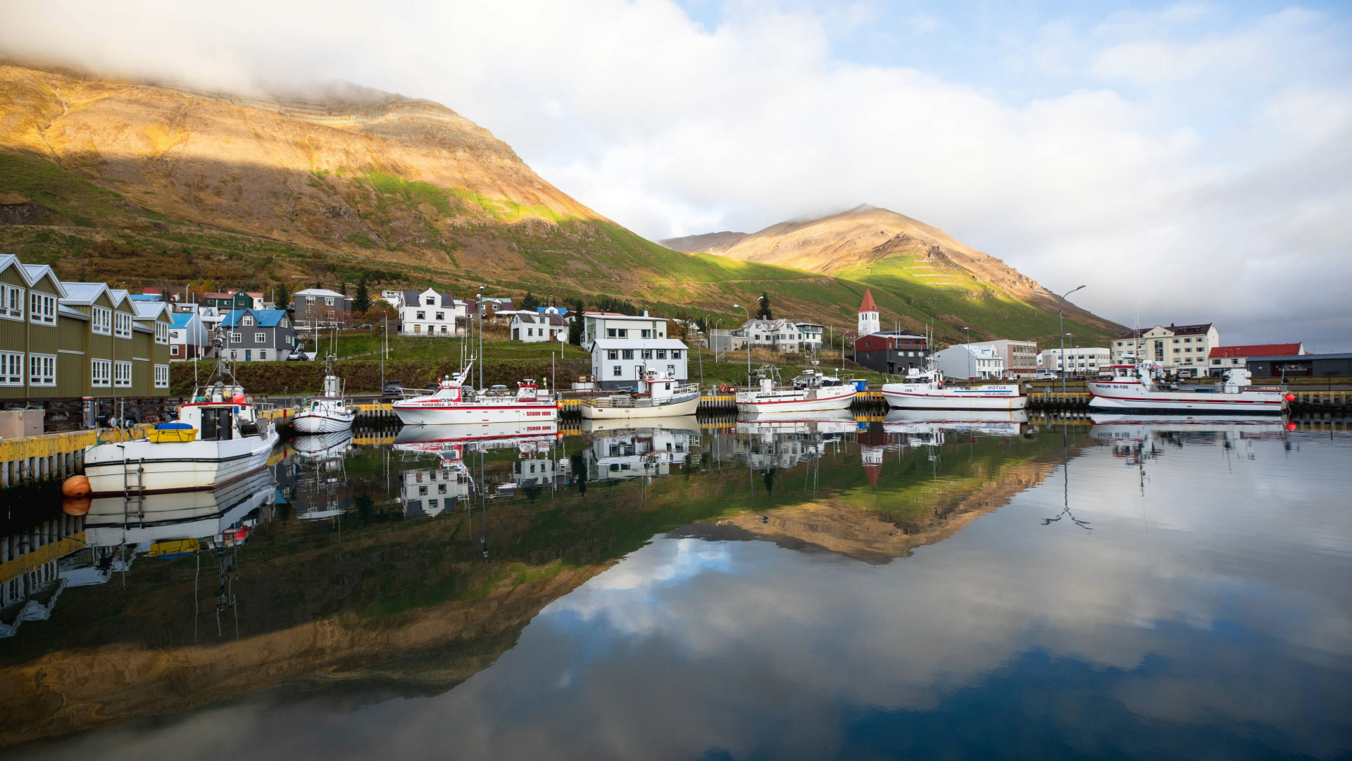
Private Siglufjörður & Skagafjörður Day Tour from Akureyri
274.990 ISK
10時間

中程度
265.500 ISK
Visit Lake Mývatn, Waterfall Dettifoss, Ásbyrgi and Húsavík
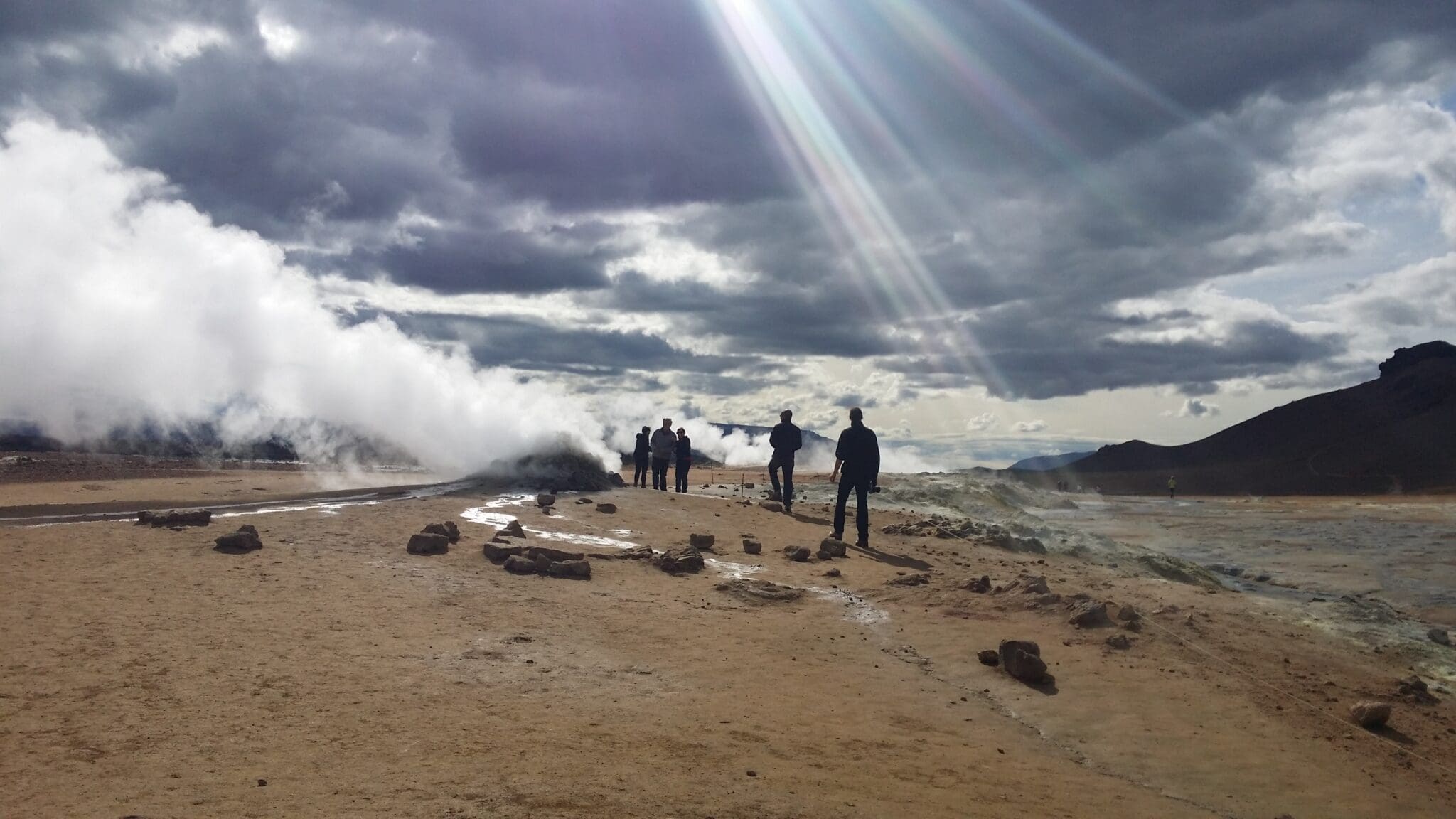
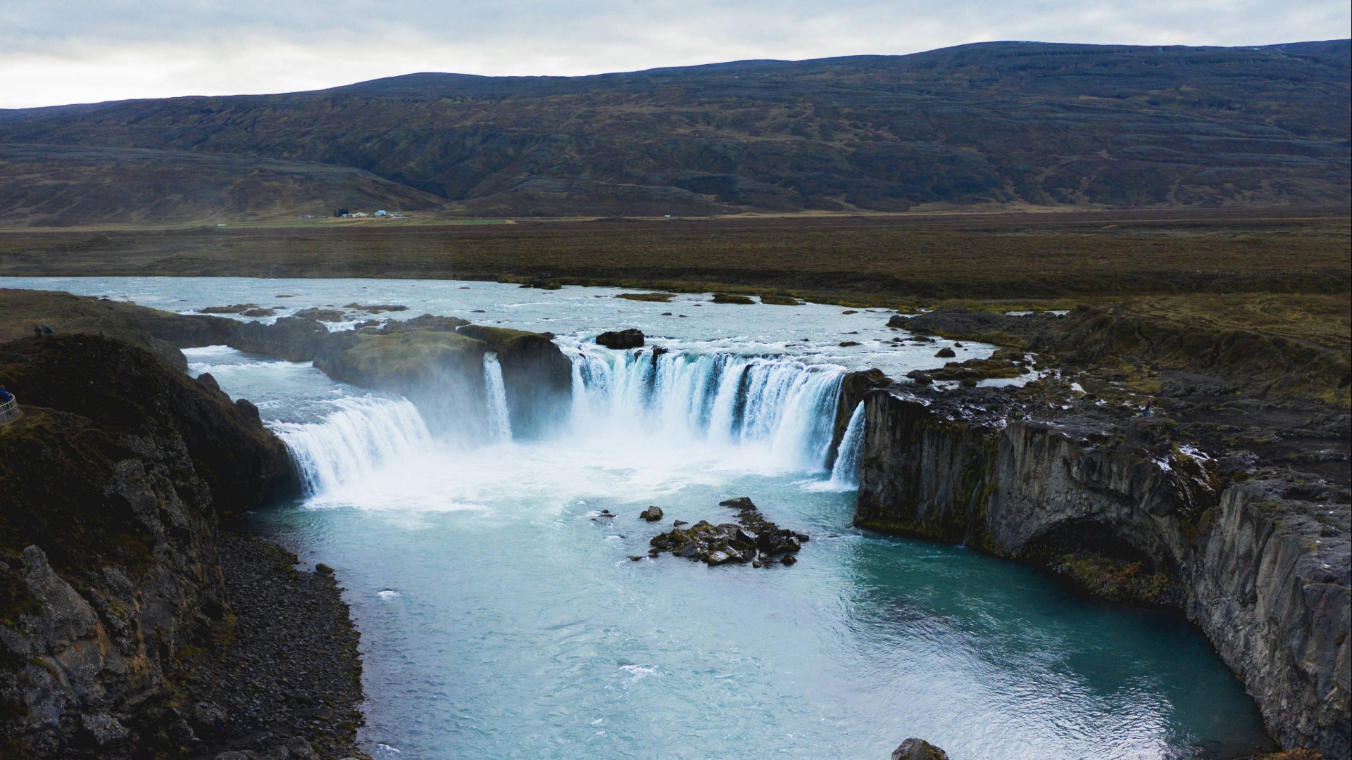
First stop is by Waterfall Goðafoss and from there to Lake Mývatn area and stop at Hverir, boiling mud pits, by Mt. Námafjall. That area is considered by many the most beautiful and at the same time the most catastrophic place in Iceland. We will take a short stop in Víti crater near Krafla Volcano.
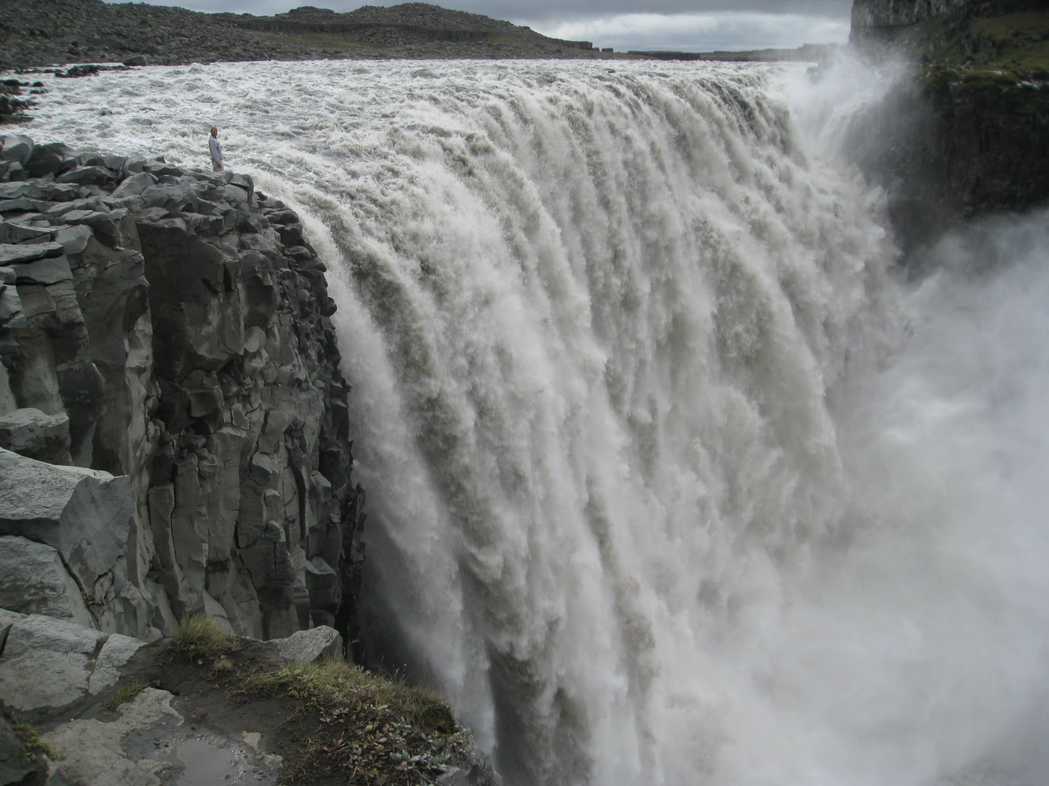
Next stop is by Waterfall Dettifoss 45m high and 100m wide, where a mass of water, mud and sand rumbles into Iceland’s most impressive canyon.
After Dettifoss we travel alongside the Jökulsárgljúfur glacial canyon to Vesturdalur valley and to Hljóðaklettar, the echoing cliffs. They are world known for their basalt columns that characterize the ancient crater remains.
Next we come down to the imposing horseshoe-shaped canyon Ásbyrgi, surrounded by precipitous cliffs. This place is known to be the meeting place of the pagan Gods.
We then take our time to stop at a café when we drive through Húsavík village on our way back to Akureyri.
This tour includes comfortable private transportation, a complimentary pickup service, and an English-speaking guide to enhance your experience.
Warm clothes, Good hiking shoes, Water bottle, Lunch pack
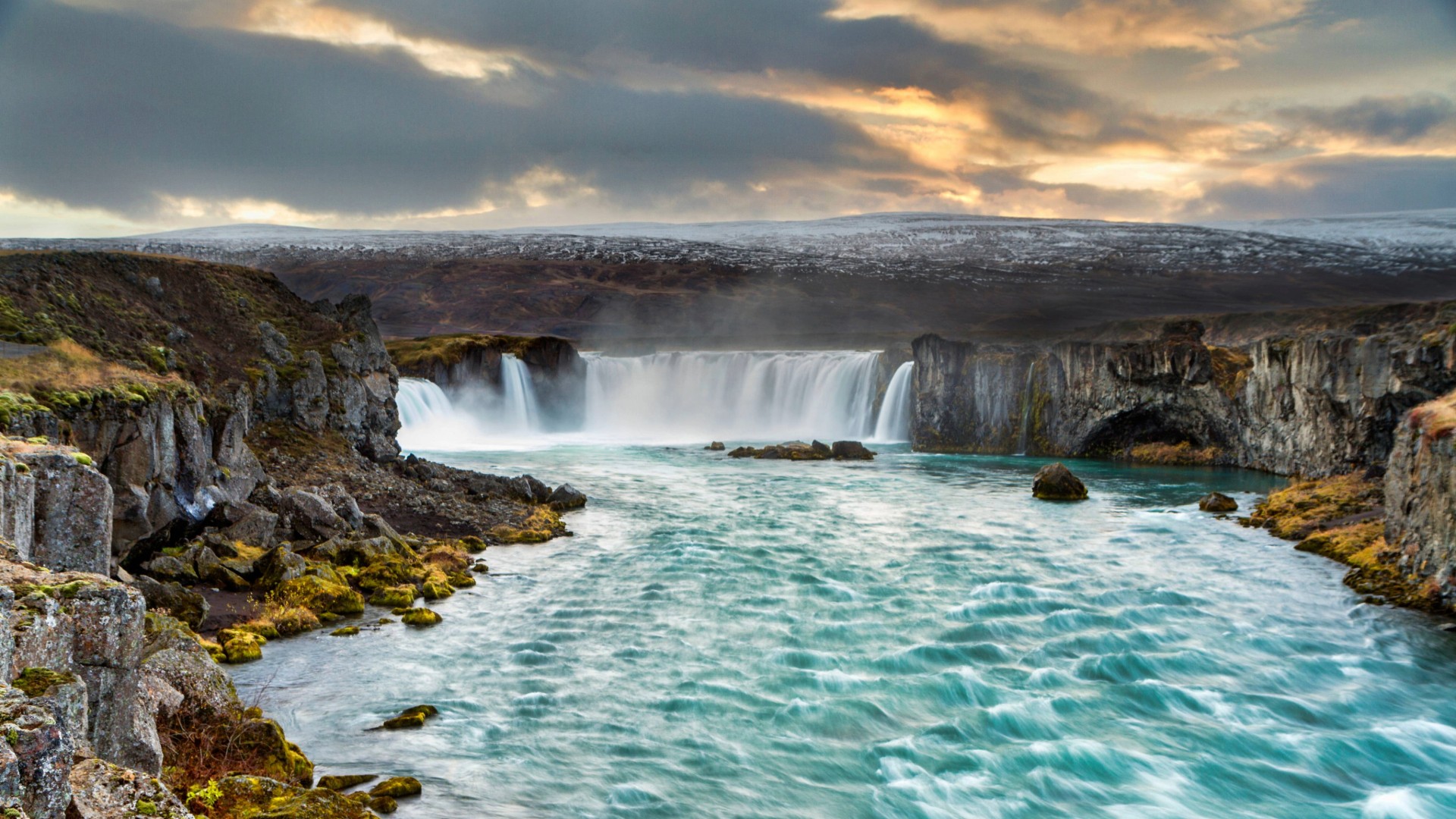
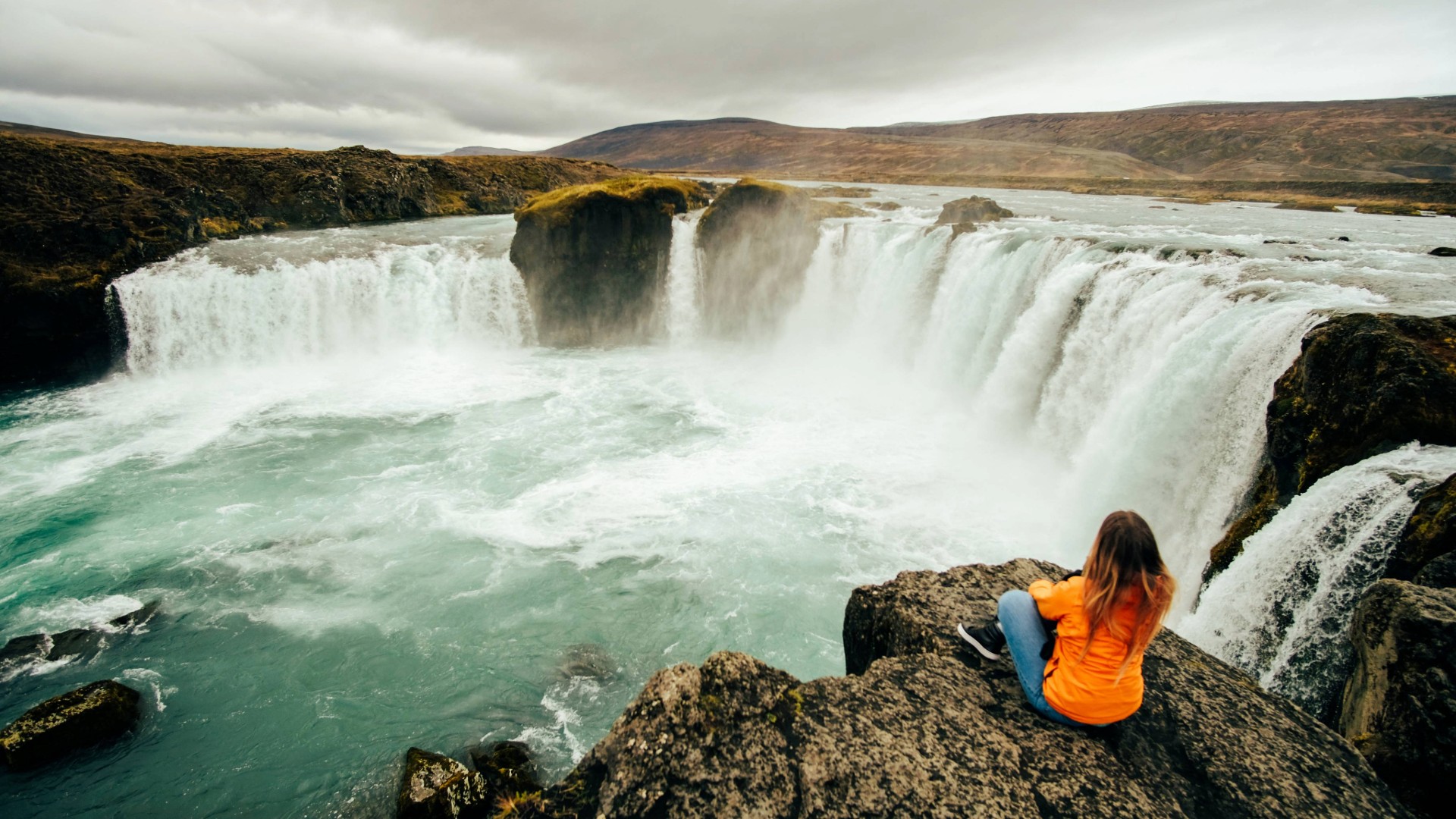
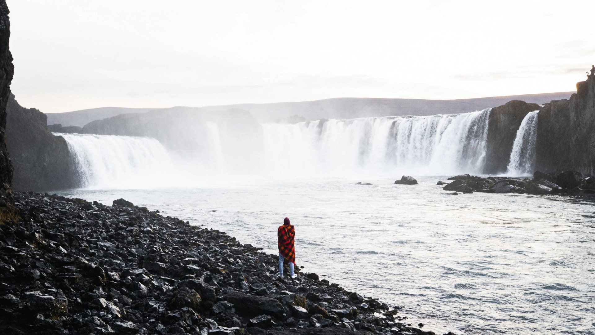
ゴザフォス滝はアイスランドで最も美しい滝の 1 つです。その歴史から神の滝と呼ばれています。 1000年、ソルゲイル・リョスヴェトニンガゴージはキリスト教をアイスランドの国教とし、神の像を滝に投げ込むことを進めました。.
水は高さ12メートルから幅30メートルにわたって落ちます。.
Beautiful lake region Mývatn is located in North of Iceland. Mývatn is Iceland’s fourth-largest lake with an area of 36.5 square kilometres.
The area around Lake Mývatn is unbelievably diverse. There you will find pseudo craters, lava formations, colourful mountains and geothermal area.
デティフォスは、アイスランド最大の氷河から流れる氷河川によって動力を供給されています, ヴァトナヨークトル.
デティフォスの幅は約 100 メートル (300 フィート) で、水は約 45 メートル (150 フィート) 下って峡谷に落ちます。.
セルフォス()は、アイスランド北部のヨークルサー・ア・フィヨルム川にある滝。川は北極海の湾であるオクサルフィヨルズルに流れ込む前に、約30kmにわたっていくつもの滝を越えて落ちる。.
These extraordinary rock formations, some of them standing in the middle of Jökulsá á Fjöllum glacial river, are the remains of an ancient row of craters that have been eroded for centuries after centuries by the strong currents and floods of the river.
Rauðhólar scoria cone and Hljóðaklettar are a part of a long row of craters, which erupted approximately 9,000 years ago.
Only the volcanic plugs are now remaining, but a catastrophic flood in the glacial river 2,500-3,000 years washed the volcanic material away.
Ásbyrgi is a glacial canyon and forest in the North of Iceland, located approximately 38 km east of Húsavík on the Diamond Circle road. The horseshoe-shaped depression is part of the Vatnajökull National Park and measures approximately 3.5 km in length and over 1 km wide.
Húsavík is a town in Norðurþing municipality on the north coast of Iceland, on the shores of Skjálfandi bay, with 2,307 inhabitants. The most famous landmark of the town is the wooden church, Húsavíkurkirkja, built in 1907.
Meeting point: Hof culture house, Strandgata 12
274.990 ISK
200.990 ISK
223.978 ISK
125.990 ISK
103.990 ISK
210.990 ISK
179.990 ISK
26.990 ISK
20.990 ISK
2.650 ISK
旅行のヒント、新しいガイド、オーロラの予報が良くなったときのヘッドアップ スパムはありません。.