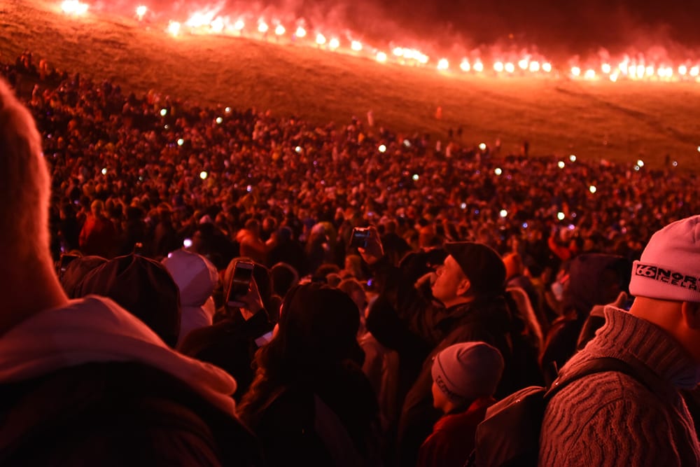
Northern Lights | Super jeep | Private Tour (6 max)
From ISK 150000

If you are looking for a place to hike in Iceland, Glymur is a perfect and easy choice. Located in the Western part of the country, only one hour away from Reykjavík, you will experience Glymur’s hike in approximately 3 hours, and the stunning views you will have are unbelievable.
A large number of Icelanders love outdoor activities, and there is a reason behind it: the beauty of its nature. Who wouldn’t spend time enjoying stunning views, walking over mountains and glaciers, or reaching one of the tallest waterfalls in the country? If you are visiting Iceland, or even living here but never hiked before, this is something you should include in your agenda. It is fundamental to check the weather forecast before doing the hike. A pleasant sunny day is perfect and highly recommended if you are not that experienced when it comes to these activities. Let’s see what to expect from hiking Glymur Waterfall in Iceland.
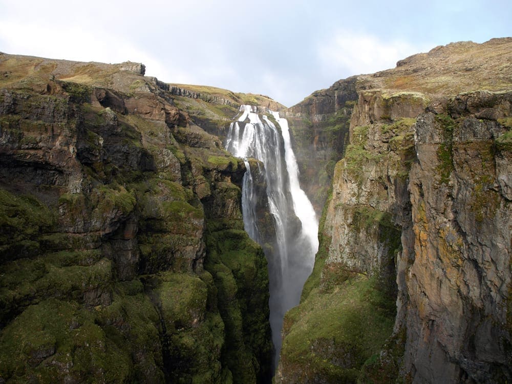
You will find Glymur in the Western part of the country, just one hour up north from Reykjavík. For many years, Glymur was considered the tallest waterfall in Iceland. With a height of 198 meters, Glymur can’t be observed from the starting point, so a 3.4 km is required to reach it. The waterfall is located in the Hvalfjordur fjord.
Not so long ago, the title of the tallest waterfall in Iceland was taken away from Glymur. With the melting of the outlet glacier of Vatnajókull called Morsárjökull, a new waterfall of 240 meters tall was discovered.
Total Distance: 7 km Up and back down.
Elevation: 245 meters
Duration: 3 – 3.5 hours
Required clothing: Good hiking boots and a jacket
Difficulty Level: Easy to Moderate
Put your boots on, take your things, and let’s start this hike! When you get to Glymur’s parking lot, you will see a big board with the map and some instructions for the trek. Read it very carefully. So, the path to Glymur has marked six stages or points. #1 is exactly where the parking lot is. The following are the stops to reach Glymur.
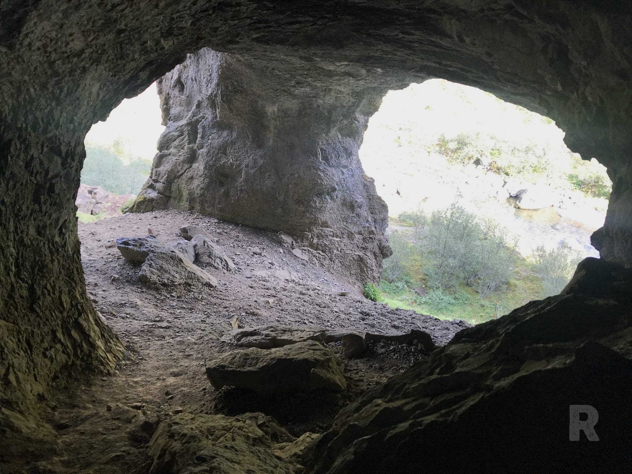
#2 Þvottahellir Cave (1.3km)
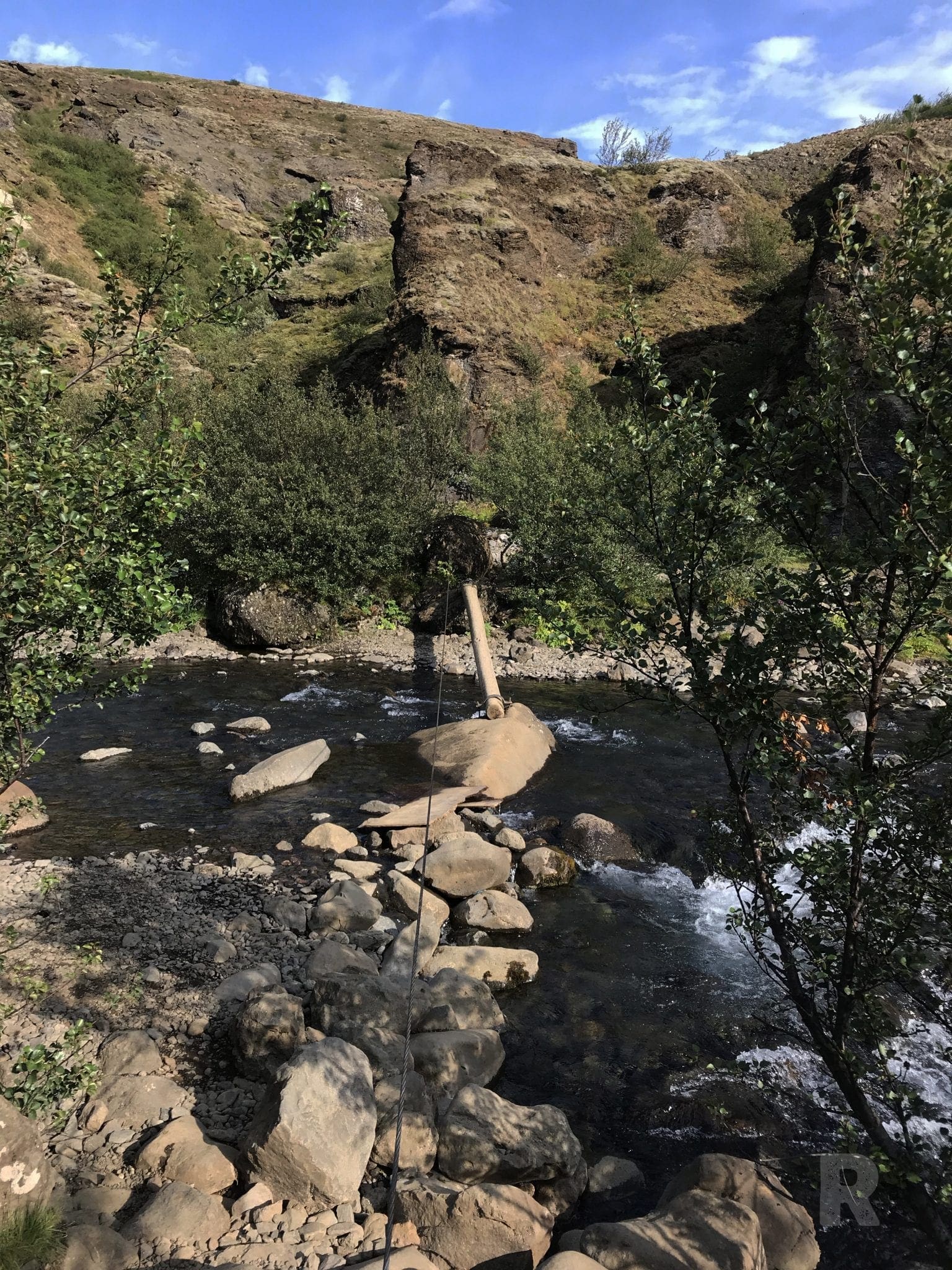
#3 Göngustaur – Walking Log (1.7km)
#4 Steðjasnós – lower viewpoint (2.4km)
#5 Hellupallur – higher viewpoint (2.6km)
#6 Glymur Waterfall (3.4km)
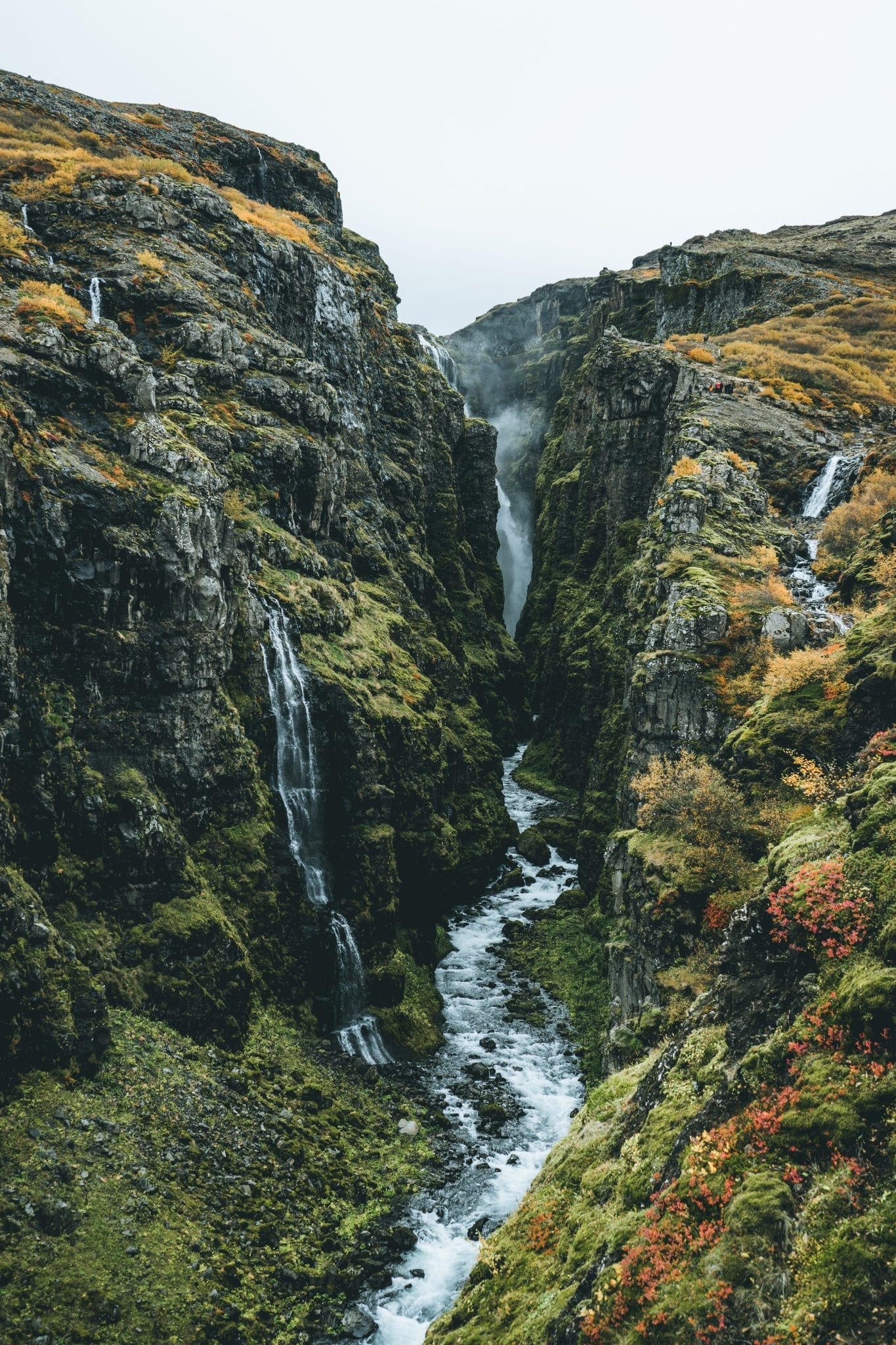
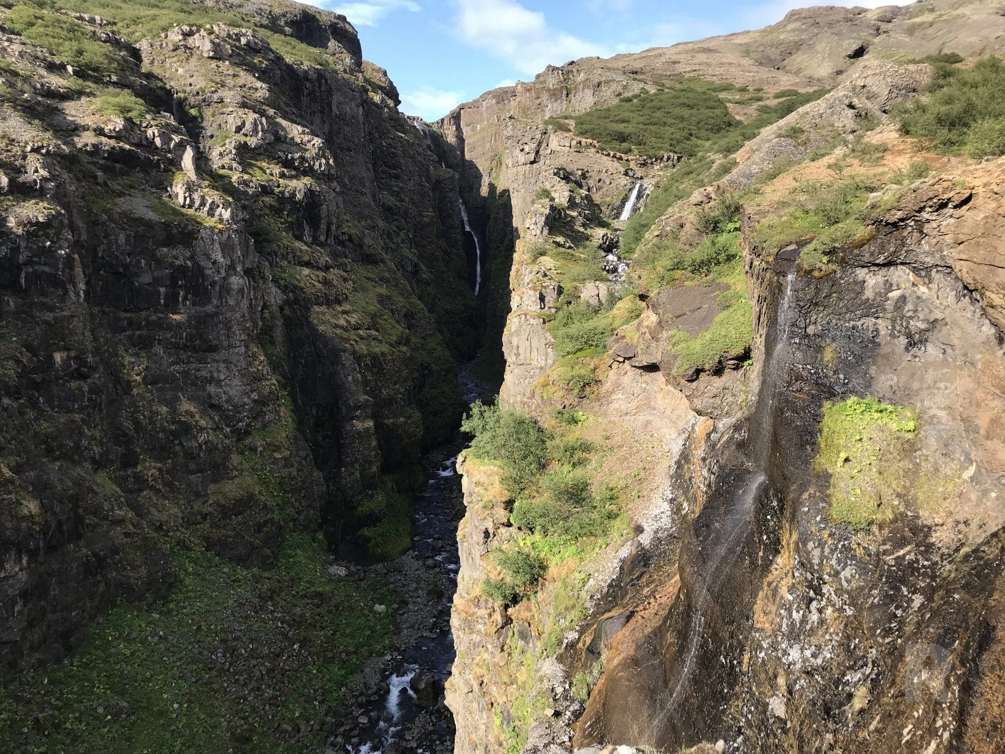
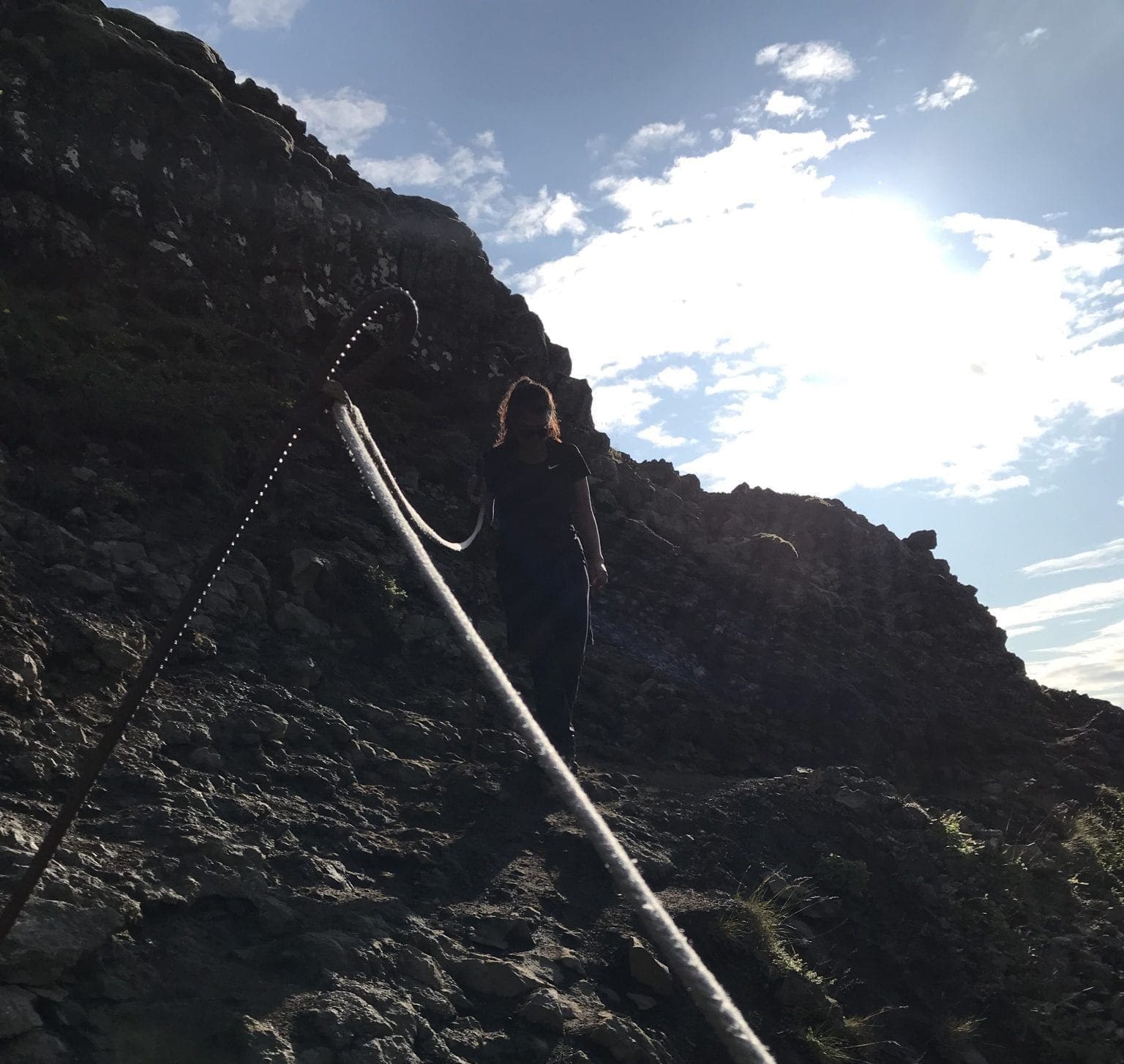
Continue your path. You will see the sign pointing where is Glymur located. And now the fun starts! At the third stop in Göngustaur, you will have reached 1.7km, and to continue to the waterfall you need to cross a log over a small river. There is a steady string tied from one side to the other, so it is very safe to cross. Just take your time to do it. You will continue to the lower viewpoint, Steðjasnós to reach 2.4 km. You start to see a small river coming from the waterfall on your left side.

Some additional information:
– The log to cross the river is not open during wintertime.
– To get to the cave (#2 stop) and back to the starting point, it is 1 hour approximately.
– From the starting point to #4 and #5 and back, it can be 3 hours.
It all depends on your walking pace or if you also stop or not for a while. But this hike is to be done between 3 and 3.5 hours. It’s a worth hike to do, and it can be easy and enjoyable with sunny and warm weather. Remember always to bring a jacket with you because on the top it can get very windy.
Join Iceland Insider for new guides plus a heads-up when the aurora forecast looks good. No spam.


Travel tips, new guides and a heads-up when the aurora forecast looks good. No spam.